-

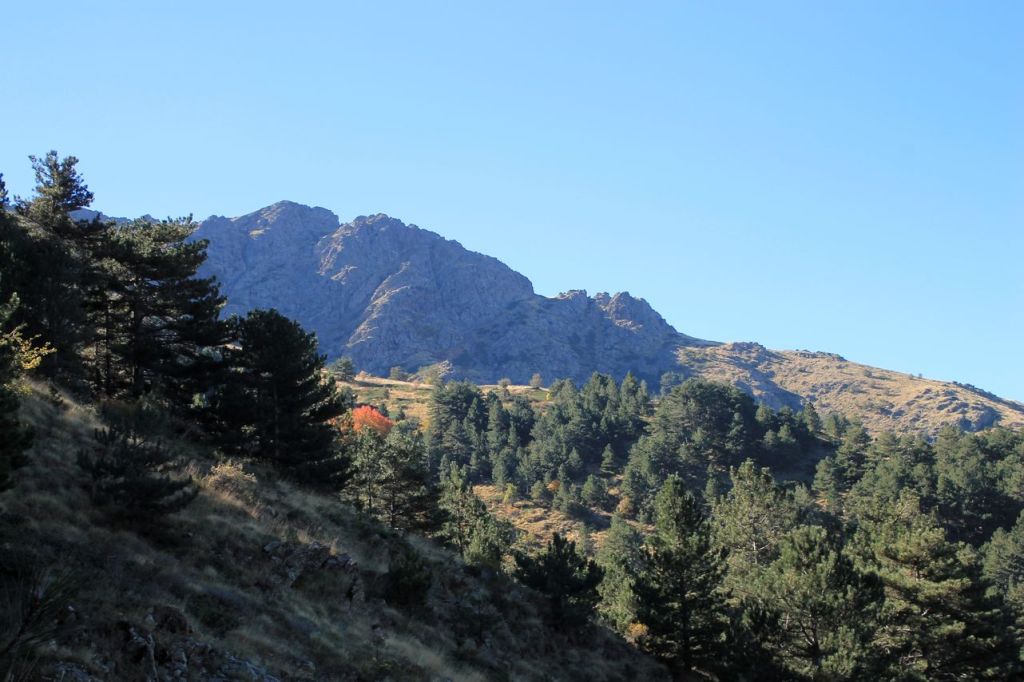
Turkiye. Korutürk – Halkapınar çeşmesi – Manastır – Balçova
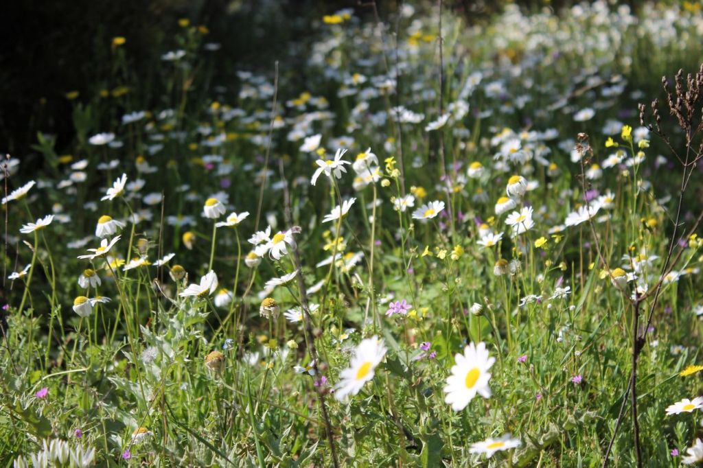
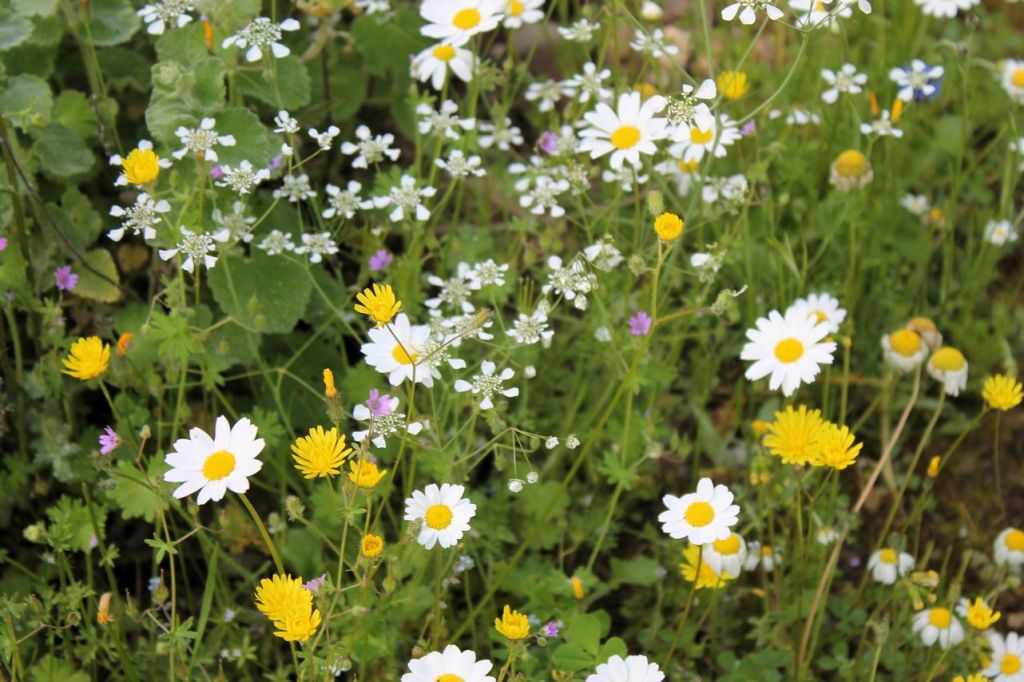
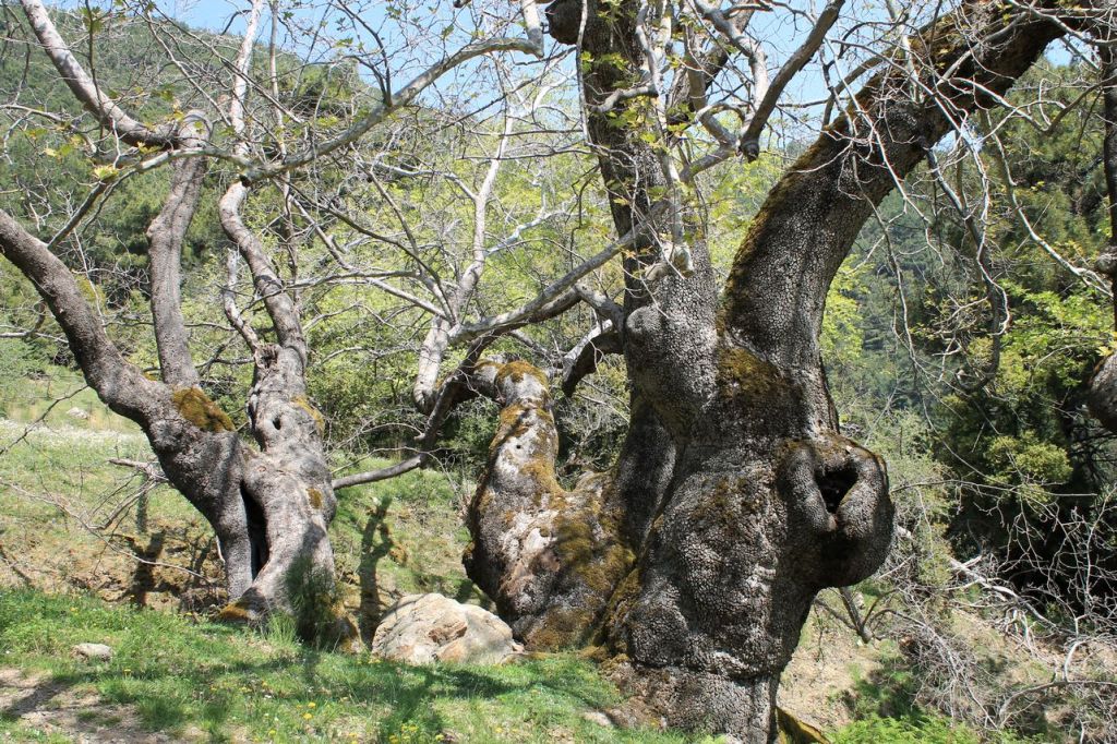
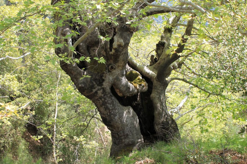
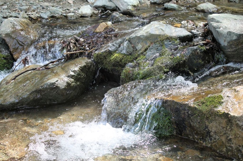
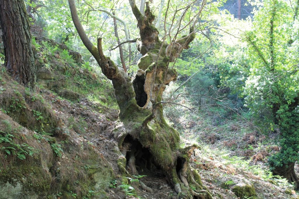
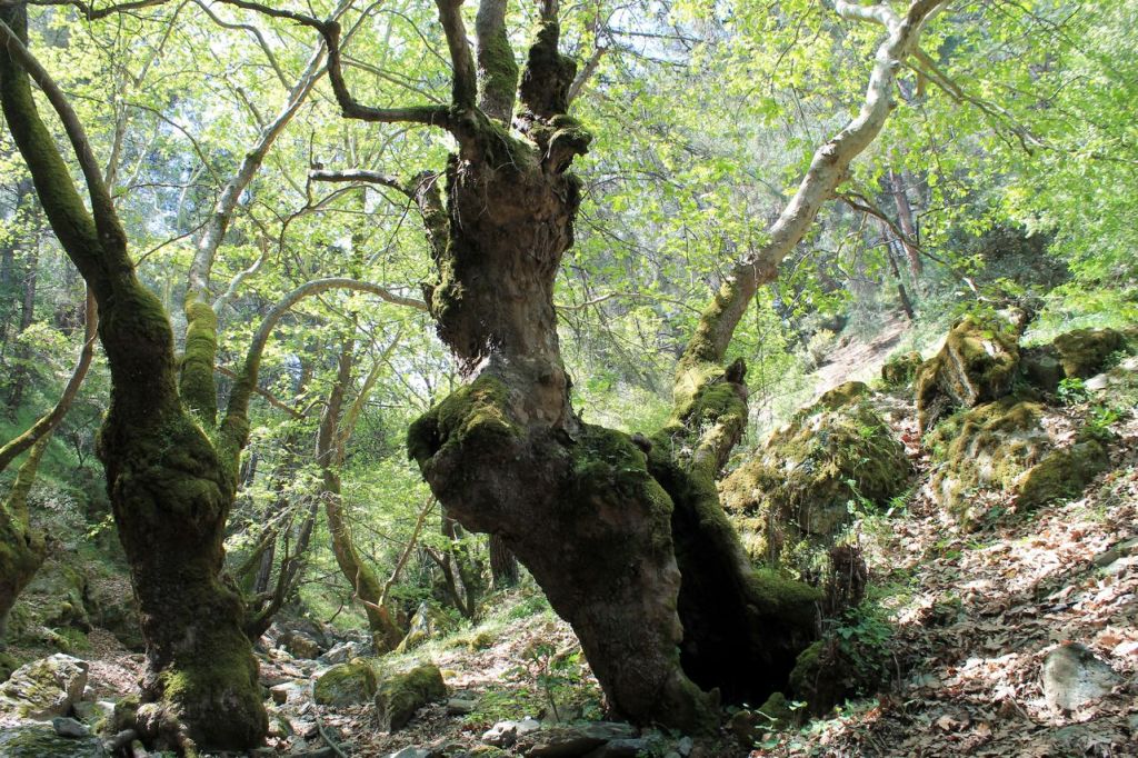
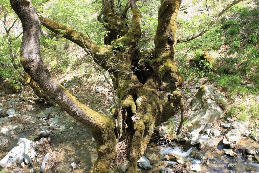
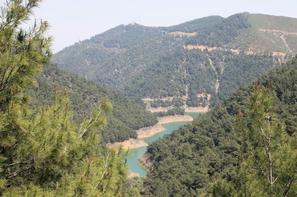
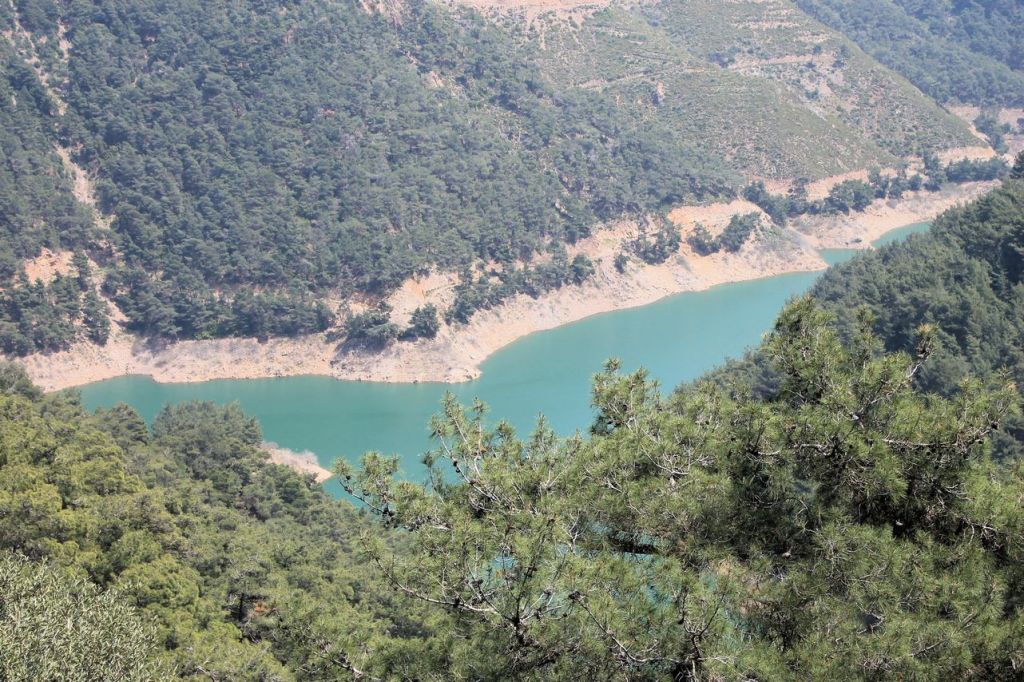
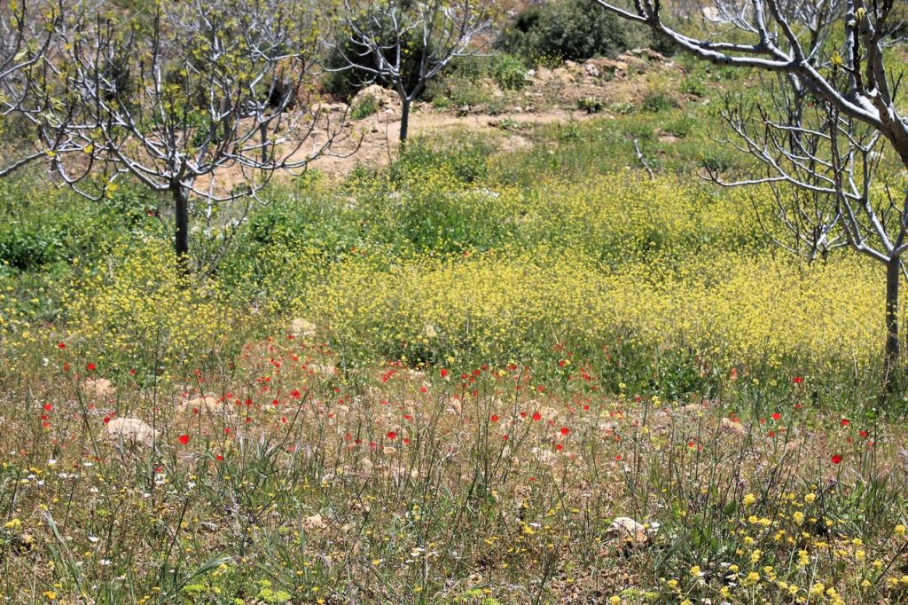
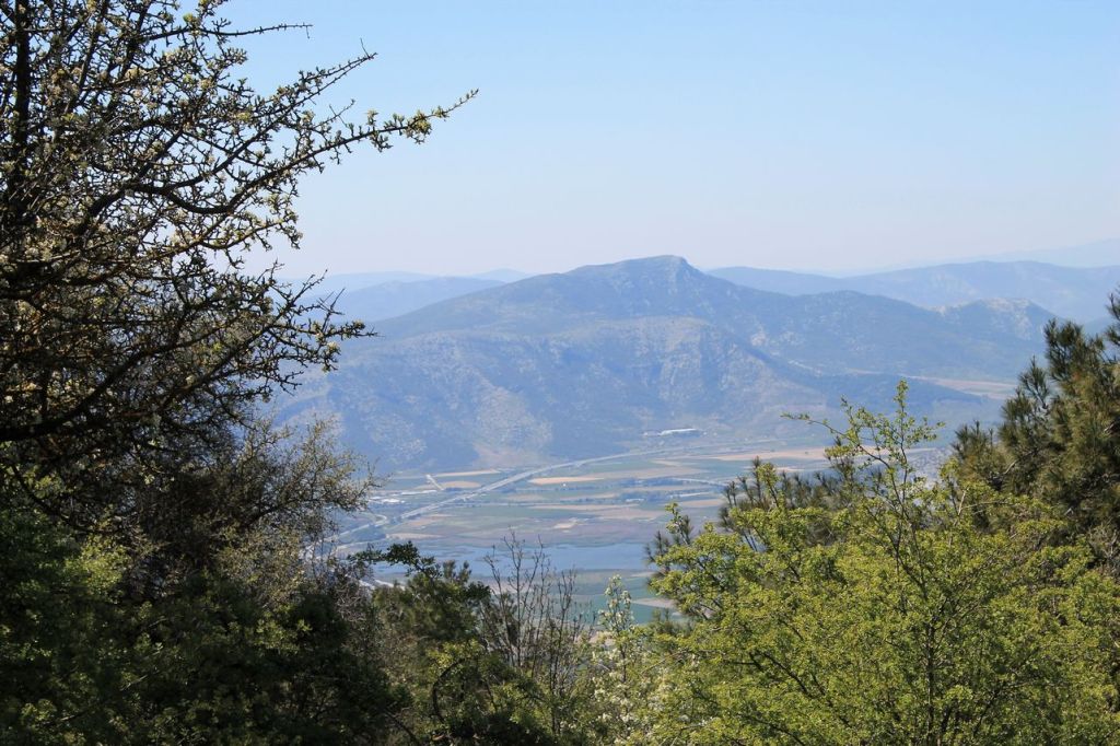
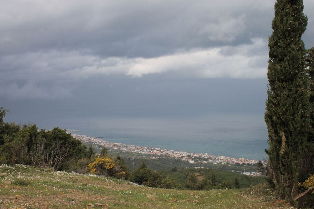
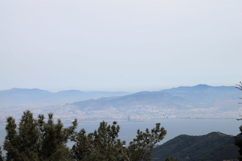
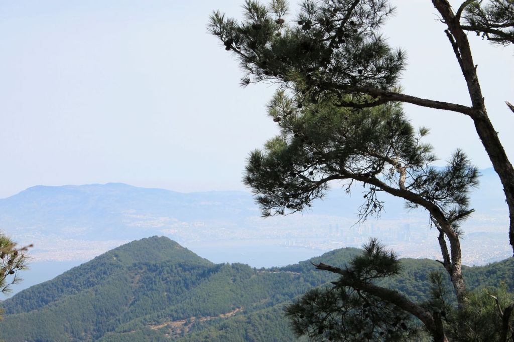
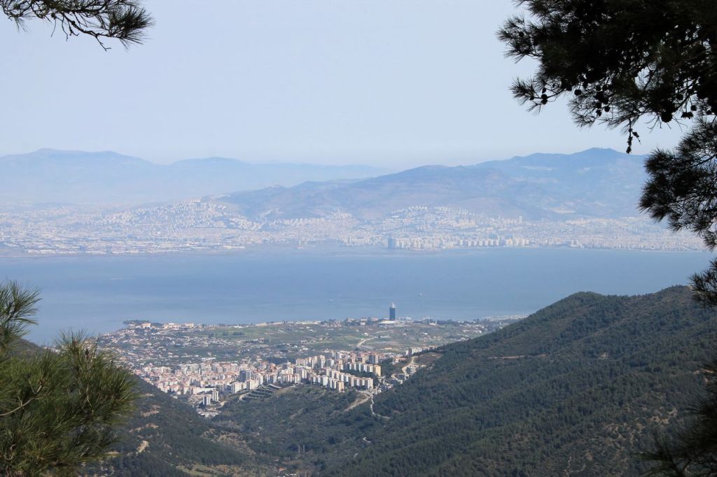
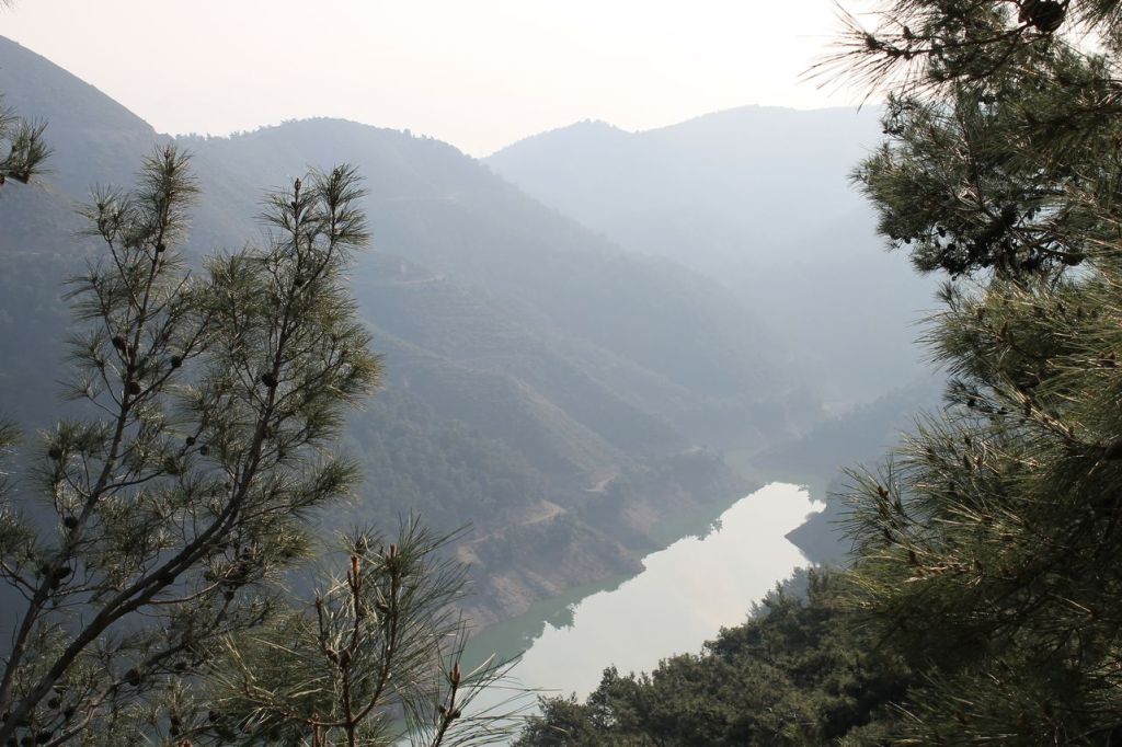
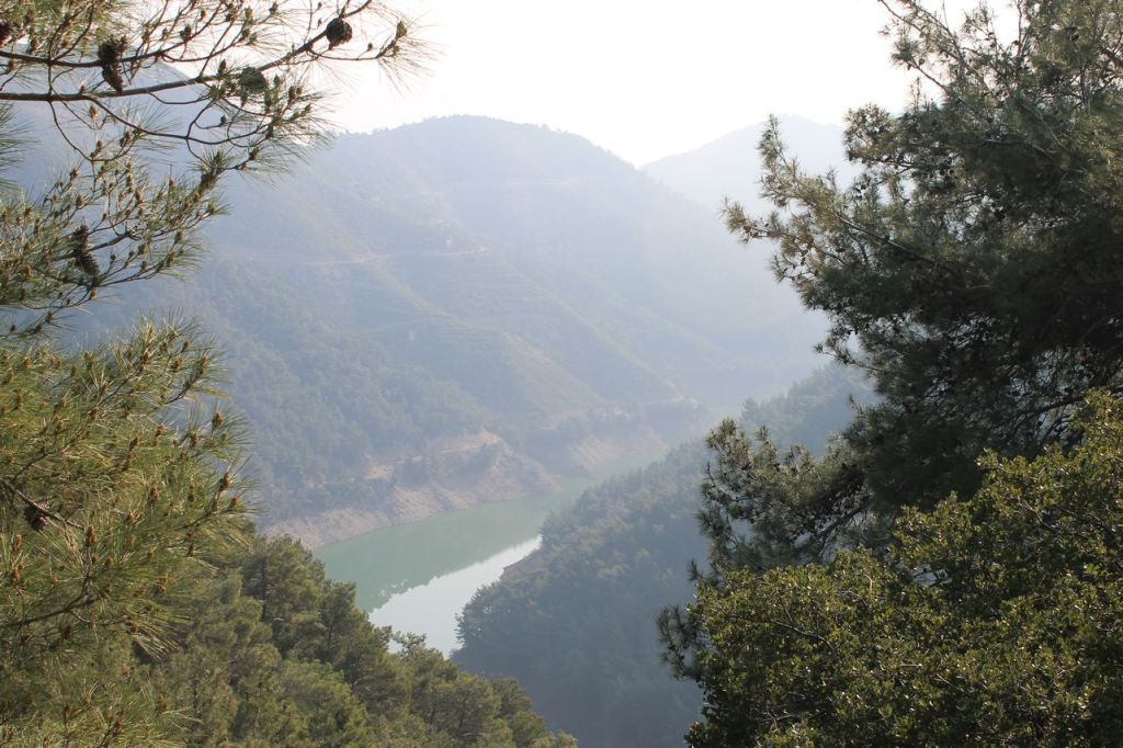
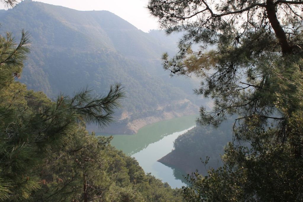
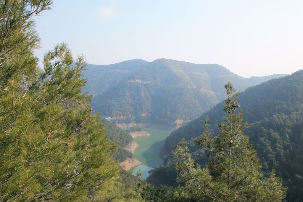
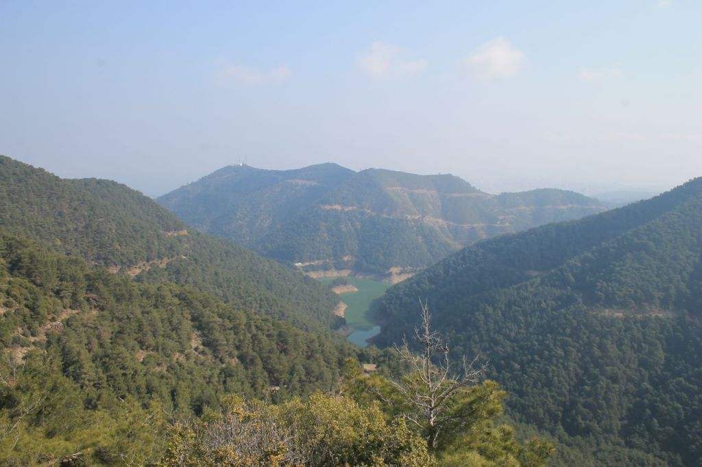
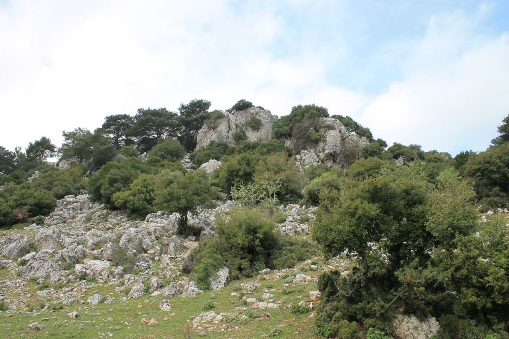
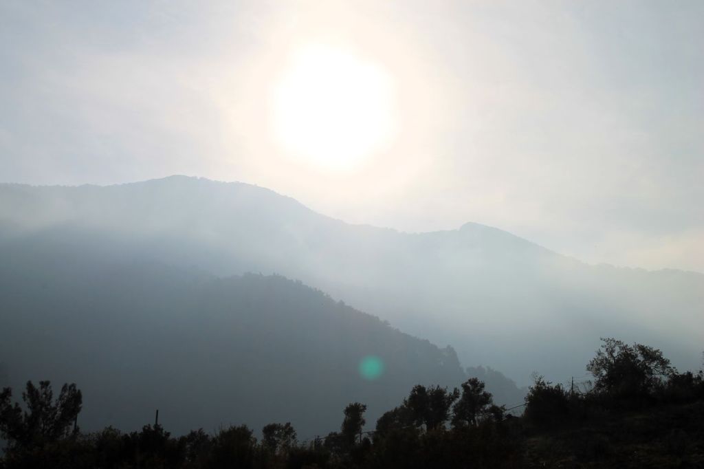
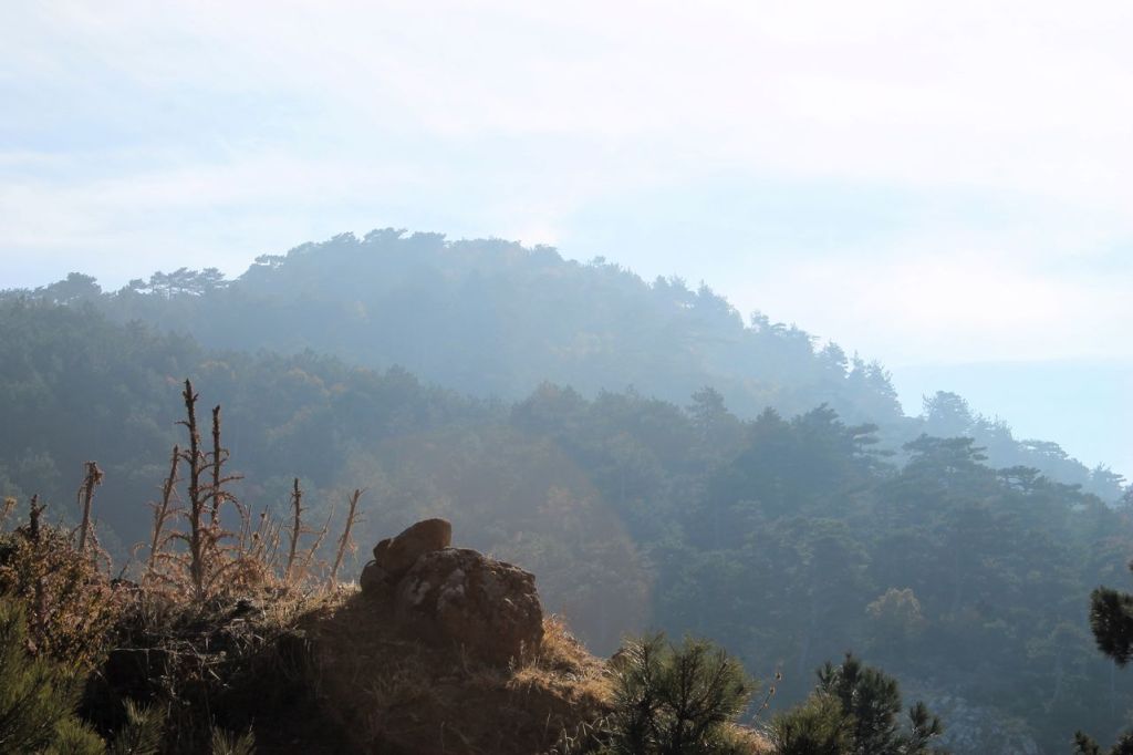
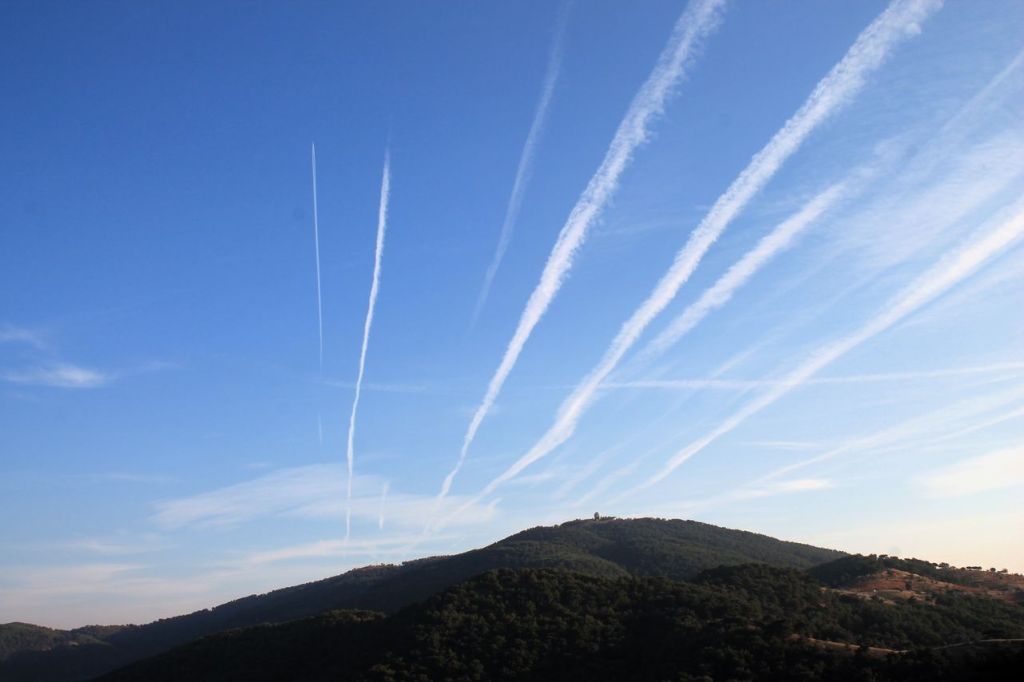
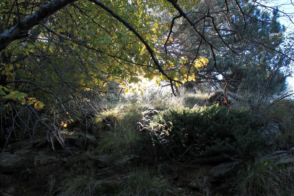
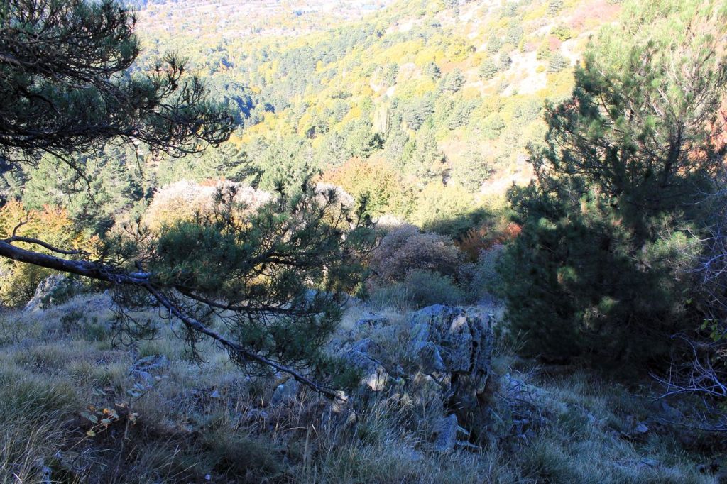
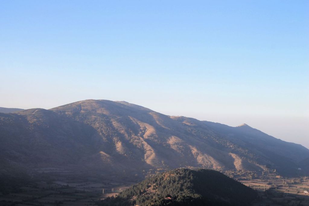
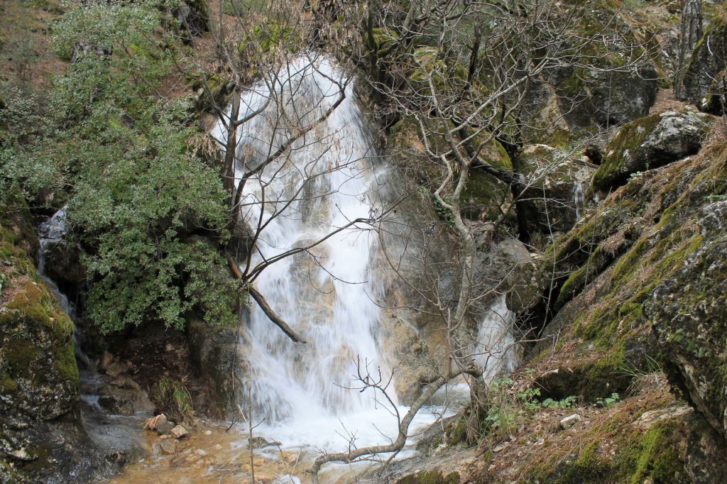
There was a public holiday in Turkiye in the middle of the week. I used it to take what has become a familiar route through the suburban hills of Balçova. I had walked it several times before, but each time by a slightly different route, and so I had never found the spring at the end of this route. This time I was better prepared and found Halkapınar çeşmesi. It was neither a spring nor a waterfall, but a small stream flowing into the Balčova dam. There are ancient trees along the bed of the rivulet. A nice shady place for a tired tourist to rest!😜The total distance was about 20km and the elevation gain was 770m. wikiloc

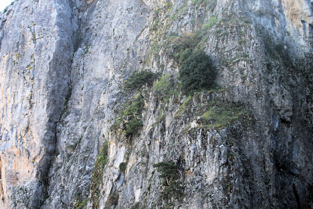
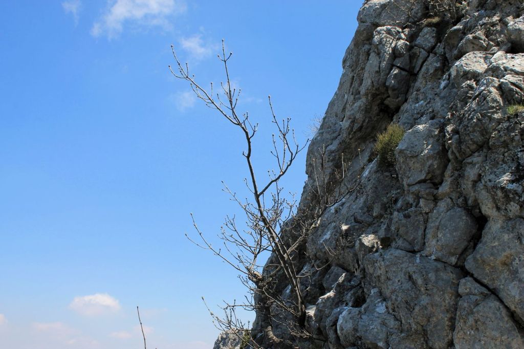
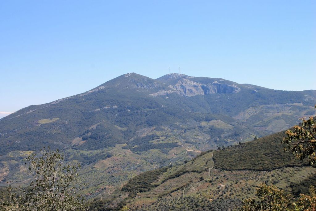
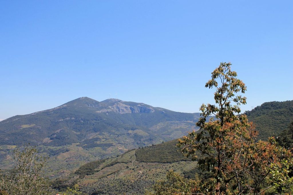
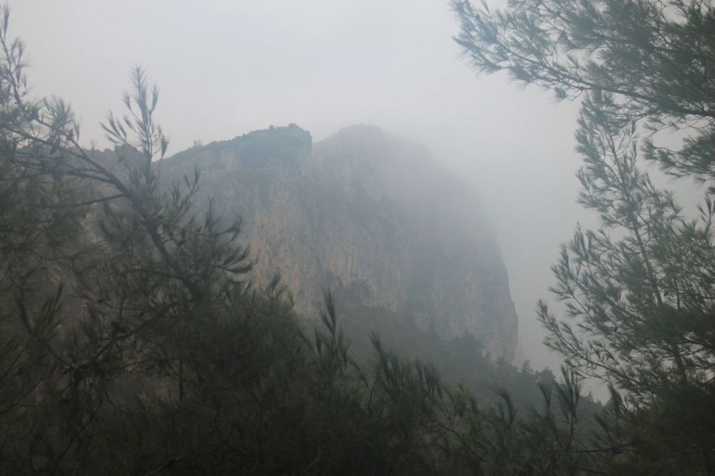
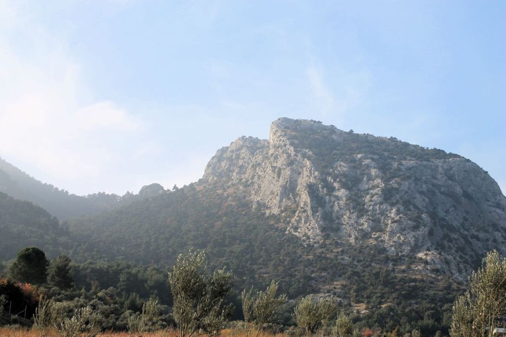
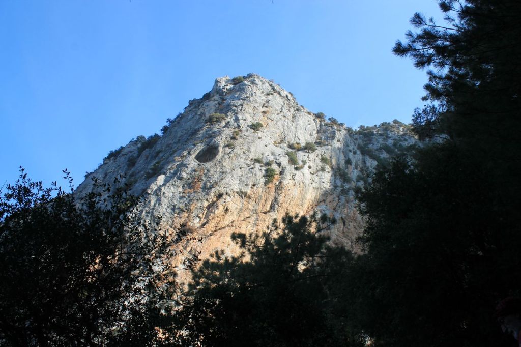
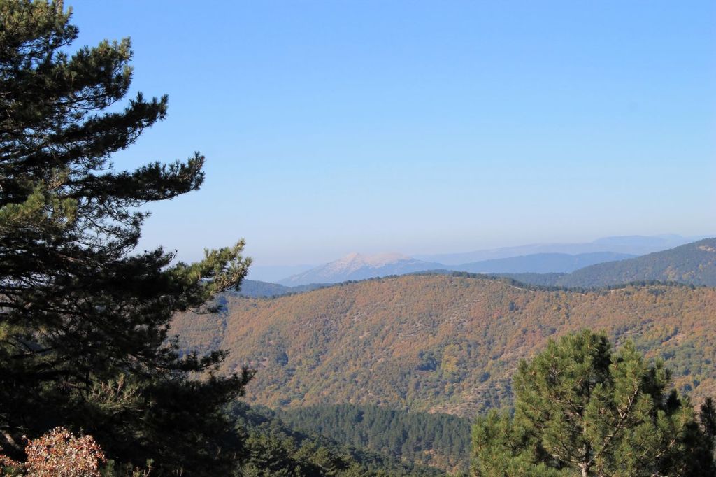
Chatalkaya mt. 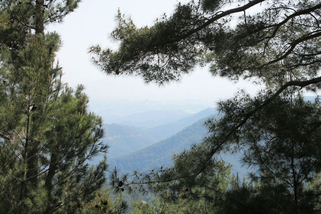

-
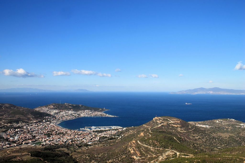
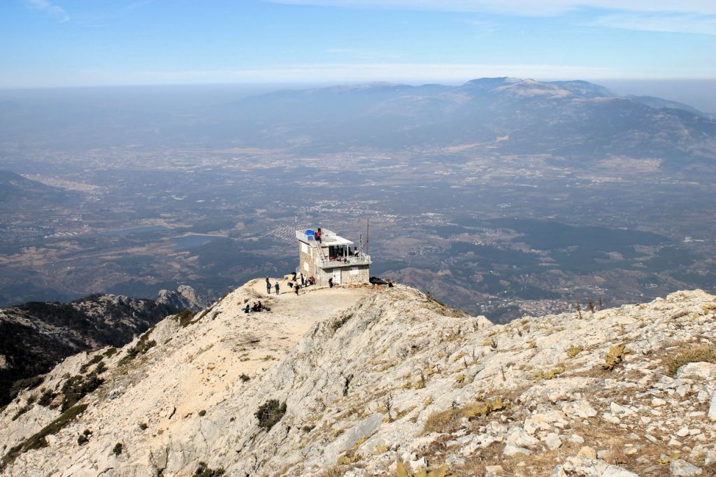
Turkiye. Manisa – Mt. Spil (1530m) – Beshpinar.
It was a hike with Izdak.org. I thought it will be a simple hike to the Spil mt. from south side. We did it already with the club at winter. But when we came out from a bus, I realized that we are near of the north side! Cool ))) The adventure was started but not all of us got their strengths right (( As a result most of the group went forward. One of the guides and me helped to the lagging. In favour I had a time to shot! wikiloc


-
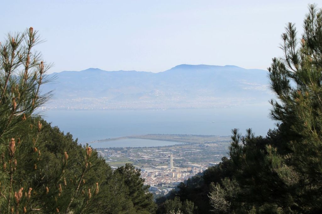
Turkiye. Akyurt – Büyükkale.
It was track about 18km by forest roads. The weather was perfect – sunny, not too hot, about 18-20 degrees. Good company! What else needs for happiness?
I forgot to turn on recording after the lunch and got a straight line wikiloc and closer to the finish my phone ran out of power. About 5 km was lost. ups… Here is more truly recording from mates wikiloc

-
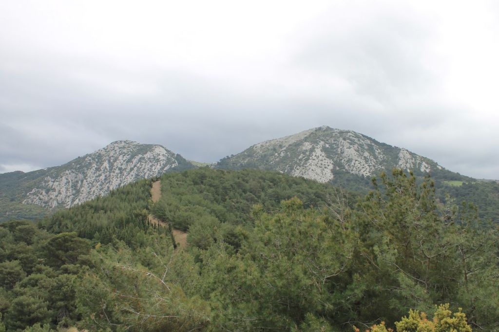
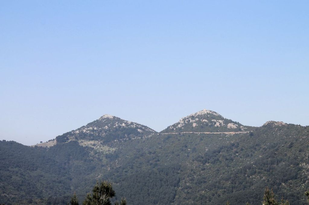
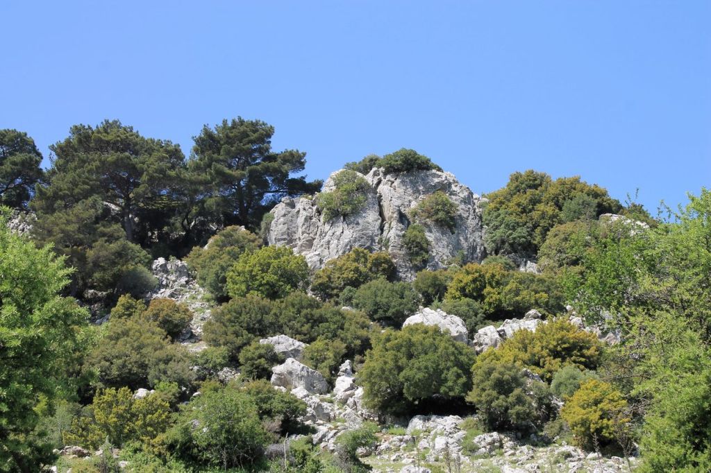
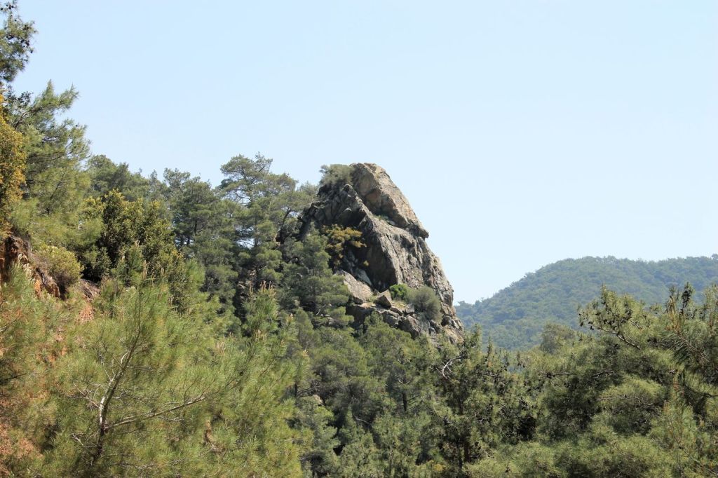
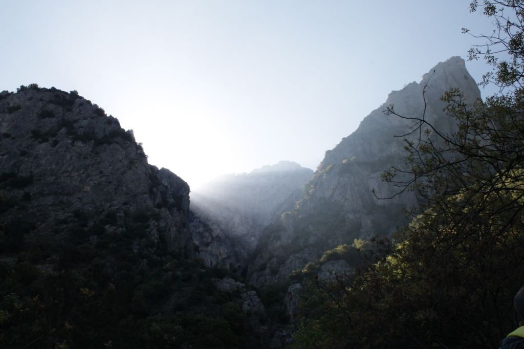
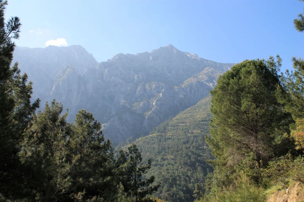
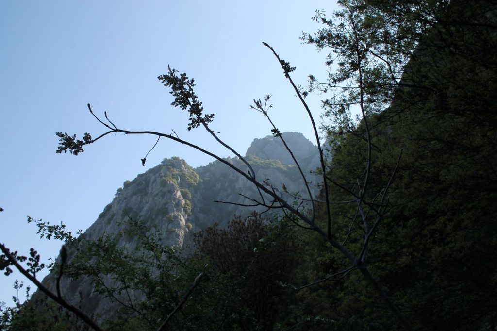
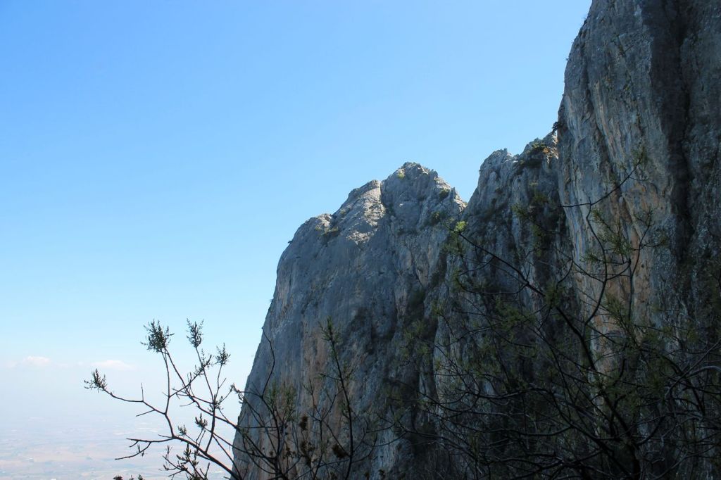
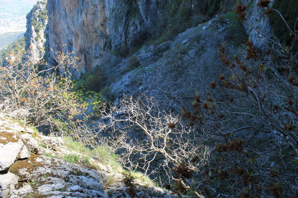
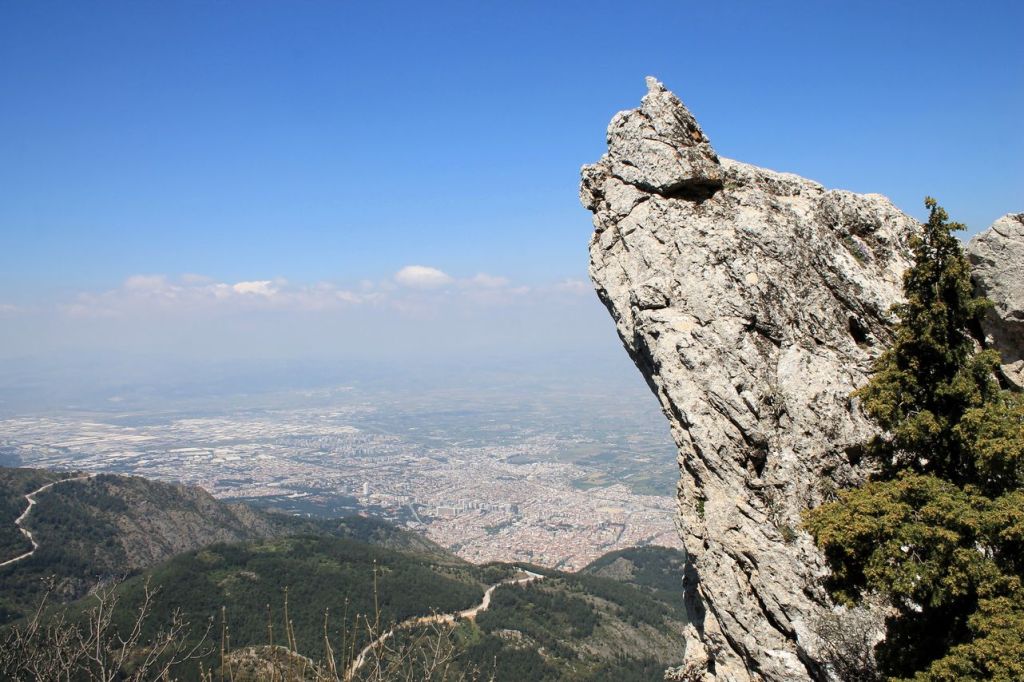
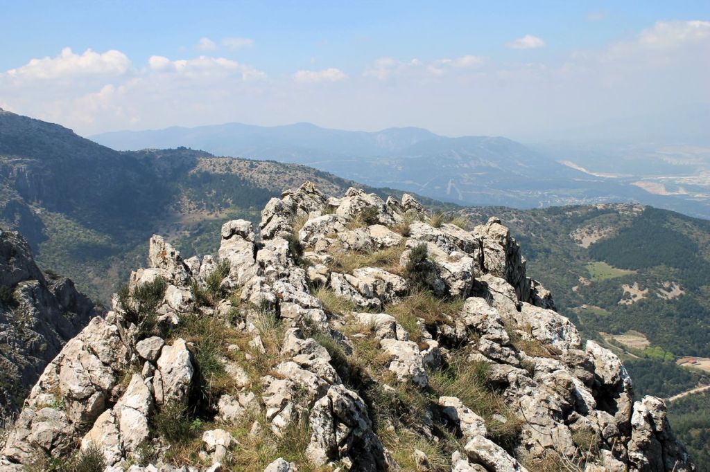
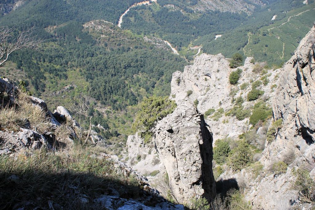
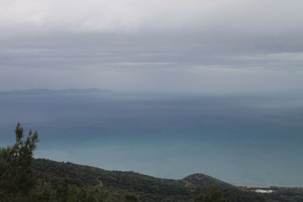
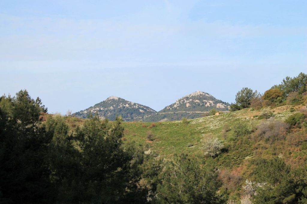
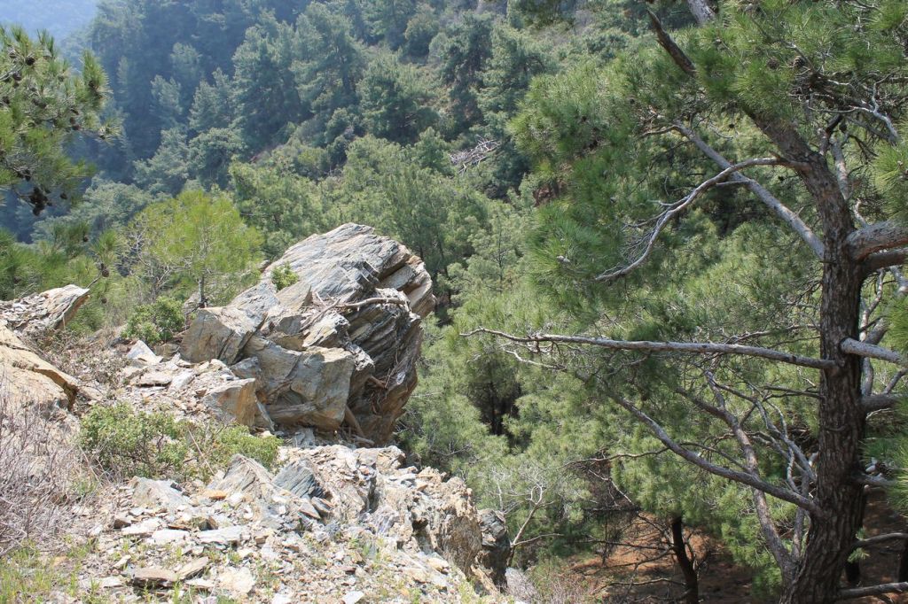
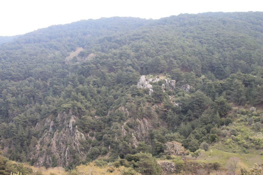
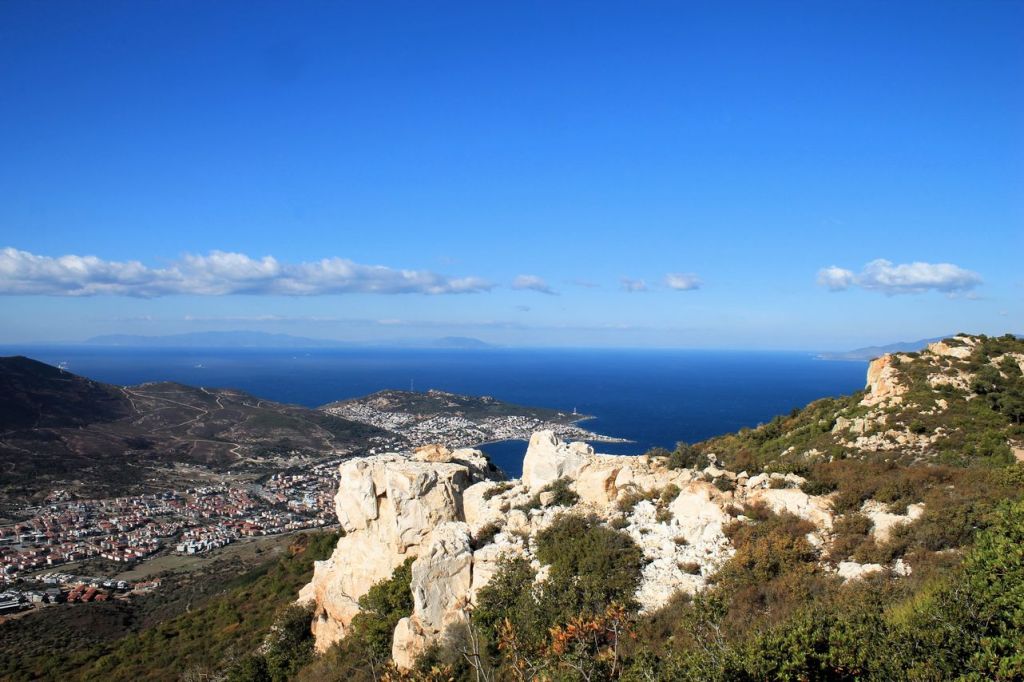
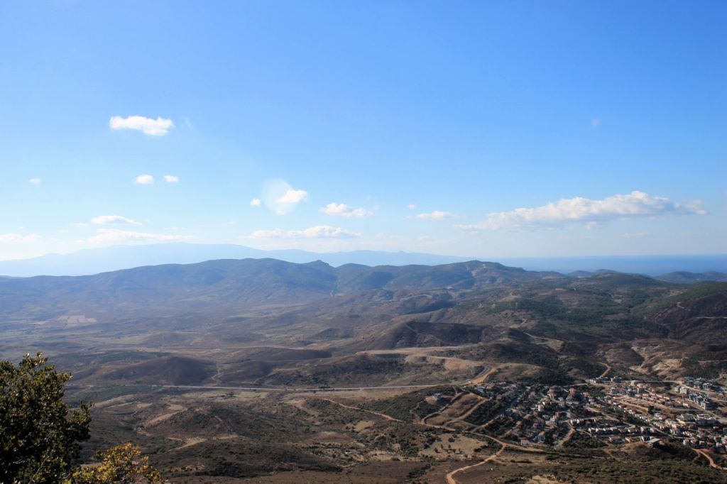
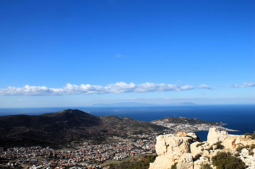
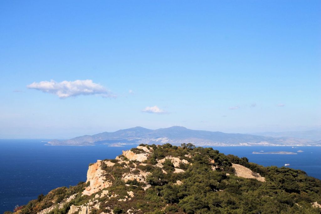
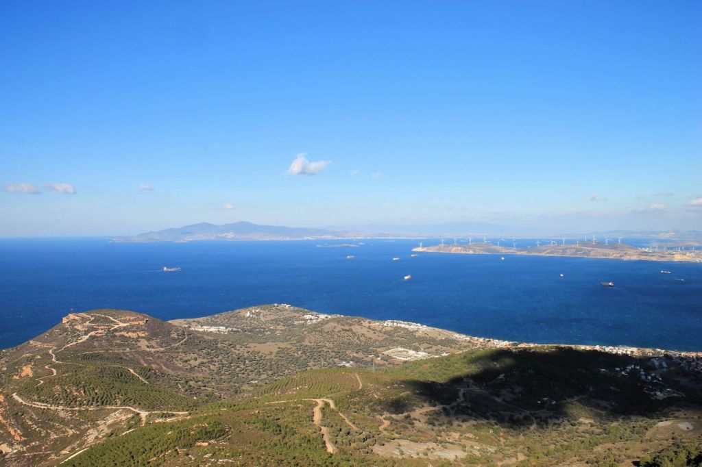
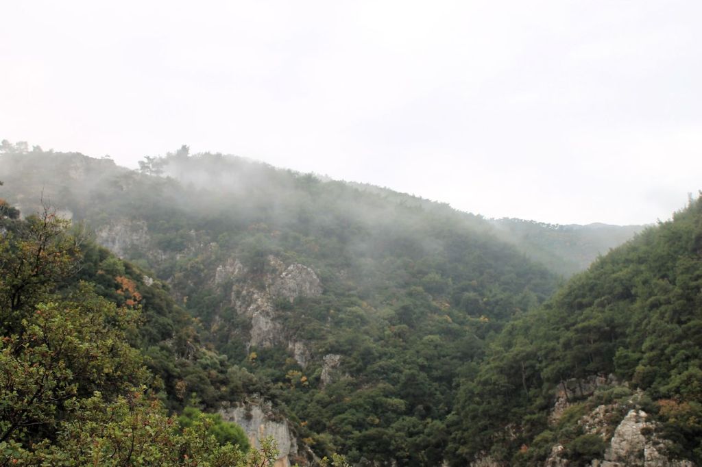
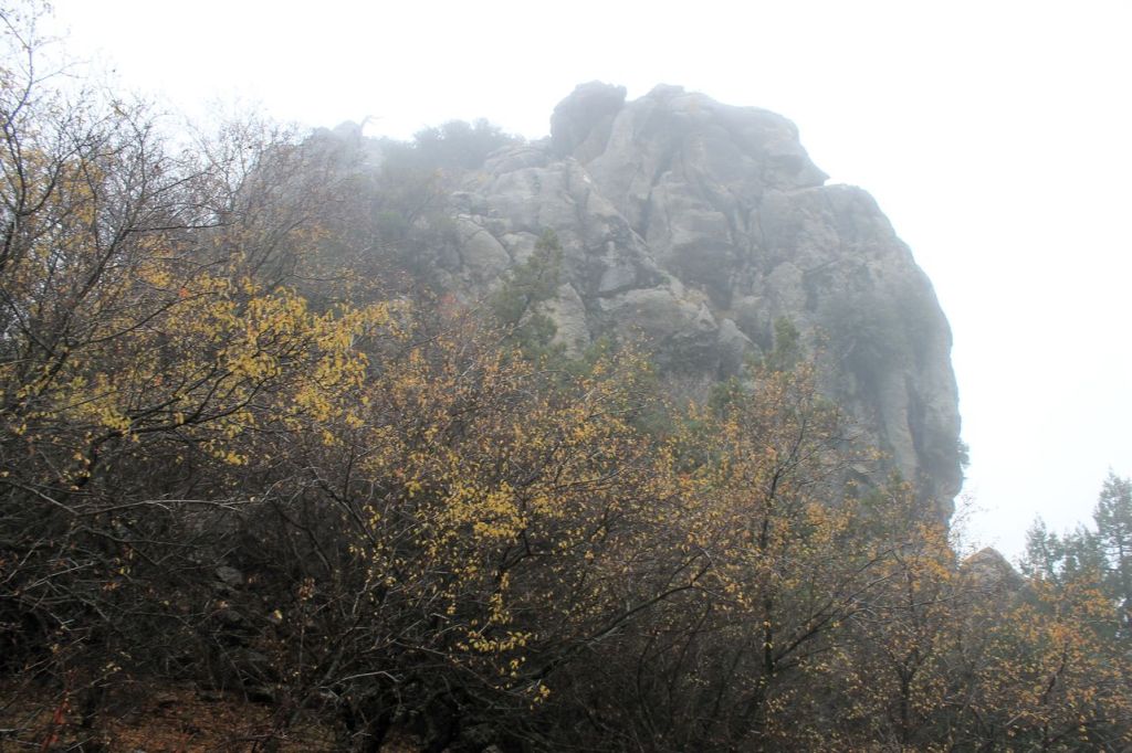
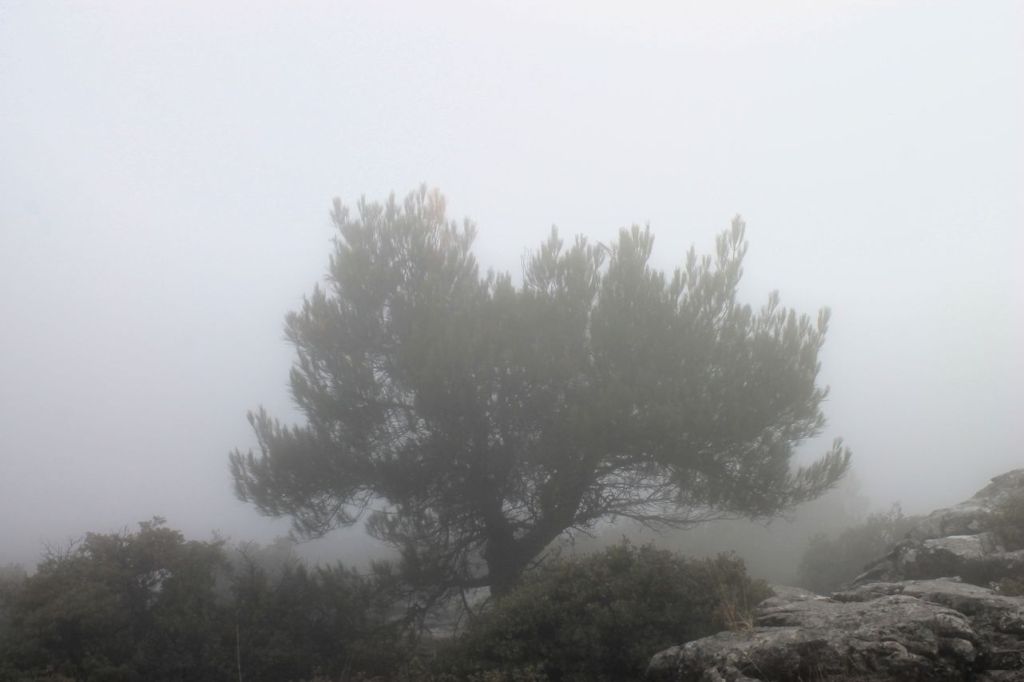
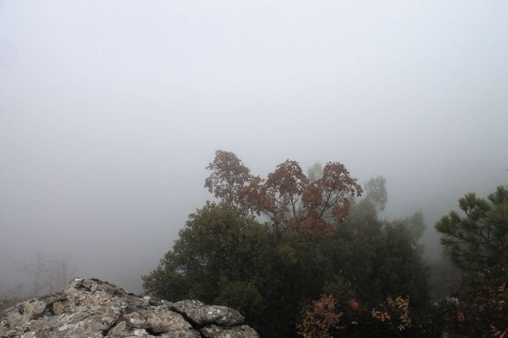
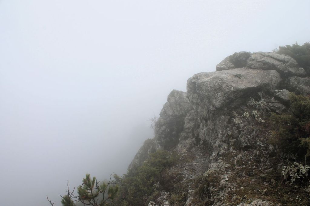
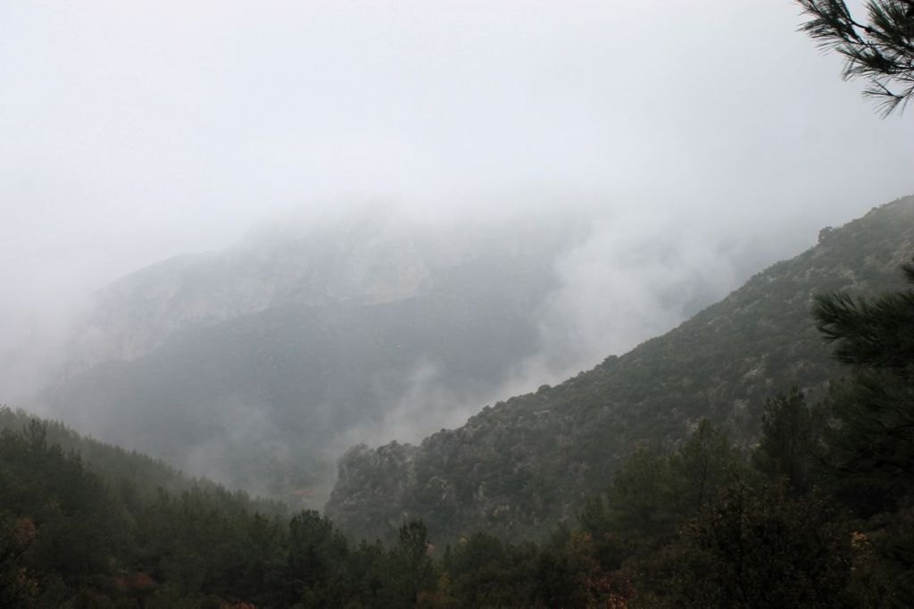
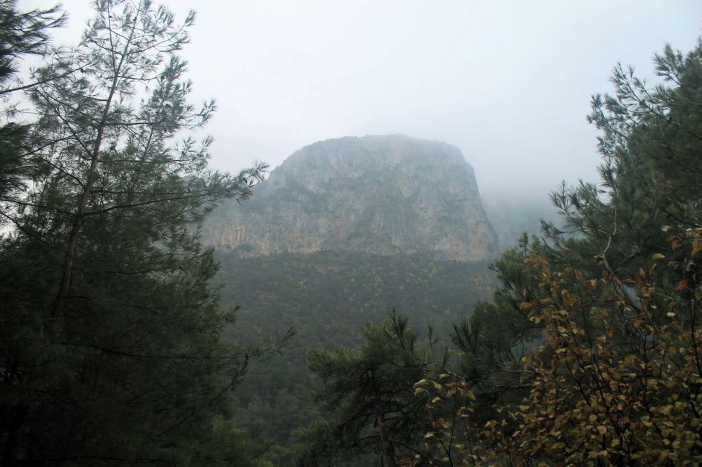
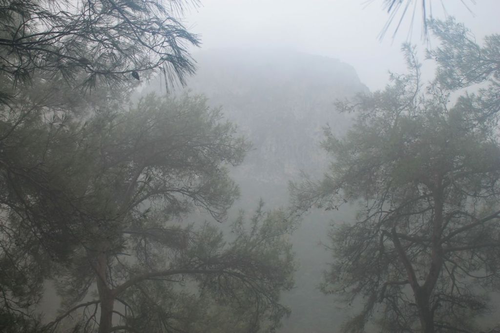
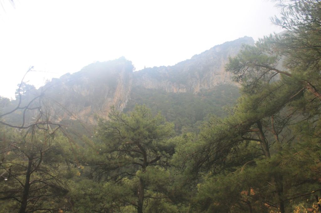
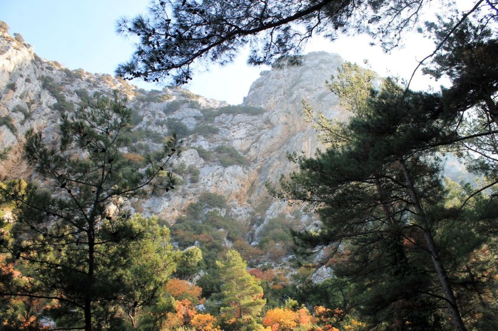
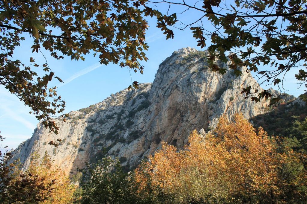
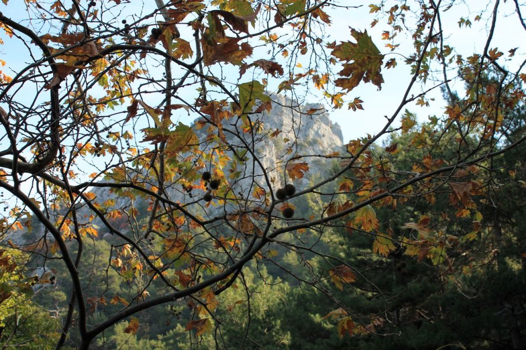
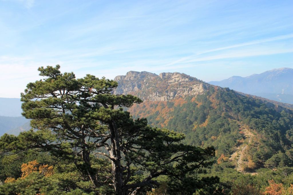
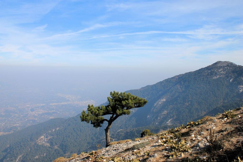
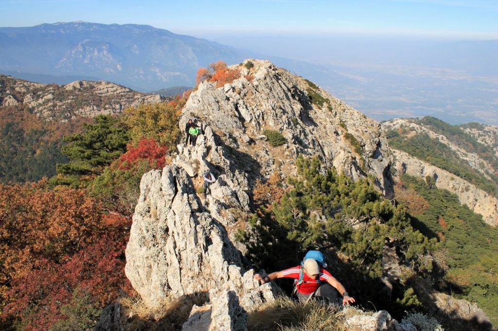
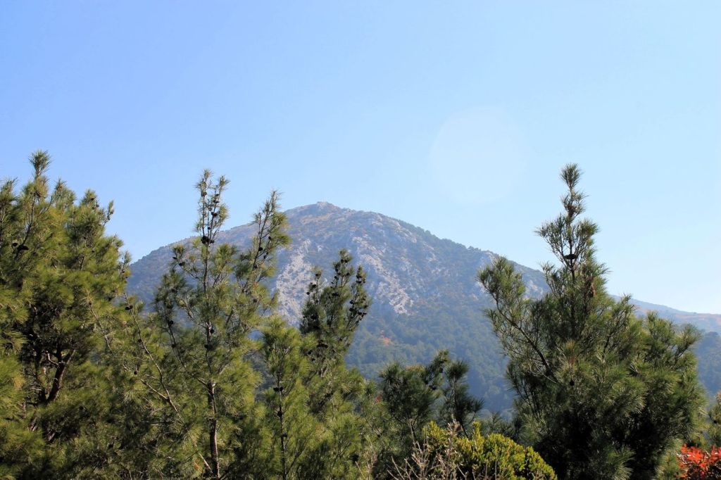
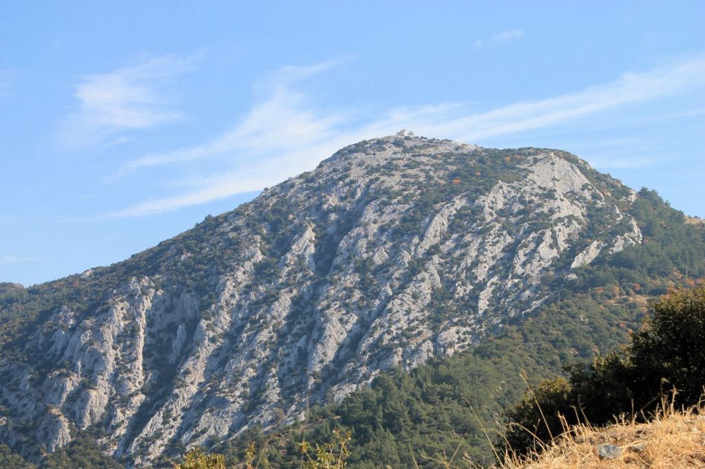
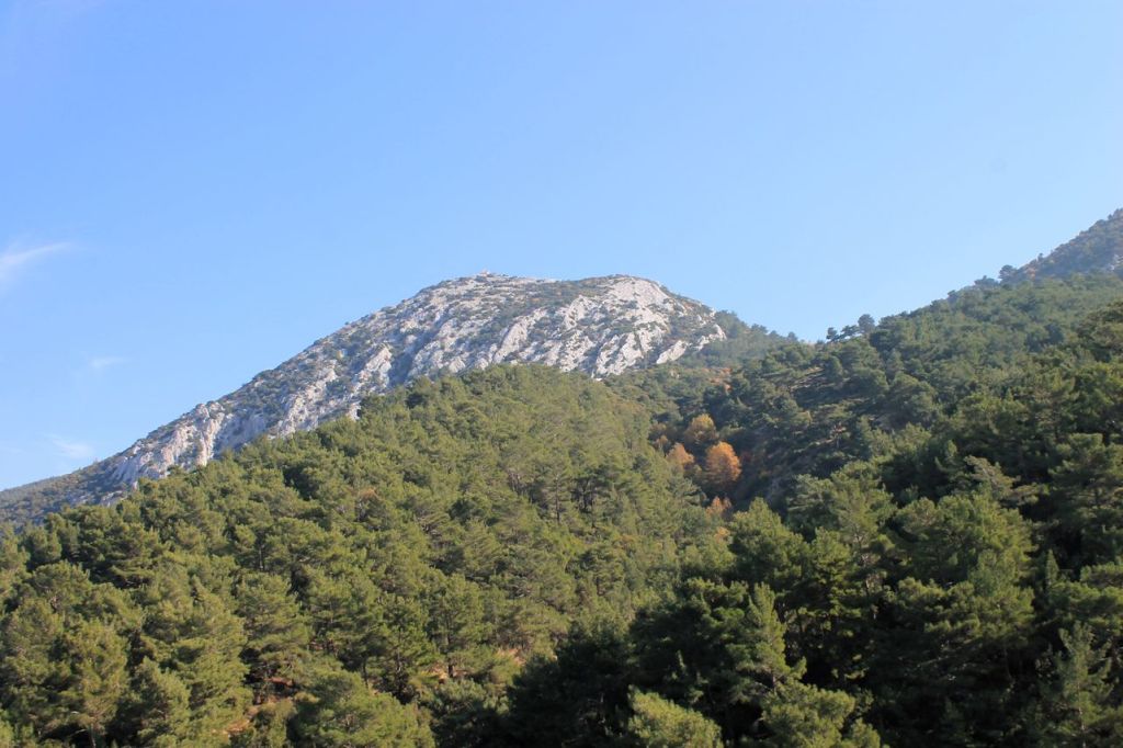
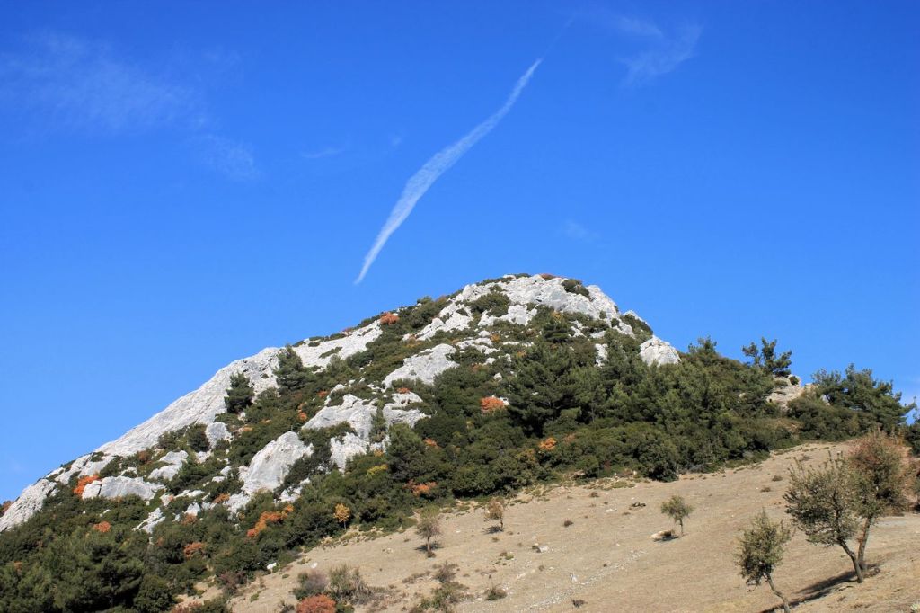
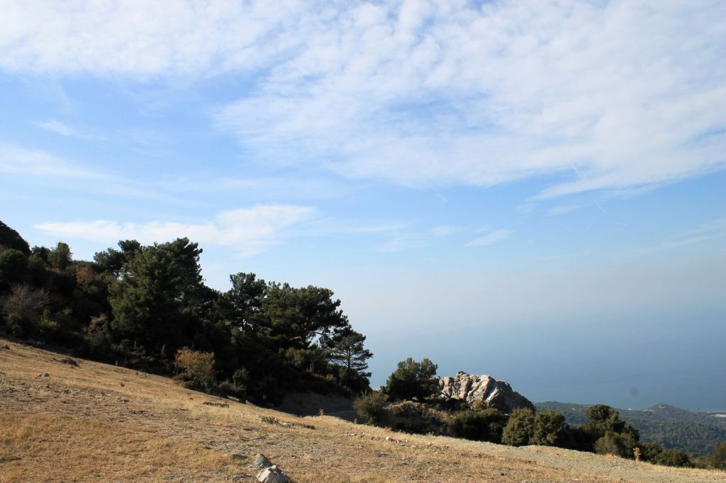
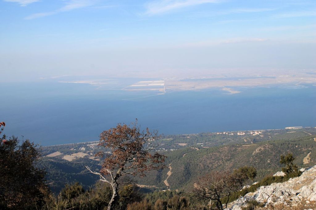
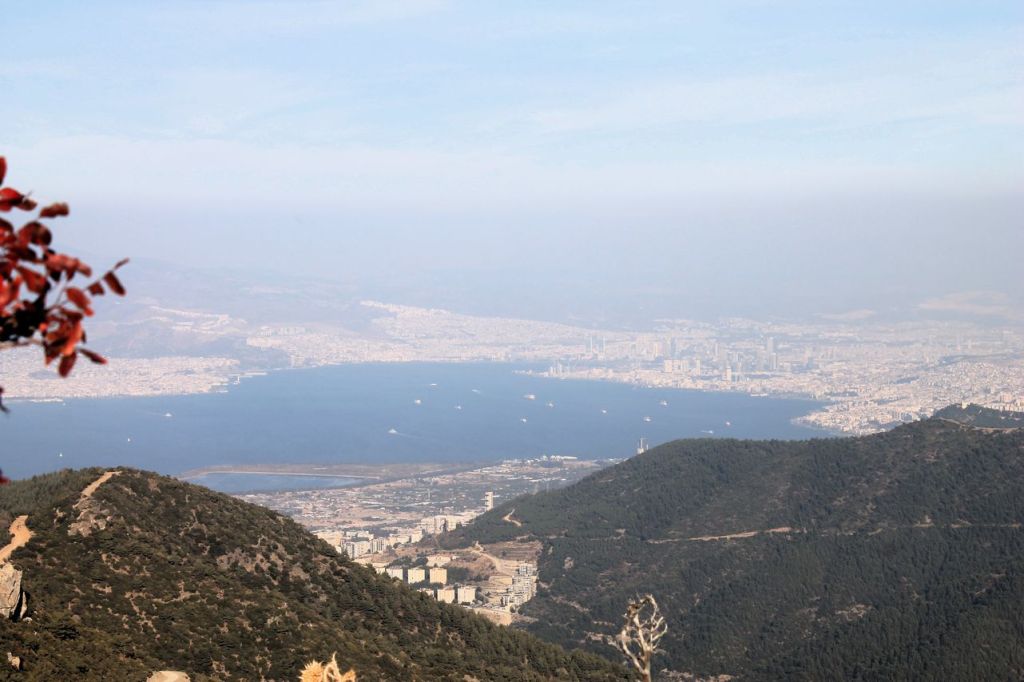
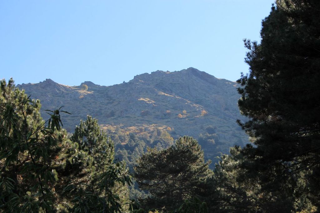
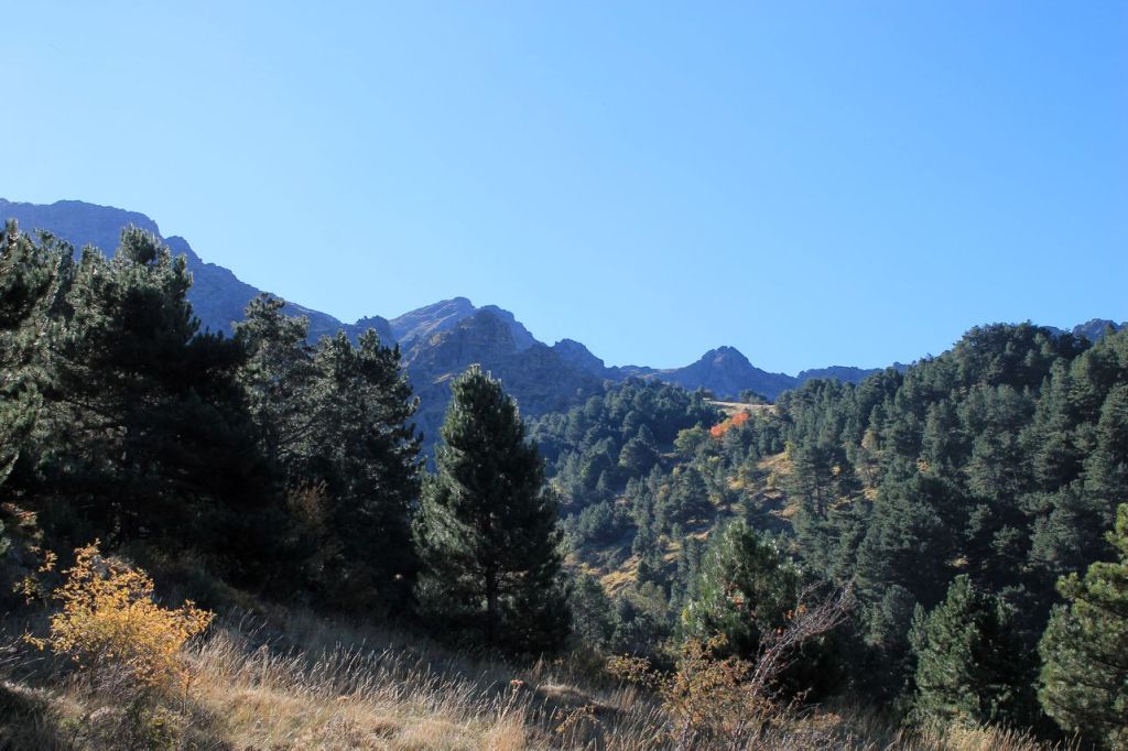
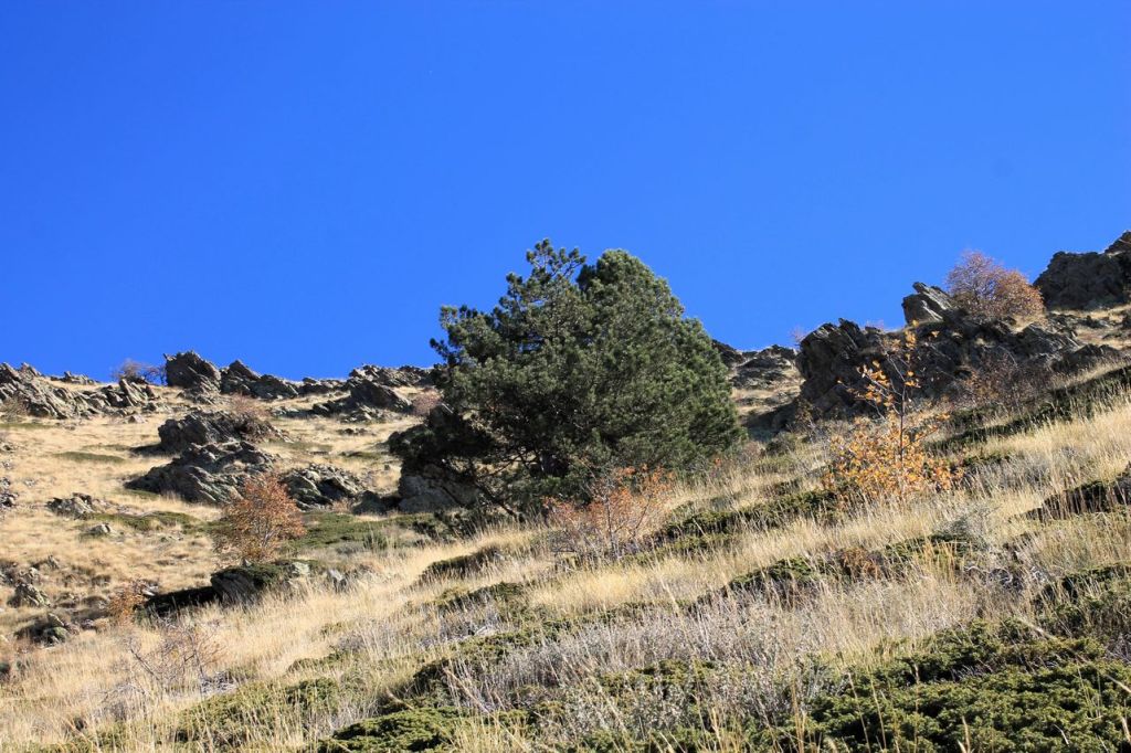
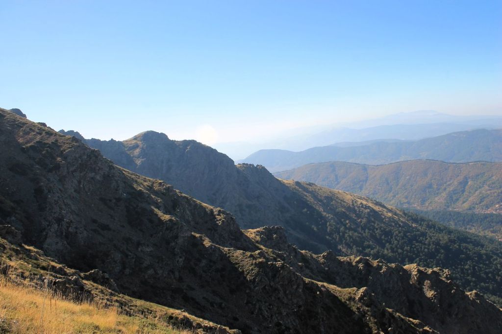
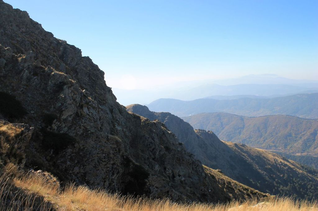
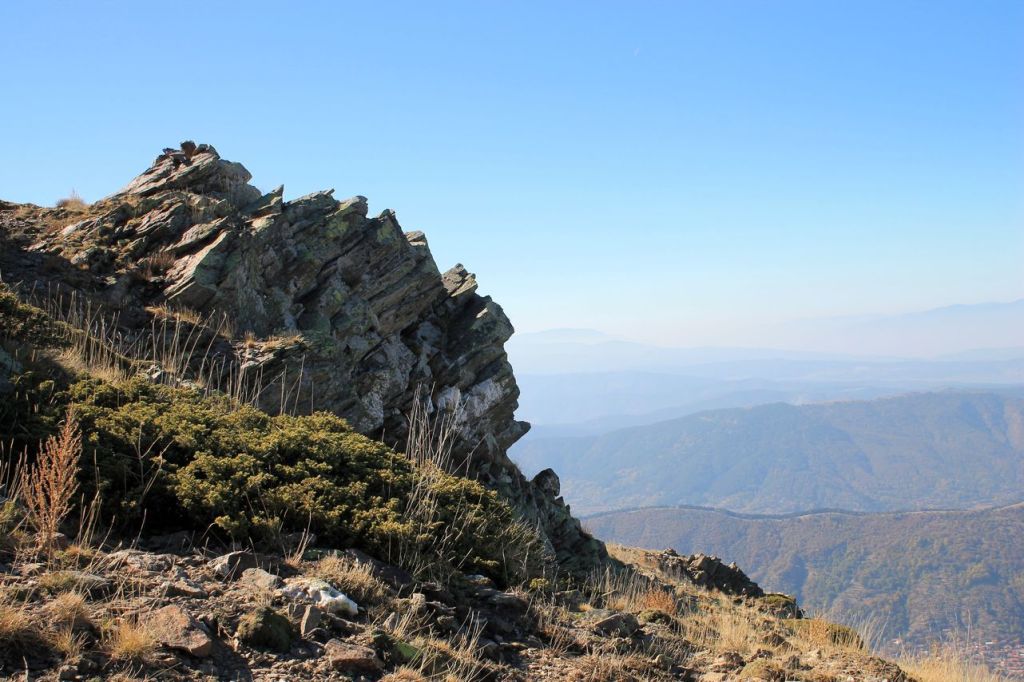
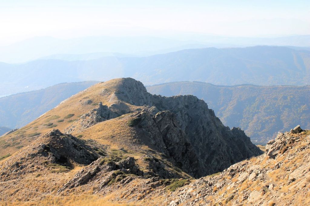
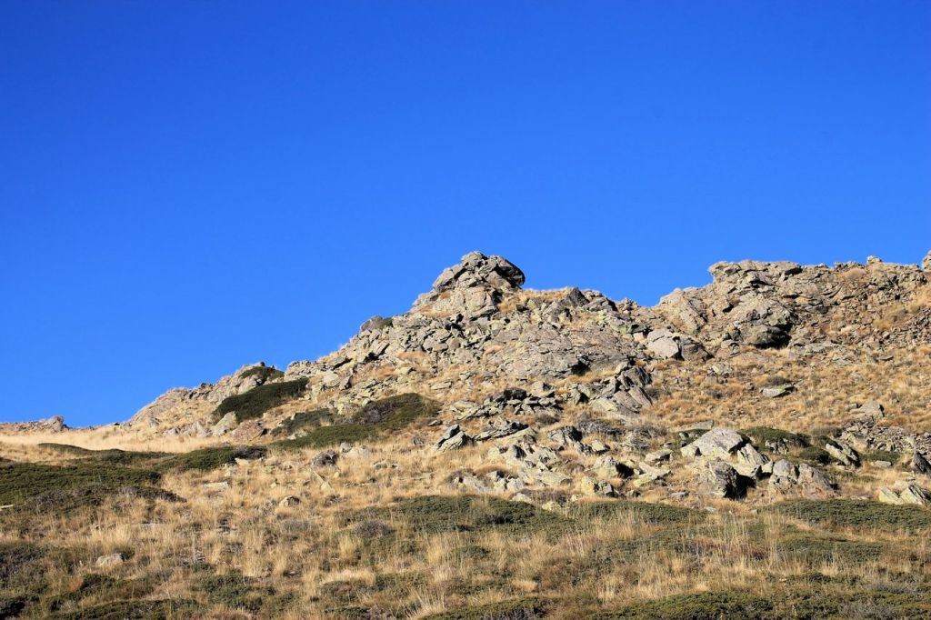
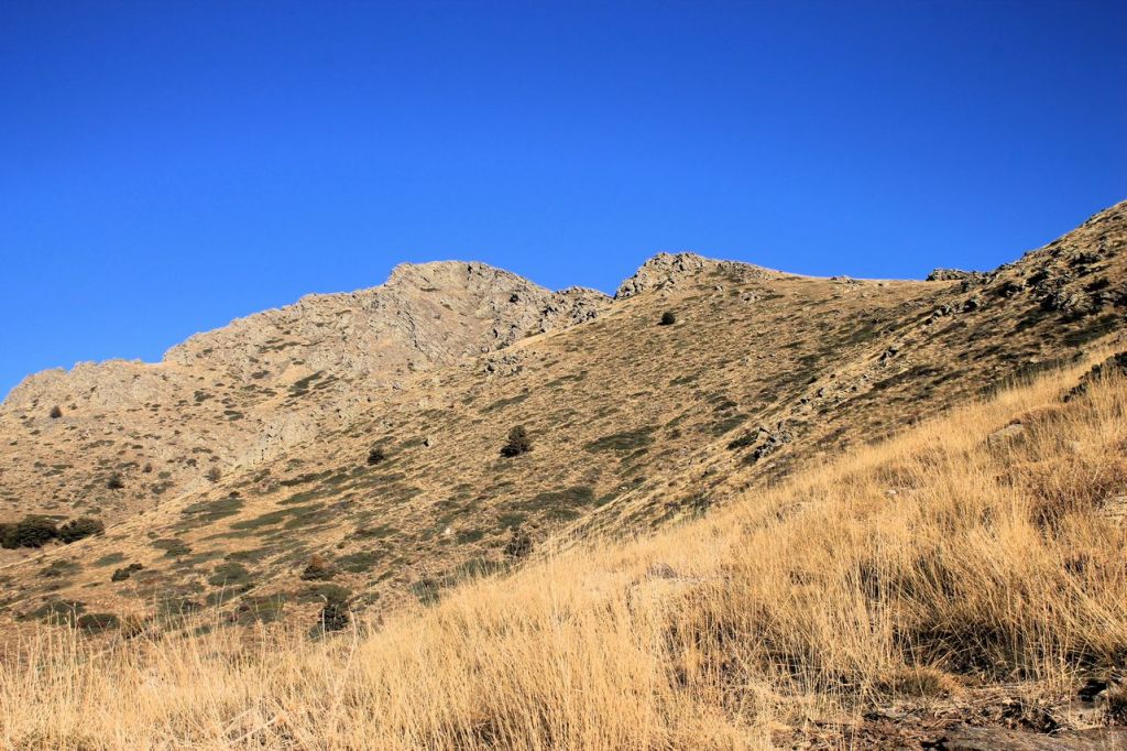
Turkiye. Liman Reis – Çatalkaya – Liman Reis.
Chatalkaya in Turkish means “forked rock”. I visited this mountain in November when the weather was beautiful. I offered my friend to repeat the hike. The forecast was convenient – the rain in the evening only. But we forget wise local proverb: “Don’t believe Izmir’s girls and Izmir’s weather”. Closer to the mountain we met strong wind and heavy rainfall with a hail. But we decided to reach the top. Crazy people)) On the top real storm with thunder and lightnings began. We made shorts and sprinted down the hill. Thanks god we survived! The total distance was about 15 km and the elevation gain was 1149m. wikiloc

-
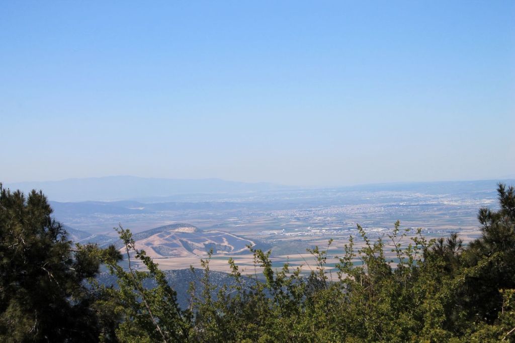
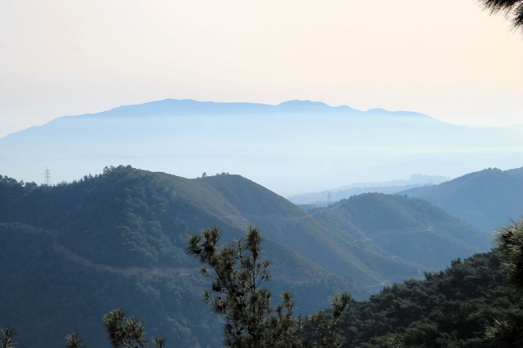
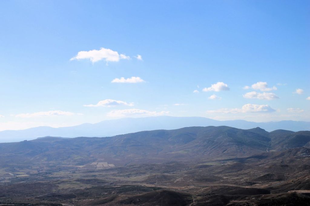
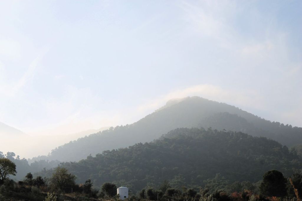
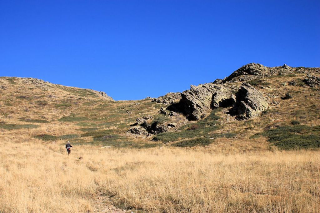
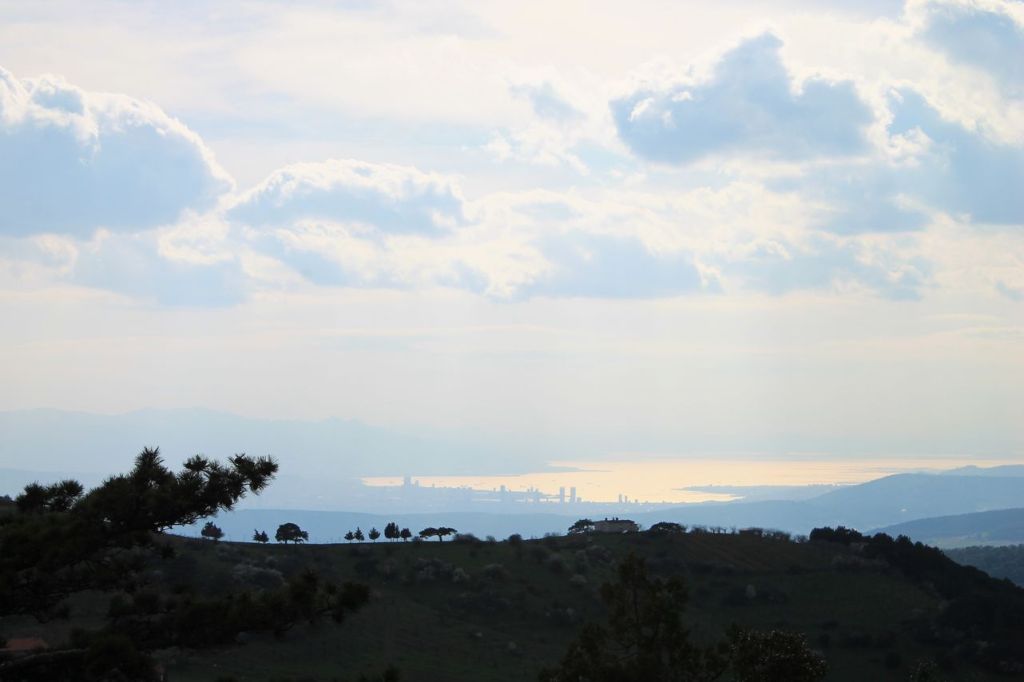
Turkiye. Balchova hills.
I got some hikes in March alone in Balchova hills. They are comfortable because you can reach the starting point by metro! So I did it every Sunday.
Balchova dam about 15km wikiloc
Behzattepe(~700m) – Manastır about 19km wikiloc
Korutürk – Karabelen(~1000m) about 25km wikiloc
Manastir about 21km wikiloc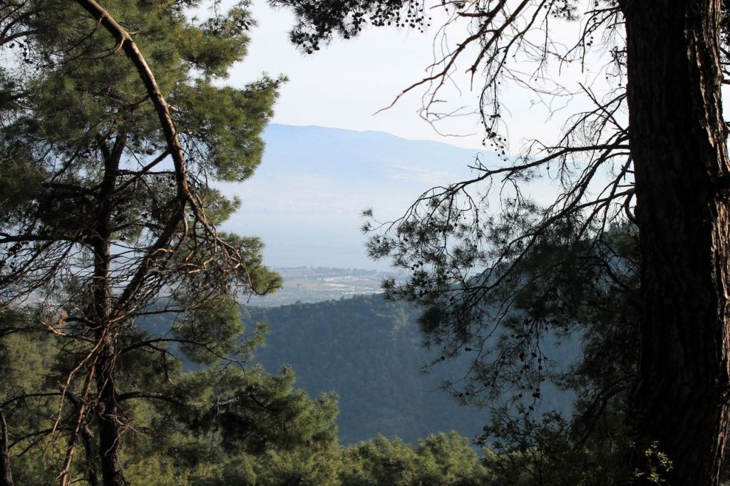

-
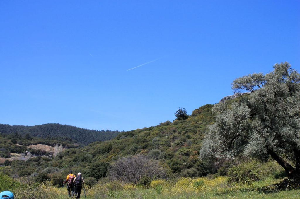
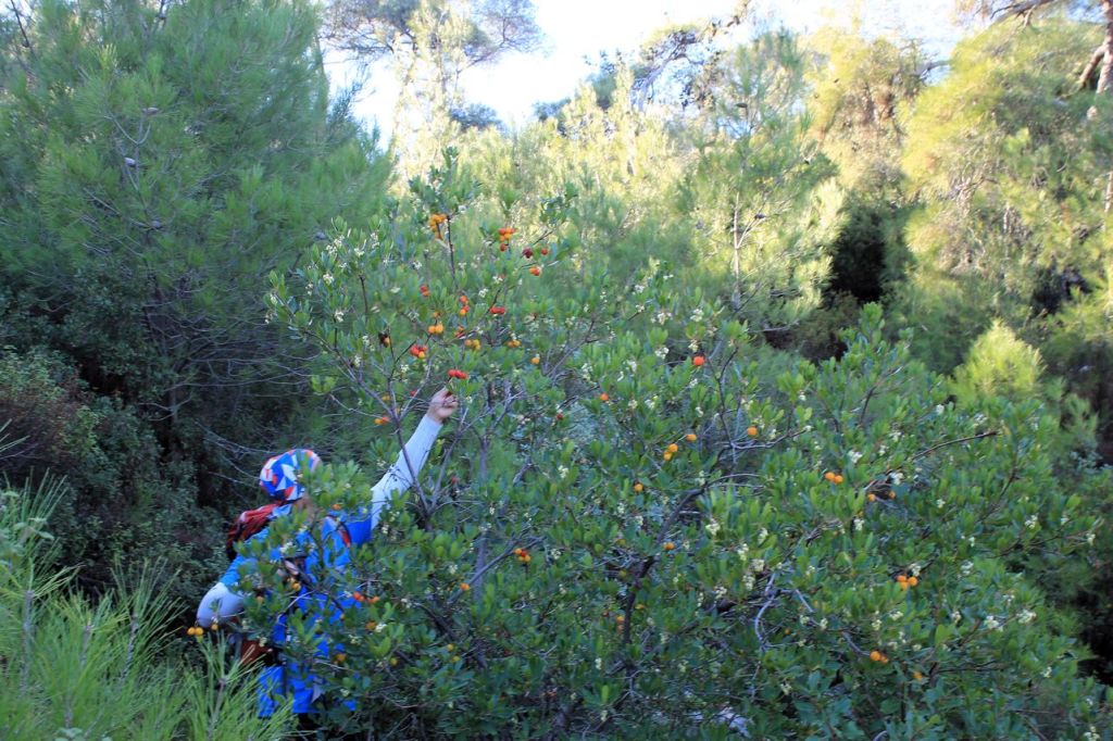
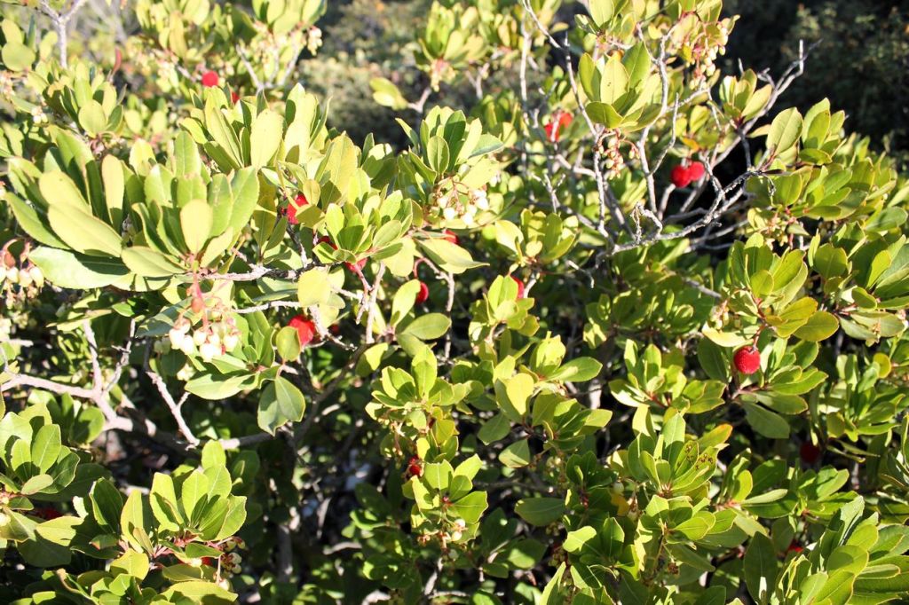
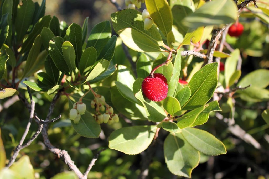
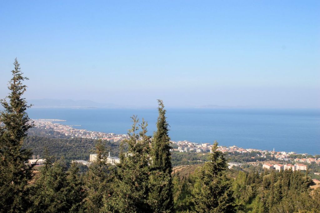
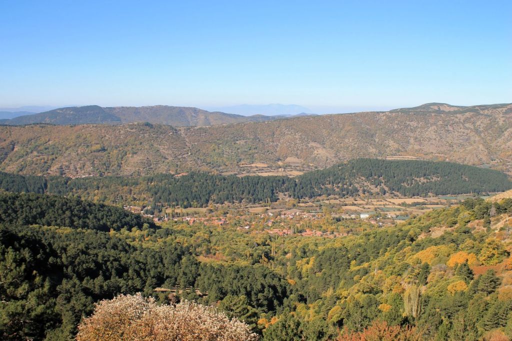
Turkiye. Yenikoy – Yeni Focha. Strawberry trip.
Have you ever seen strawberry on the trees? This tasty berry exists! There are a lot of trees in the mountains with ripe berries and it’s impossible to pass by 😜 It was a light hike with idadik club. Before the lunch we went by forest roads to the top of the small mountain. After the lunch our guide set up an interesting path for mountain descent. The total distance was about 15 km and the elevation gain was 490m. wikiloc


-

Turkiye. Kavaklidere – Nazarkoy.
It was a hike with idadik club again. The weather was partly rainy, mostly cloudy. We were near Nif mt. but our guide didn’t lead us to the mountain. The plan was to move from one village to another. Stones are wet and the path was challenging sometimes. The total distance was about 22 km and the elevation gain was 998m. wikiloc


-
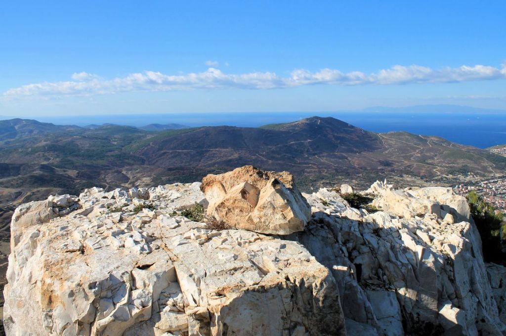
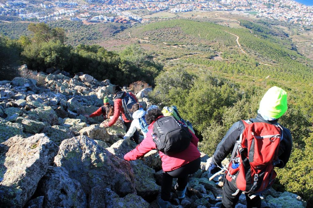
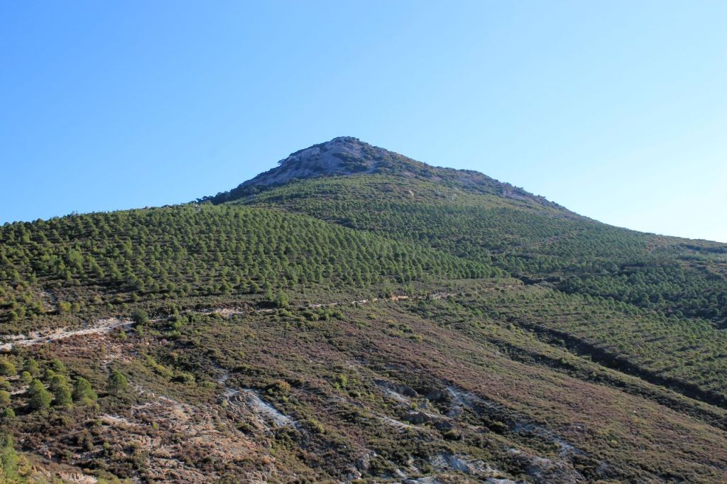
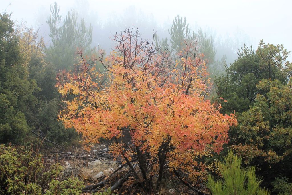
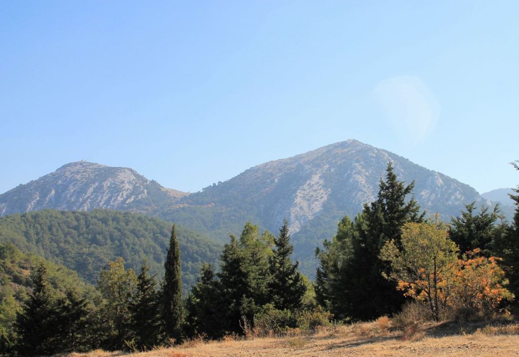
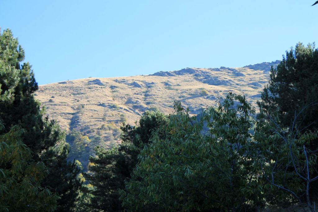
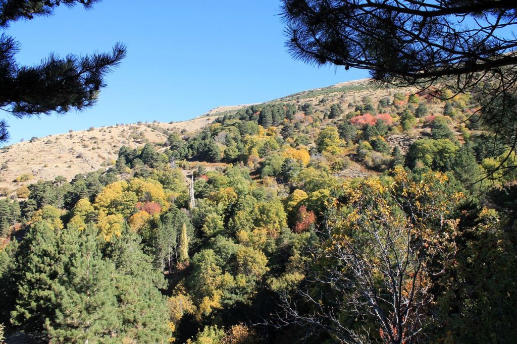
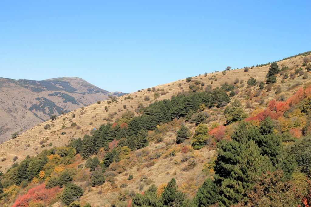
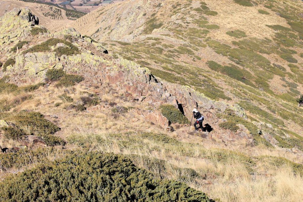
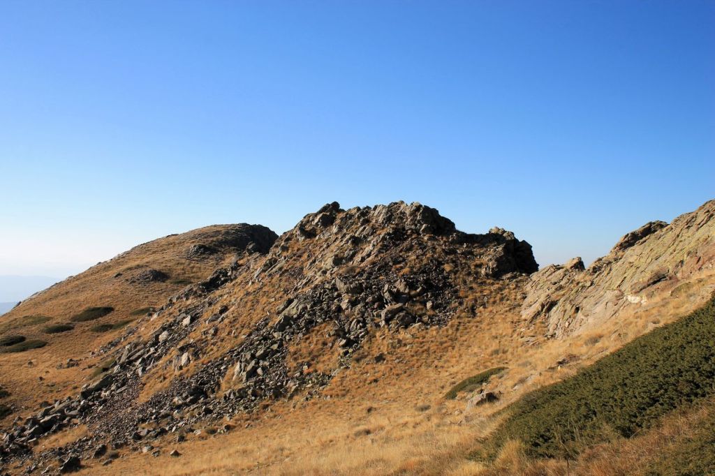
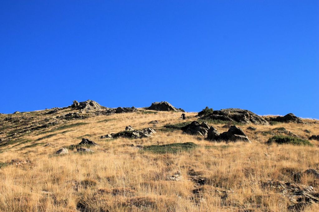
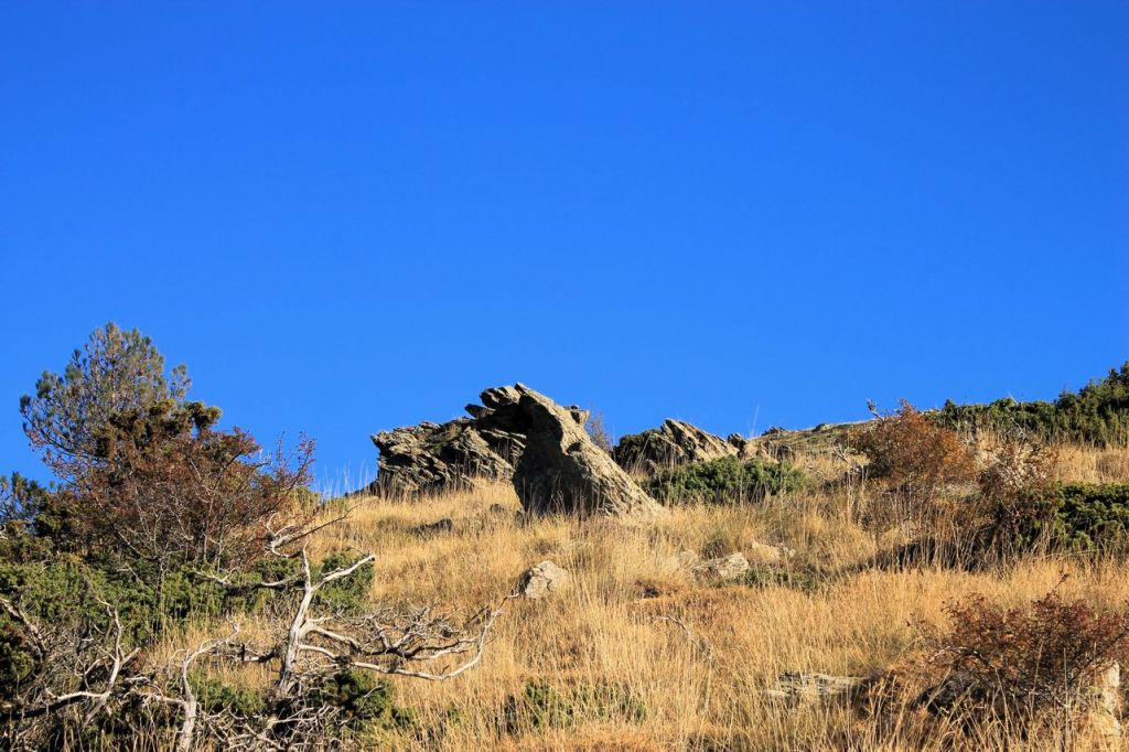
Turkiye. Mahmut mt. (1373m)
It was a hike with idadik club. Our guide wasn’t young, but his speed was very high. Thanks god most of the members were prepared because guide led us by goat tracks 😜There is golden autumn in the mountains. The trees are in different colours. Very vivid. The total distance was about 12 km and the elevation gain was 1114m. wikiloc
Mahmut mt. 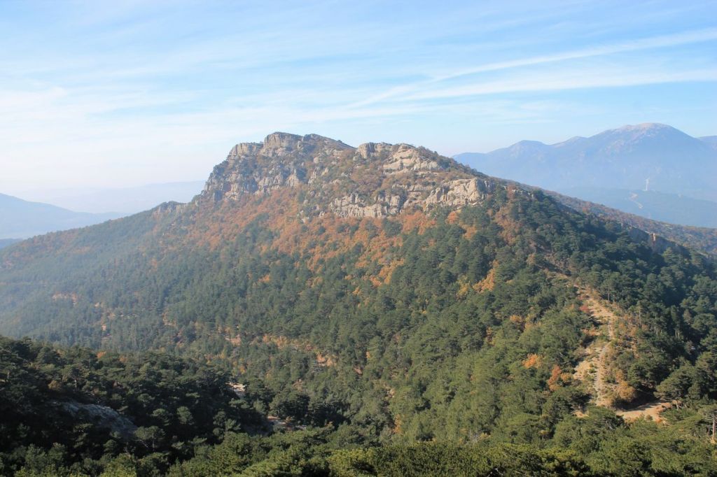
Mahmut mt. 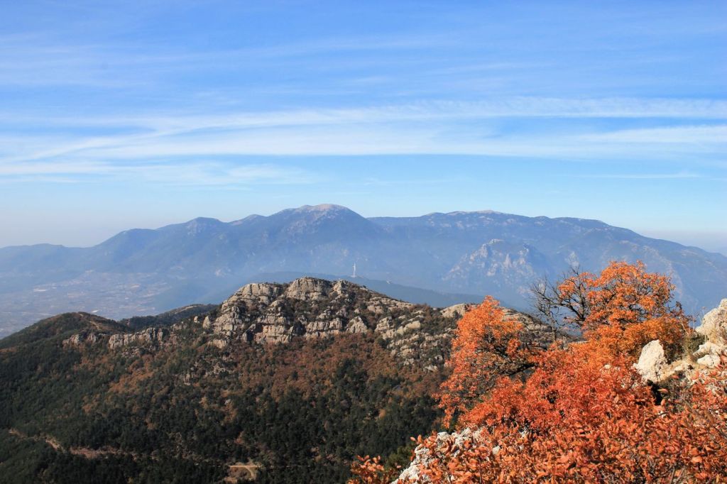


Mahmut mt. 
-
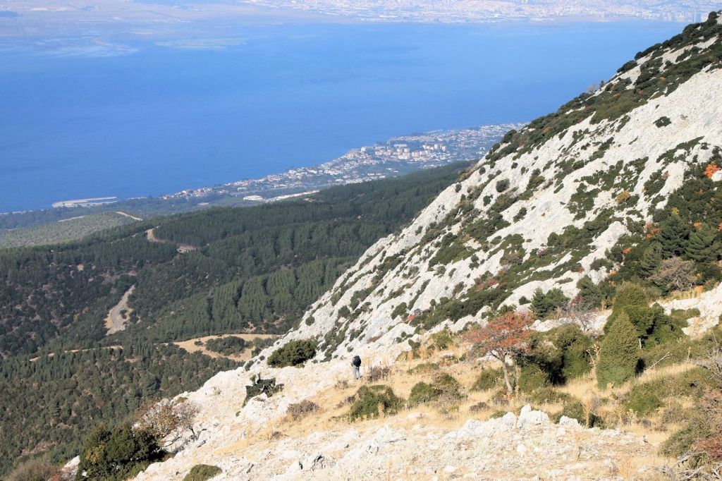
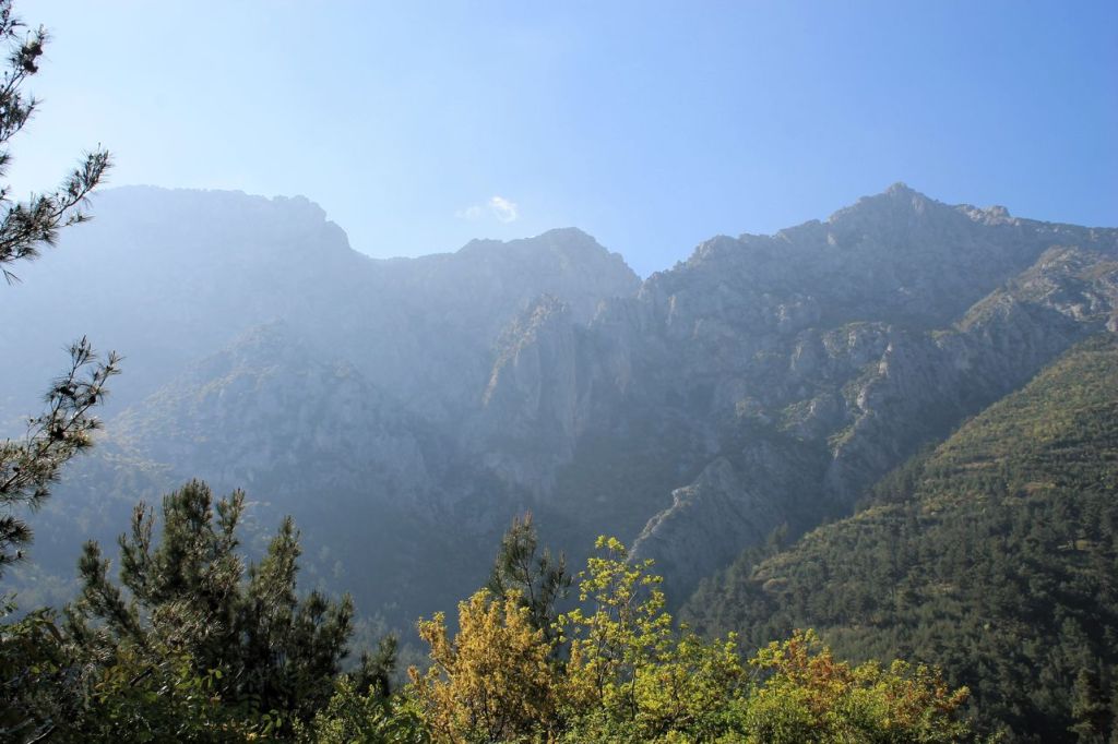
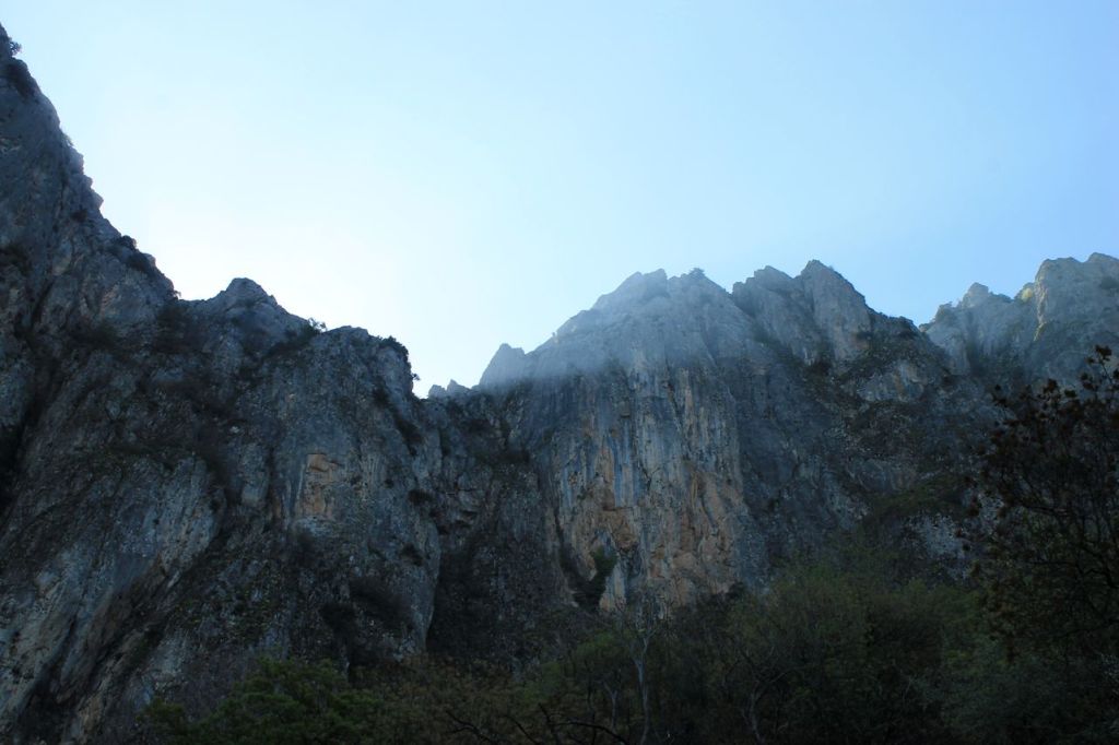
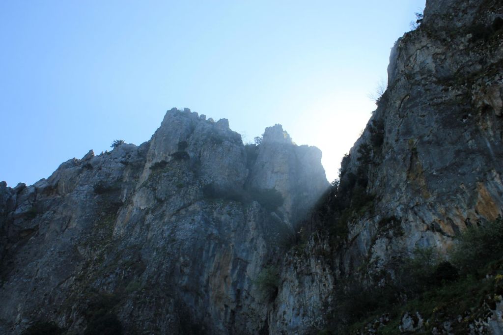
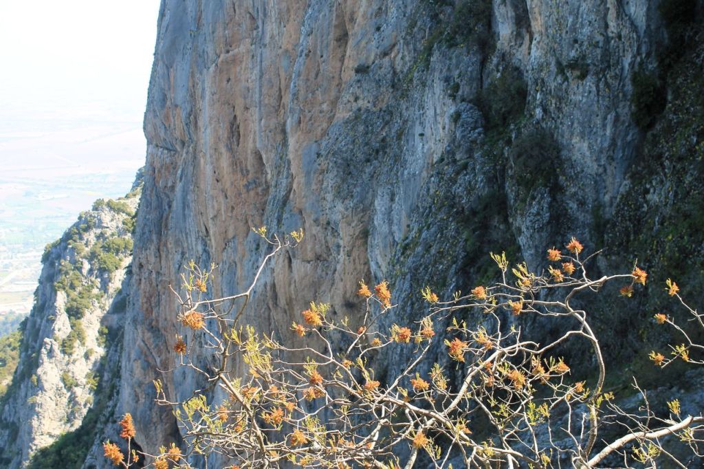
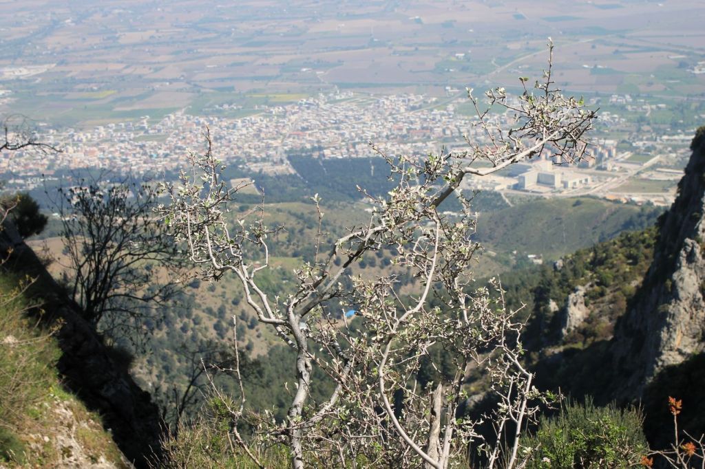
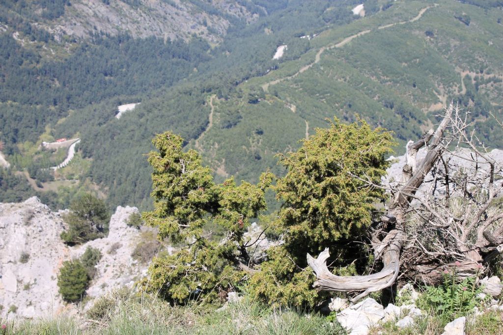
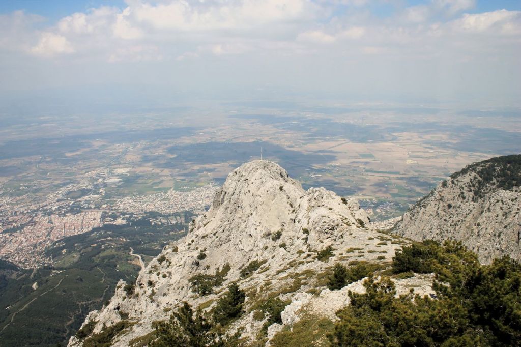
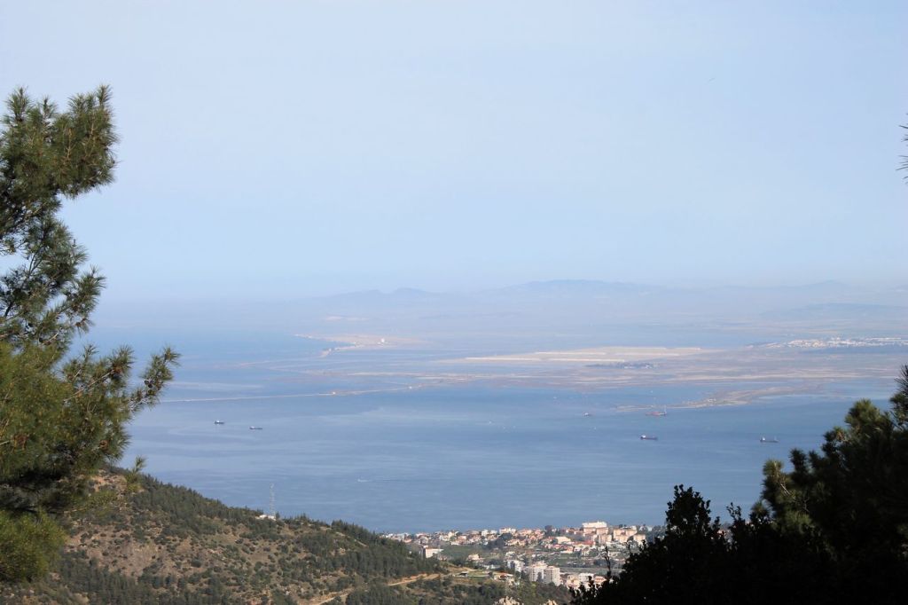
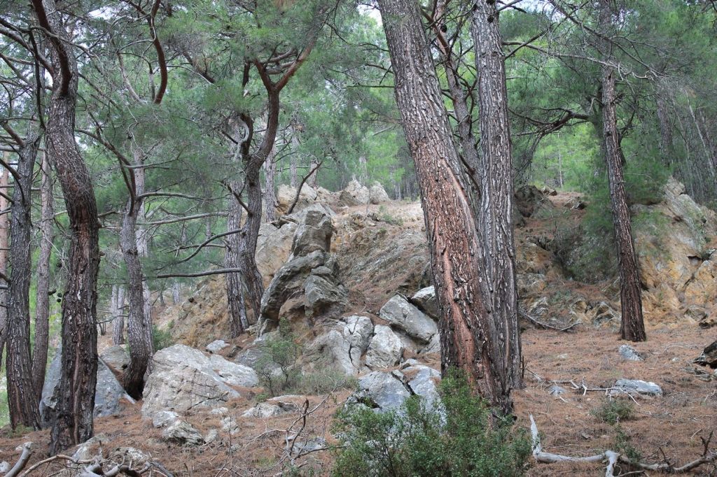
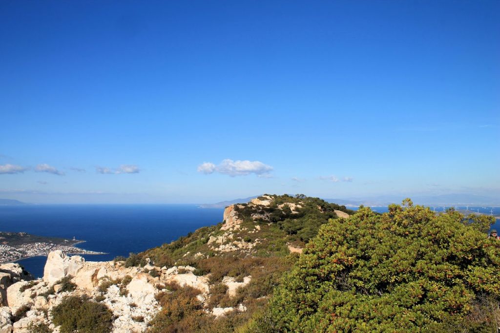
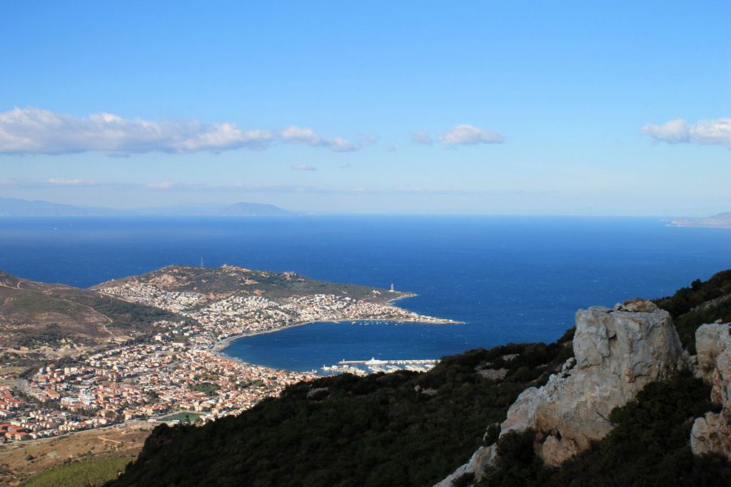
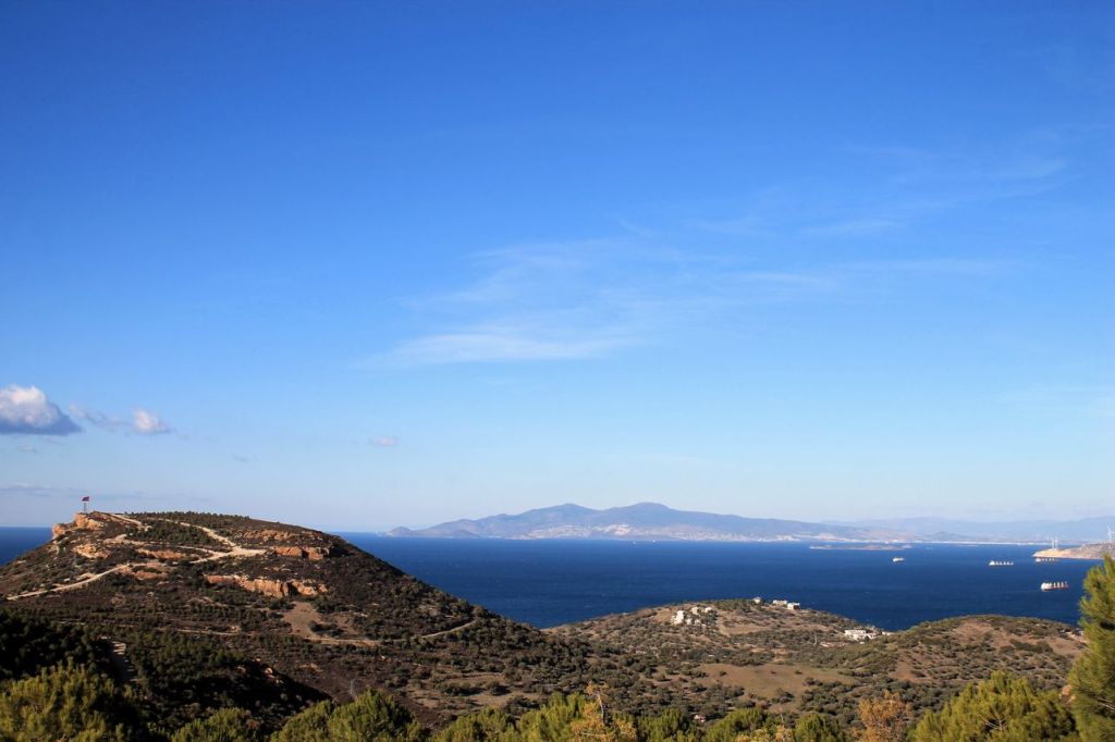
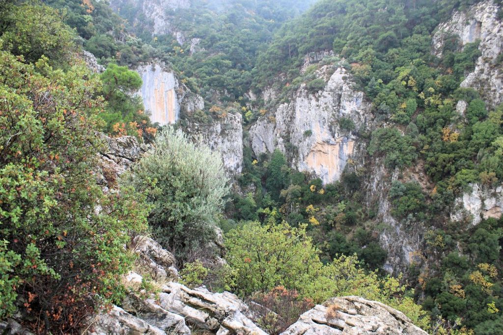
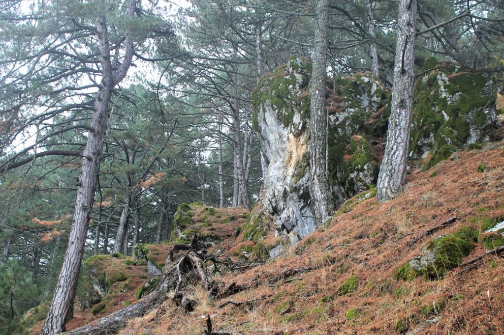
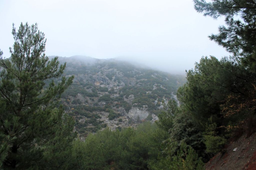
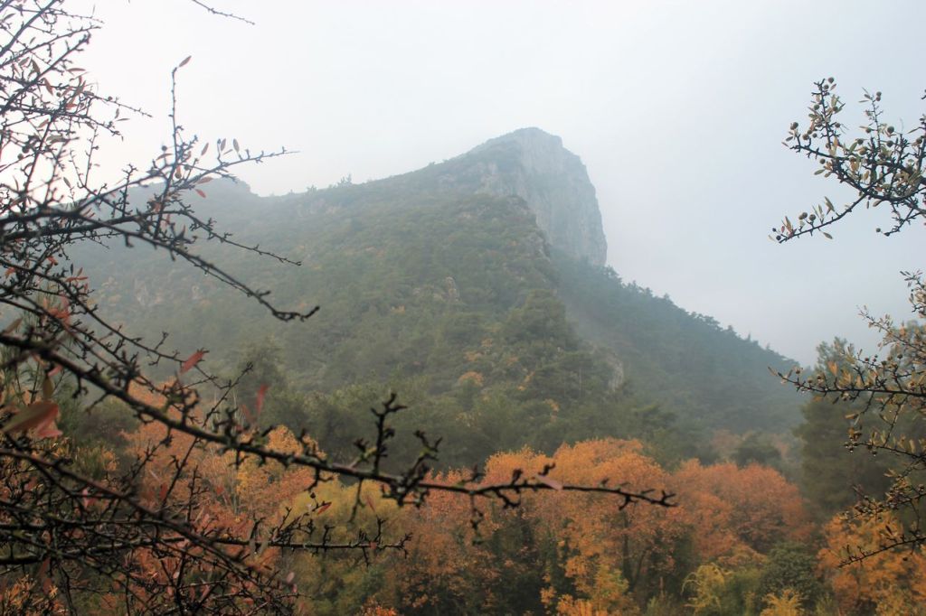
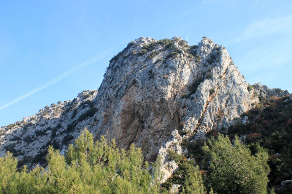
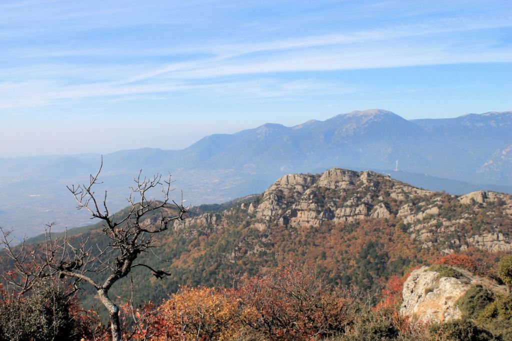
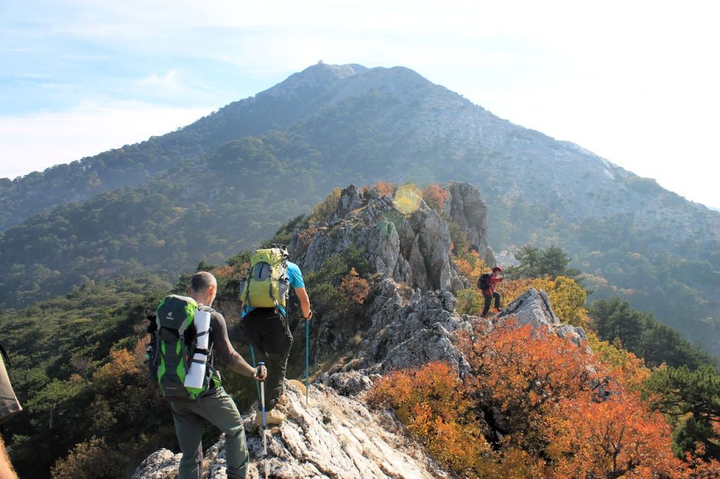
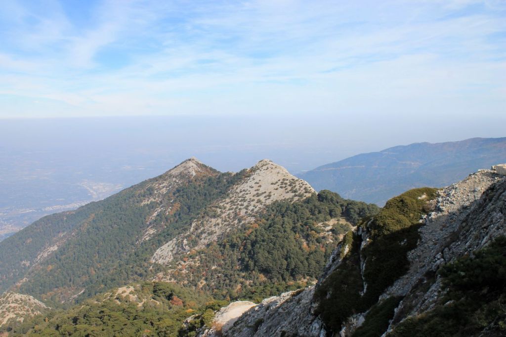
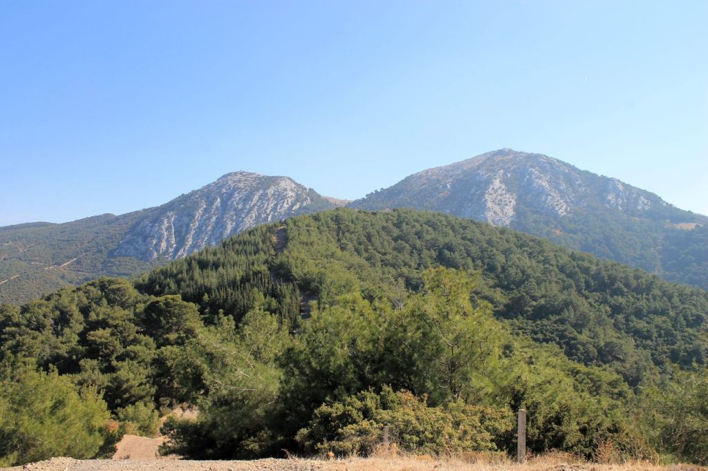
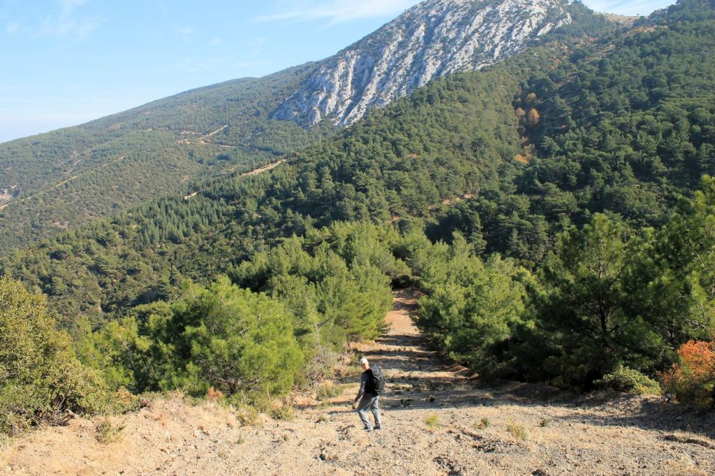
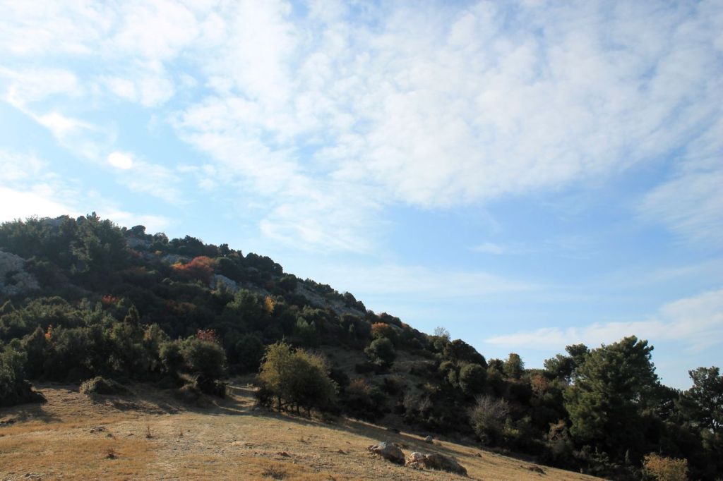
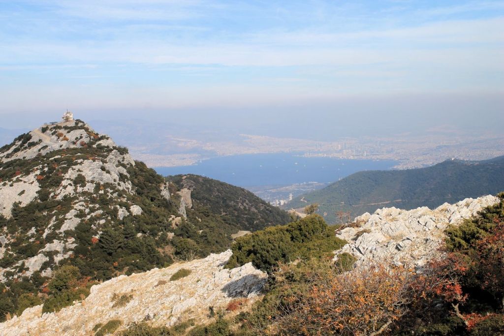
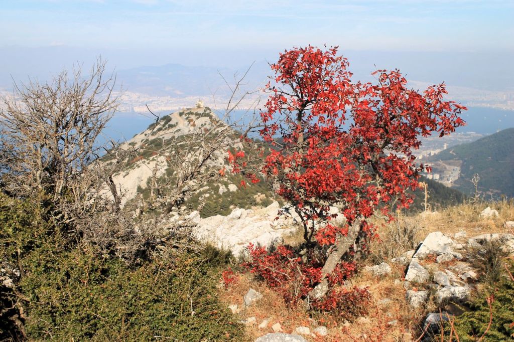
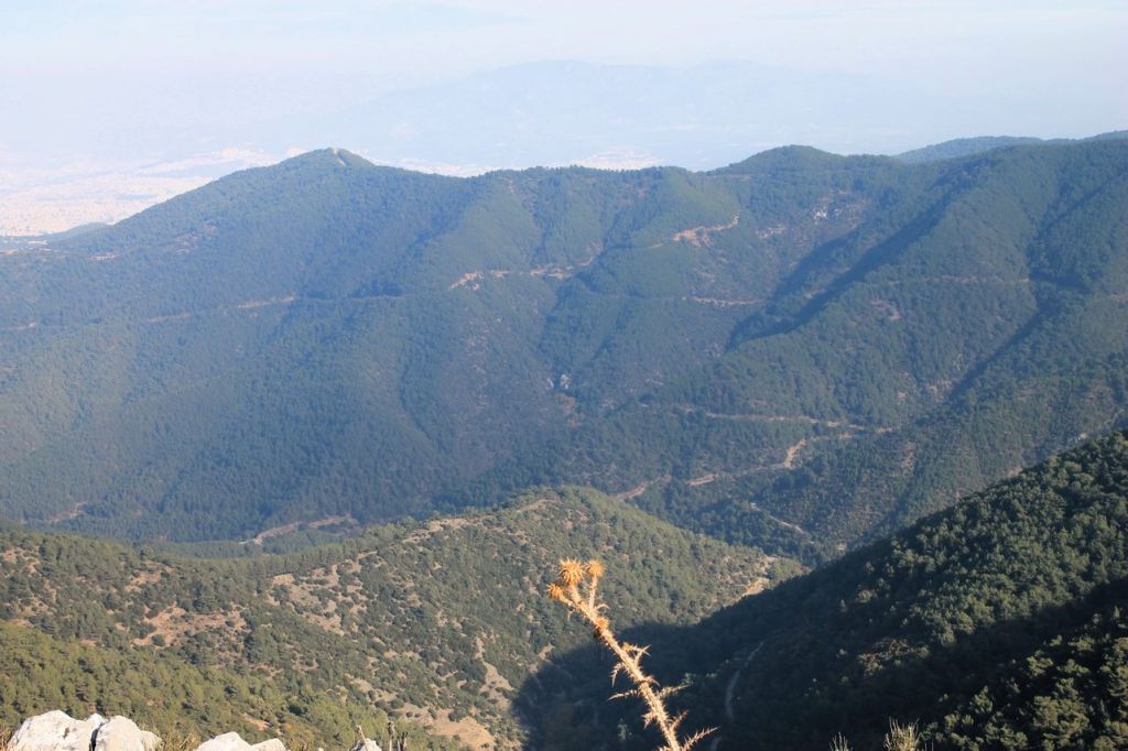
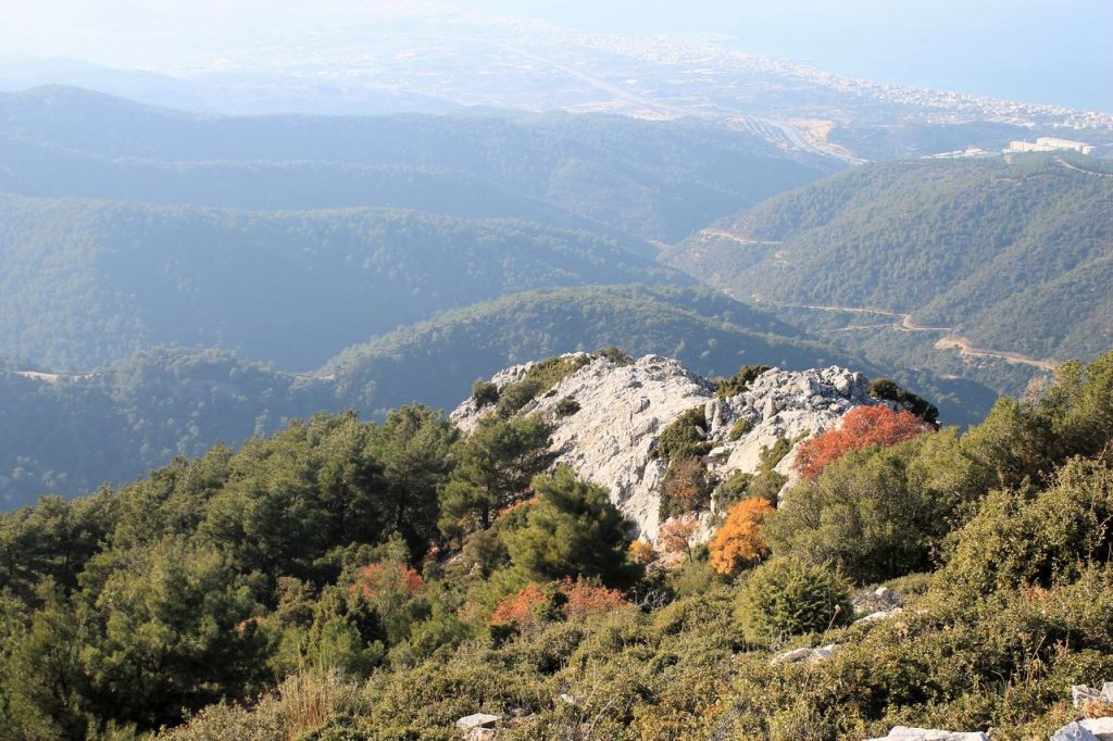
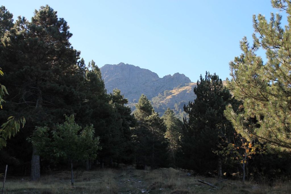
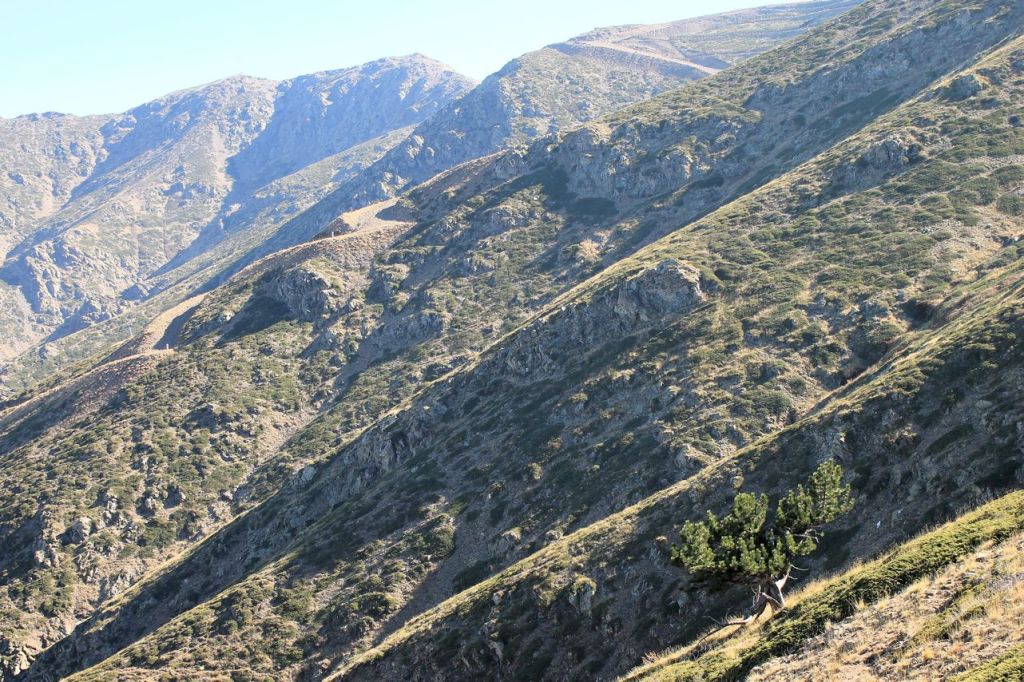
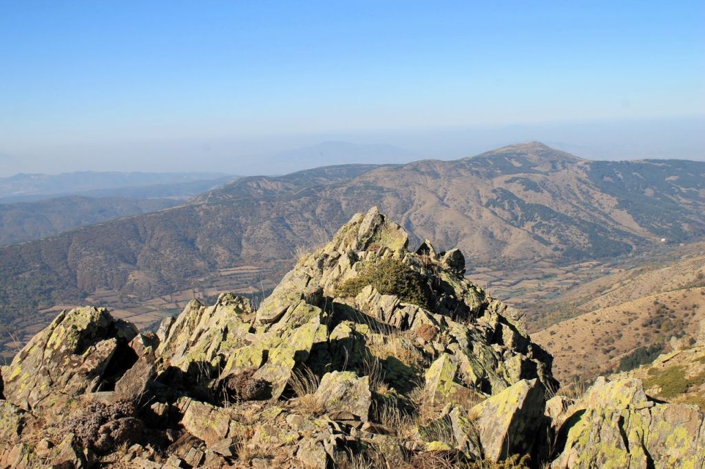
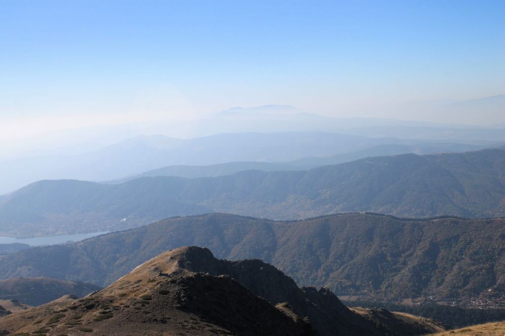
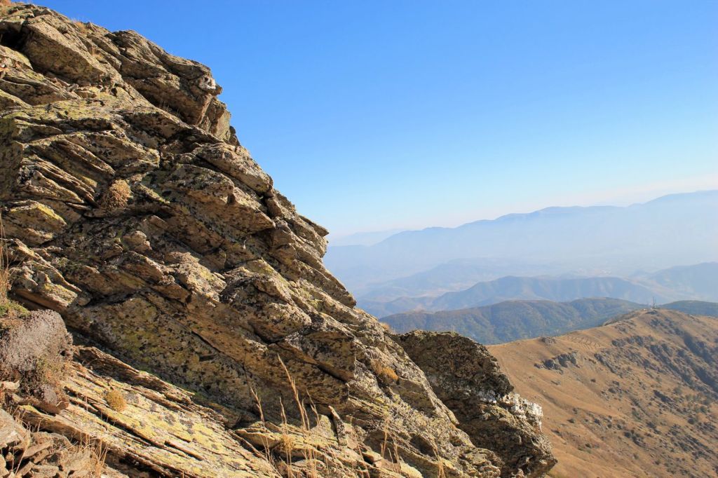
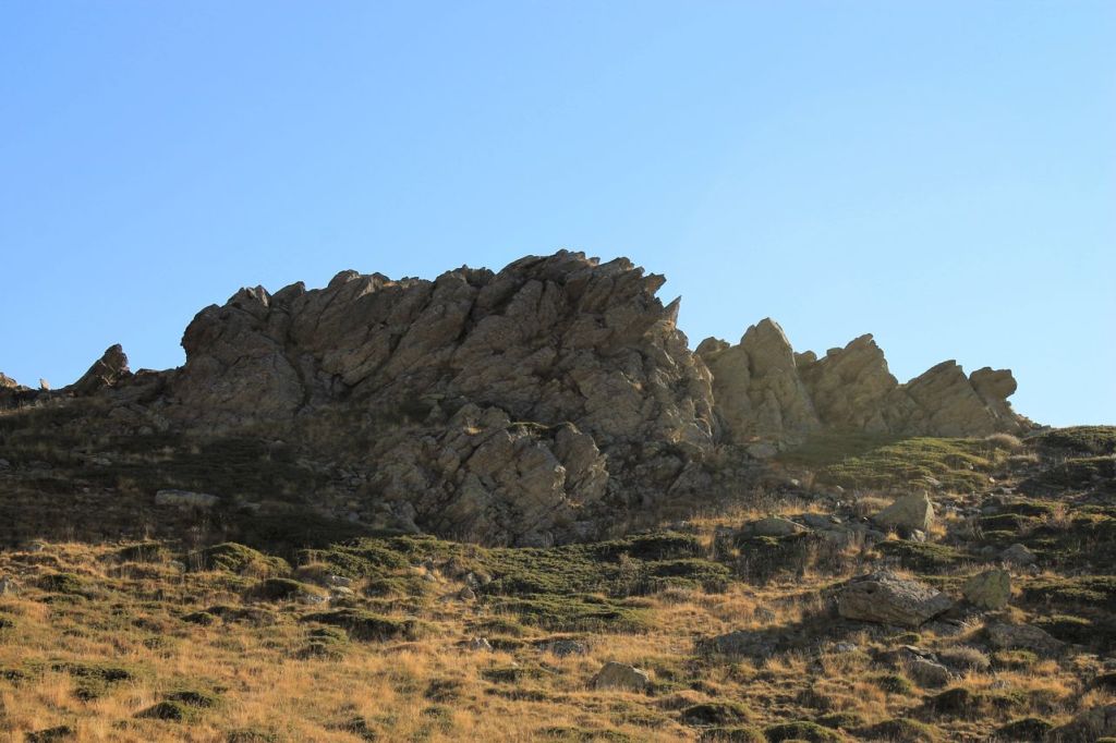
Turkiye. Liman Reis – Çatalkaya – Narlıdere.
Chatalkaya in Turkish means “forked rock”. Chatalkaya Mt. has two summits connected with a pass. The company of soulmates decided to visit this interesting mountain. The weather was beautiful. The start point is close to the Izmir and could be reached with a bus. The conditions are ideal. We went without rushing and enjoyed views. After several hours we reached the summit and got a lunch. The way back was via village road. We returned to the city in the twilight. The total distance was about 18 km (wikiloc told about 30km!!!) and the elevation gain was 1025m. wikiloc
Chatalkaya 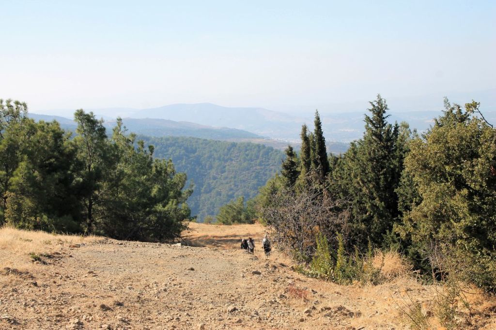


-
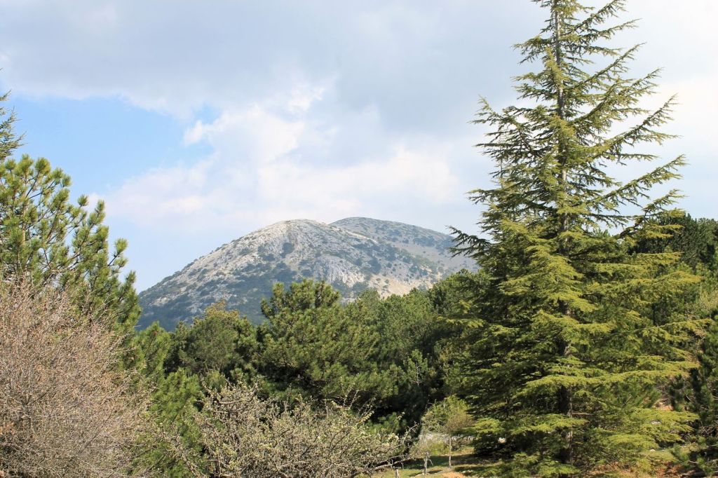
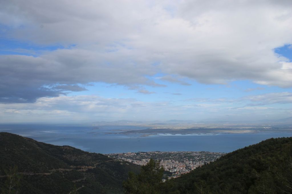
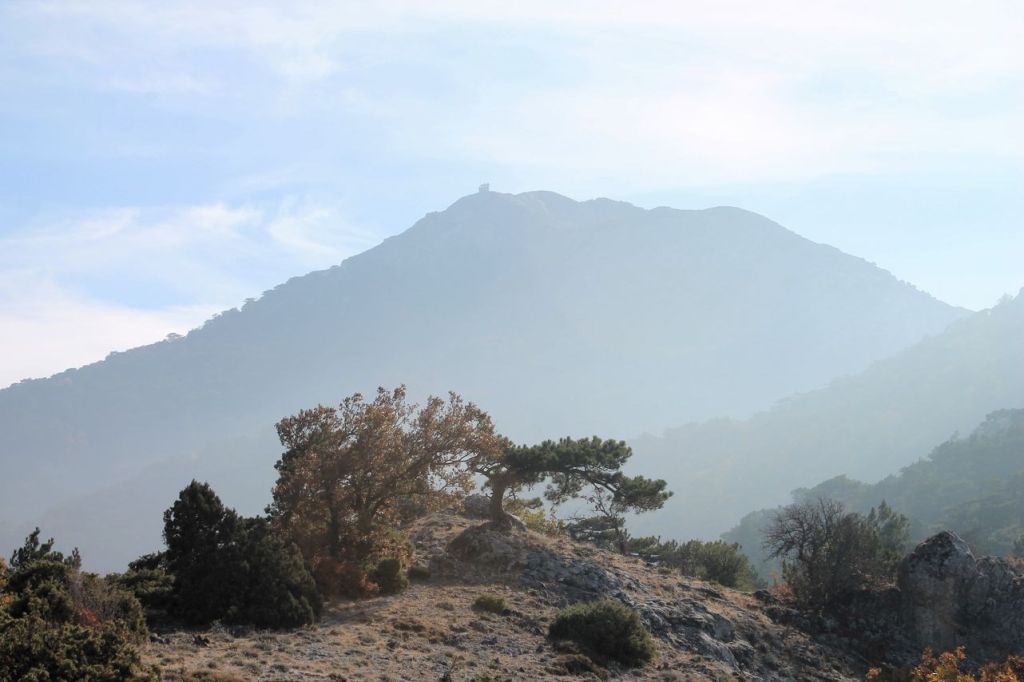
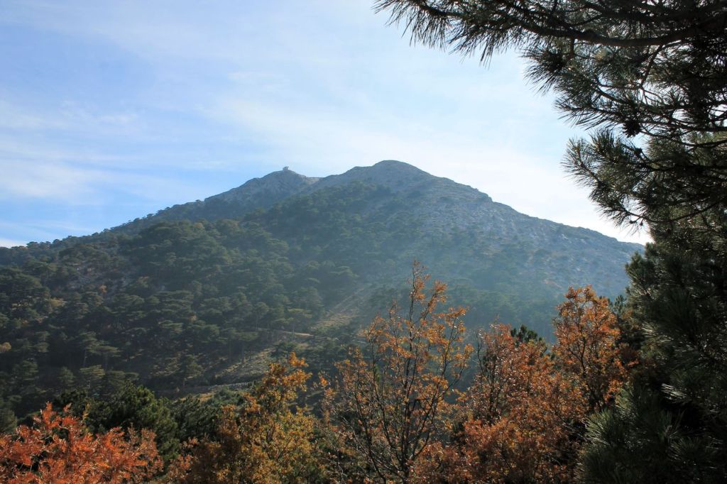
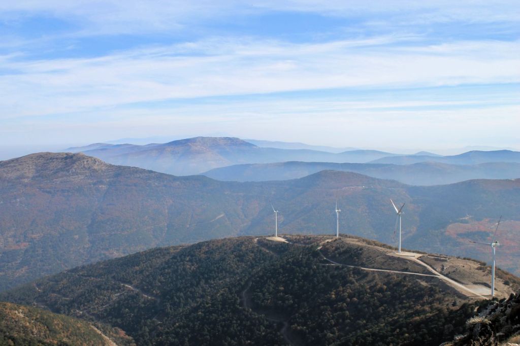
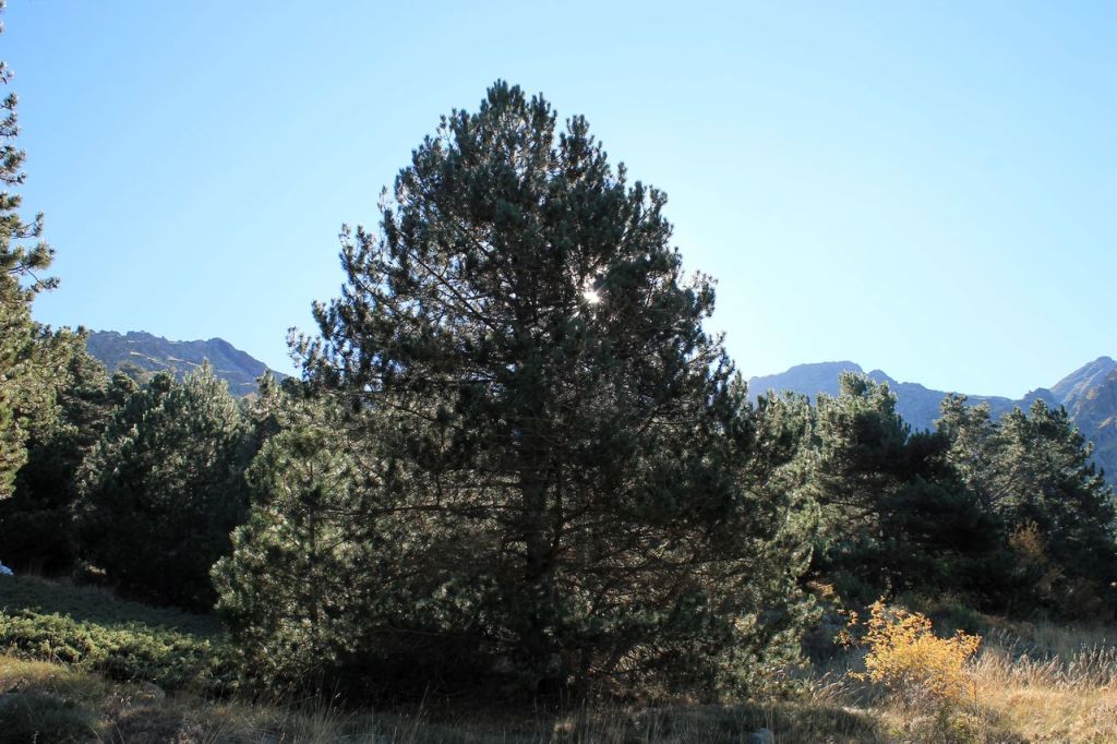
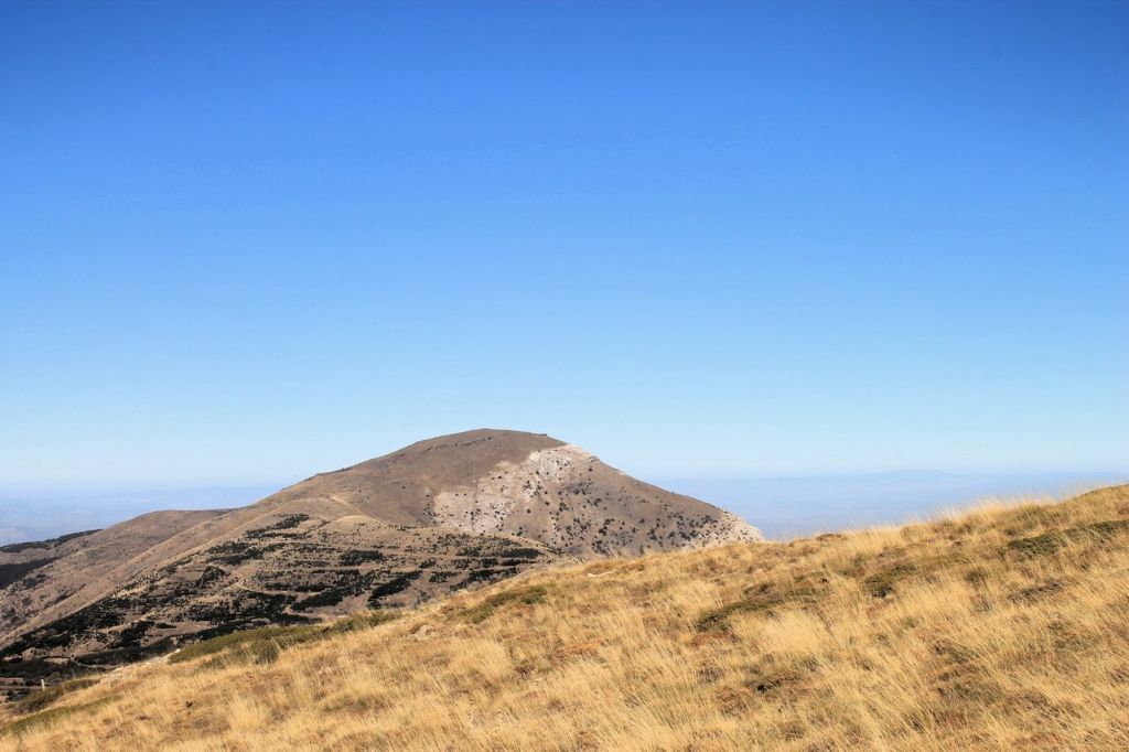
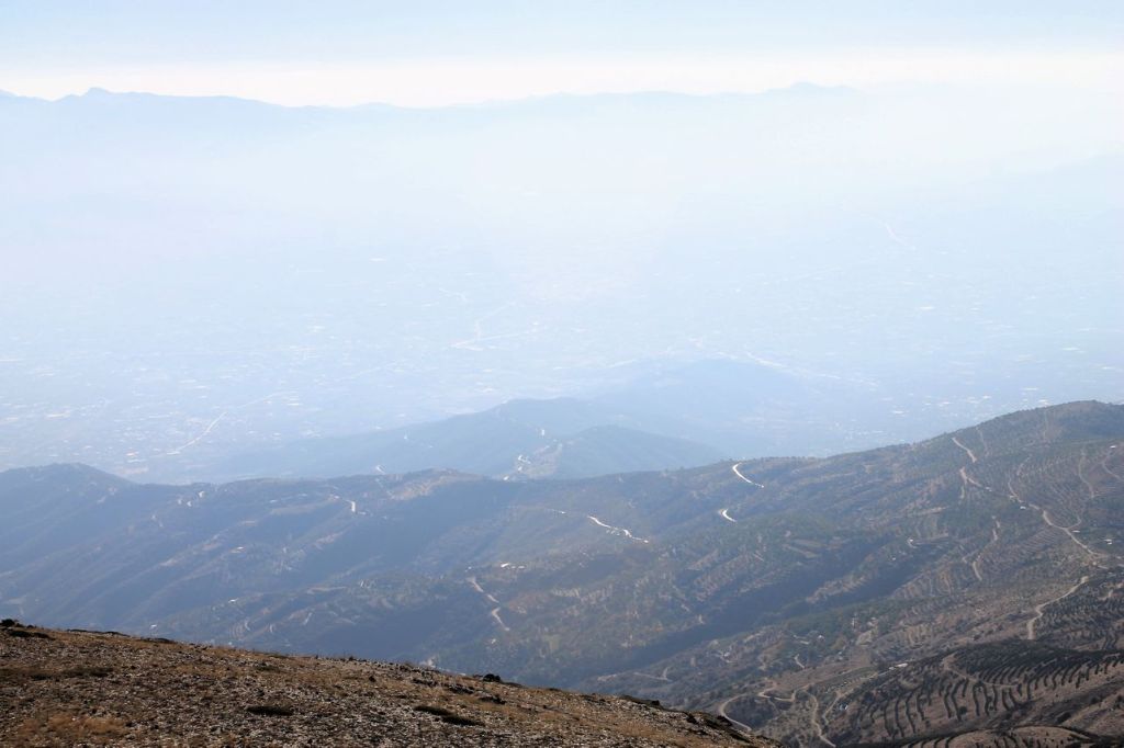
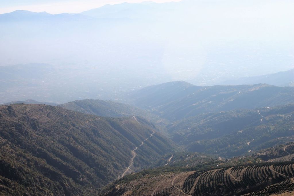
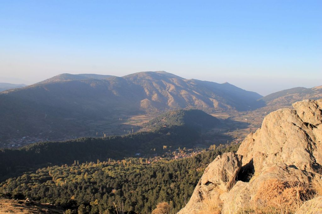
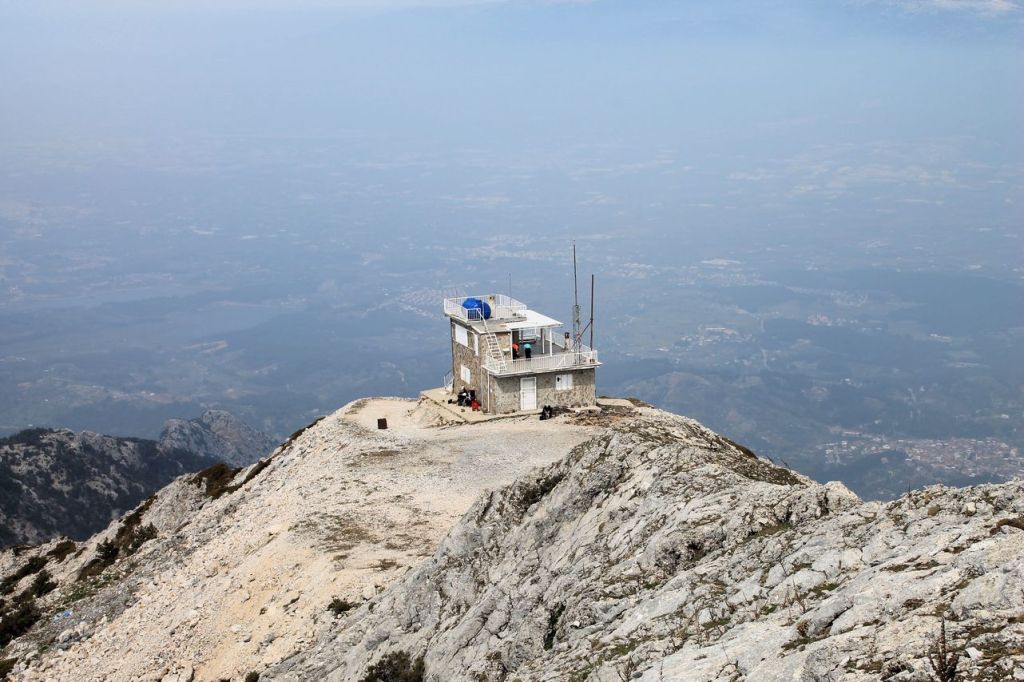
Turkiye. Bozdağ (2159m).
Once I was tired from boring tracks from clubs. I offered to my friend to organise a trip by ourselves. A trip which won’t be offered by a club because “it’s too difficult” for simple hikers without license. We offered a trip to other friends, but all was busy. A usual $-). Our aim is about 120km from Izmir. We rented a car and reached Bozdağ village. We download a track from wikiloc but decided to follow in the opposite direction. The track offered the way up via good pathway and way down – without pathway (through a bush). And we were right! The way up was hard enough because of bush and steep angle. My friend was with a dog. Sometimes the dog couldn’t go, and my friend carried the dog on the hands. Anyway, we managed and reached the summit. Views are perfect. The forest coloured by the autumn colours. Far mountains were covered by a fog. Beautiful pictures! The way down was lighter via beaten path. The total distance was about 12,5 km and the elevation gain was 941m. wikiloc
Search
Latest Stories
Quote of the day
“The world is a book and those who do not travel read only one page.”
– St. Augustine
