-

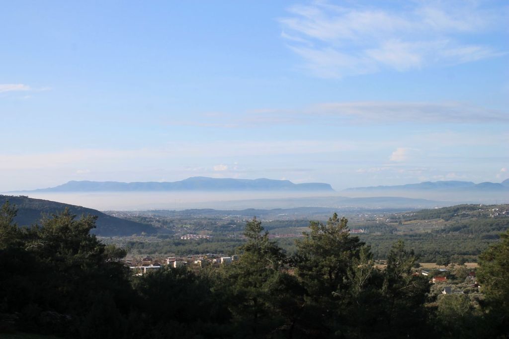
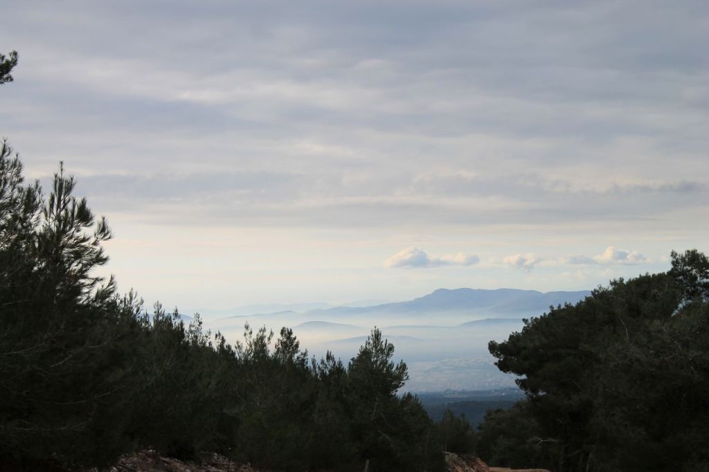
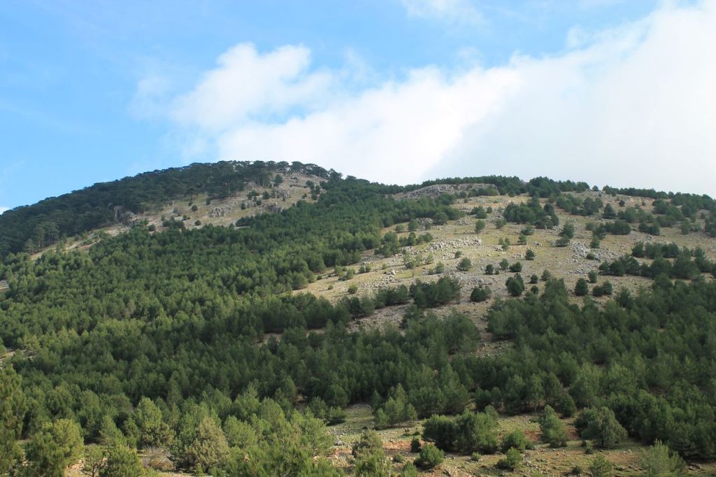
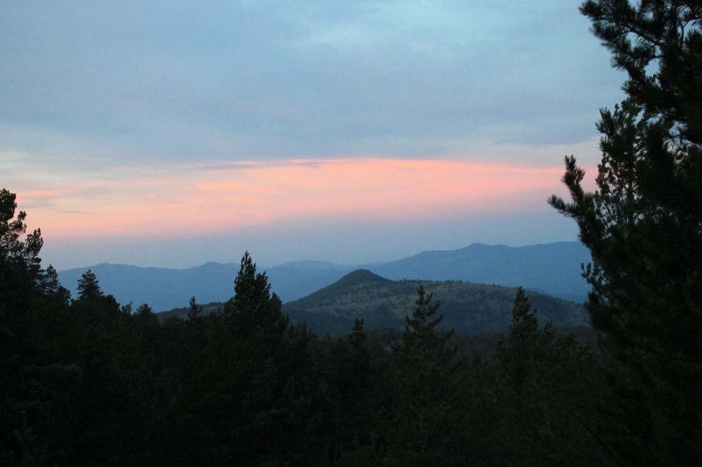
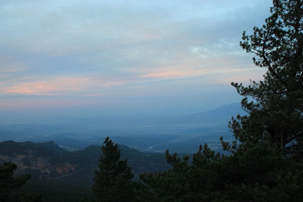
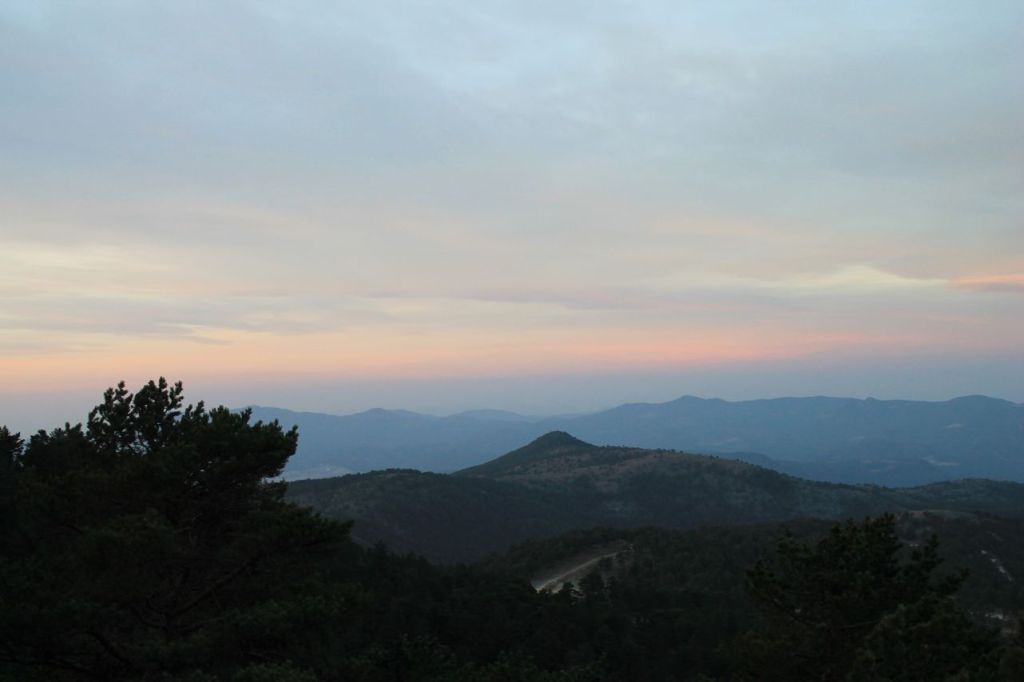
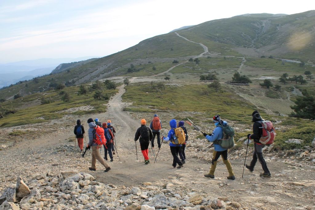
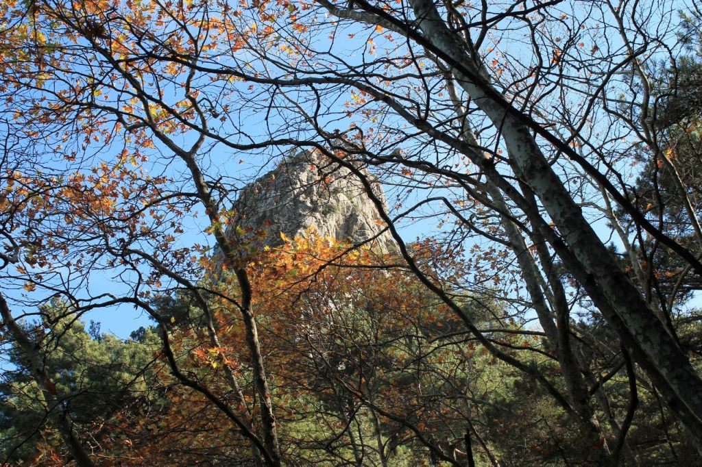
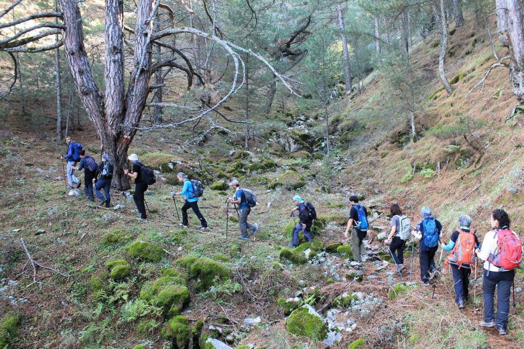
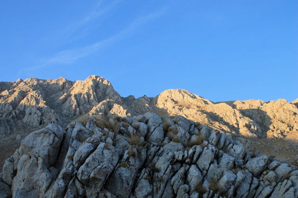
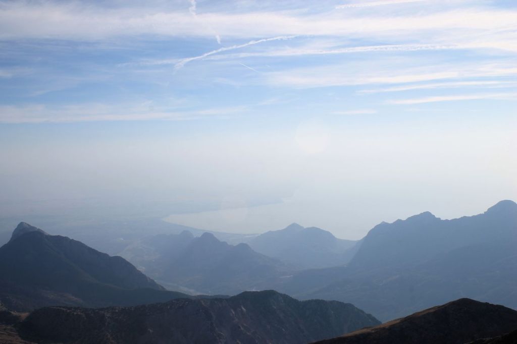
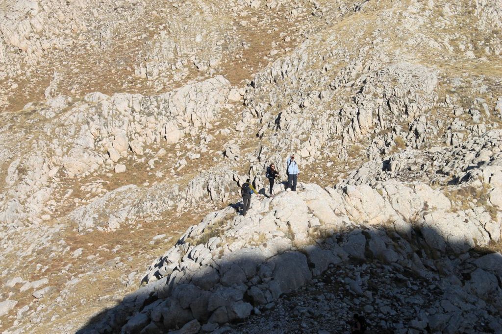
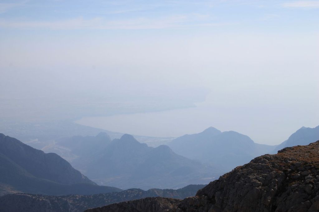
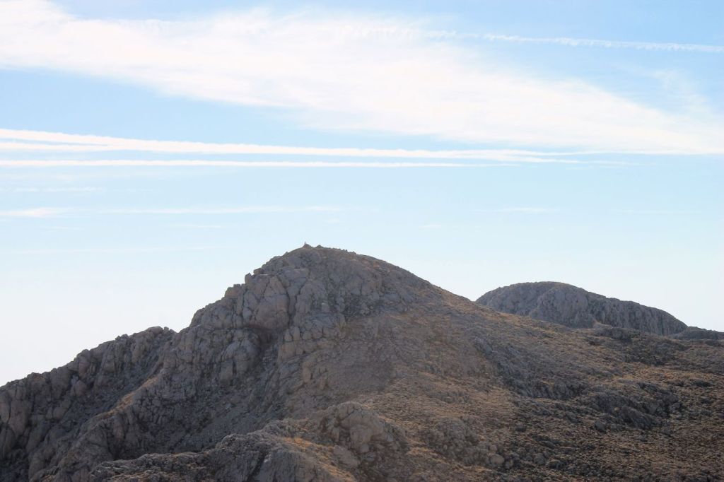
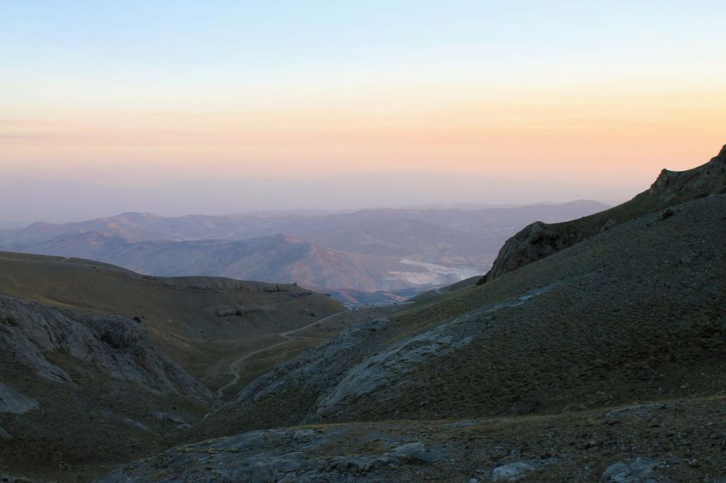
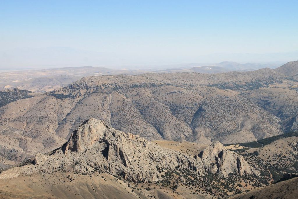
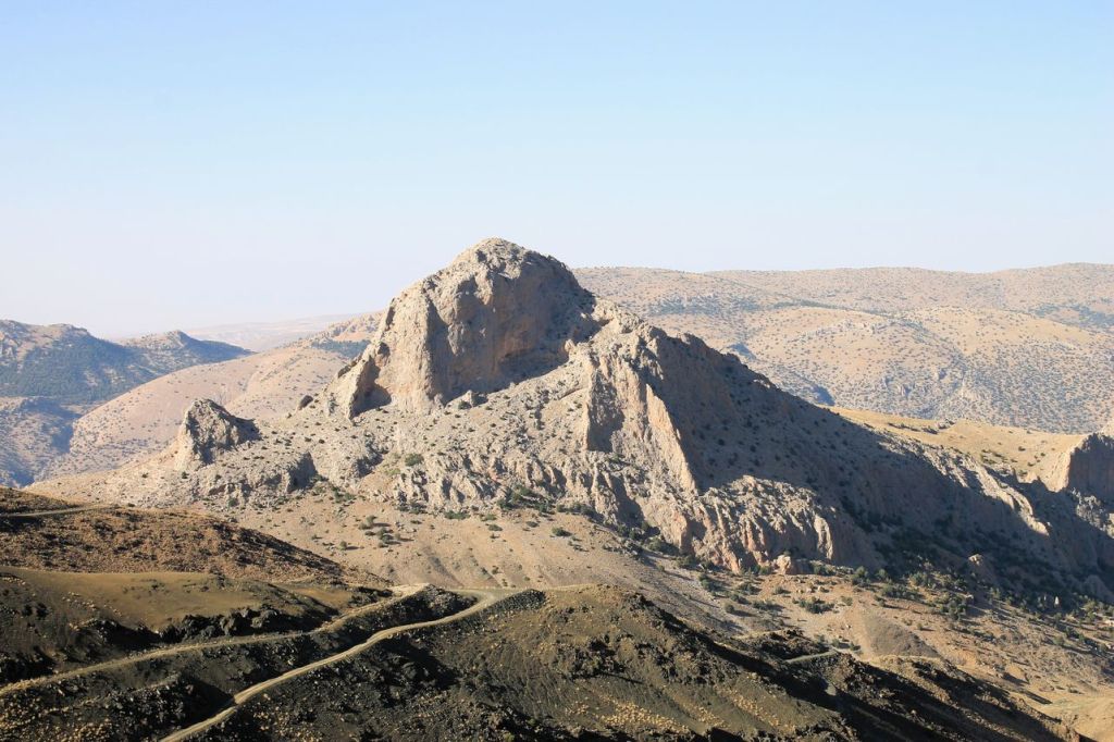
Turkiye. Kiriklar – Mt. Gelin (1497m) – Kaynaklar.
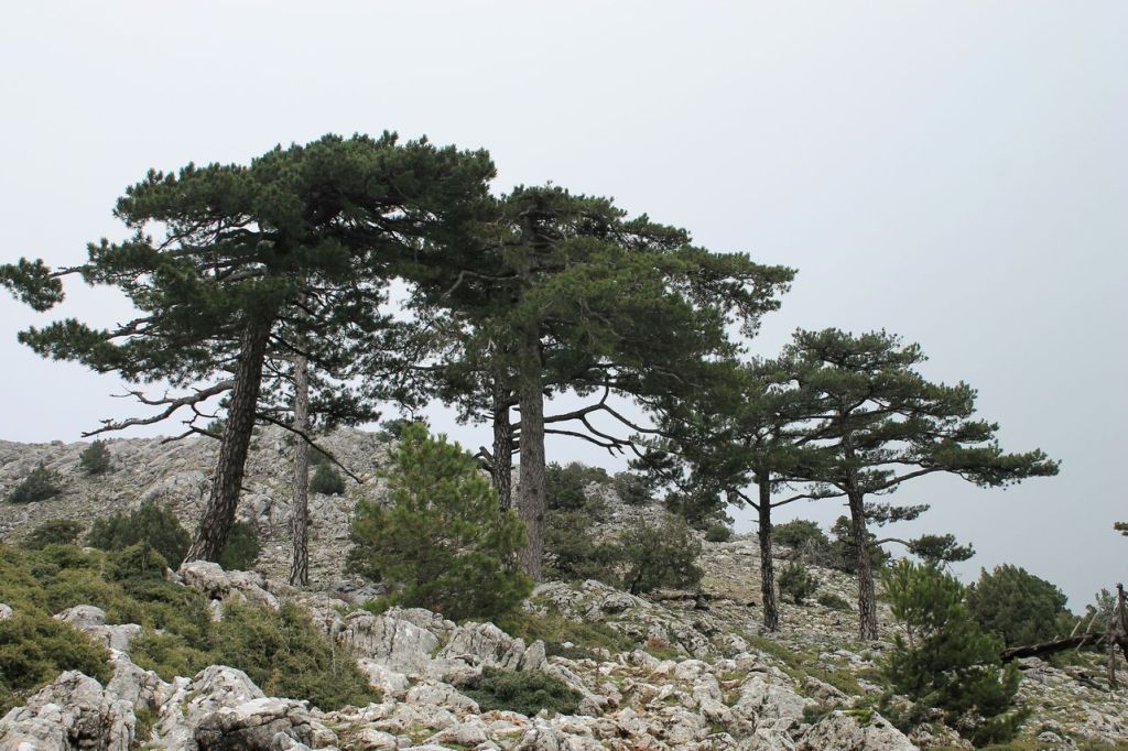
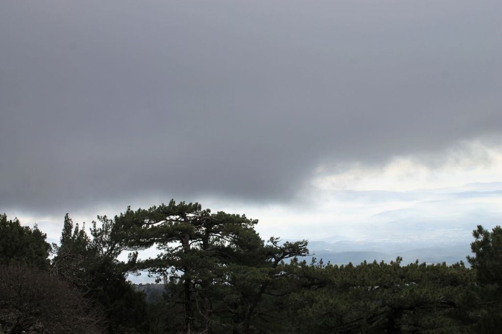
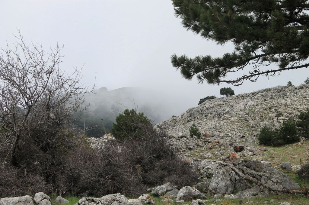
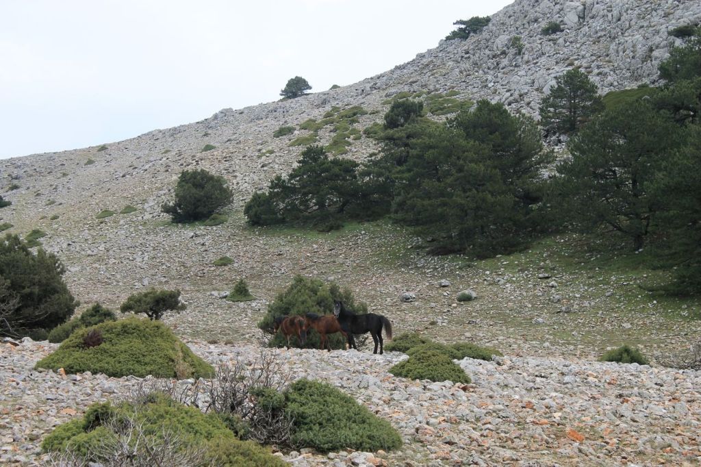
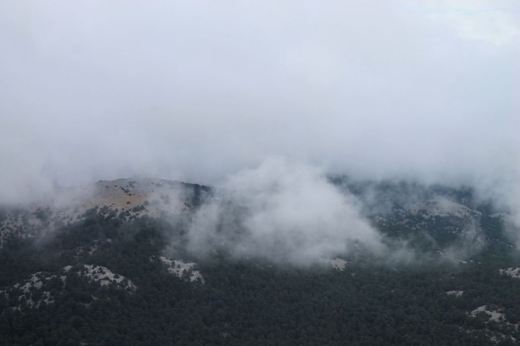
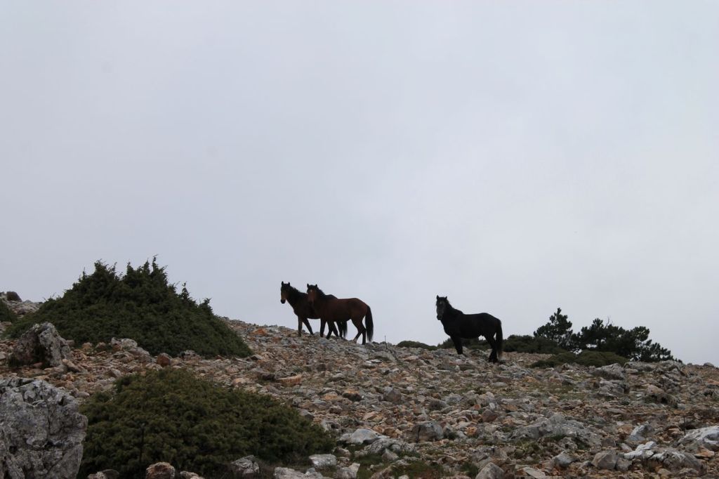
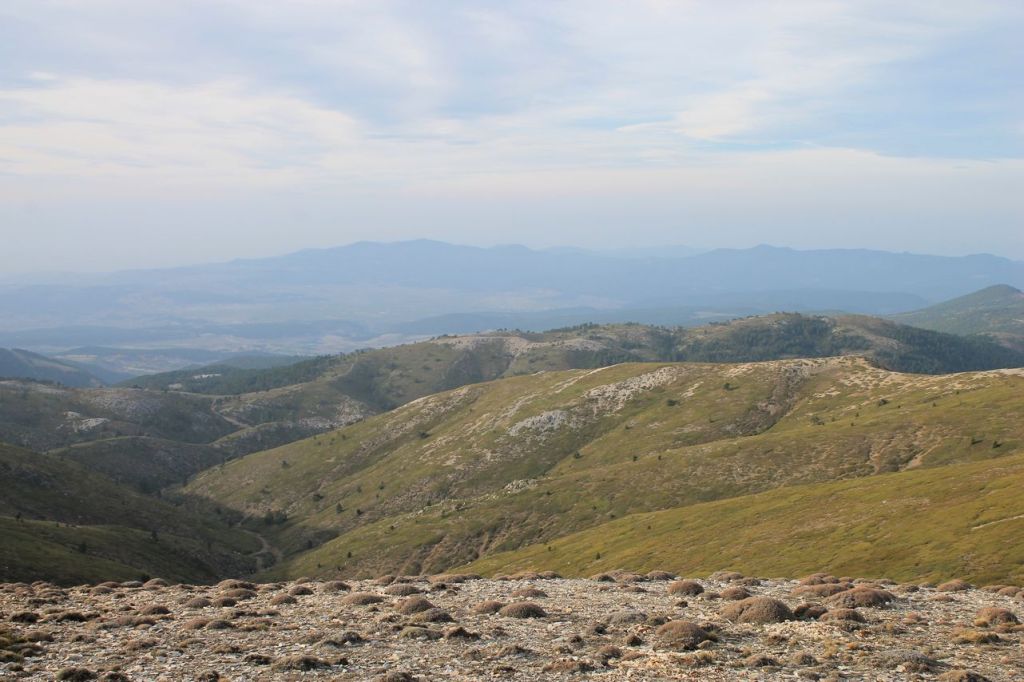
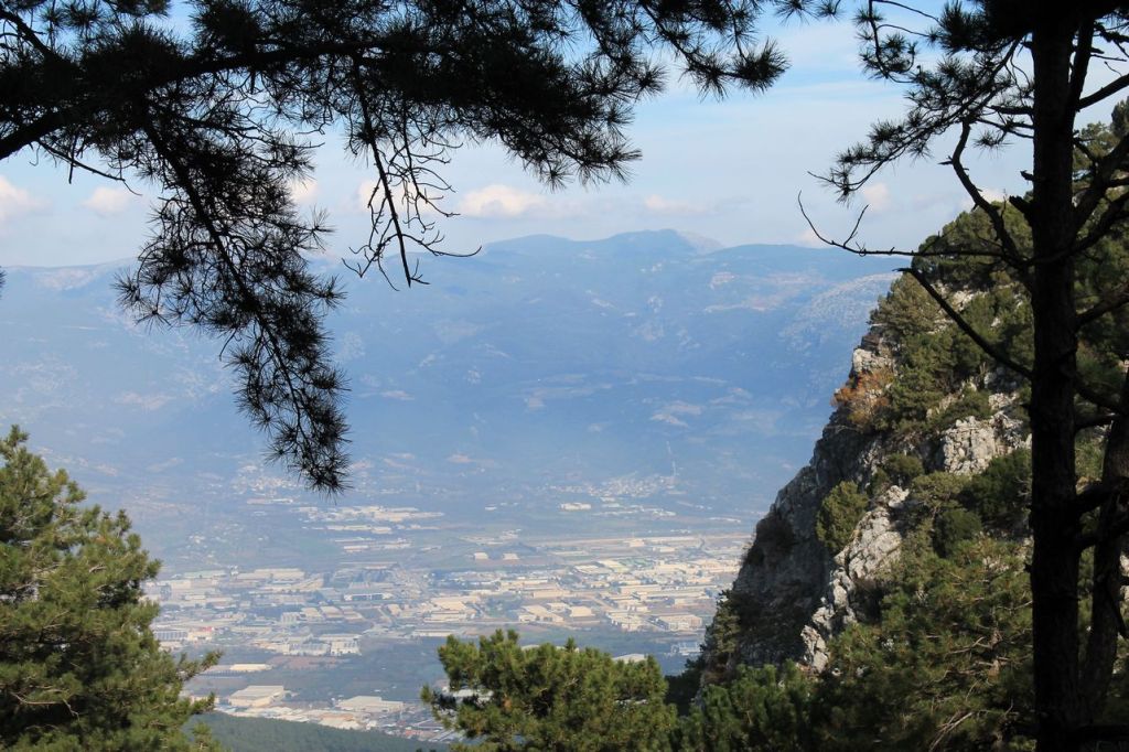
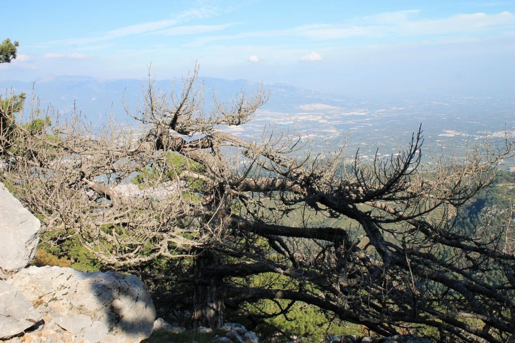
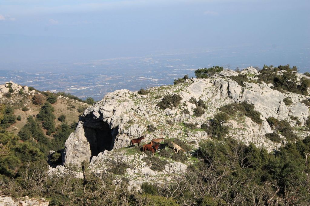
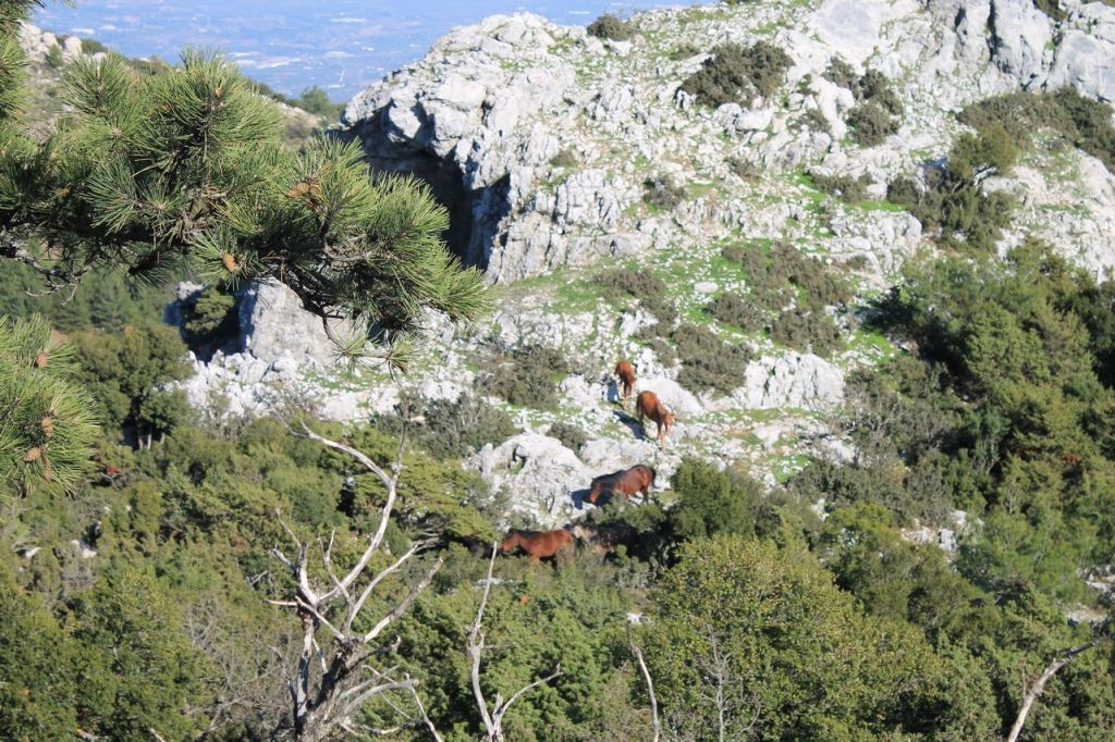
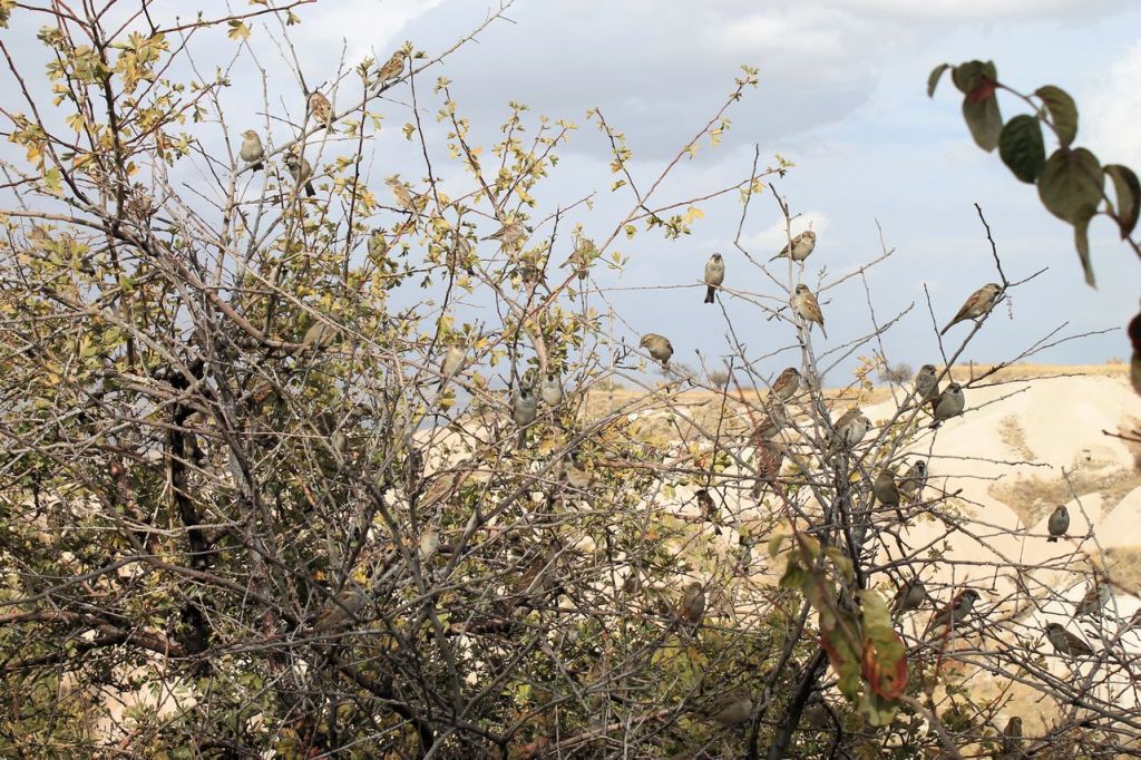
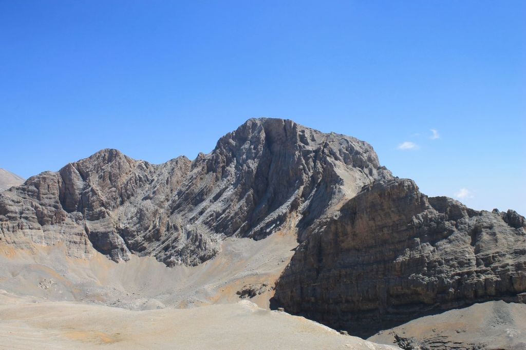
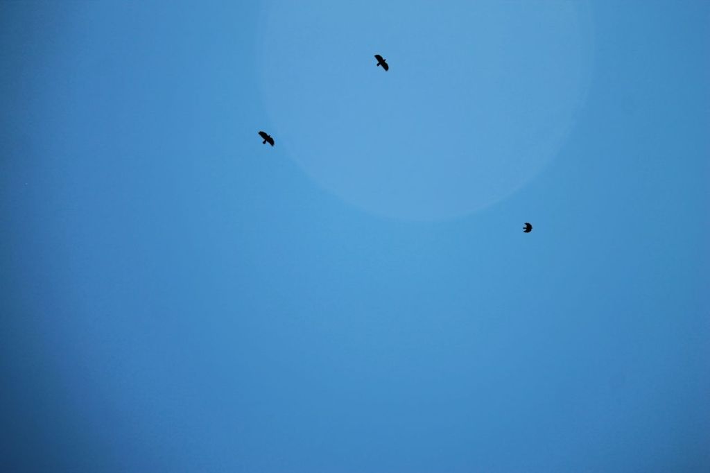
I’ve been at mt. Gelin a couple of years ago (post). That time the weather was sunnier. This hike was by another pathway. And the weather was different. It was cloudy. The clouds lay right on top of the mountain, but they weren’t just lying there, they were moving with the wind. Their movement resembled wisps of smoke, creating a beautiful but slightly gloomy atmosphere. The surrounding silence also added to the suspense. It was good that the sun peeked through sometimes. There weren’t many views from the top of the mountain this time because of the cloudiness, but we did encounter wild horses! We made about 22km at this hike. wikiloc
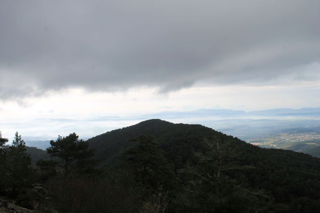
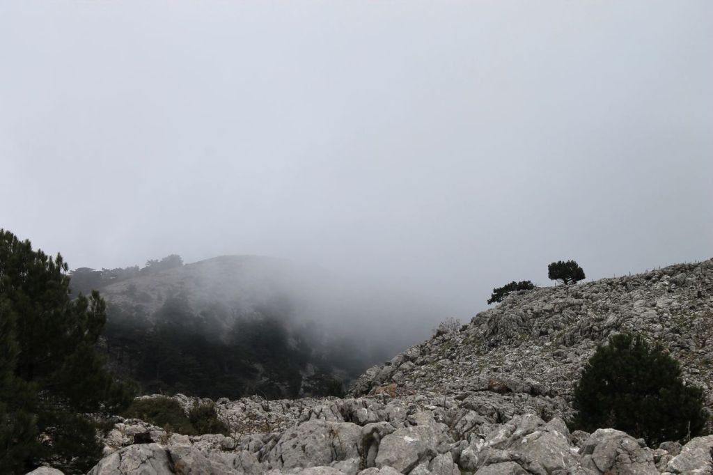
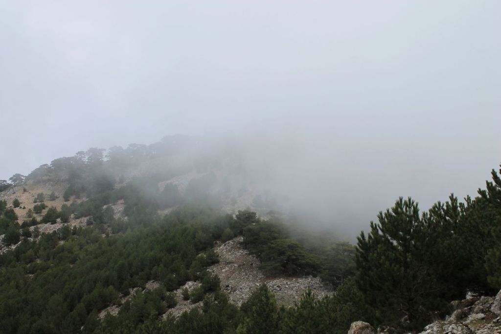

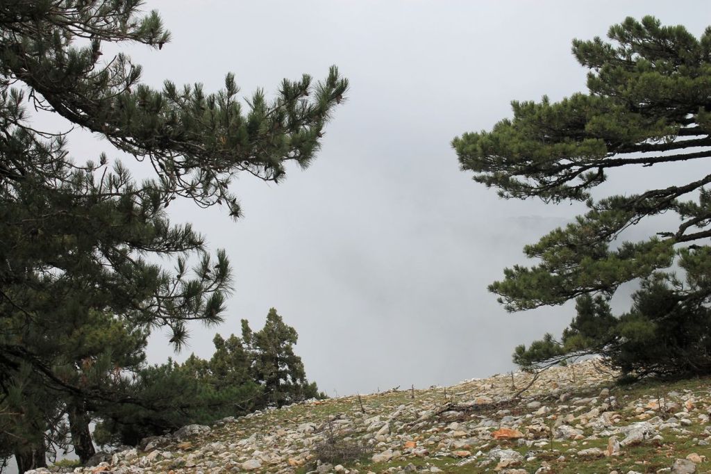

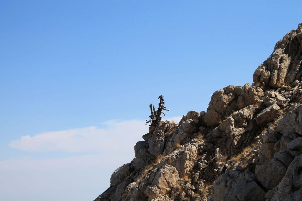
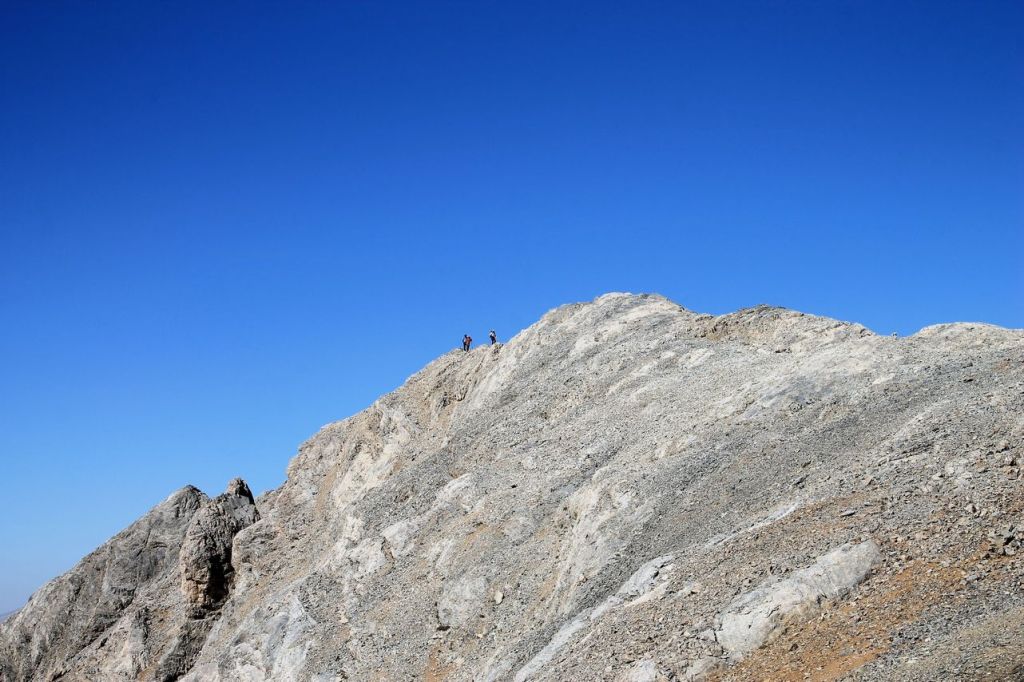
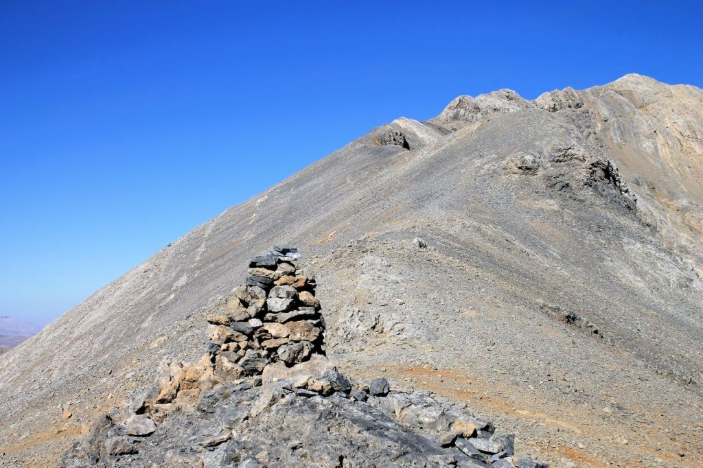
the summit 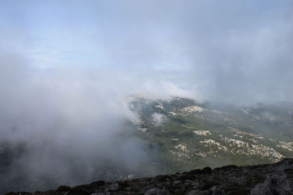

-
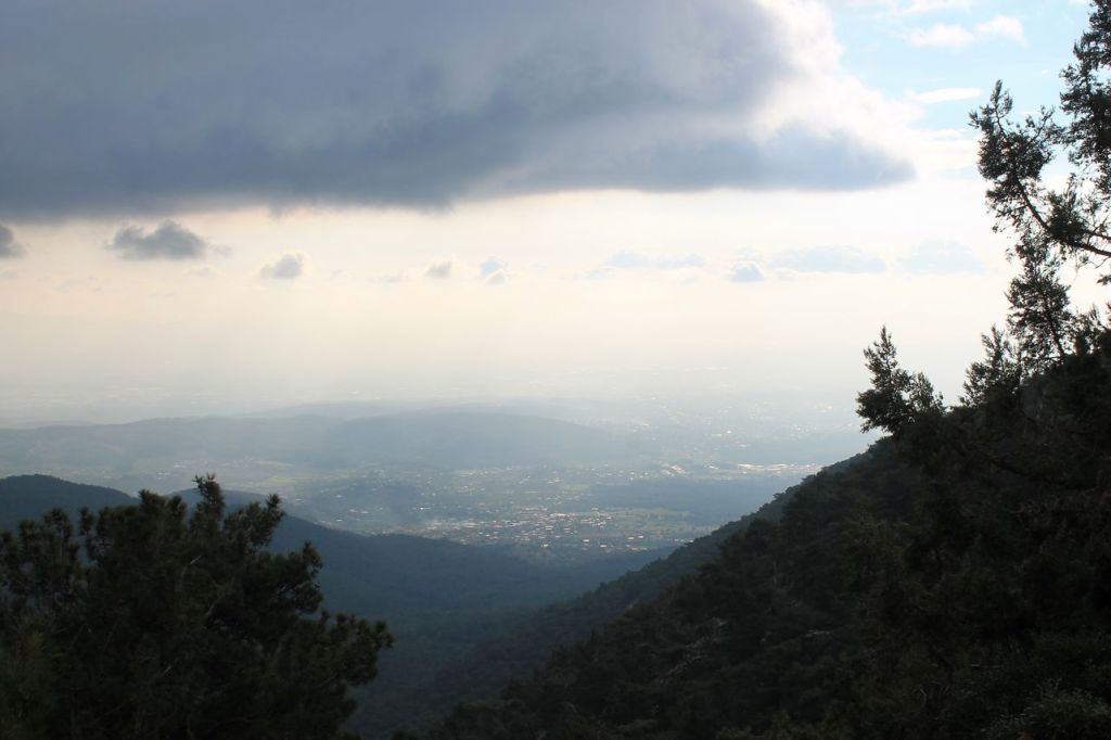
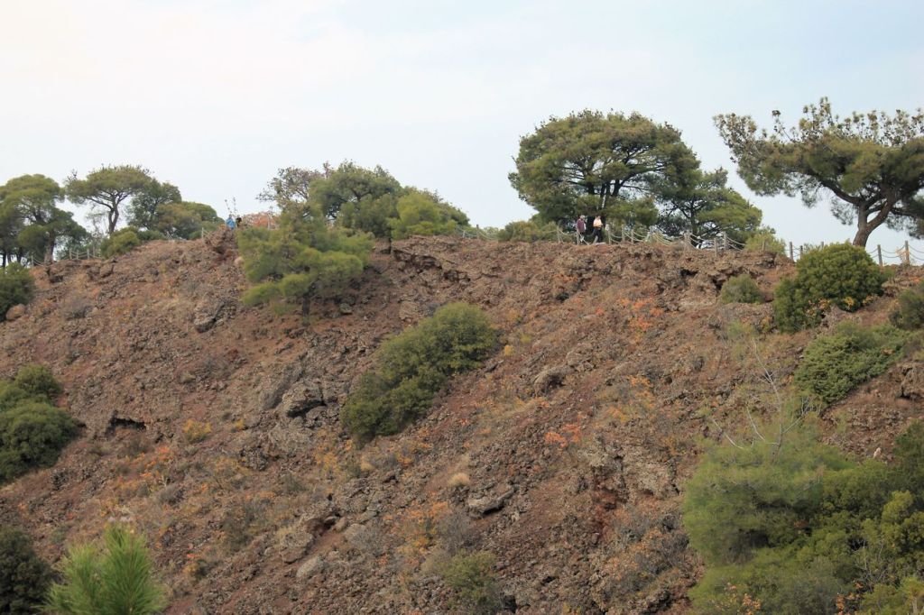
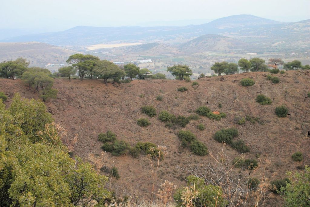
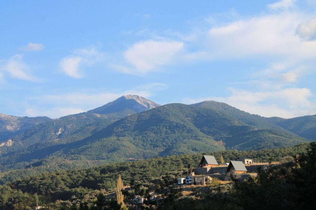
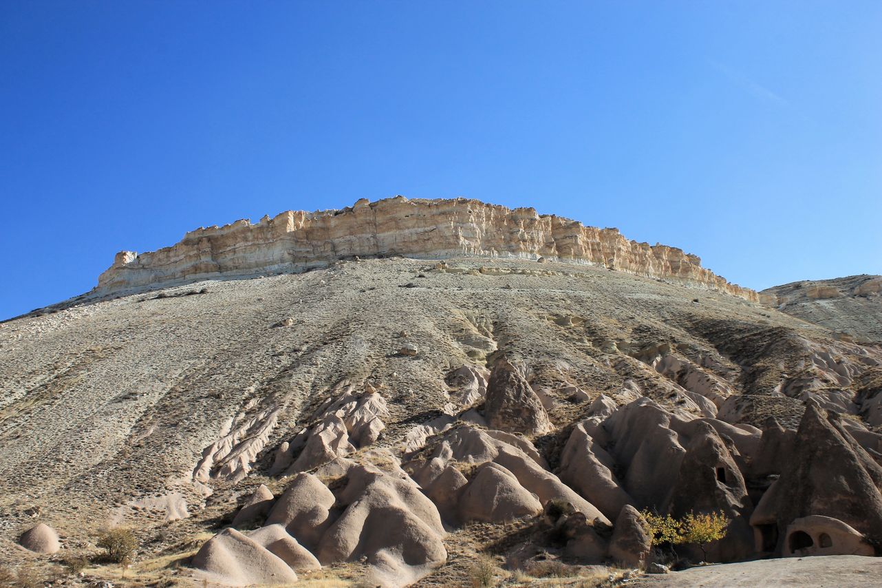
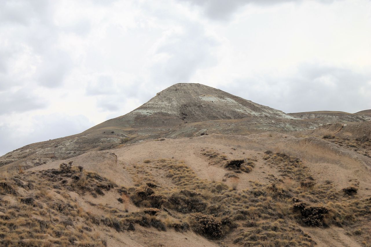
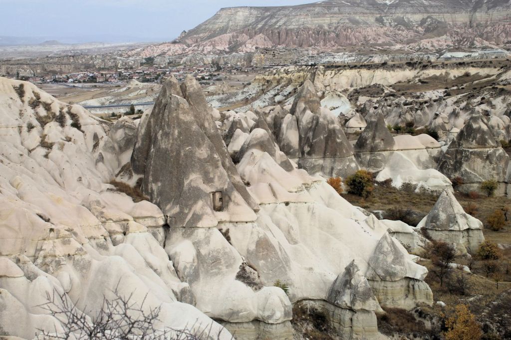
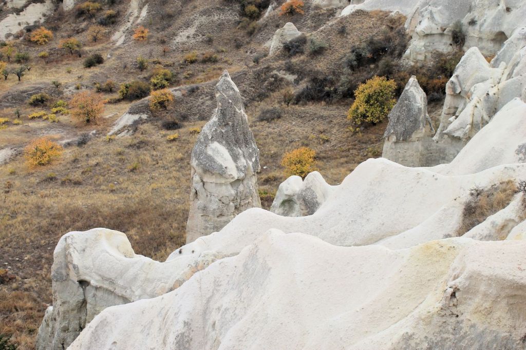
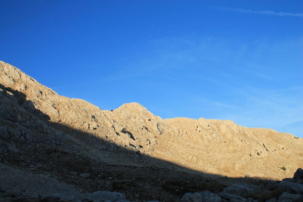
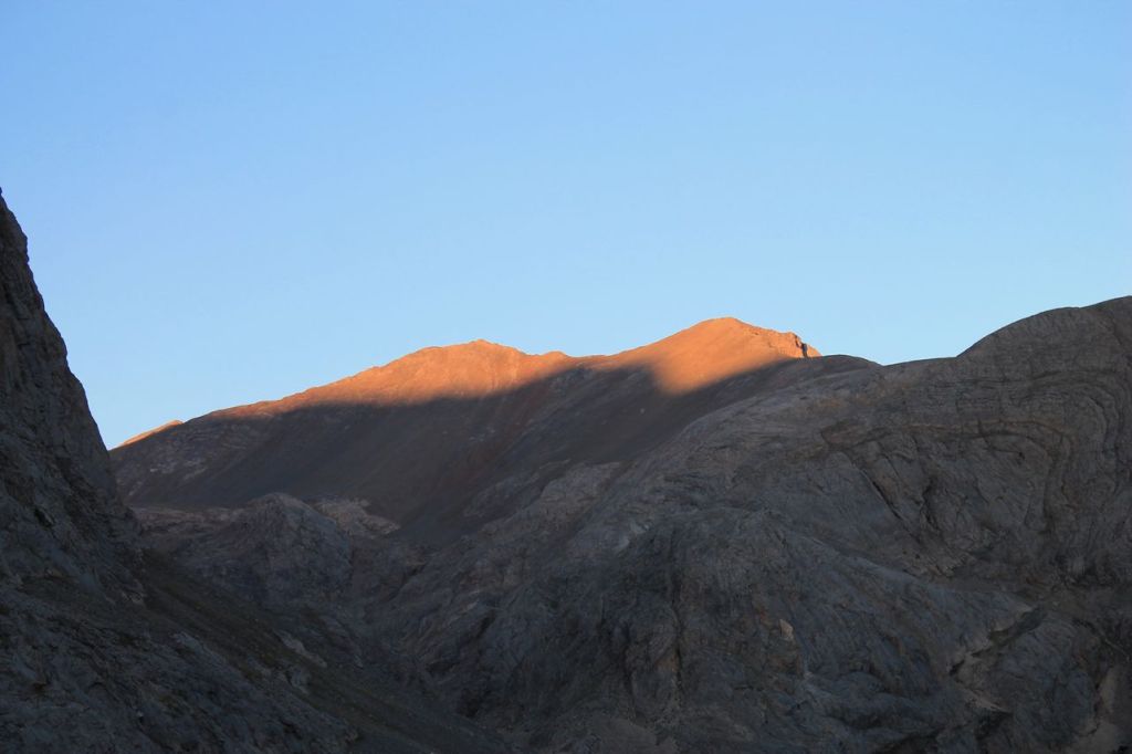
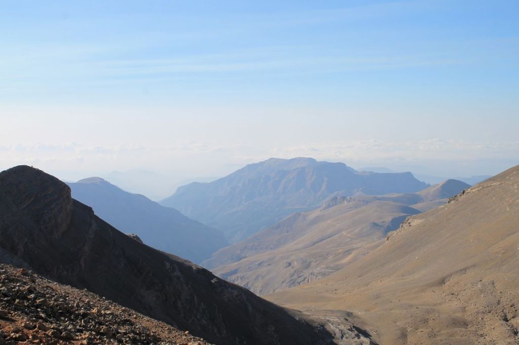
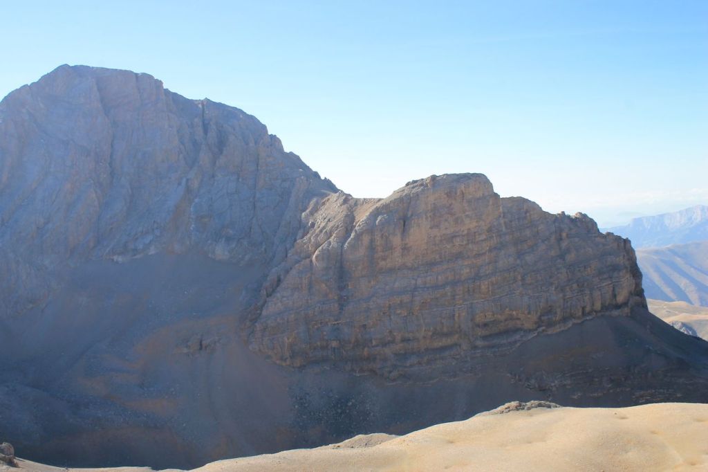
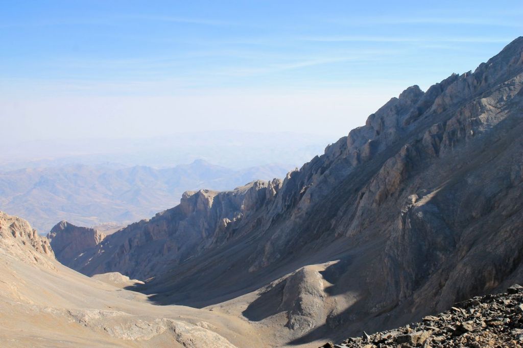
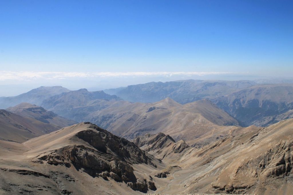
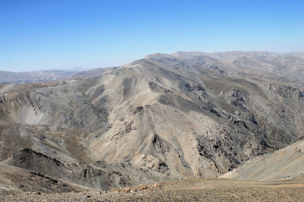
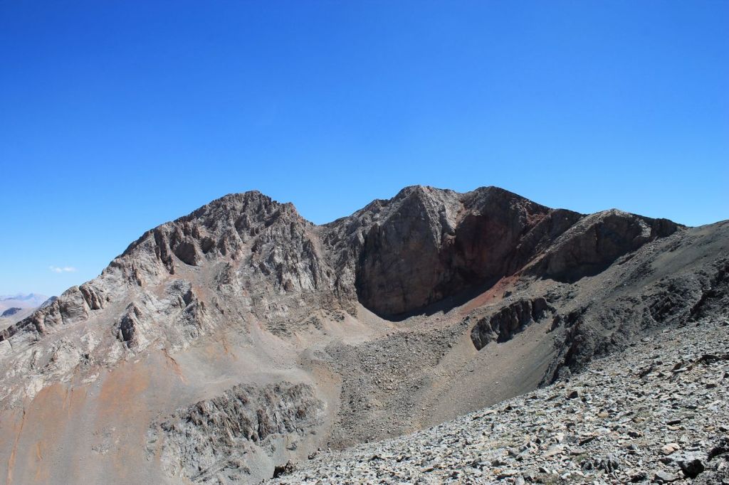
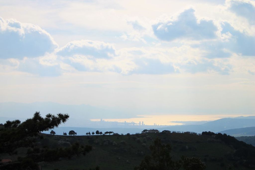
Turkiye. Mt. Murat (2312m). Kula – Salihli Unesco Global Geopark.
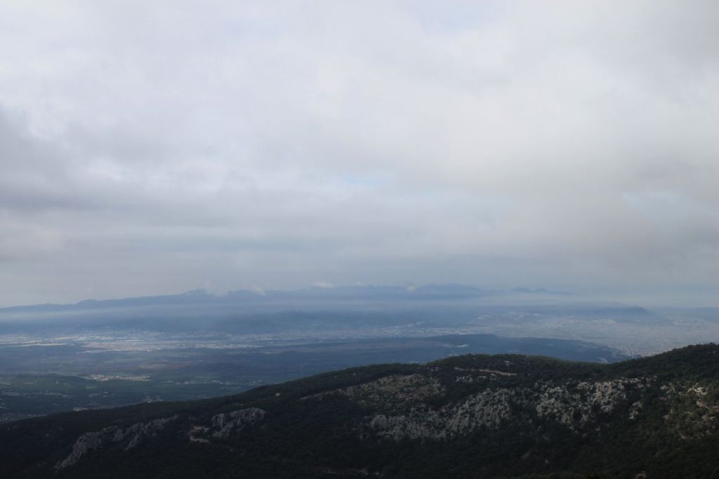
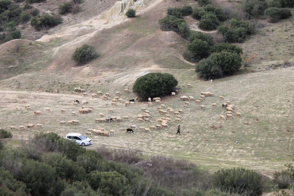
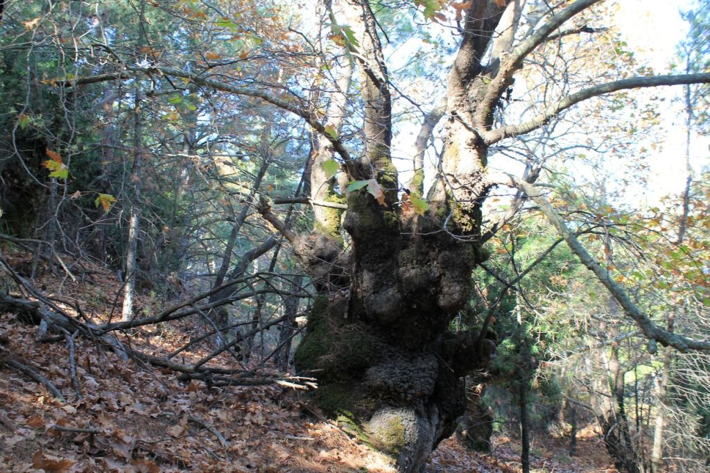
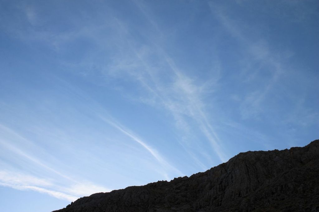
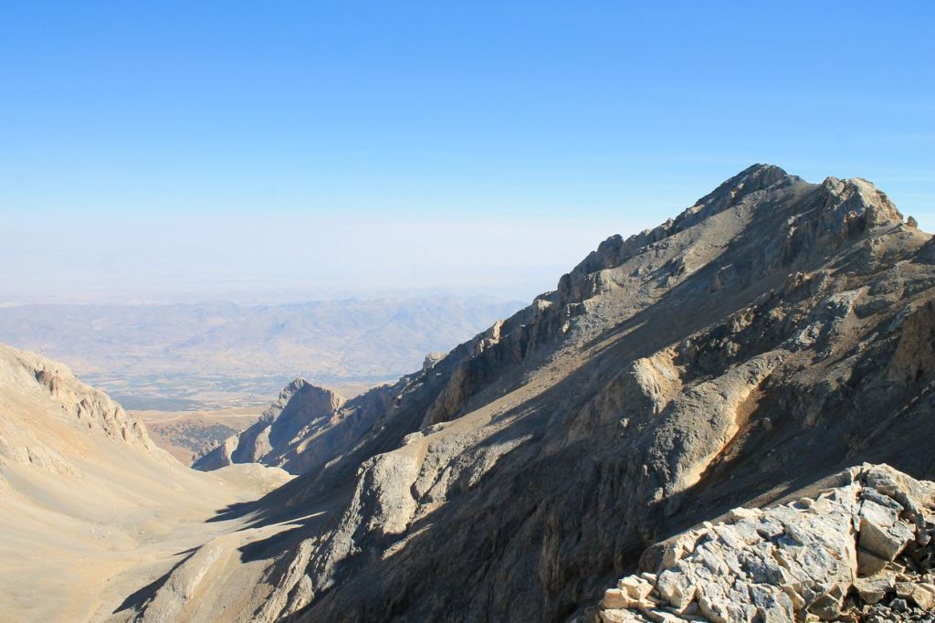
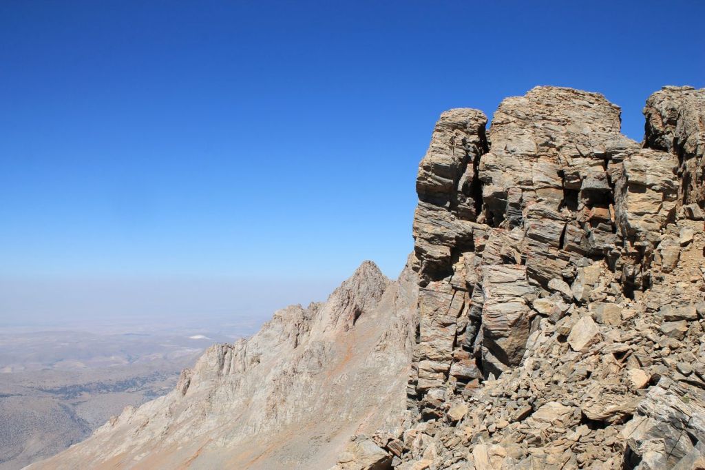
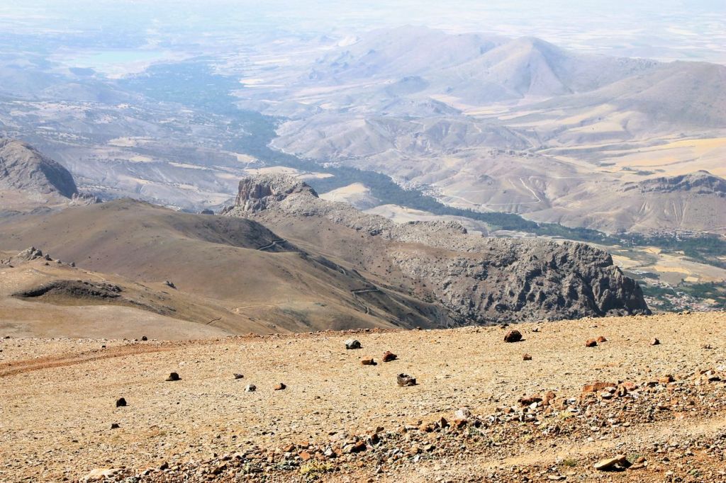
It was two-day activity with a small team from Idadik.org. We started from Izmir at Friday night and reached thermal resort at the foot of the Murat mountain before the dawn. After a brief preparation, we switched on our headlamps and set off for the mountain. We climbed most of the steep, forest-covered slope in the dark, and by dawn we had reached a gentler, treeless slope. A strong, biting wind blew throughout our ascent. At first, the trees in the forest protected us from the wind, but on the pass we were exposed to its full force. We had to put on three layers of clothing and be careful not to get blown off the road. Because of the strong wind, we did not linger at the top, just took some photos and videos, and headed back. When we reached the forest area, it became quite comfortable. We could take off our extra clothes. It got warm, and we descended to the resort without incident. Next, we checked into our bungalows, enjoyed the thermal pool, and in the evening, the guys grilled some kebabs. We had a wonderful time dining outdoors. At this day we made about 22km and reached an altitude of 1,133 meters. Wikilock
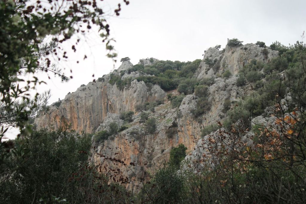
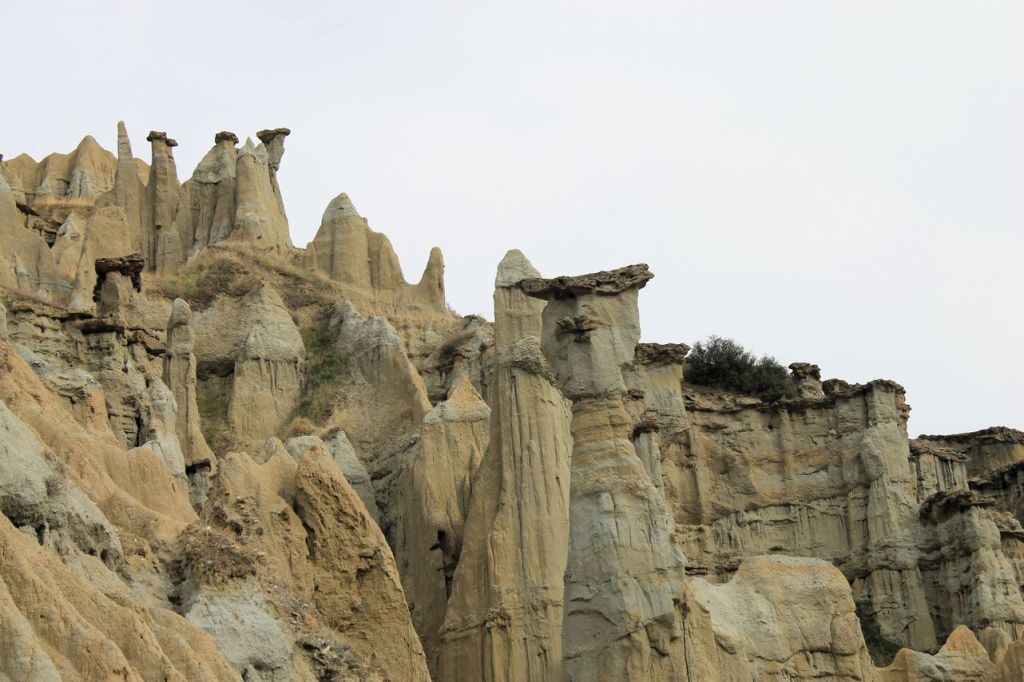
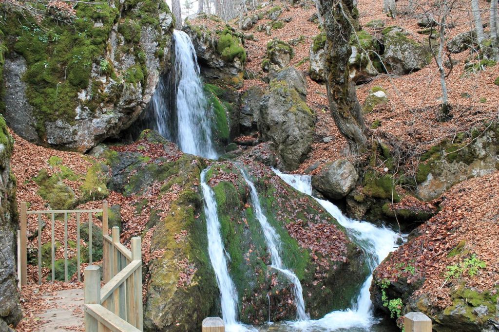
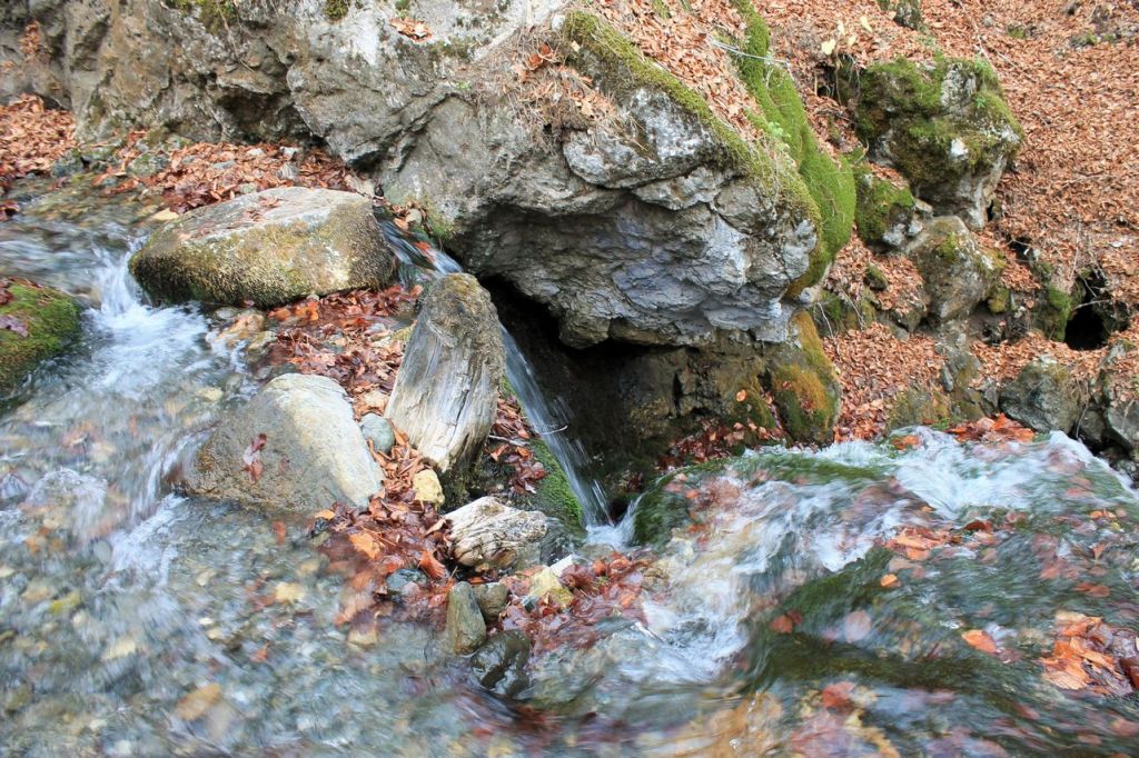
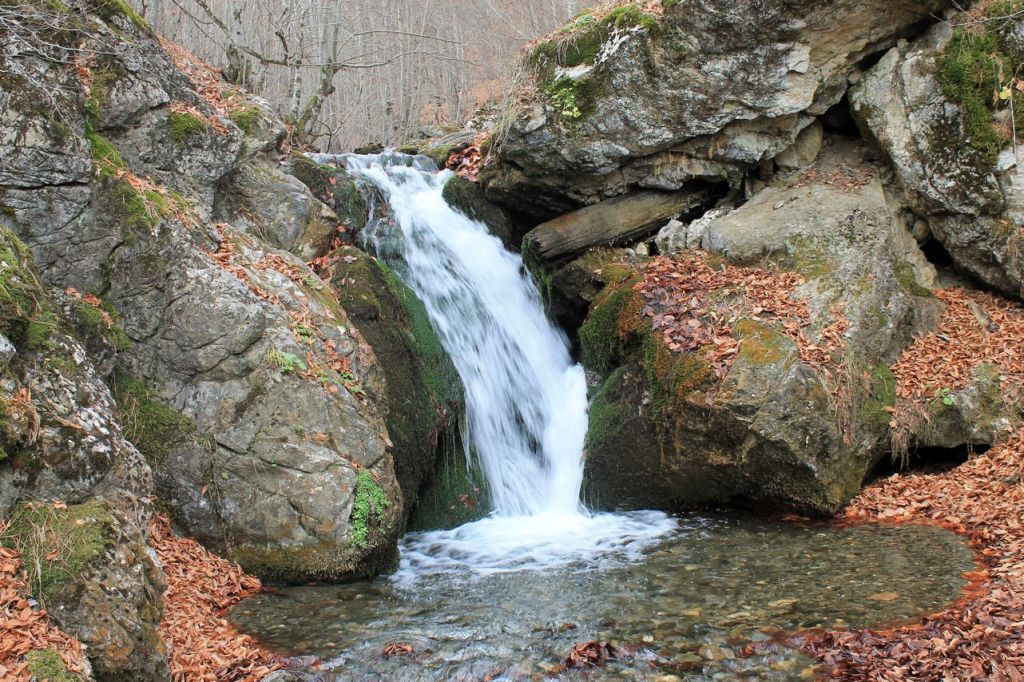
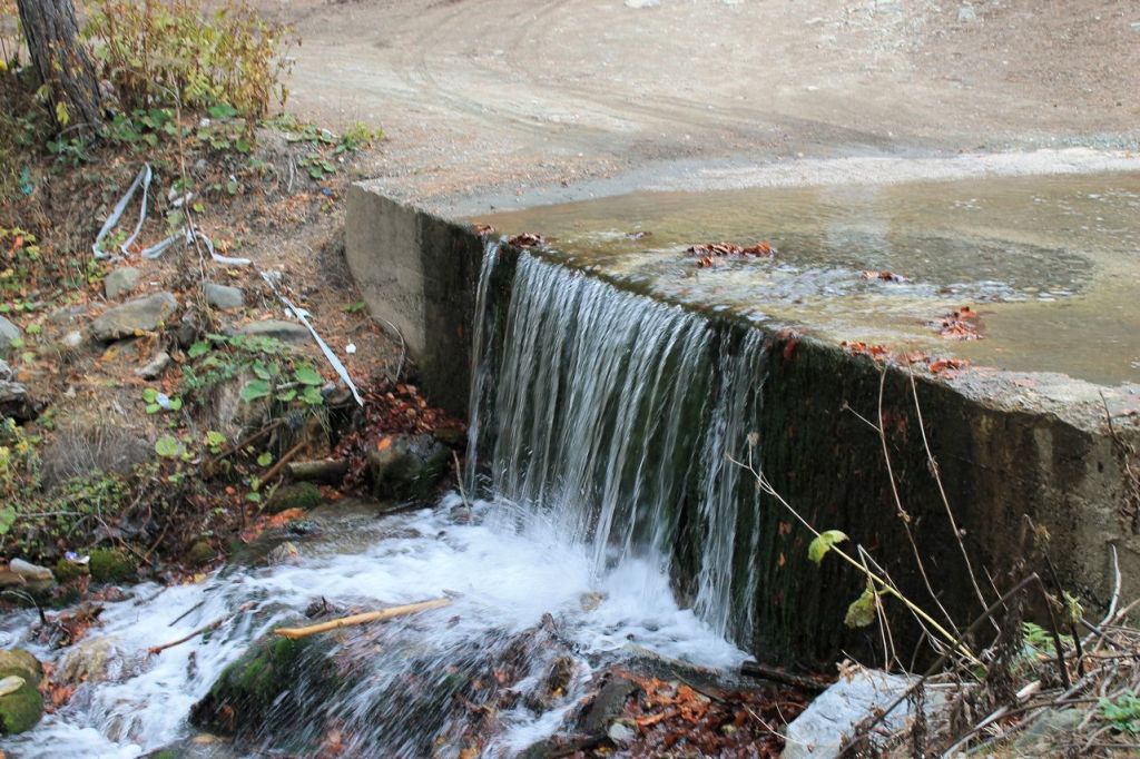
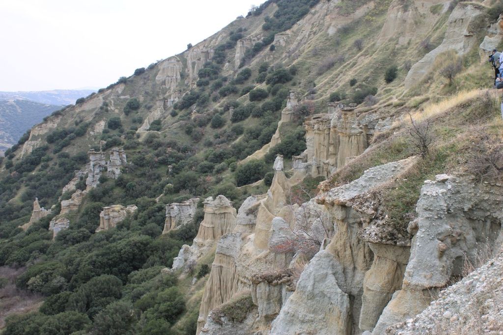
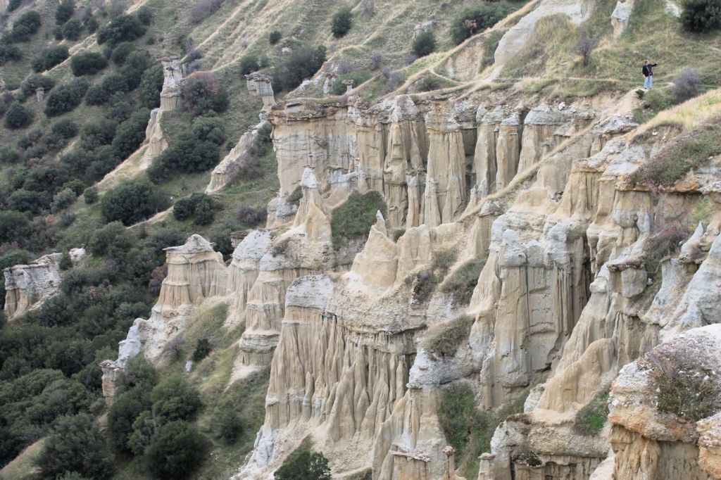
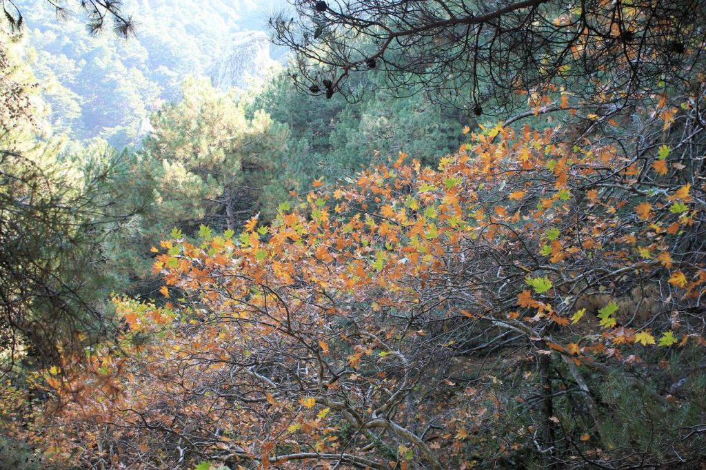
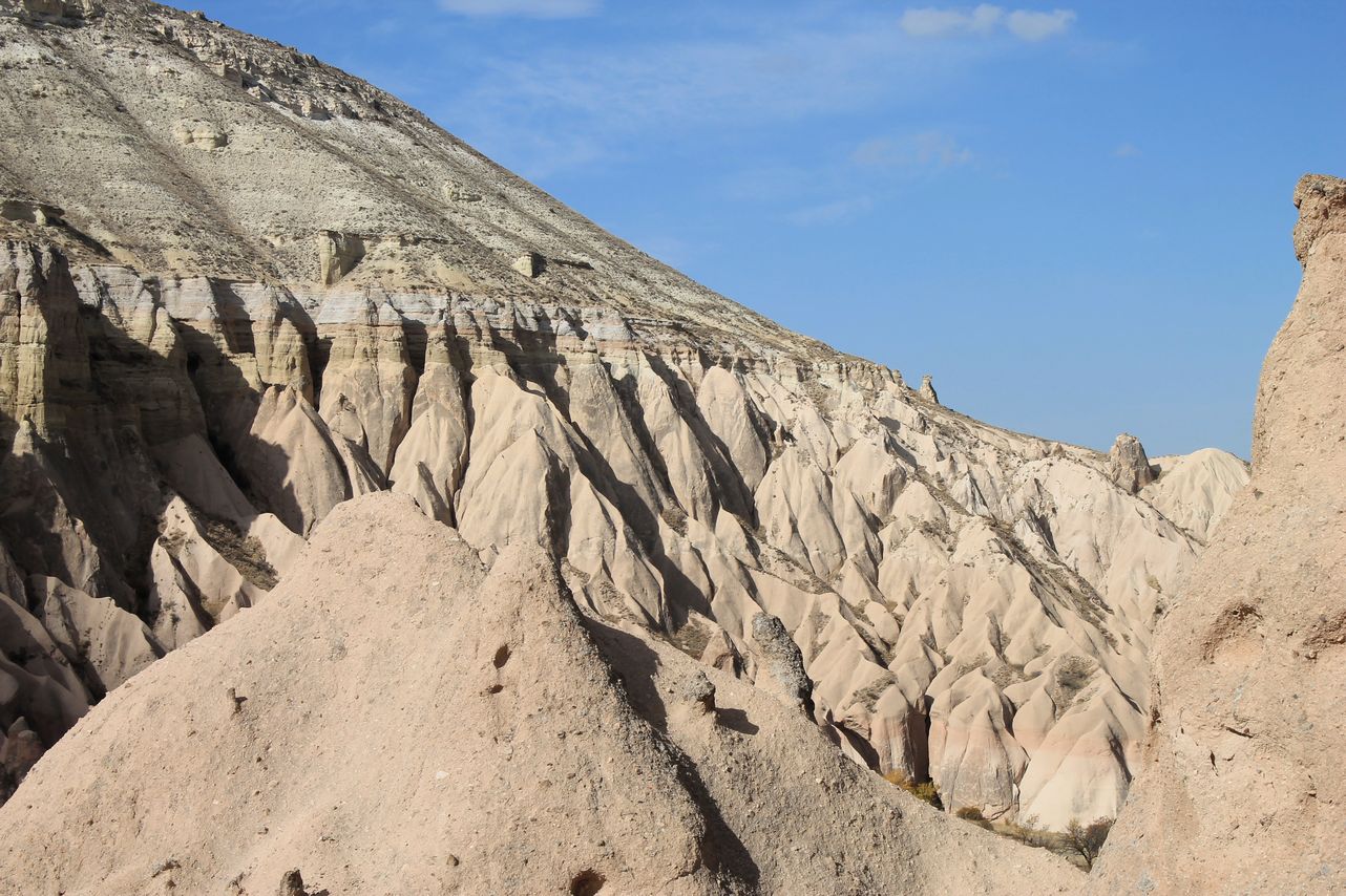
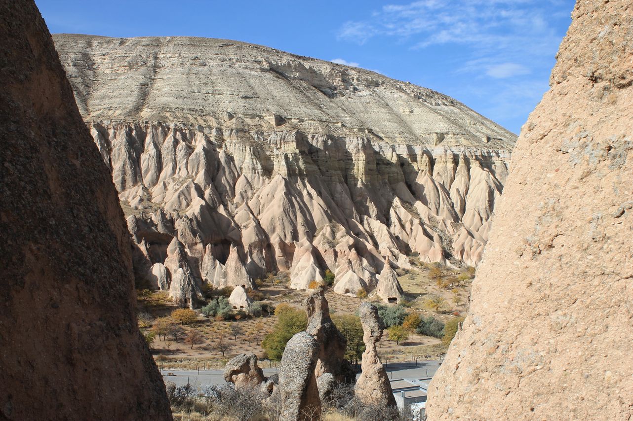
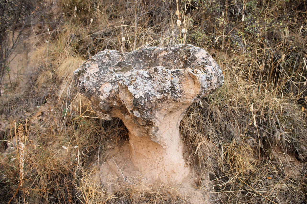
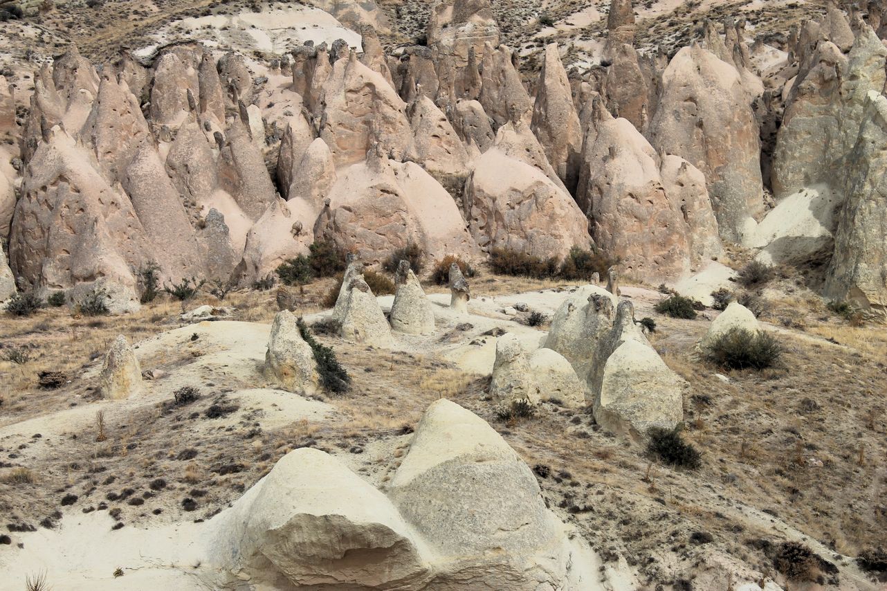
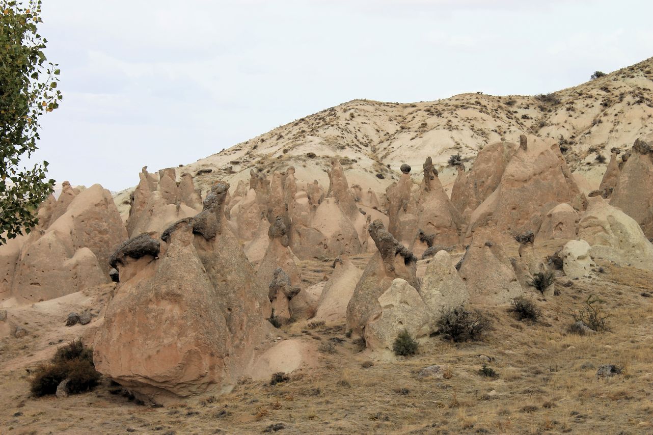
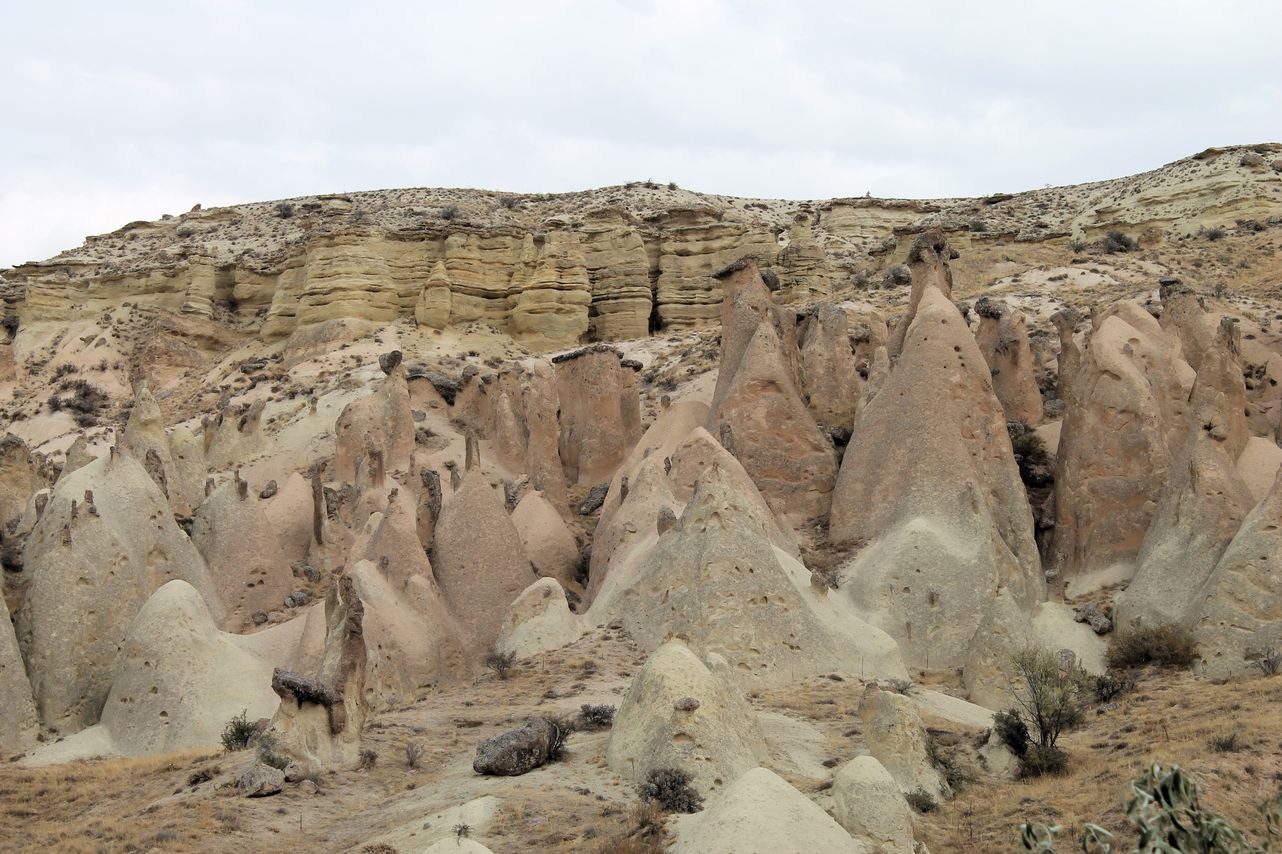
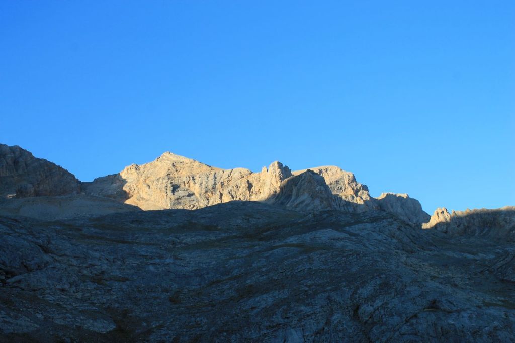
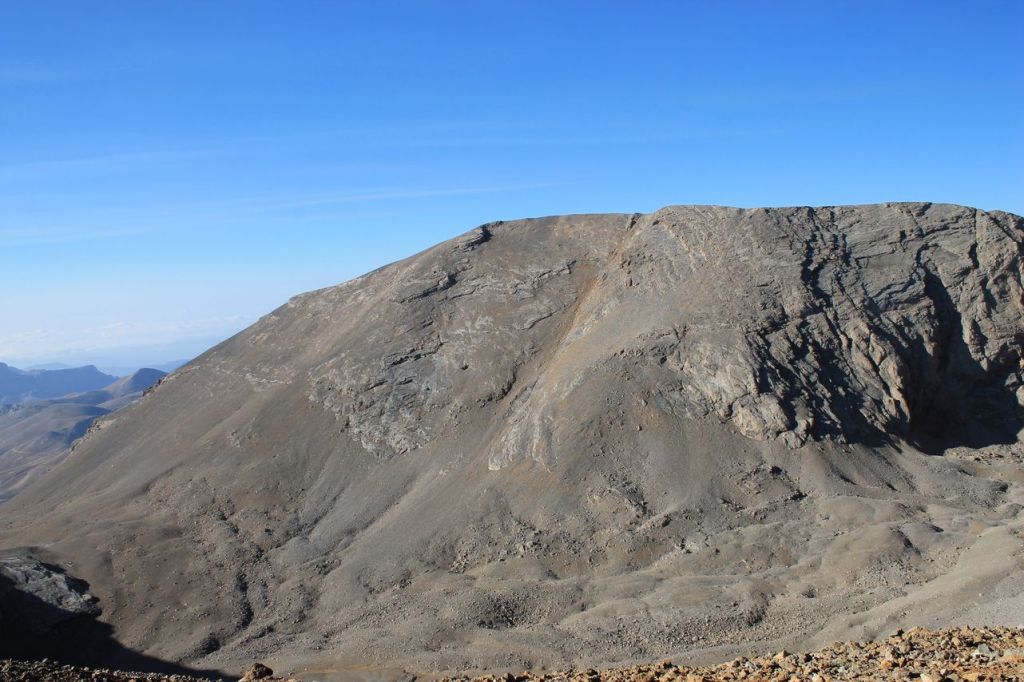
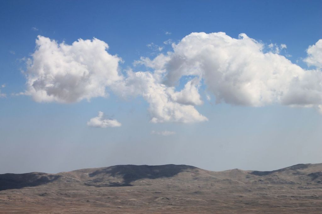
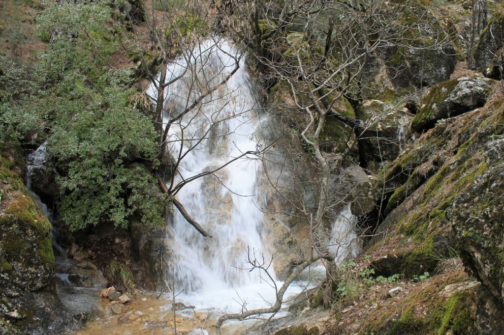
The next day, we had an extensive programme ahead of us. First, we drove to a waterfall about twenty kilometres from the thermal resort. Then we headed to the Kula Geopark on the road to Izmir. The geopark features amazing rock formations formed by magma flows from nearby volcanoes and shaped by wind and water. The landscapes in the geopark are similar to the world-famous rocks of Cappadocia, albeit on a smaller scale, but no less impressive. Then, after a delicious lunch, we went to see one of the ancient extinct volcanoes. We climbed to the top of the crater and walked around it. We had enough impressions for a week ahead!


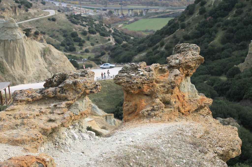
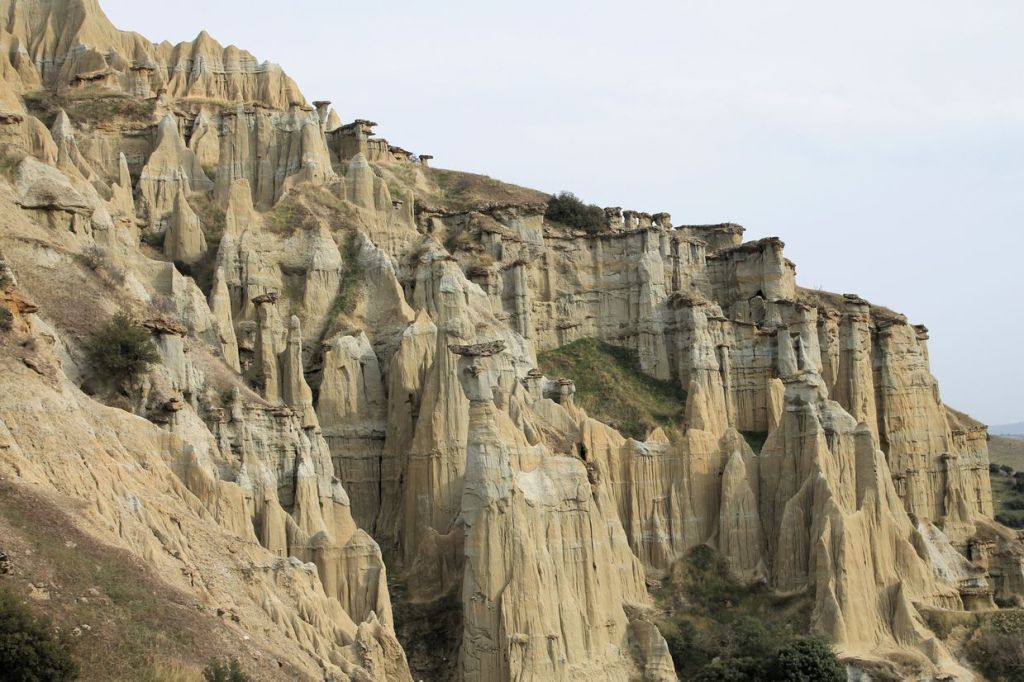
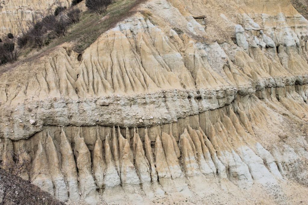
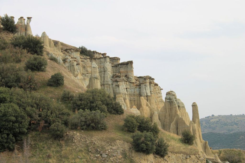
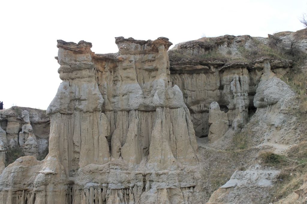
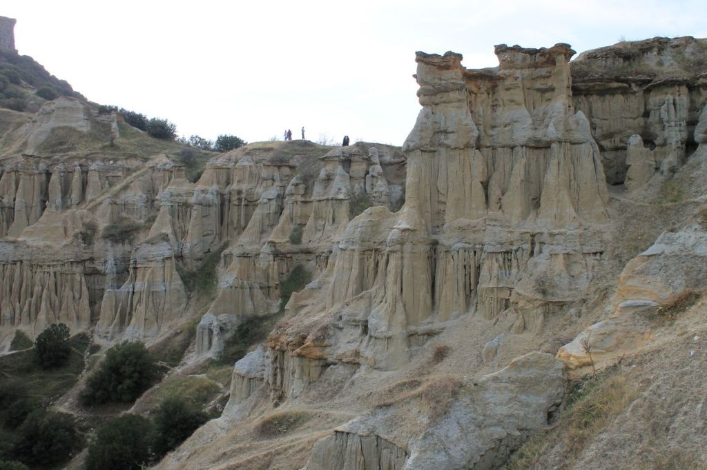

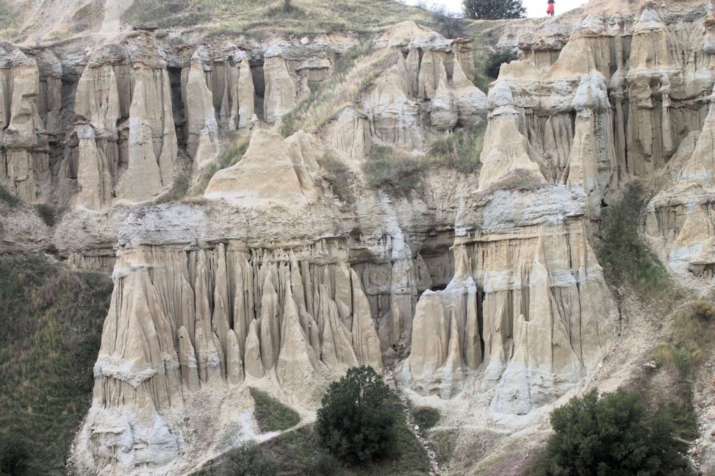
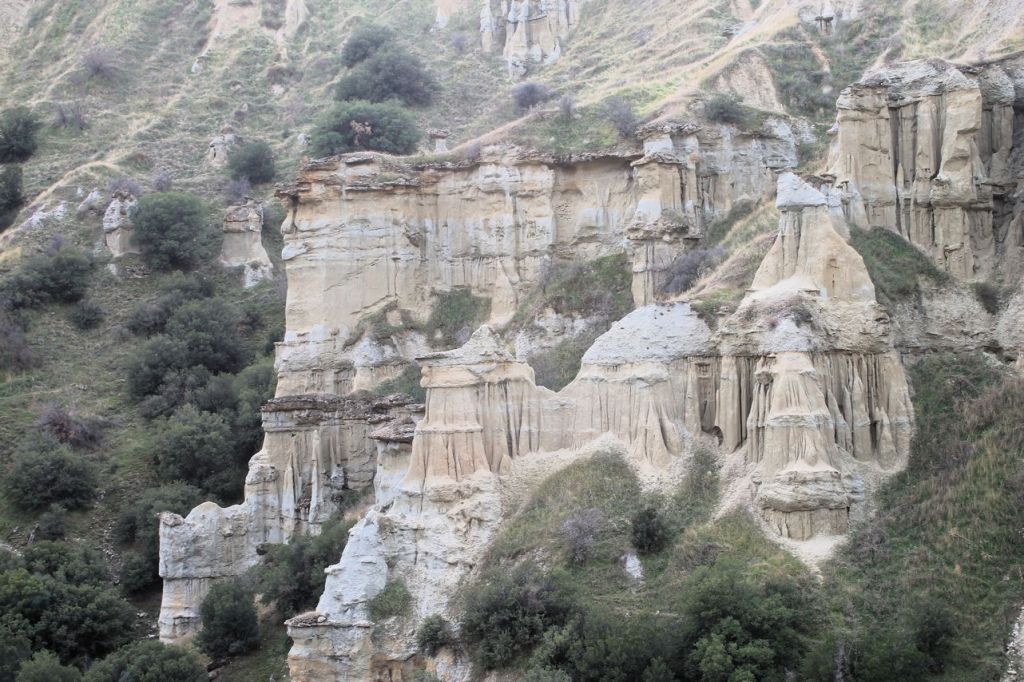
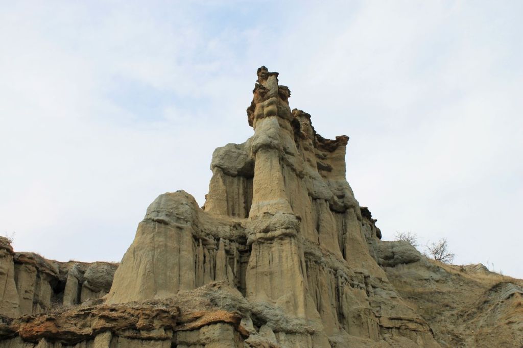
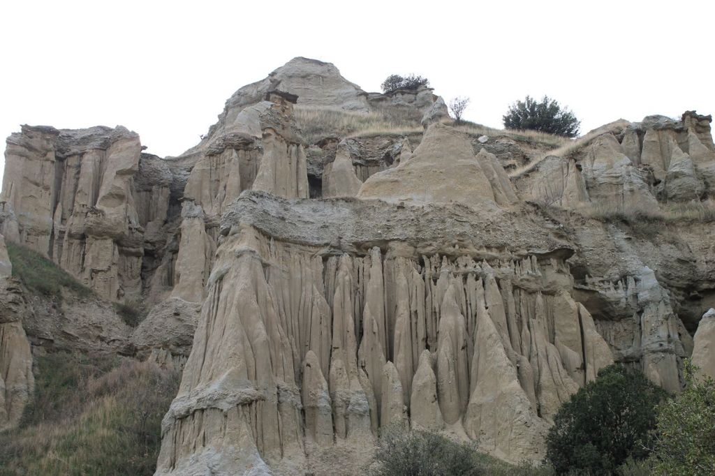
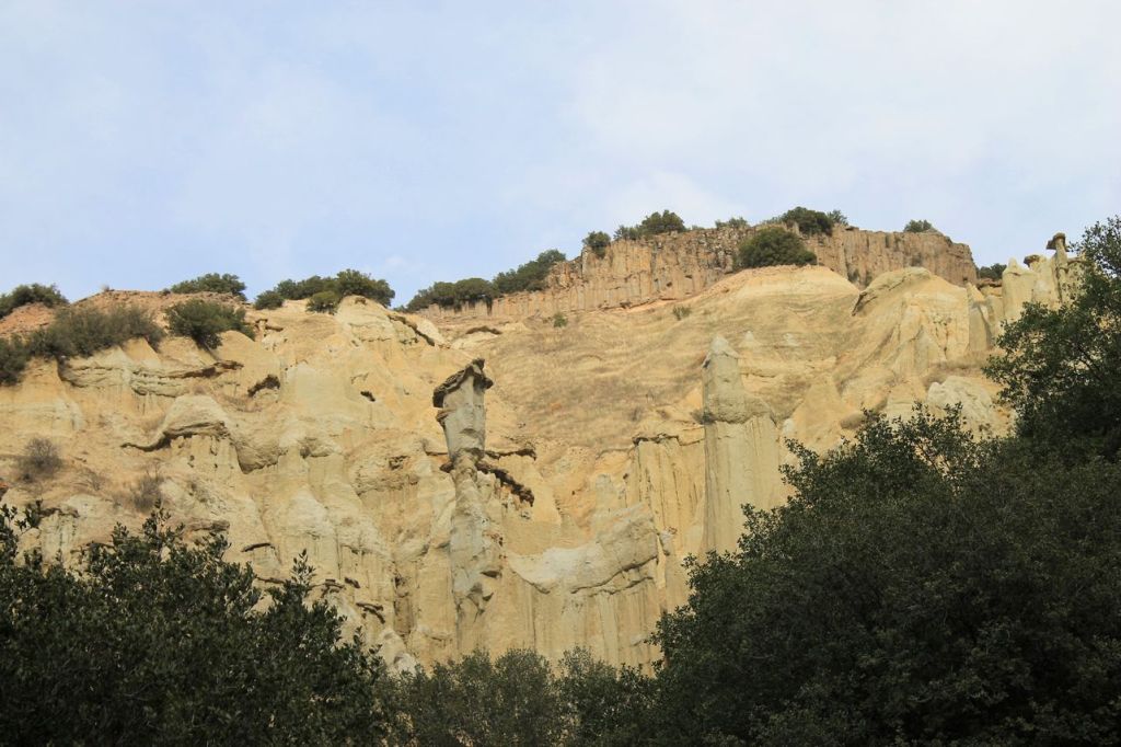
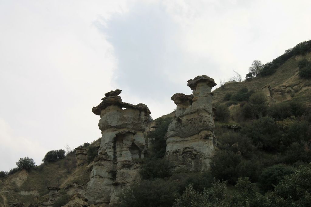
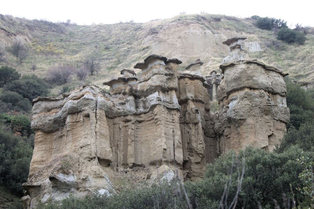
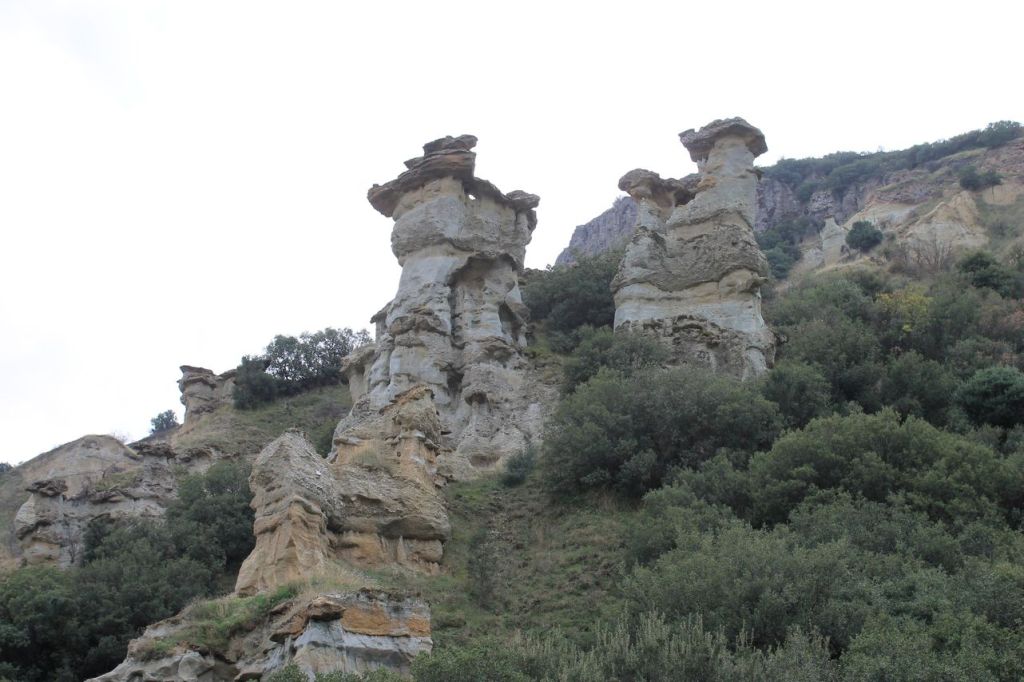

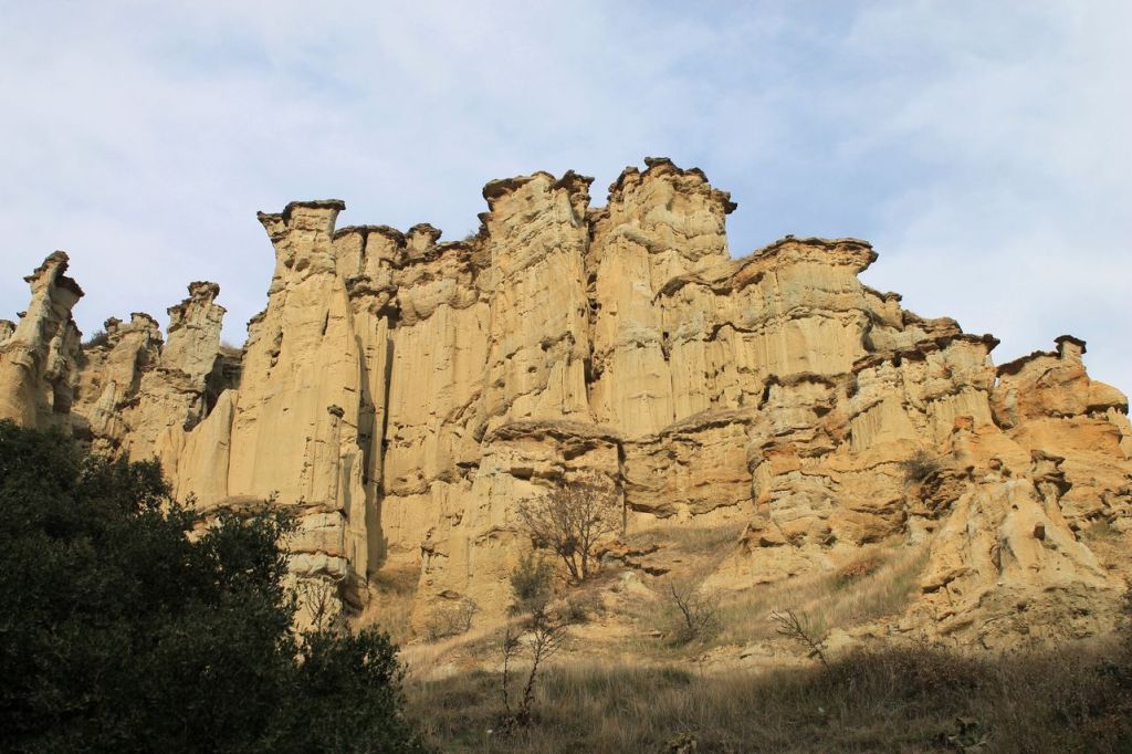
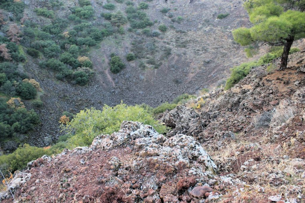
crater 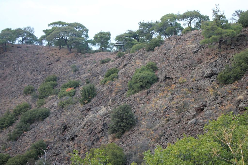

lava field 
extinct volcano -
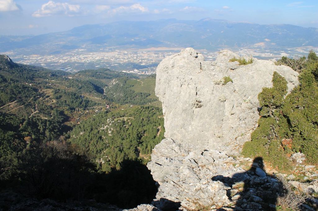
Turkiye. Kavaklidere – Nazarkoy.
I have been there almost the same date last year but today the weather was opposite – warm and sunny. You can compare the difference by yourself. The hike was with touristic club Izdak. The total distance was about 21 km and the elevation gain was 877m. Wikilock


-
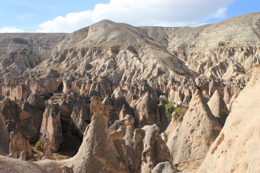
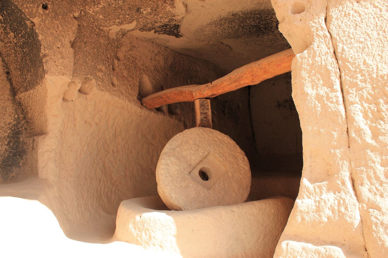
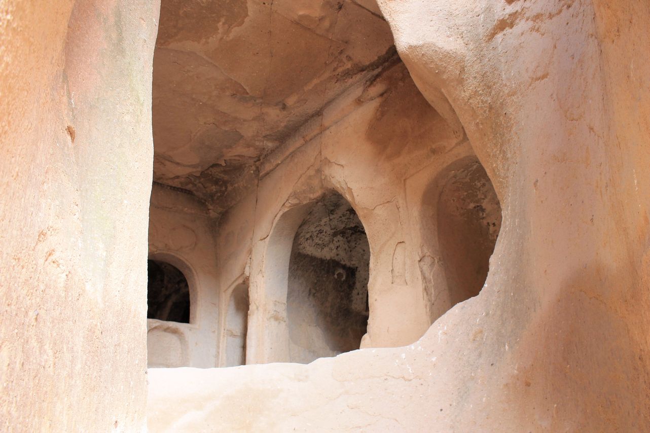
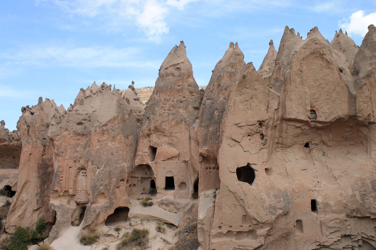
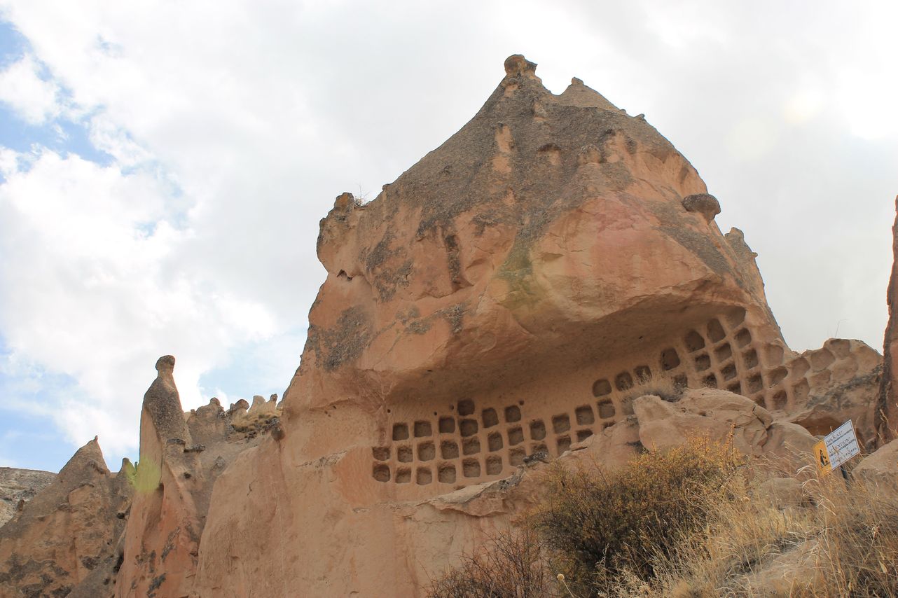
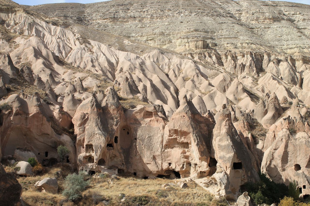
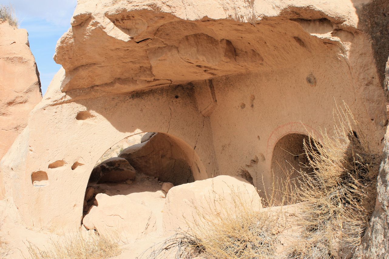
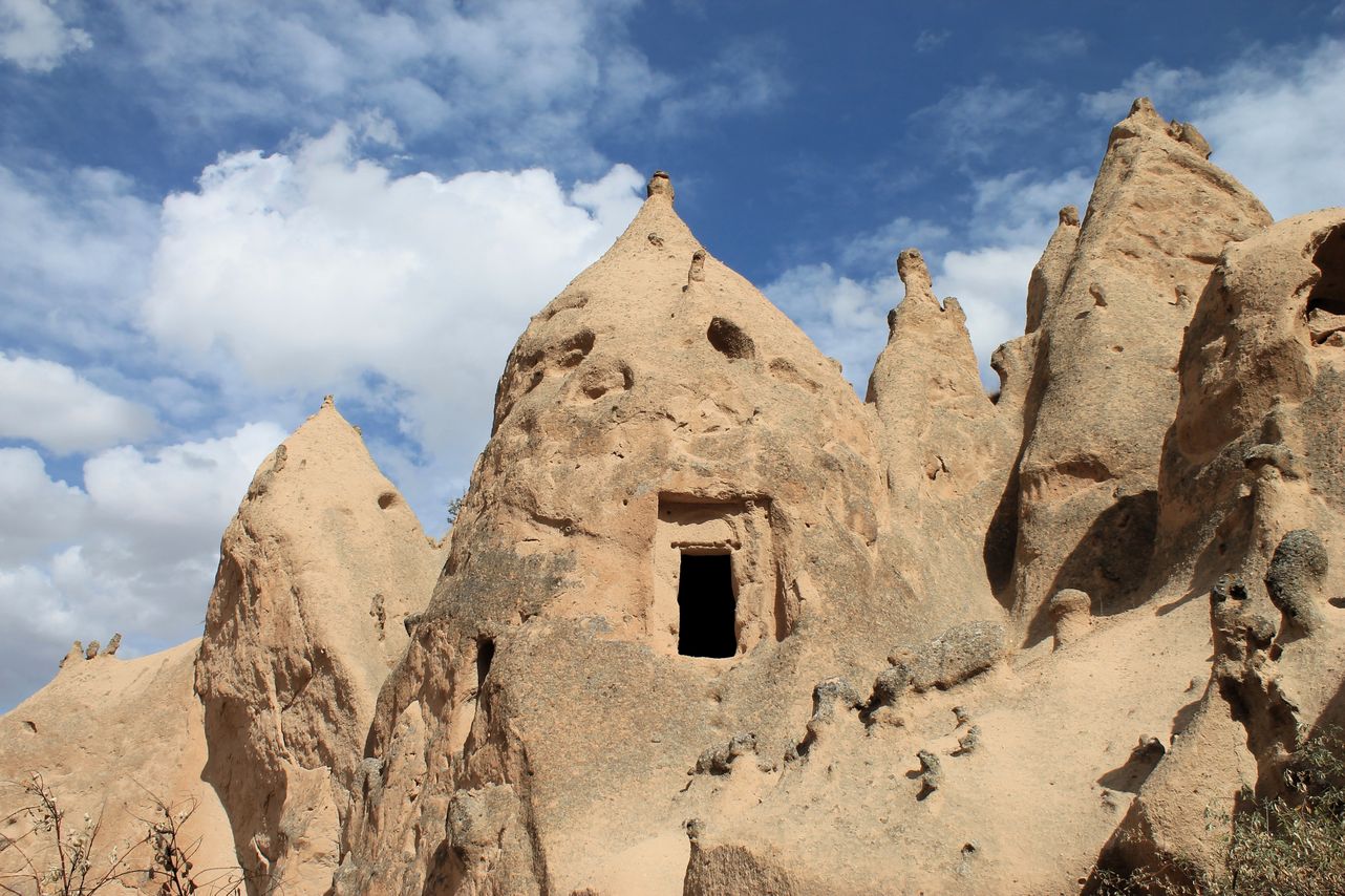
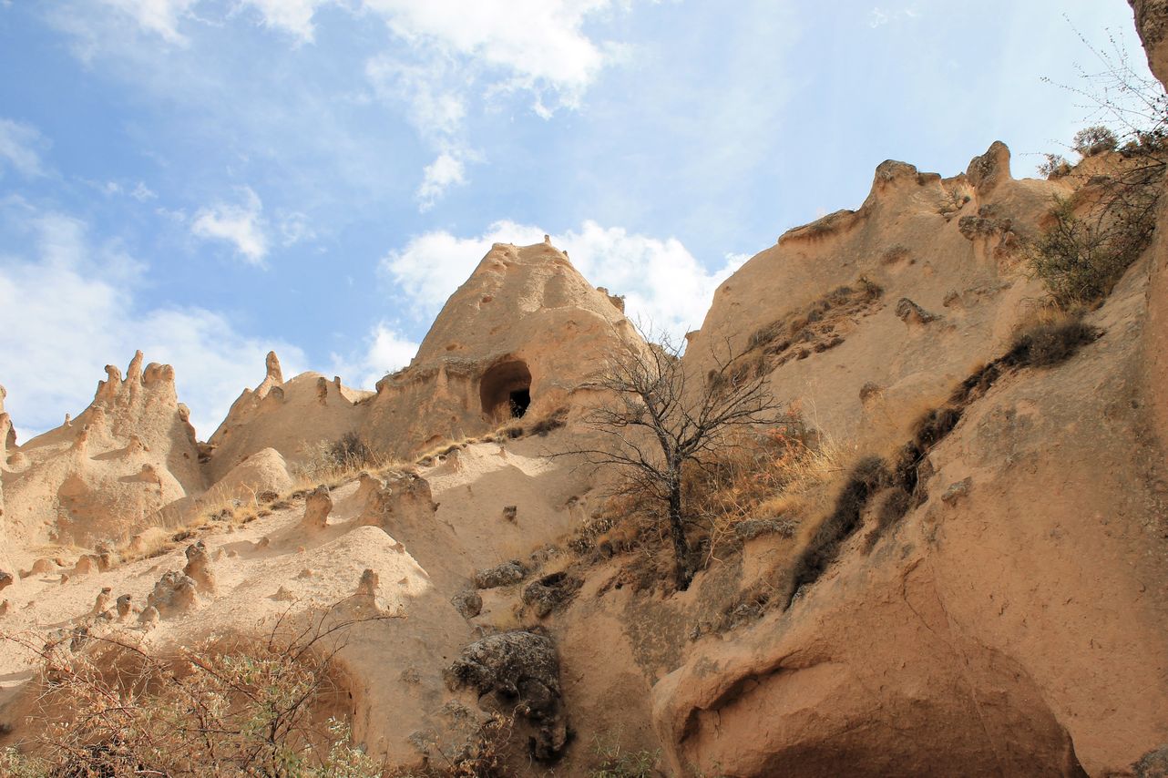
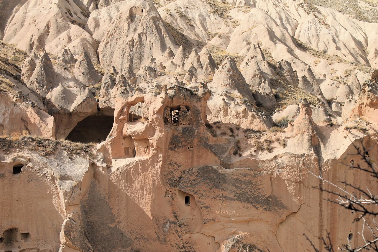
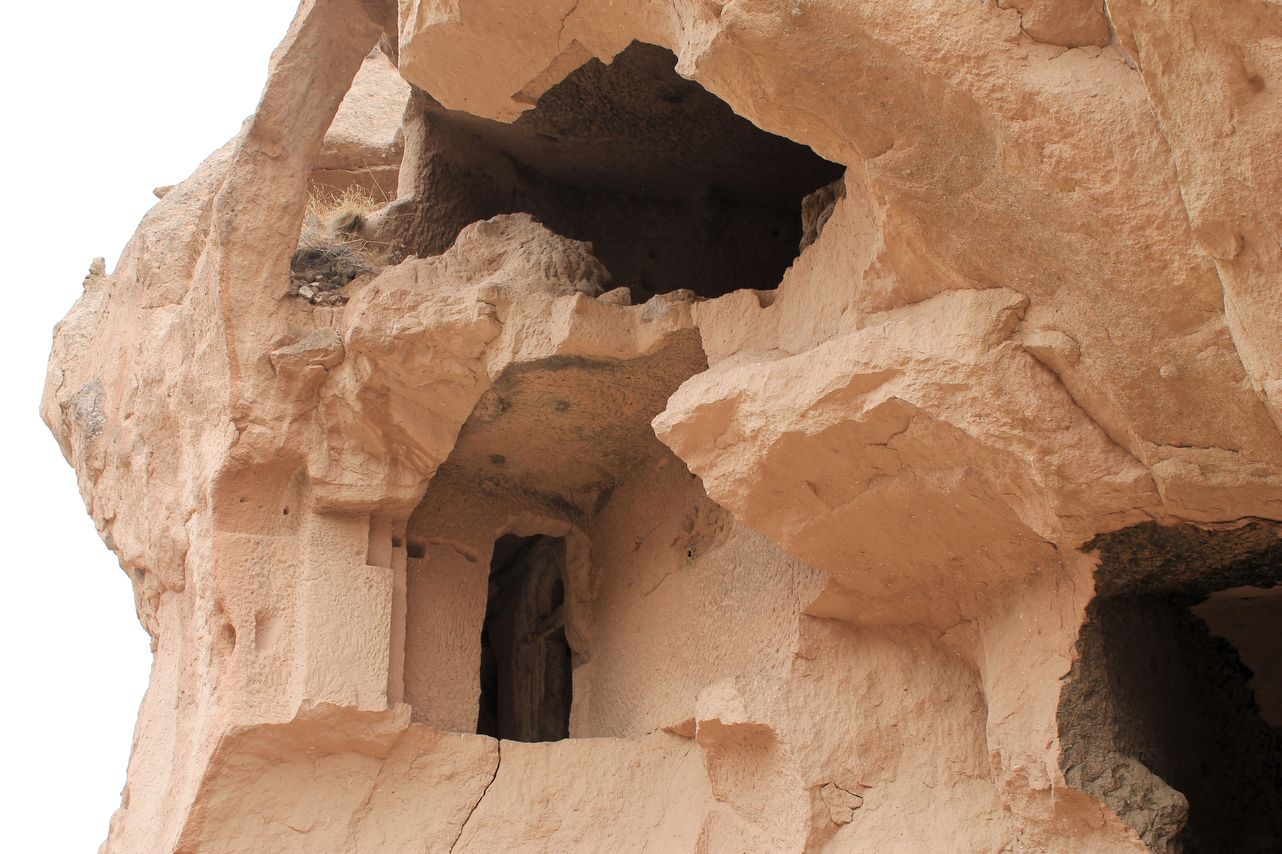
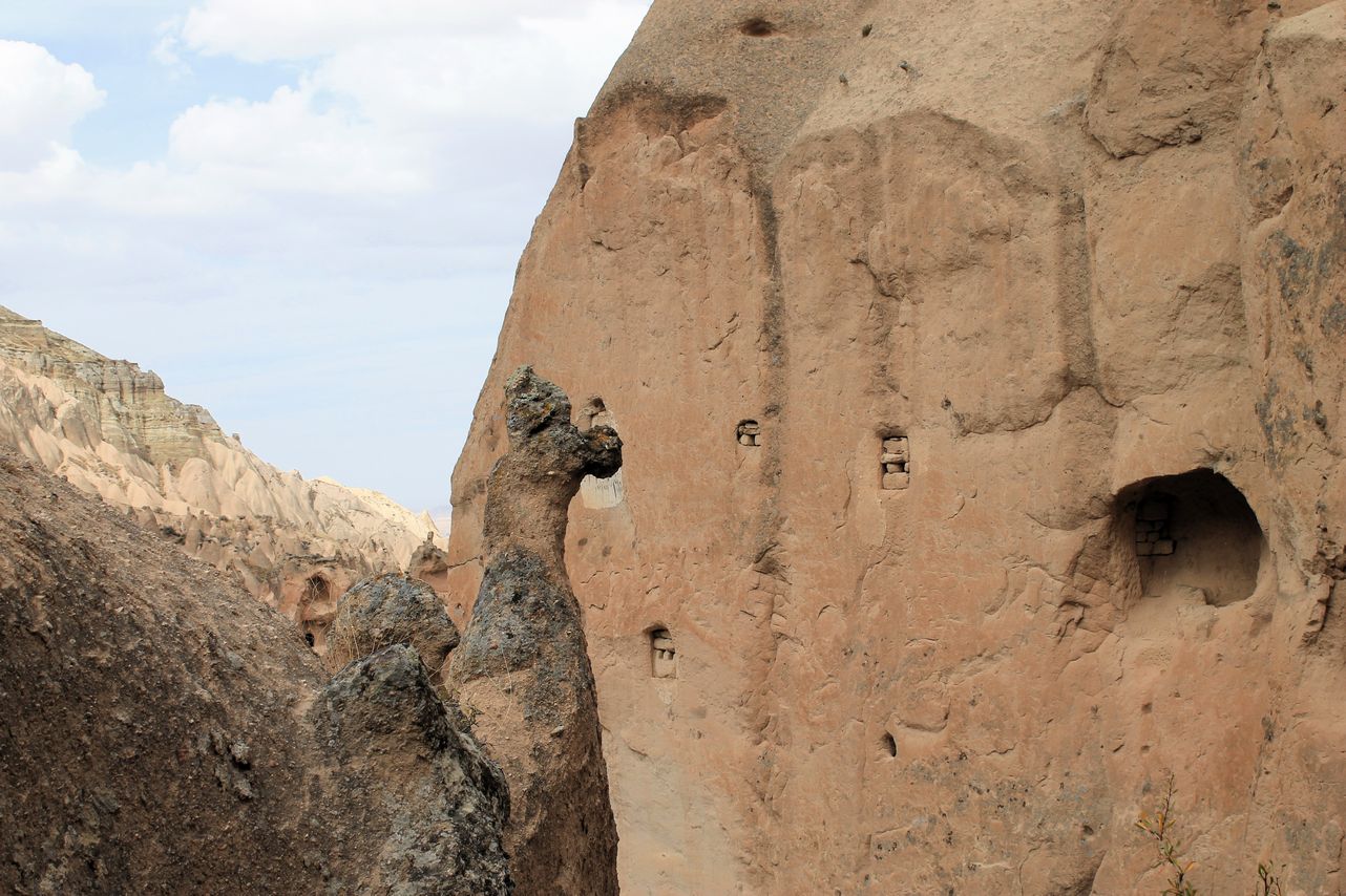
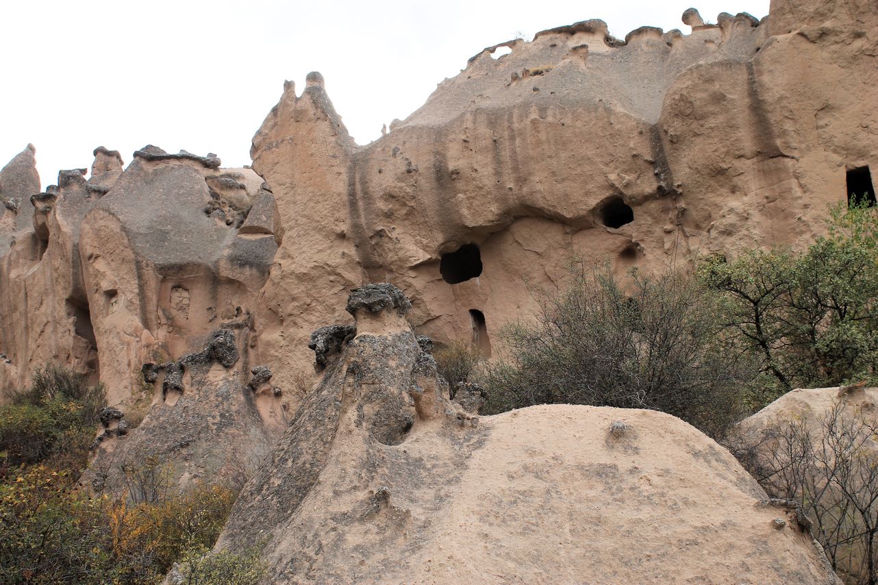
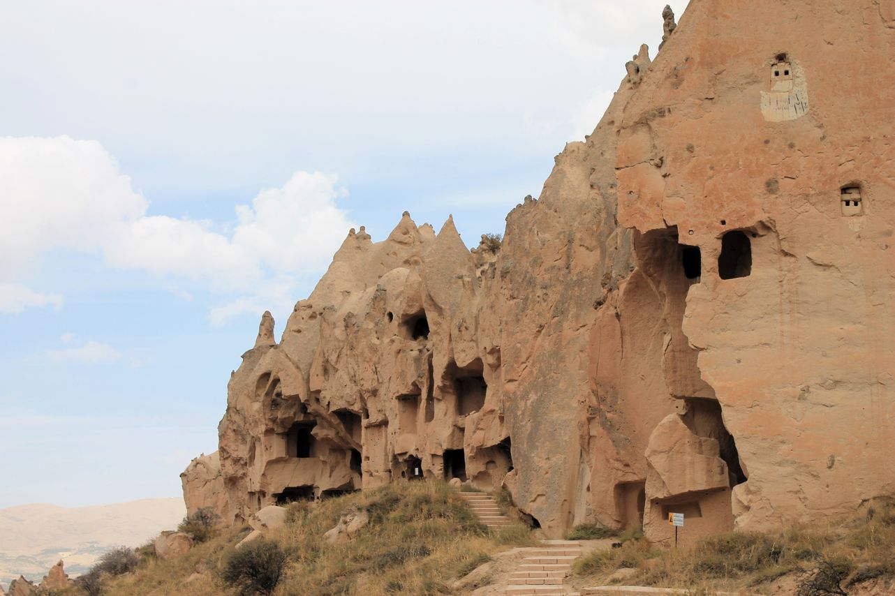
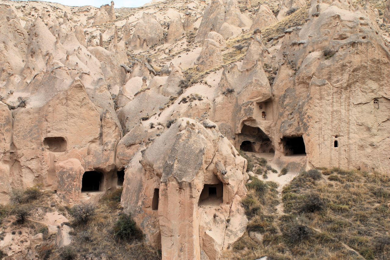
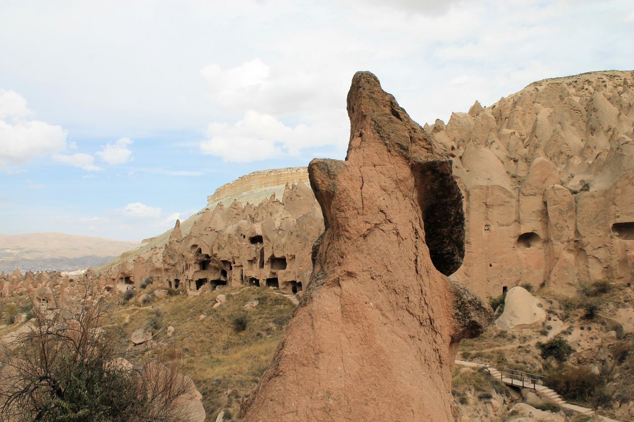
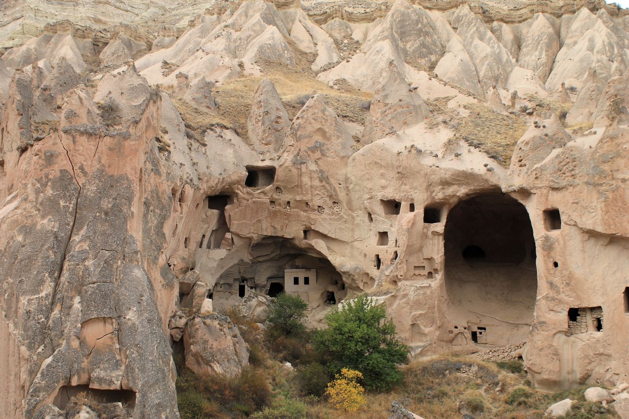
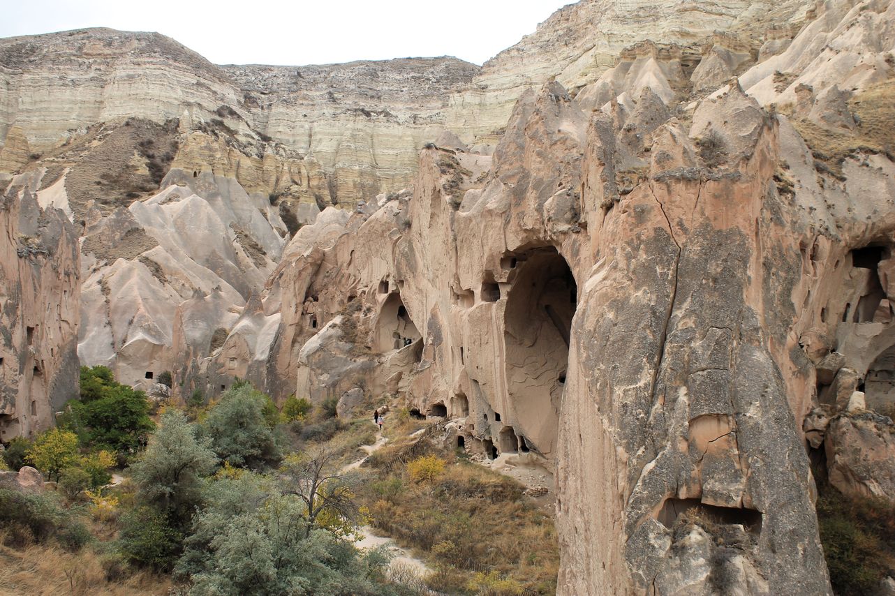
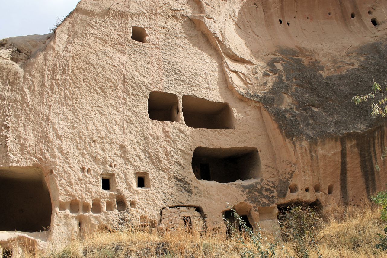
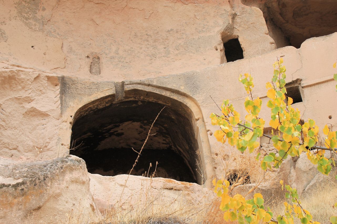
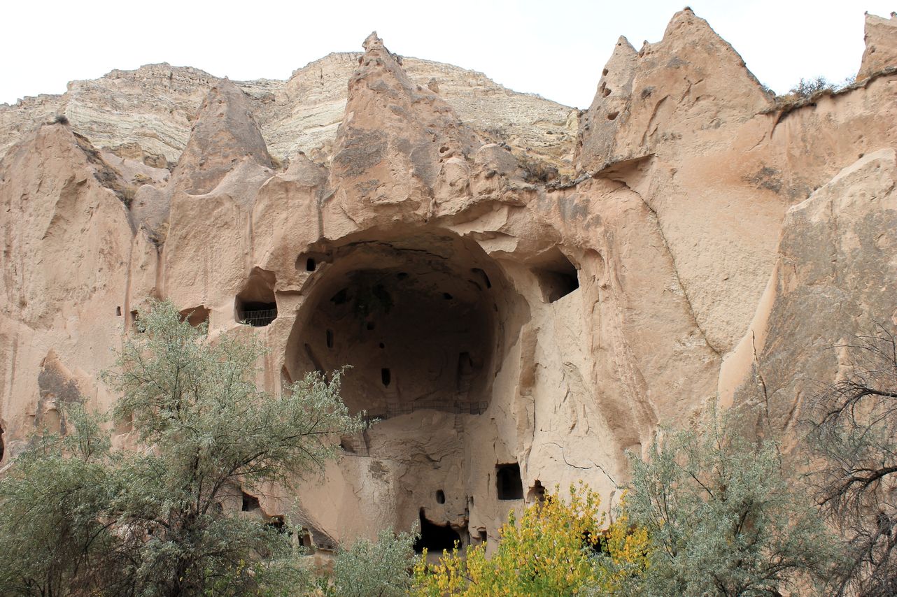
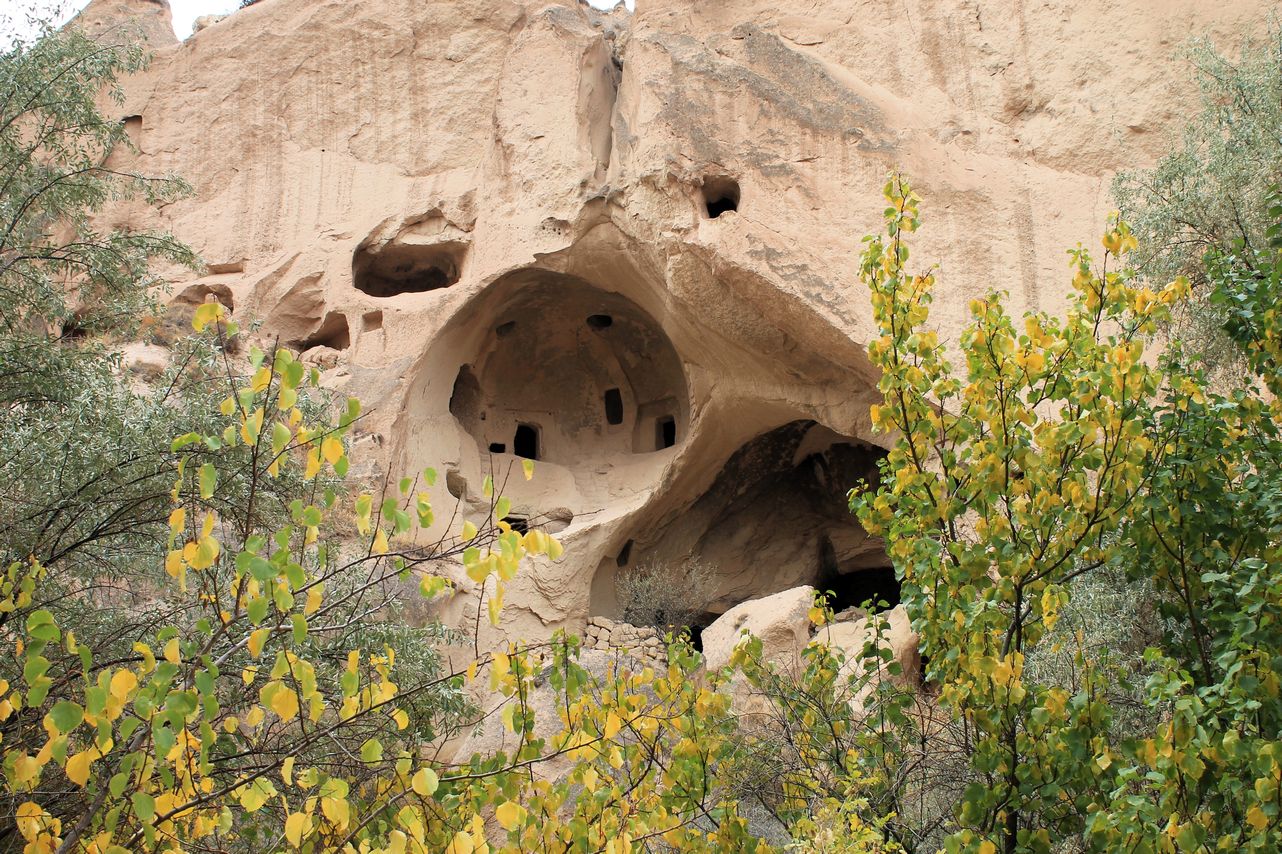
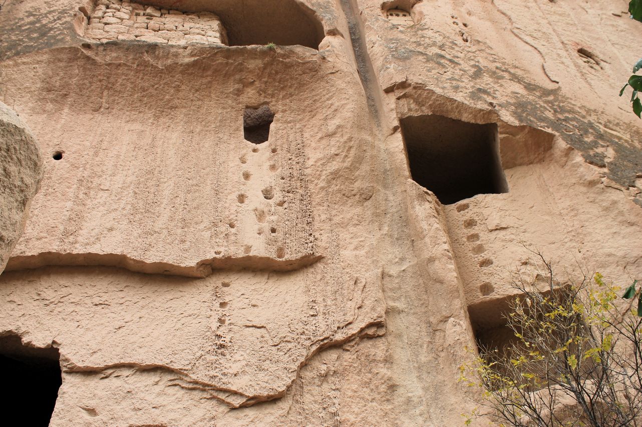
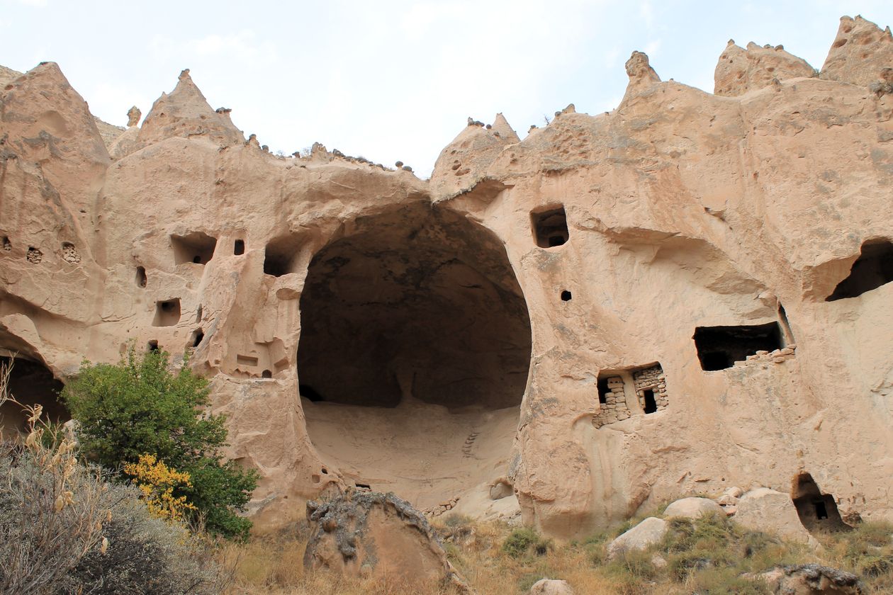
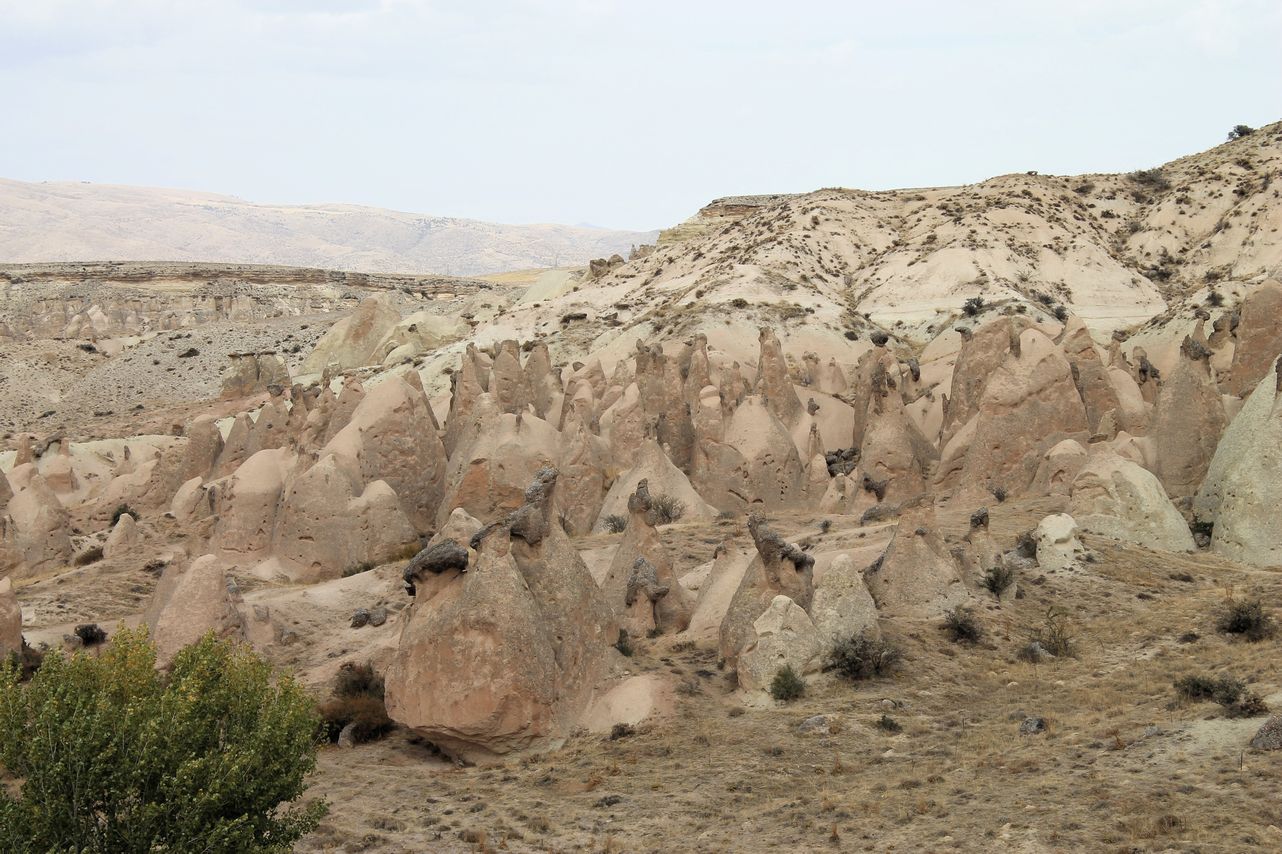
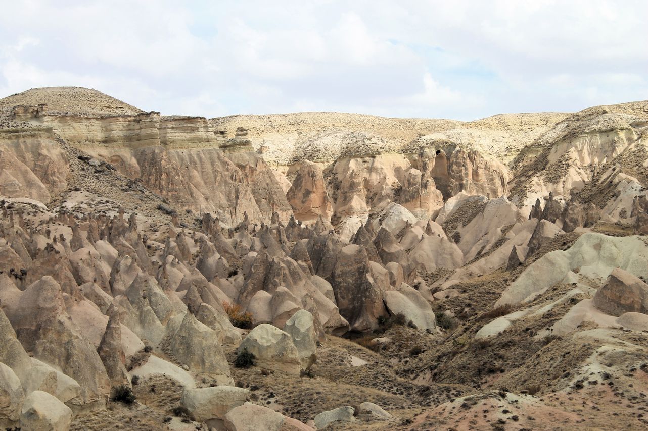
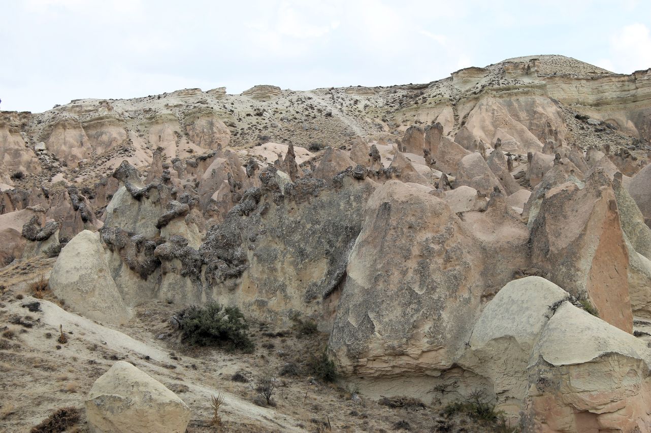
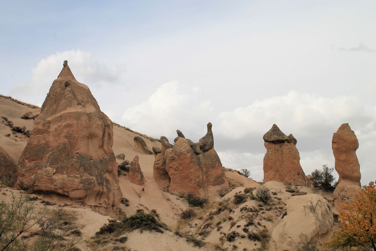
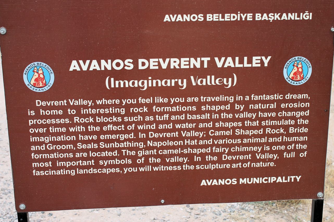
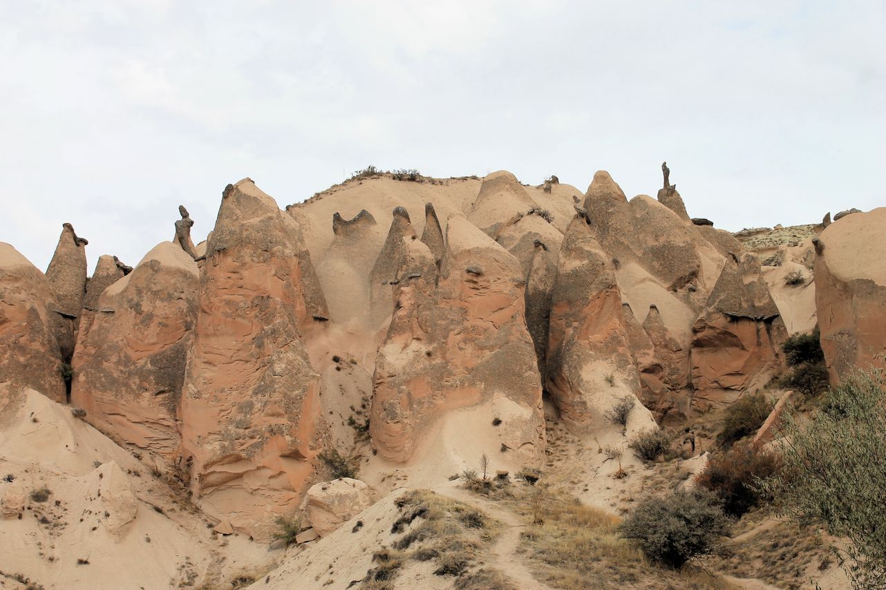
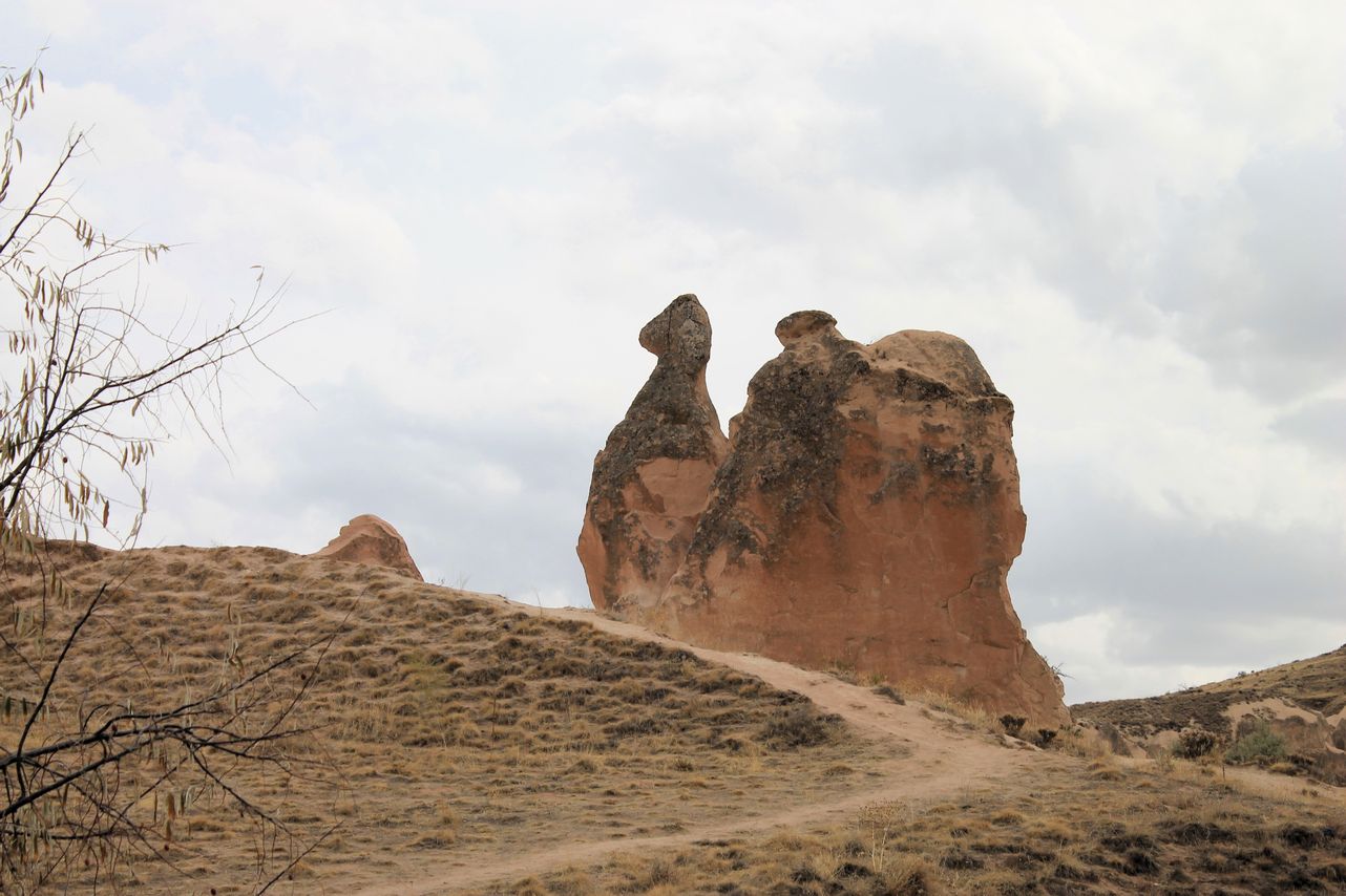
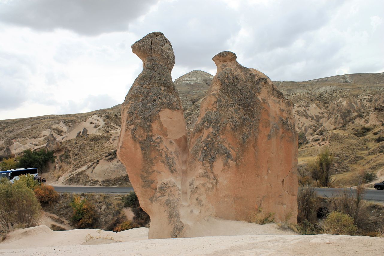
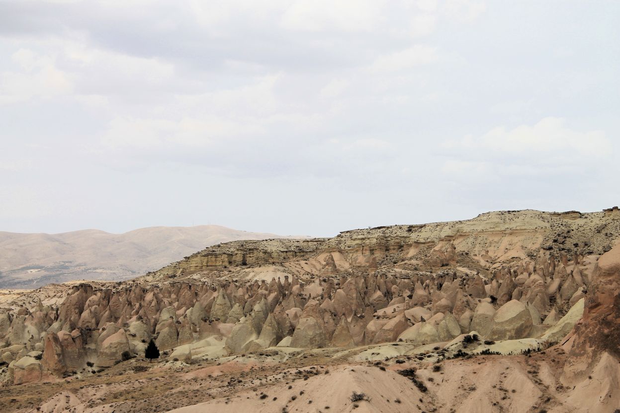
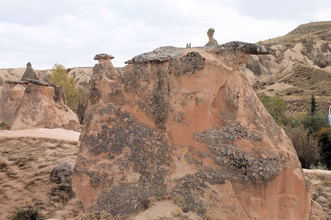
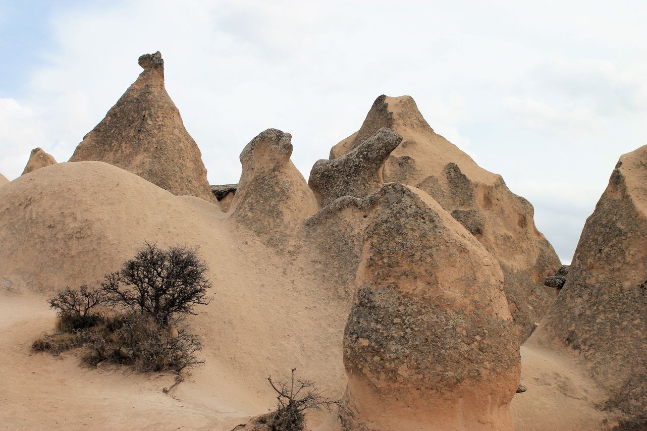
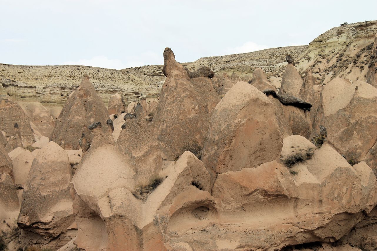
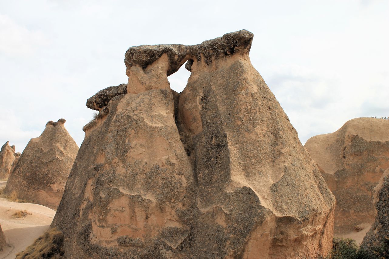
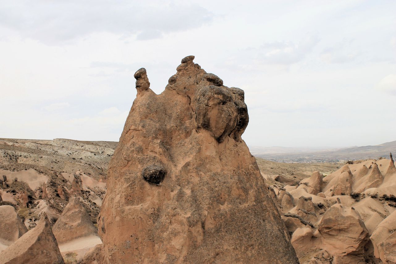
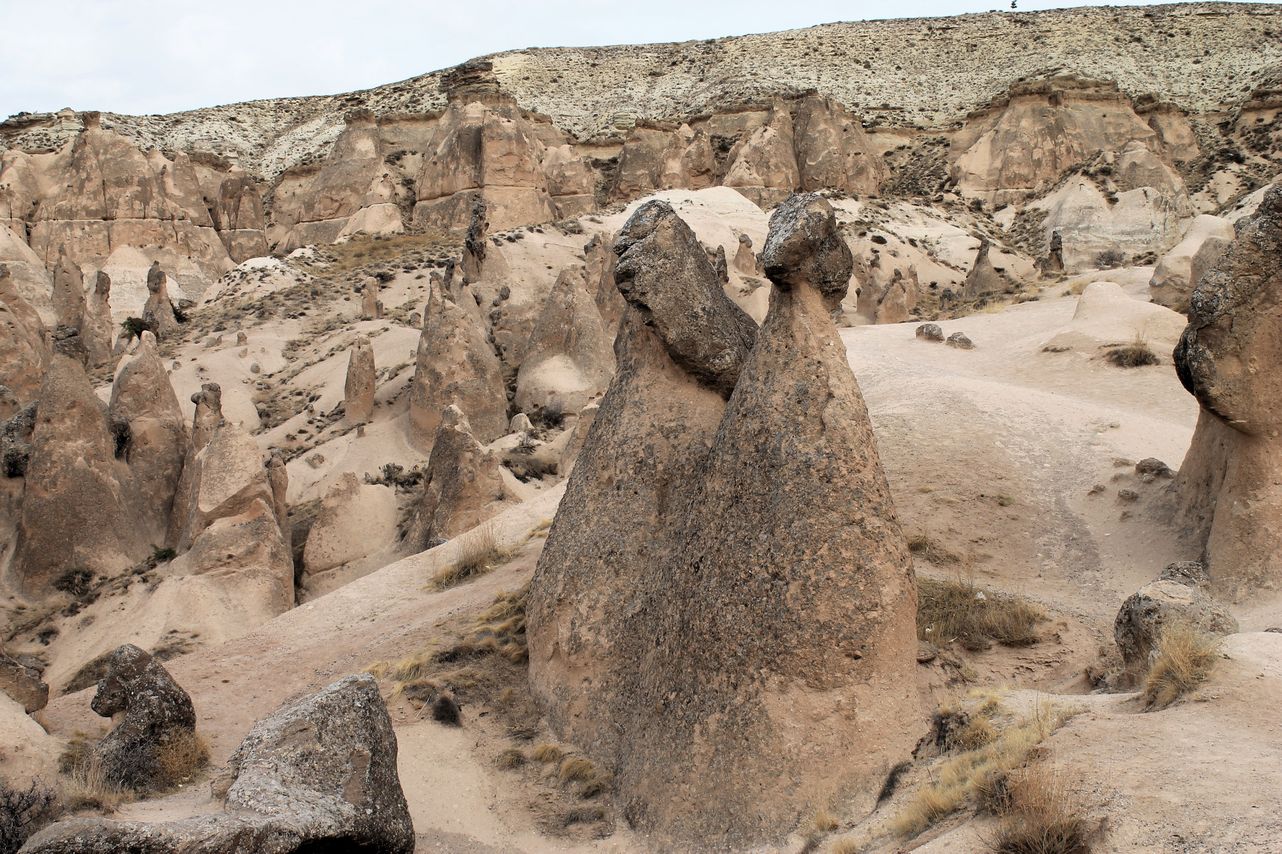
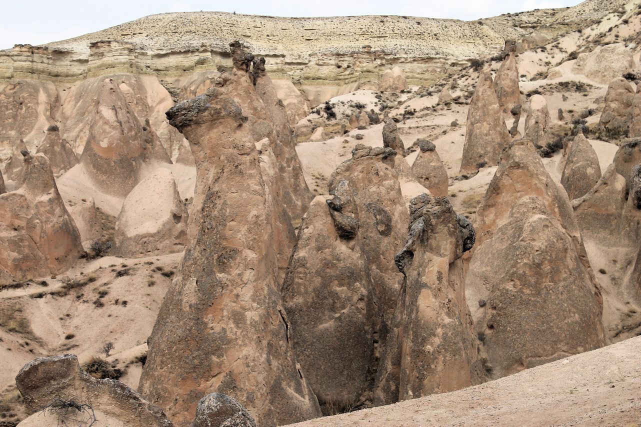
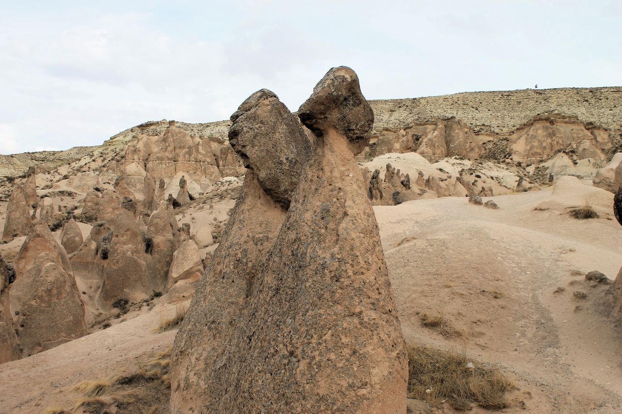
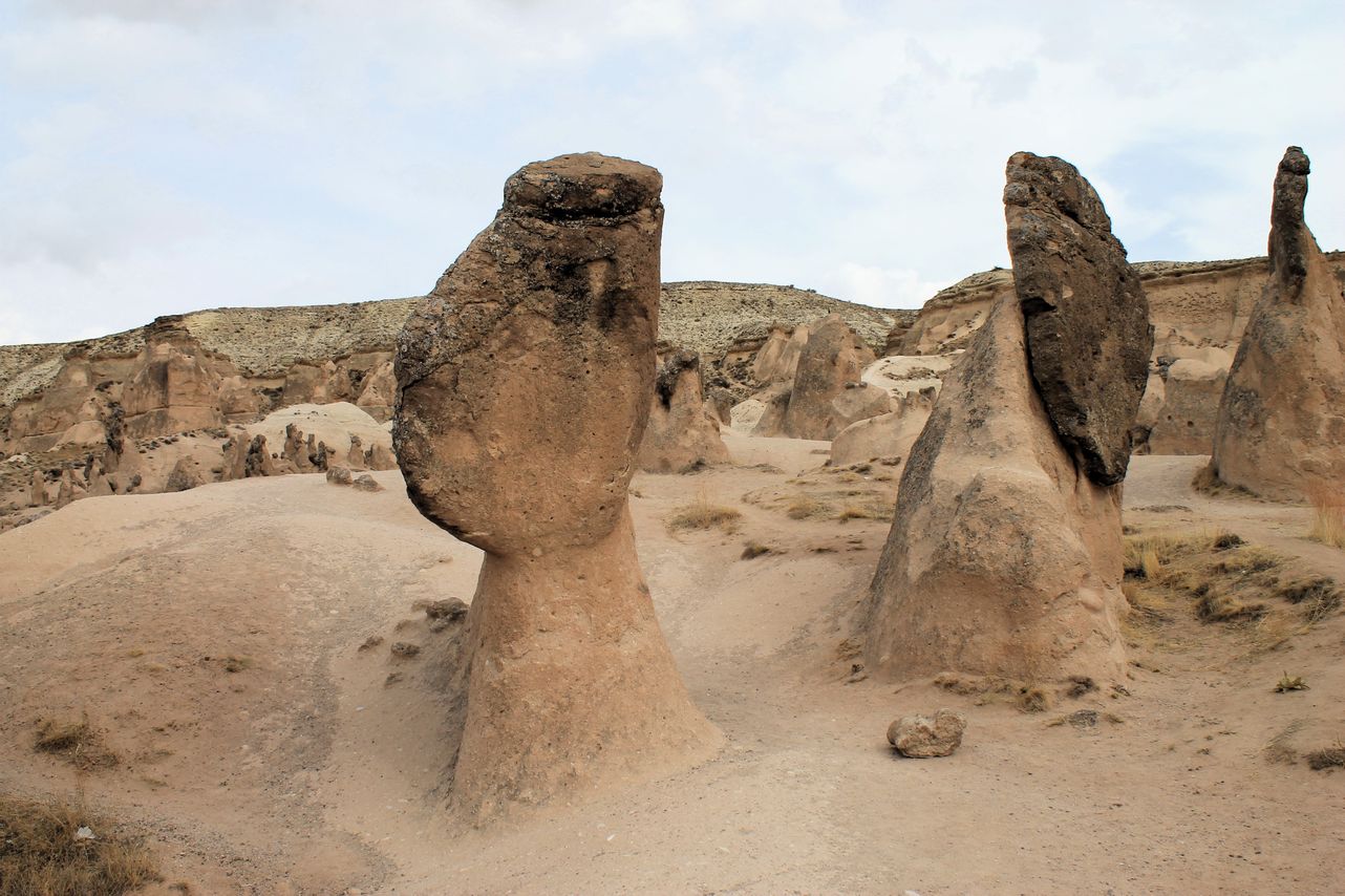
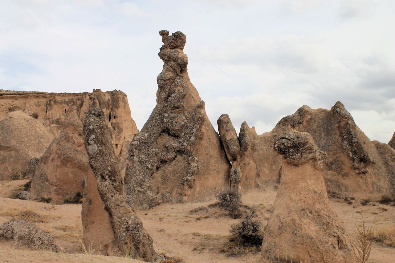
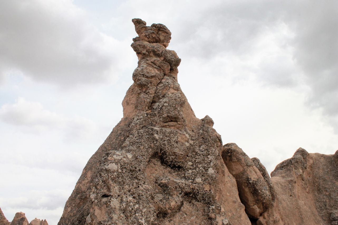
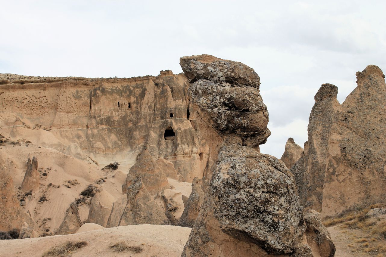
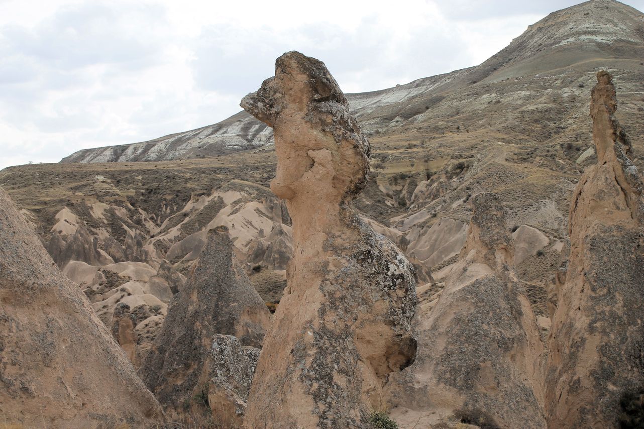
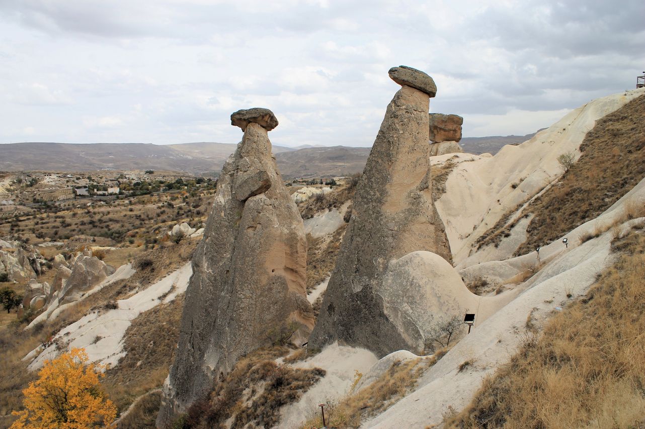
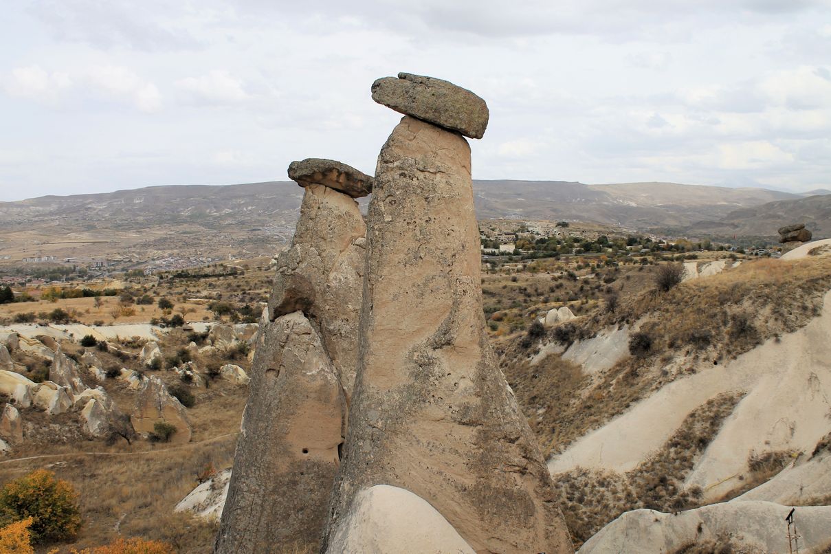
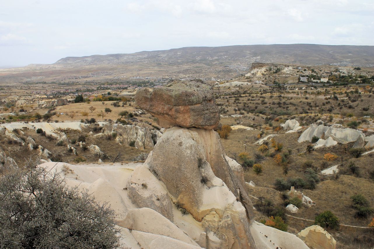
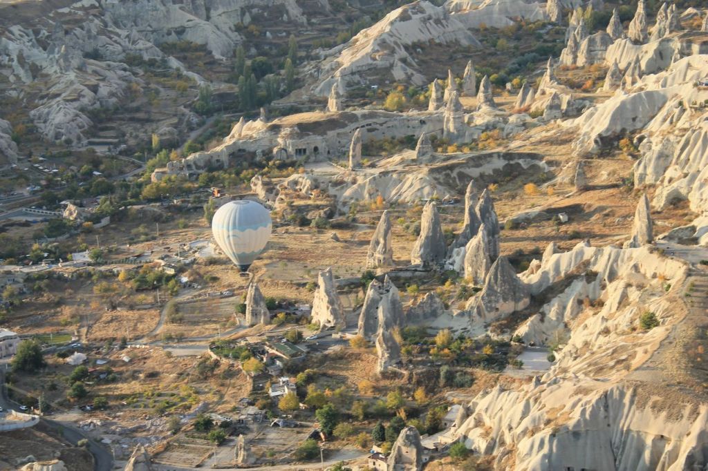
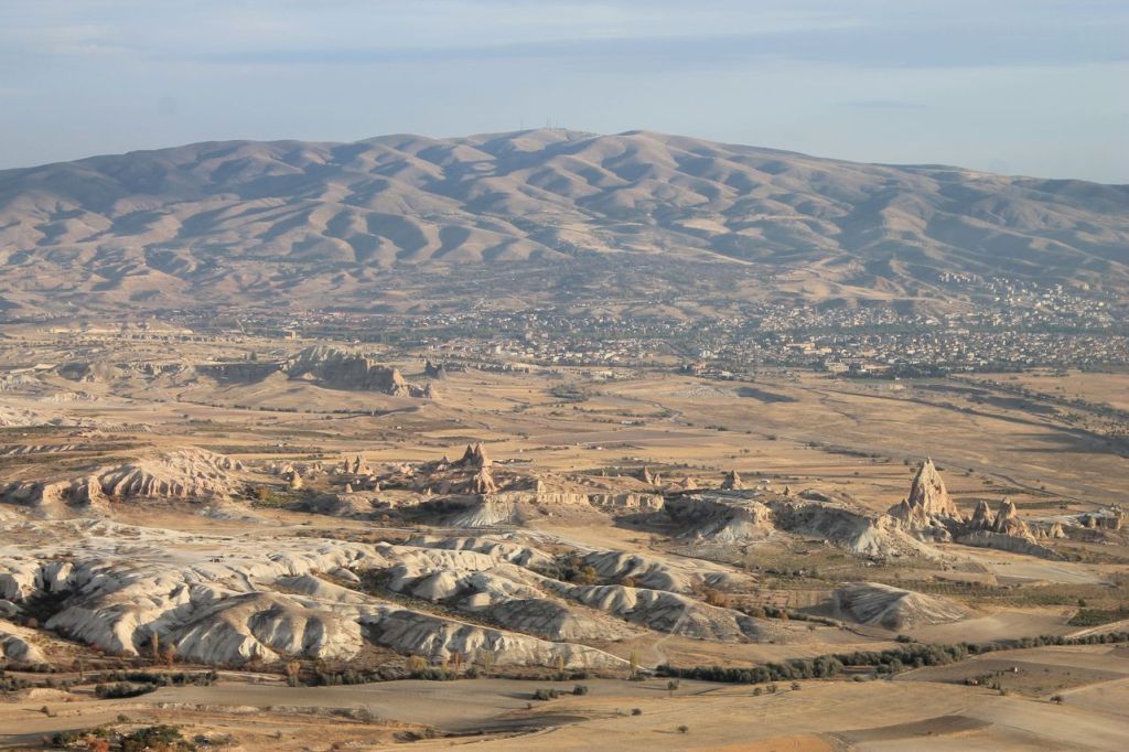
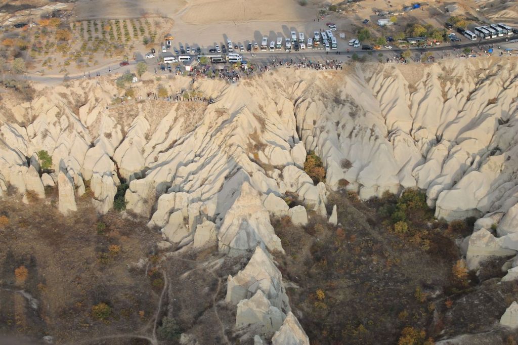
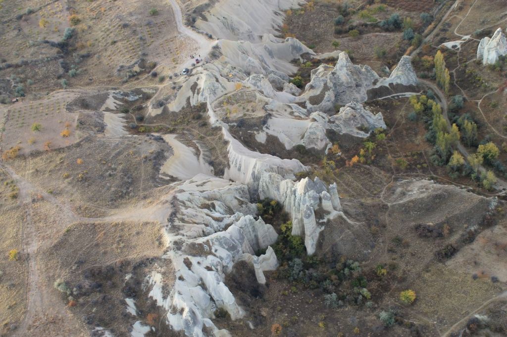
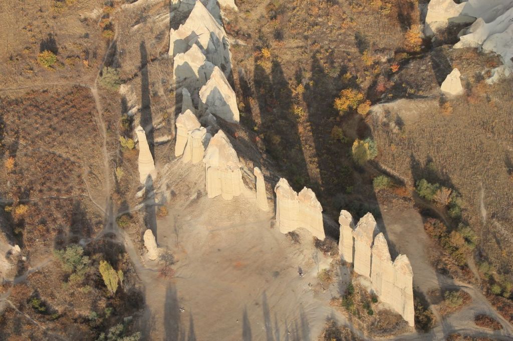
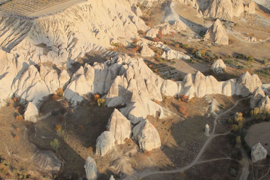
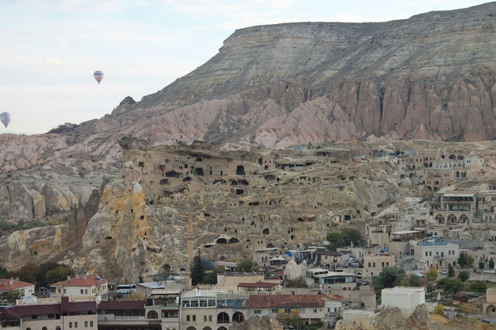
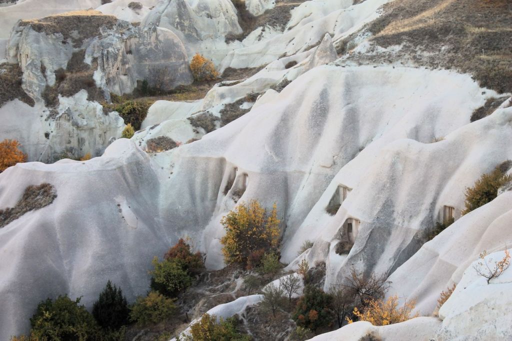
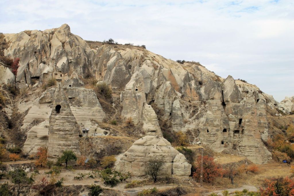
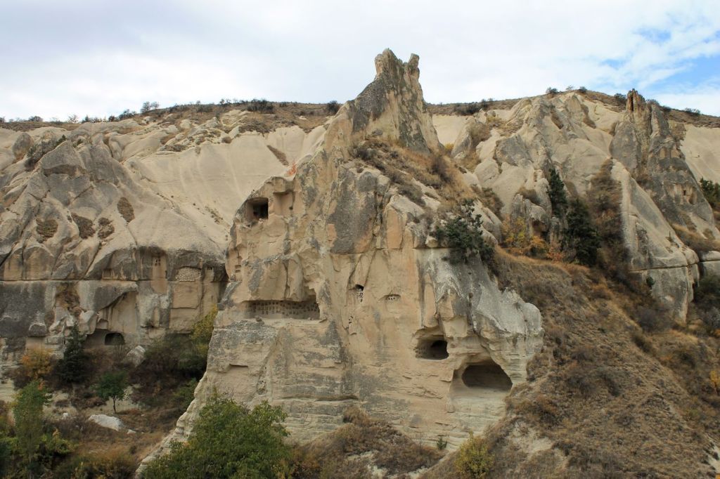
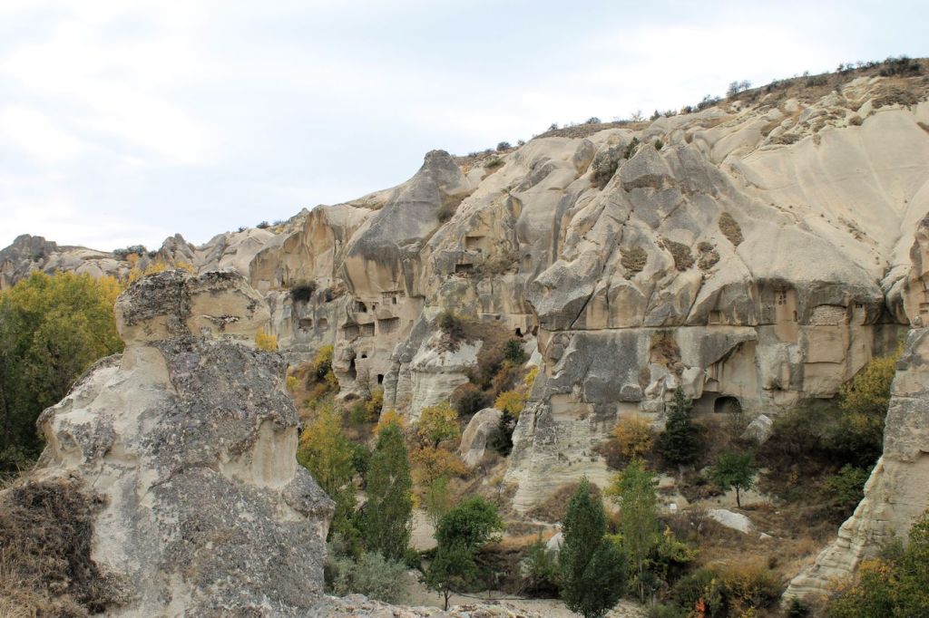
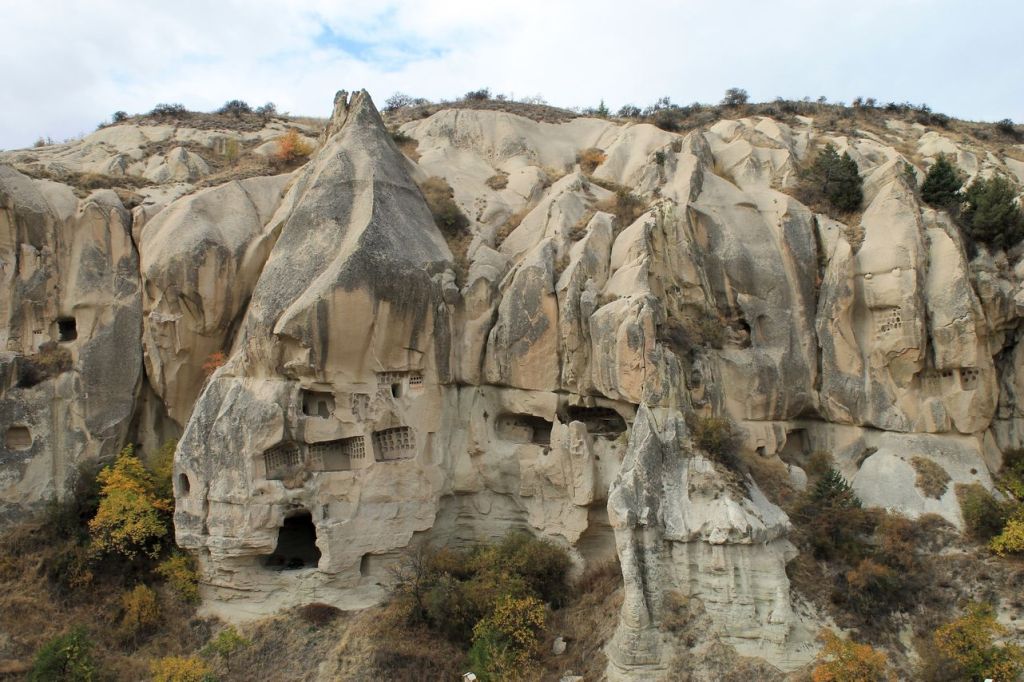
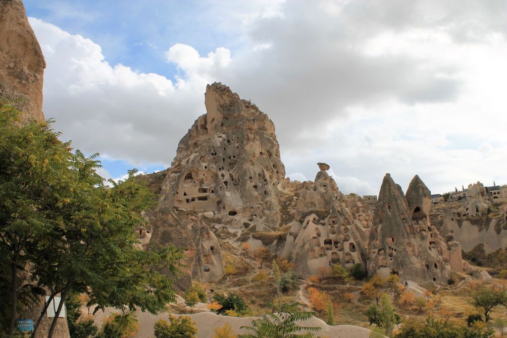
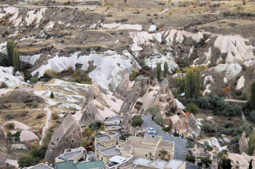
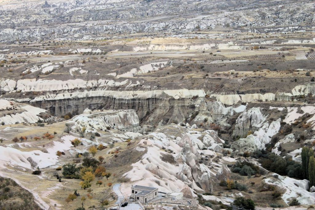
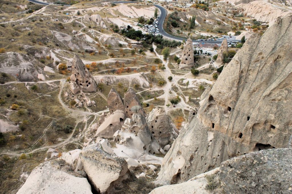
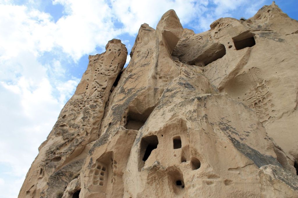
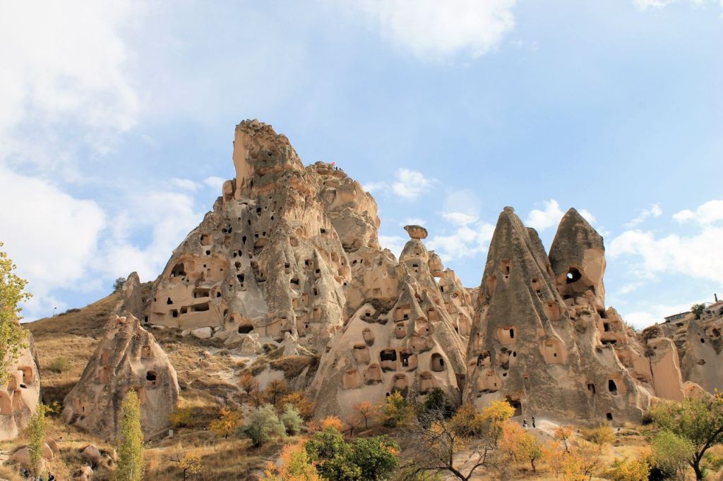
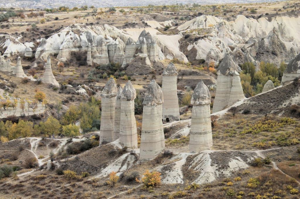
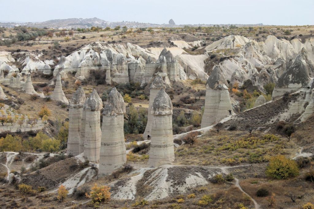
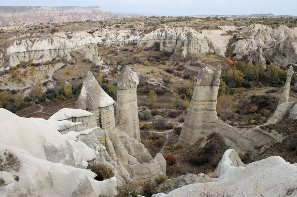
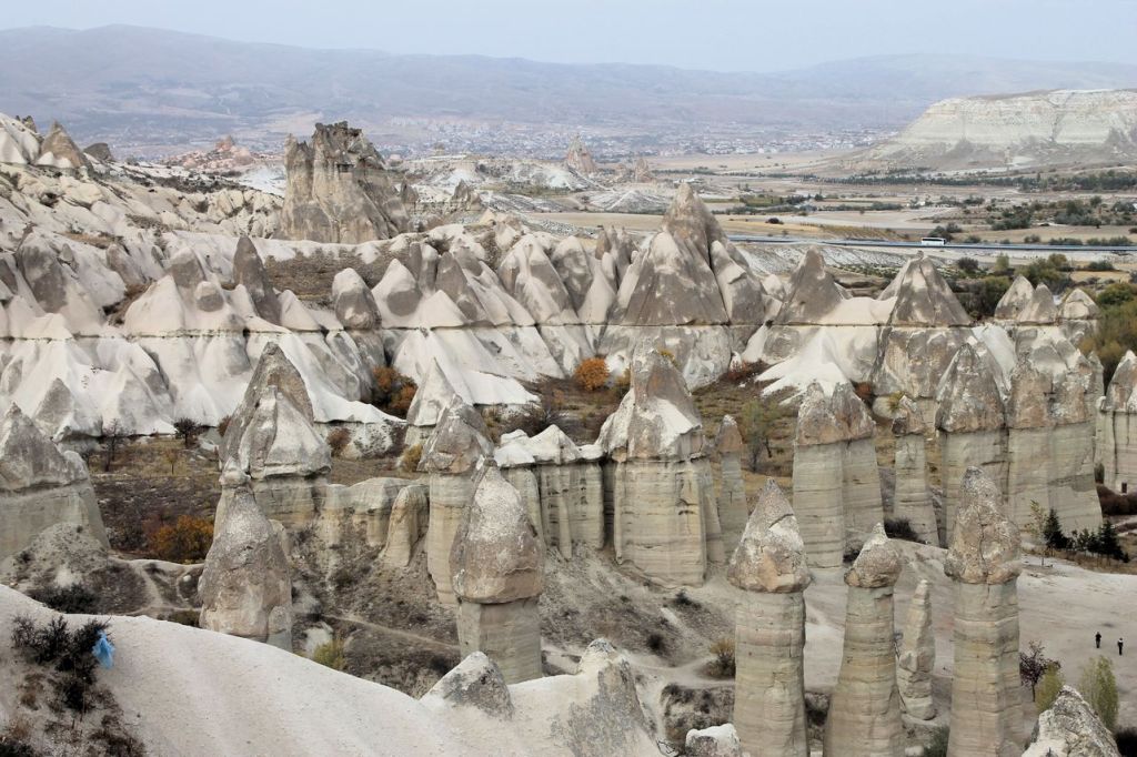
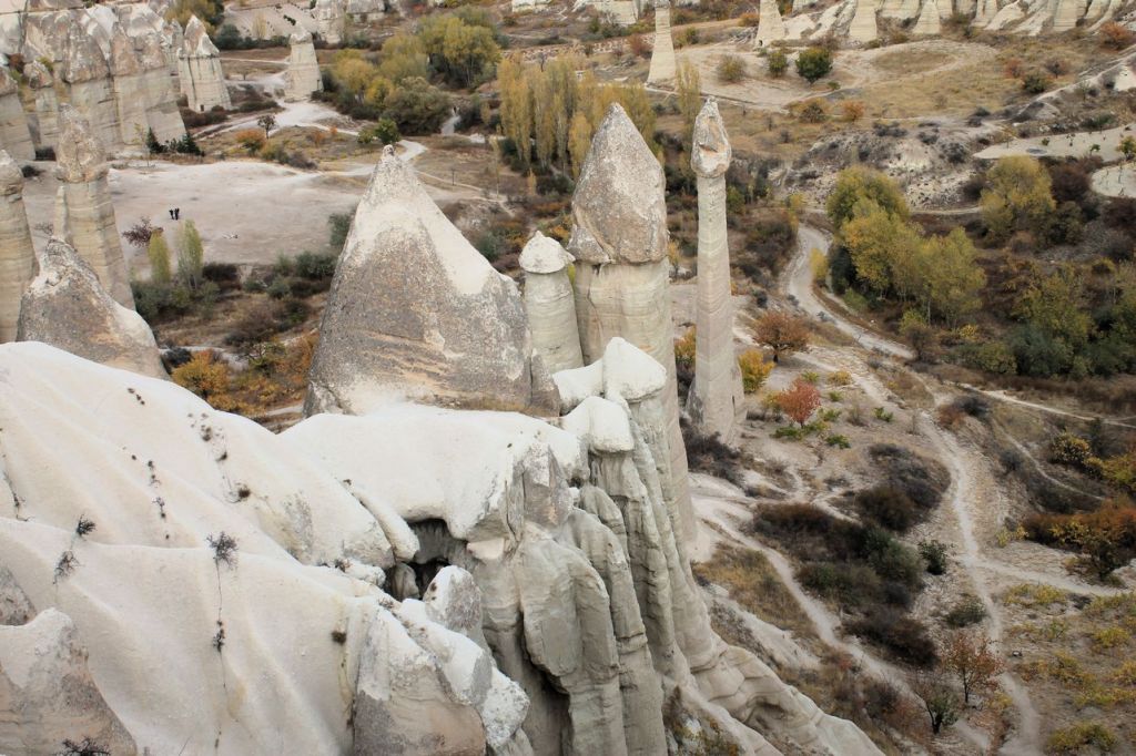
Turkiye. Amazing Cappadocia. Zelve. Imaginary valley.
Third day in Cappadocia we planned to visit a lot of wonderful places (naive) We moved to Avanos town direction. First stop for photo session was near Chavushin town. Simply stop and shot!
After that we moved to Zelve open air museum. Fairy chimneys are there! 😍 And Devrent vadisi ( Imaginary valley ) and more and more… But time and energy are not endless. So, when we reached “Three beauties” near Uchhisar town, we took them simply as more rocks, nothing more (facepalm). Two-three days for Cappadocia is too few.

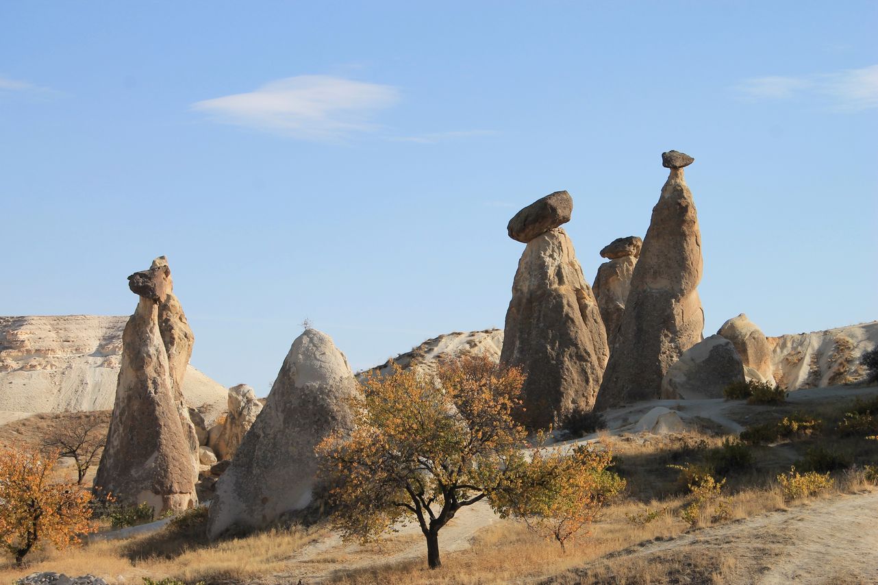
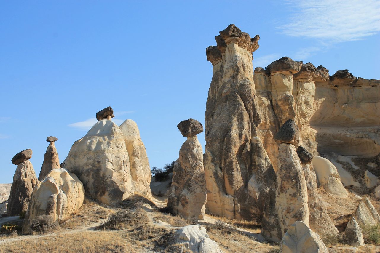
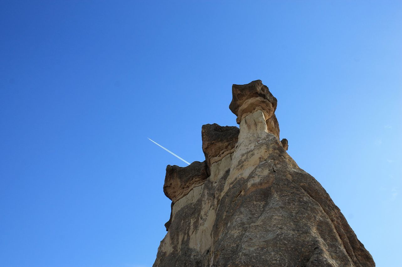
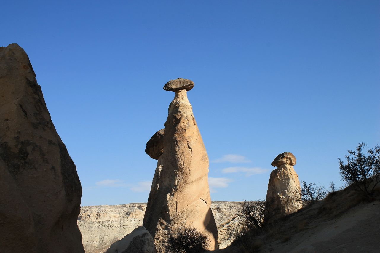


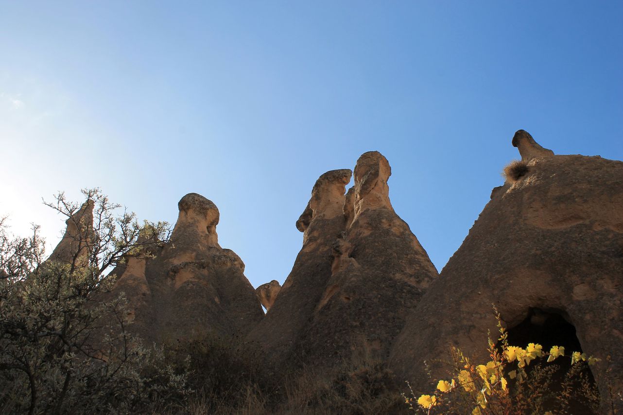
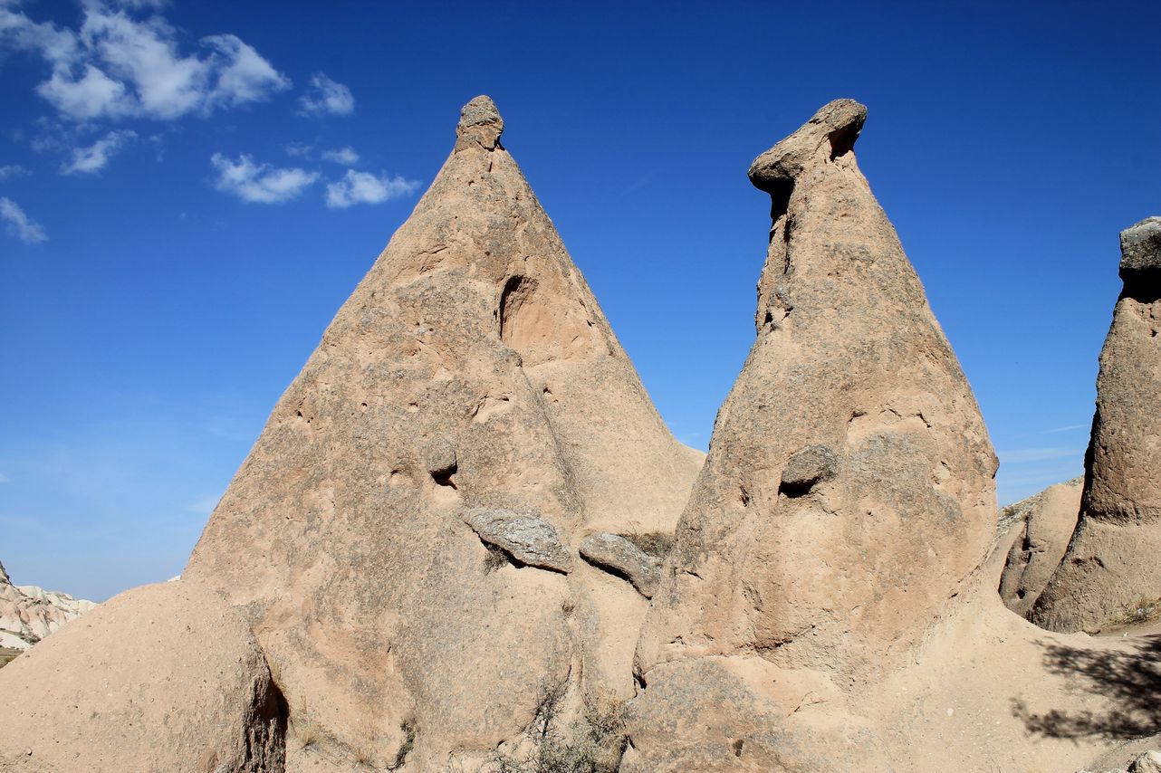

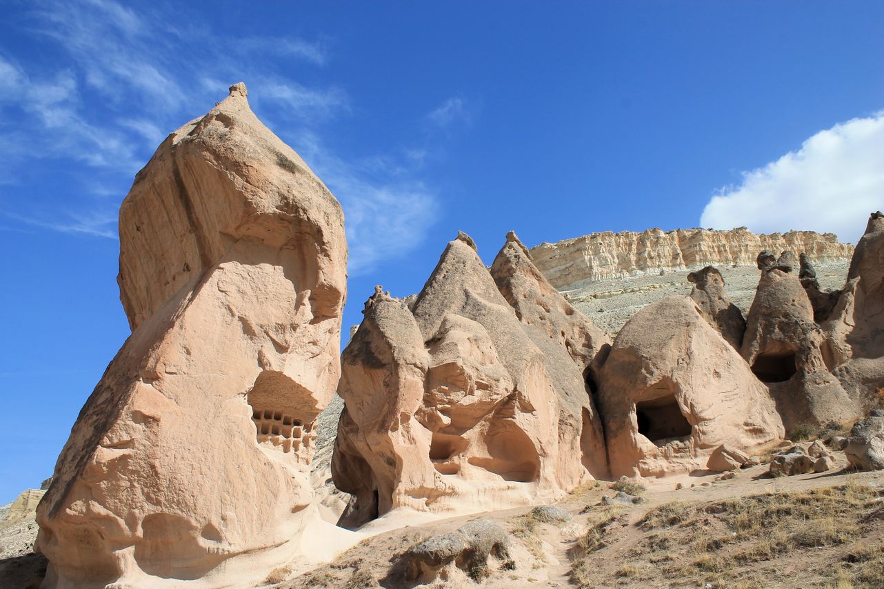
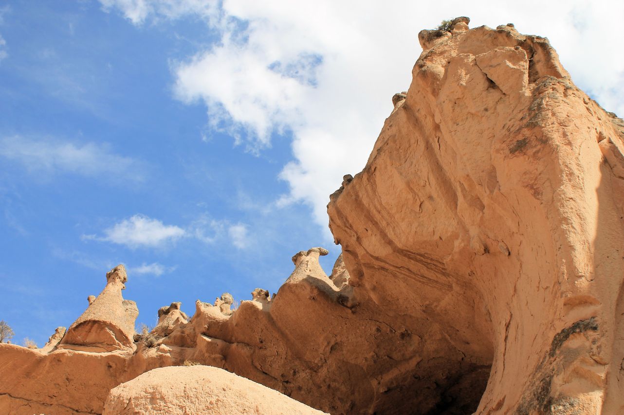

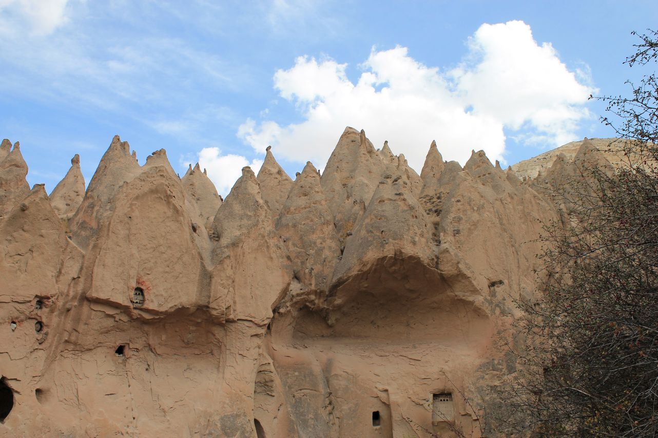
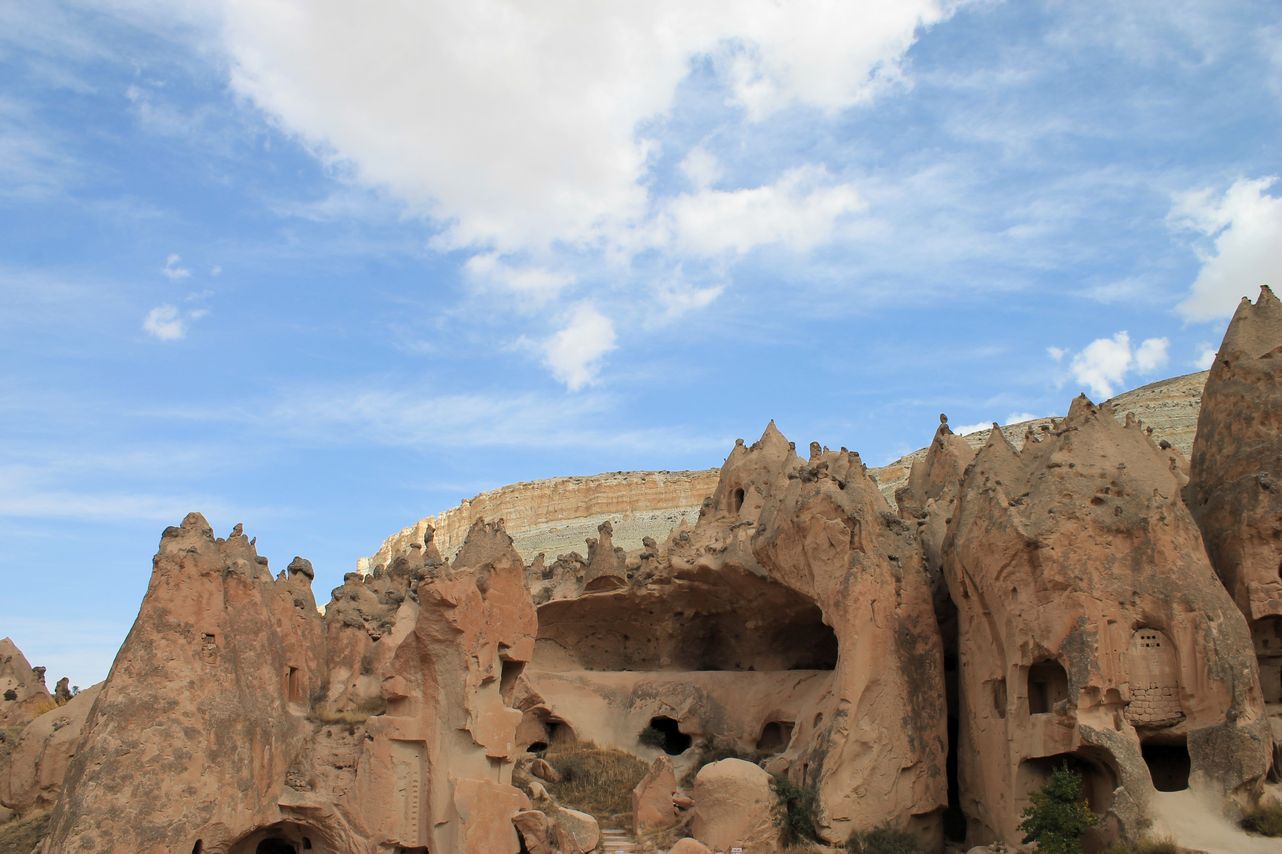


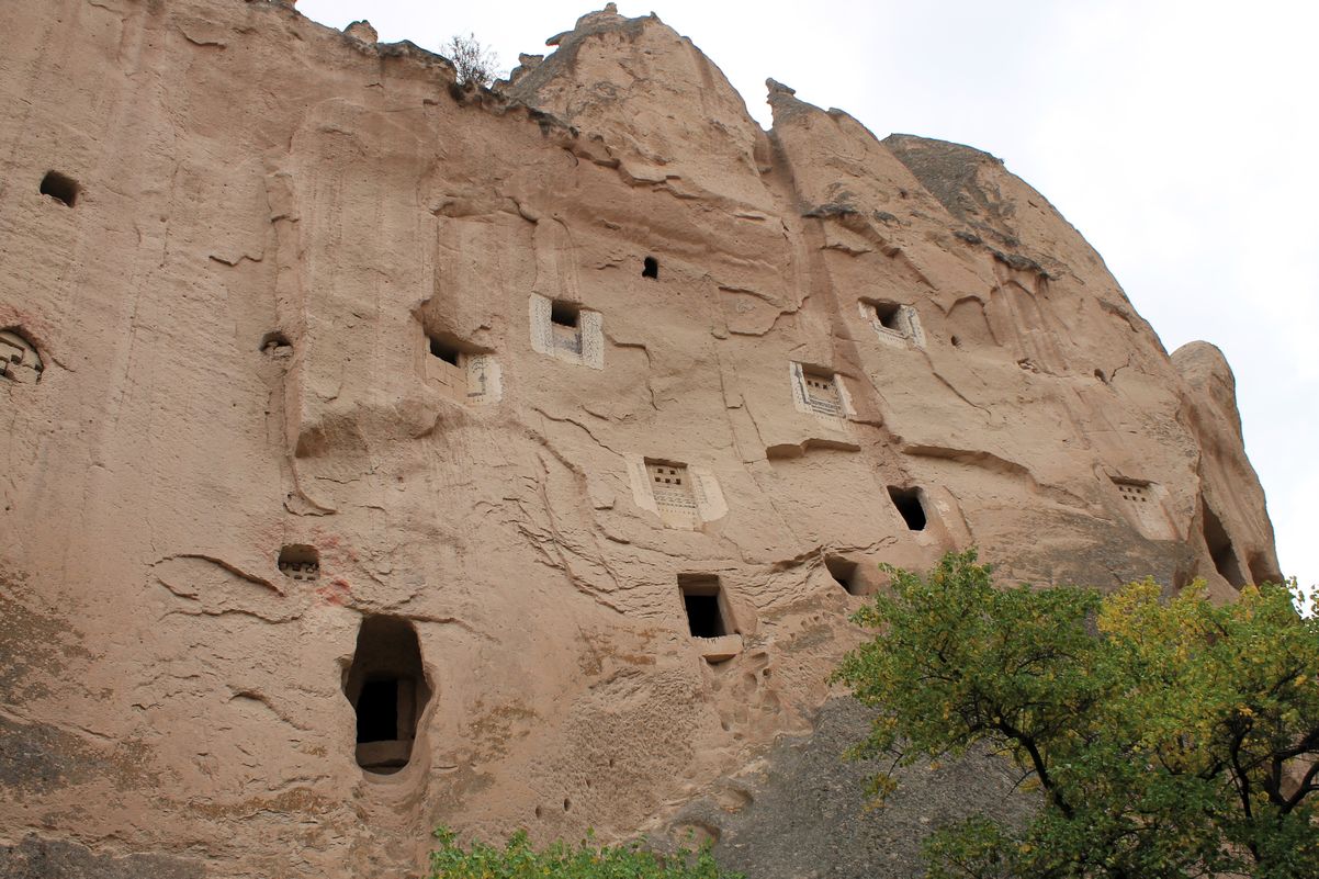
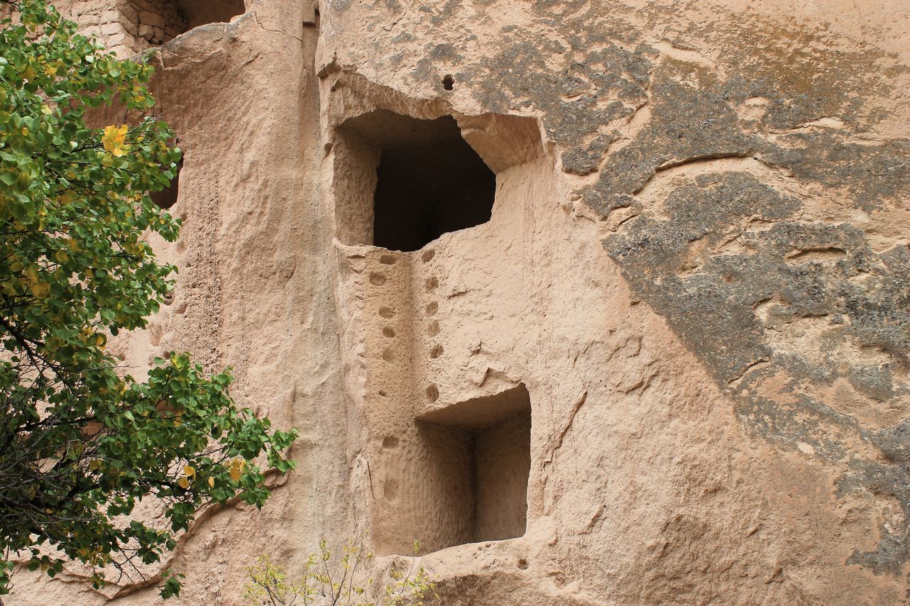
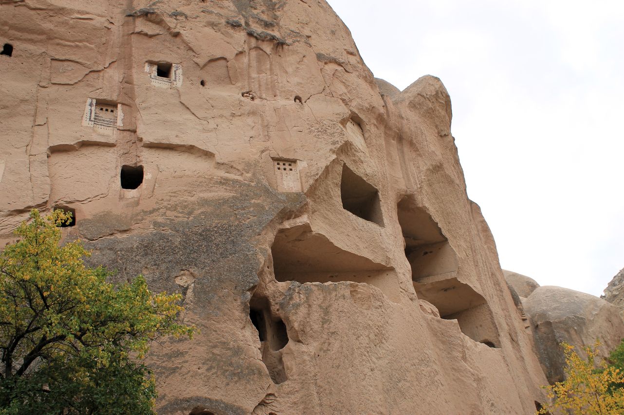
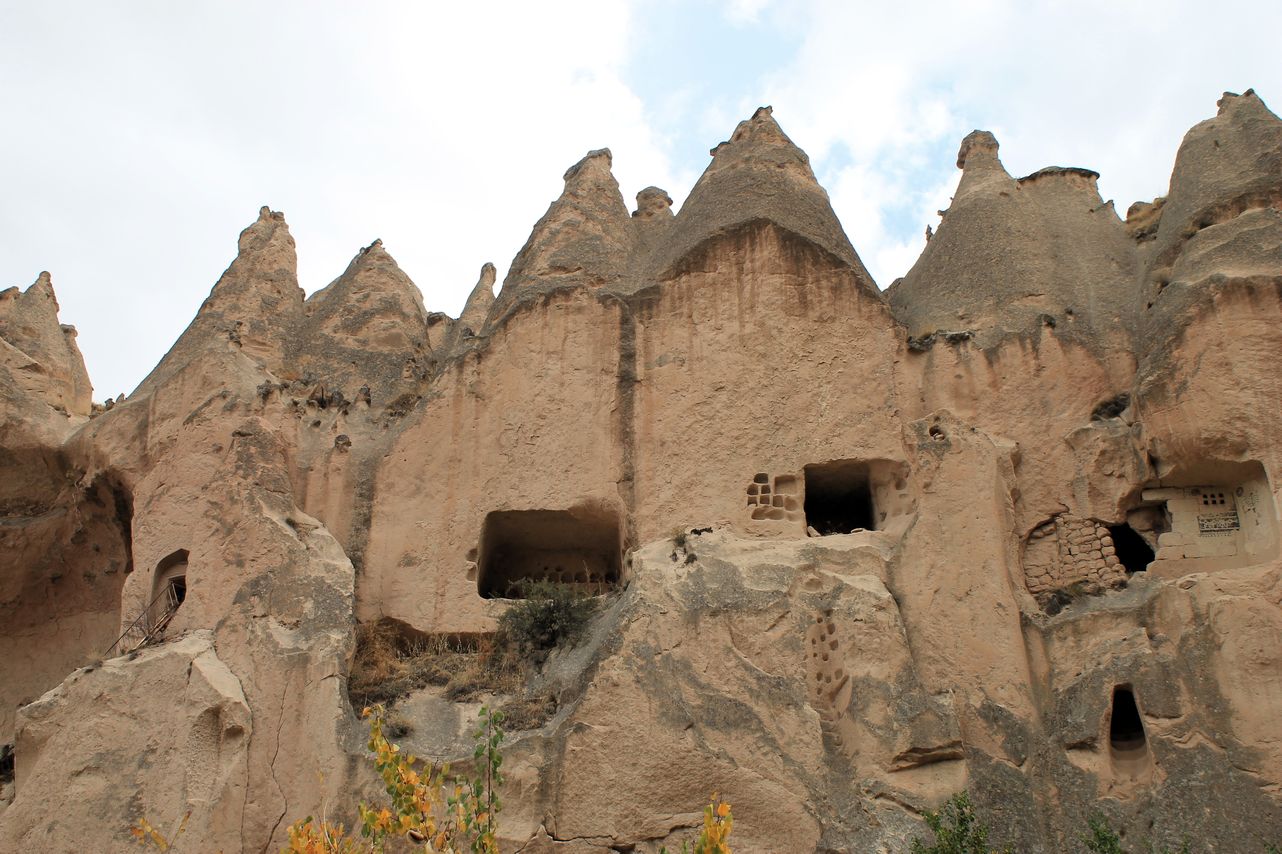

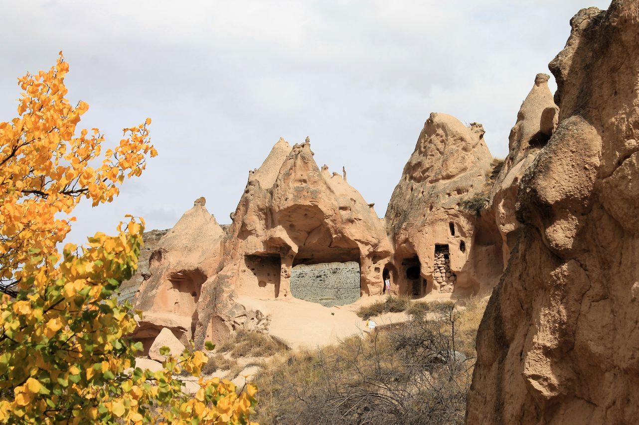
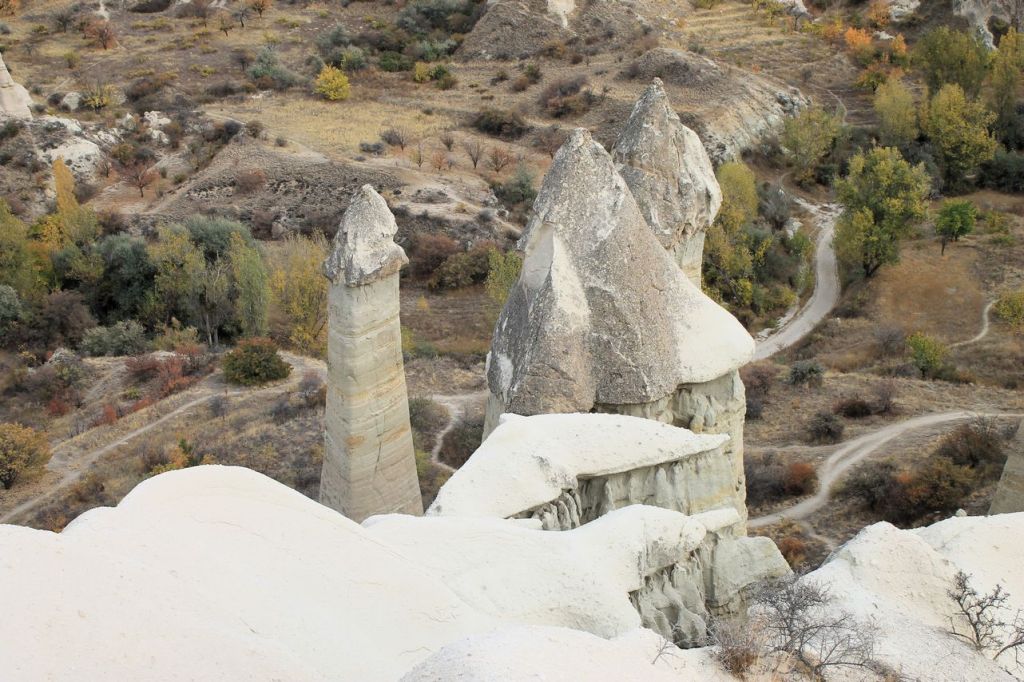
Imaginary valley. Uchhisar – “Three beauties“.


-
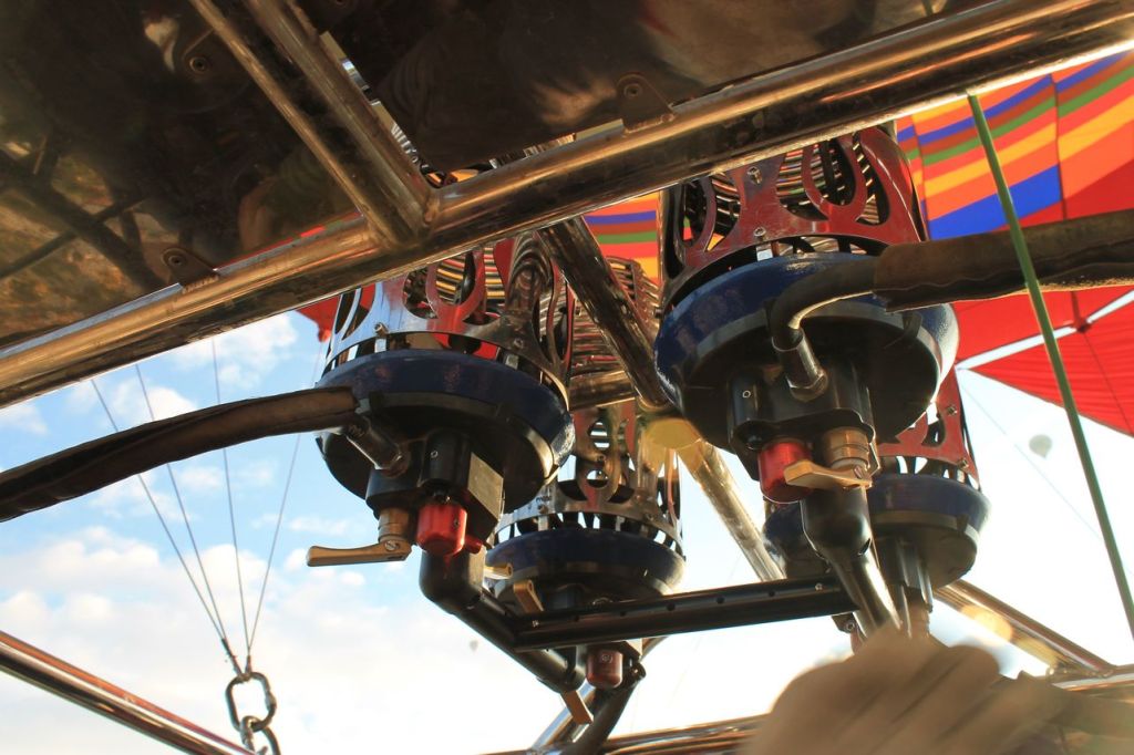
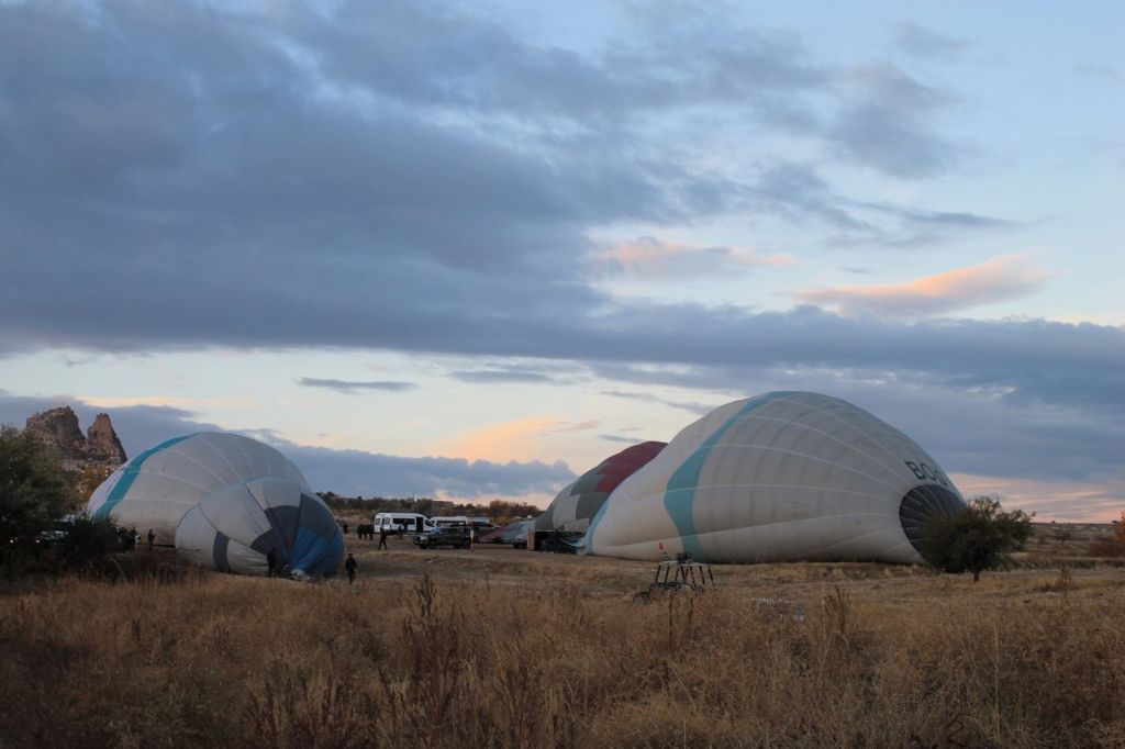
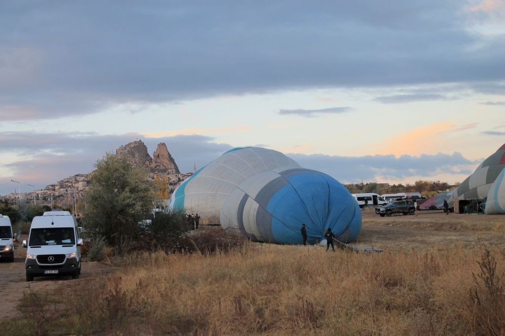
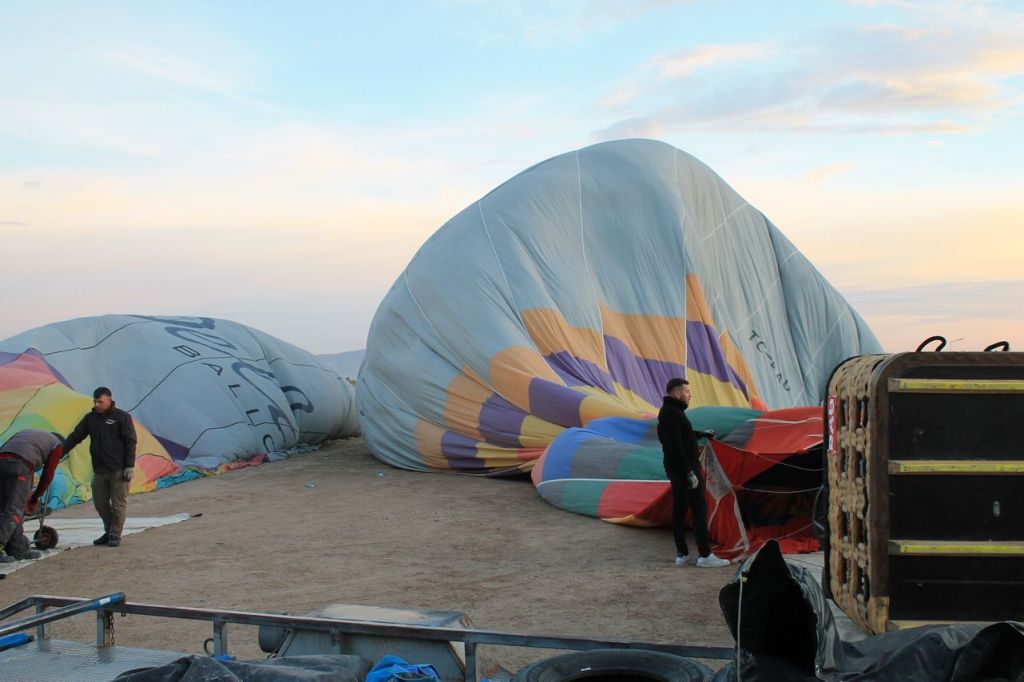
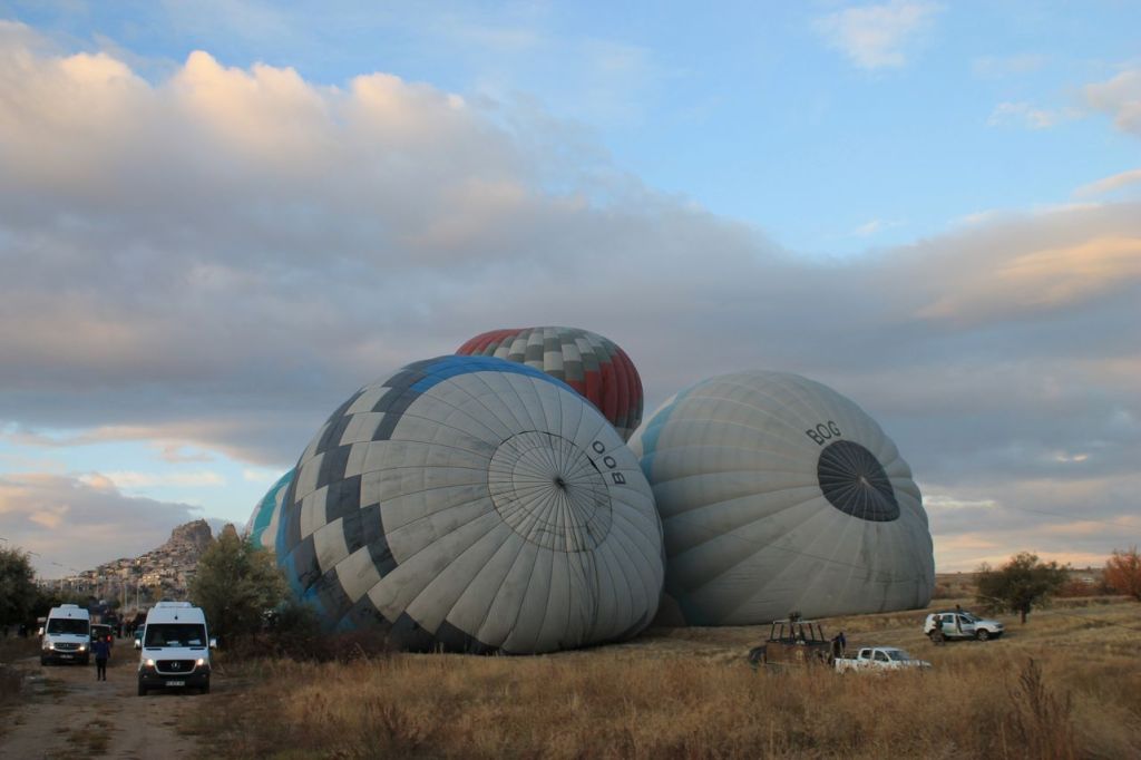
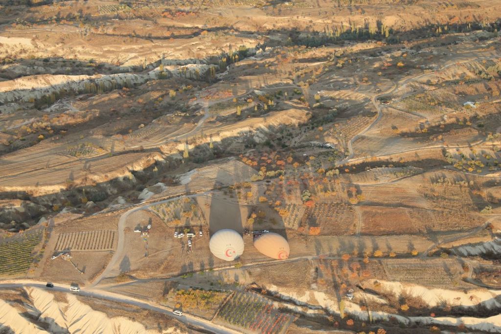
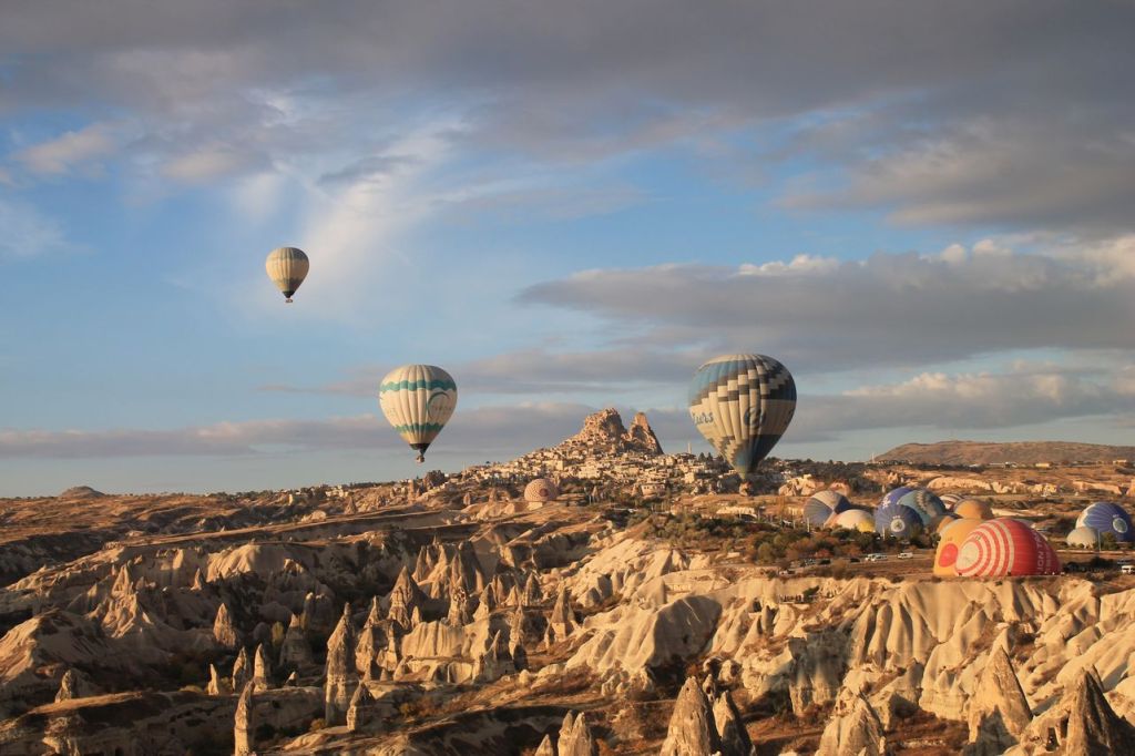
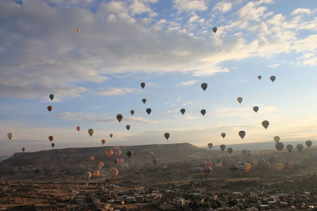
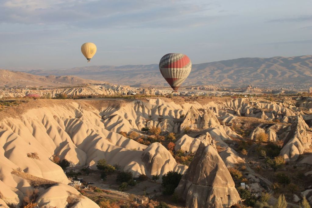
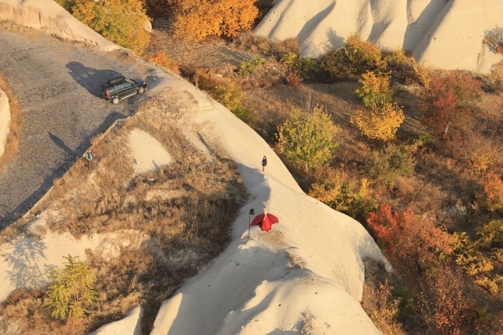
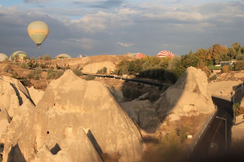
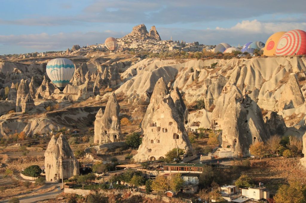
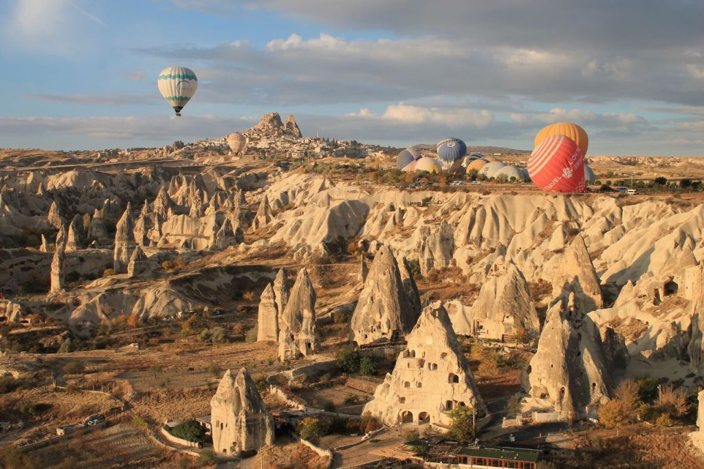
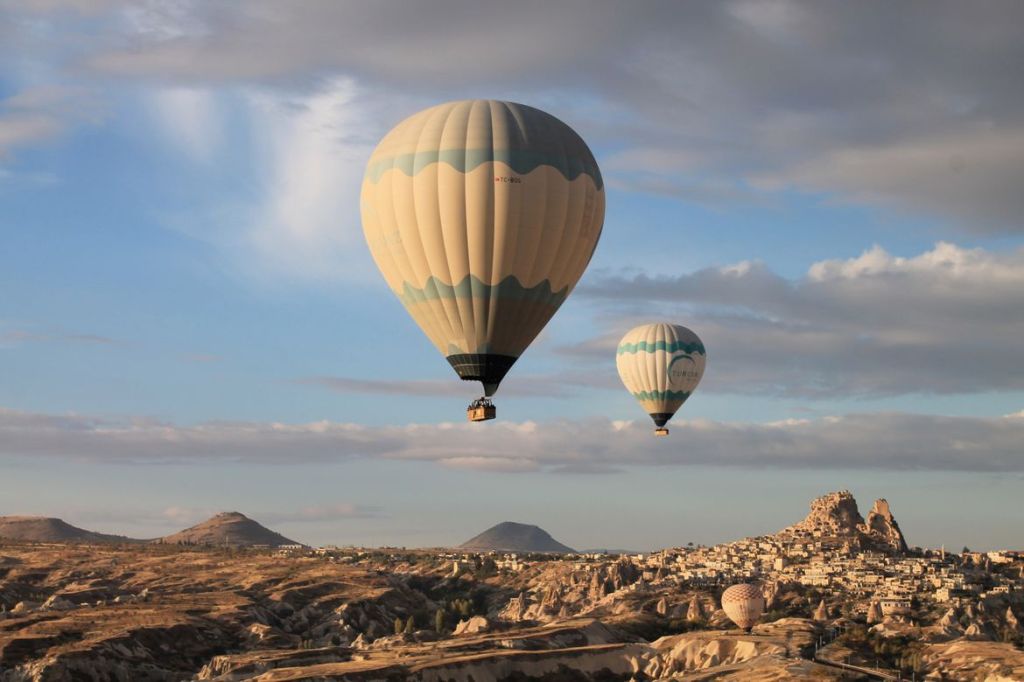
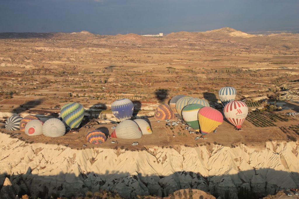
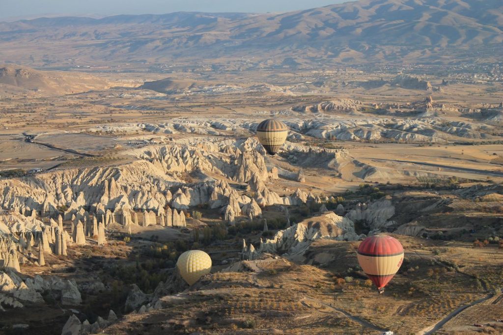
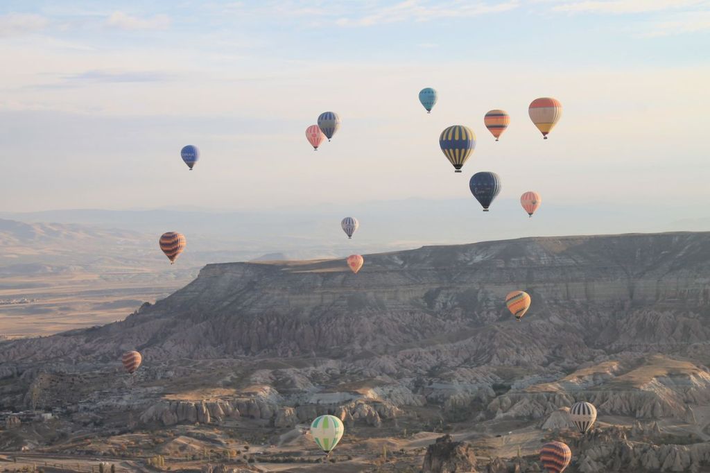
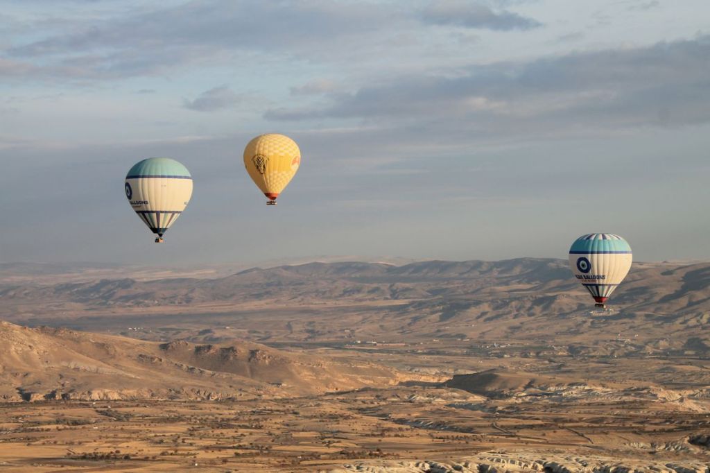
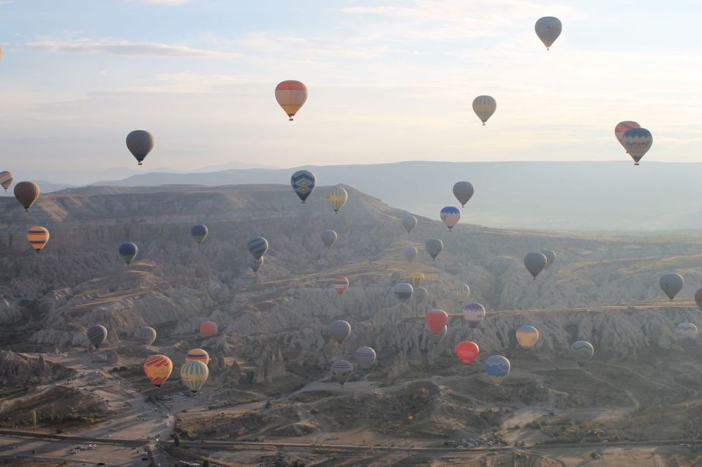
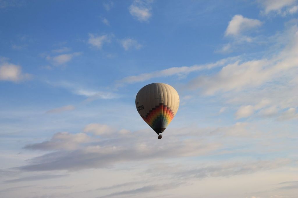
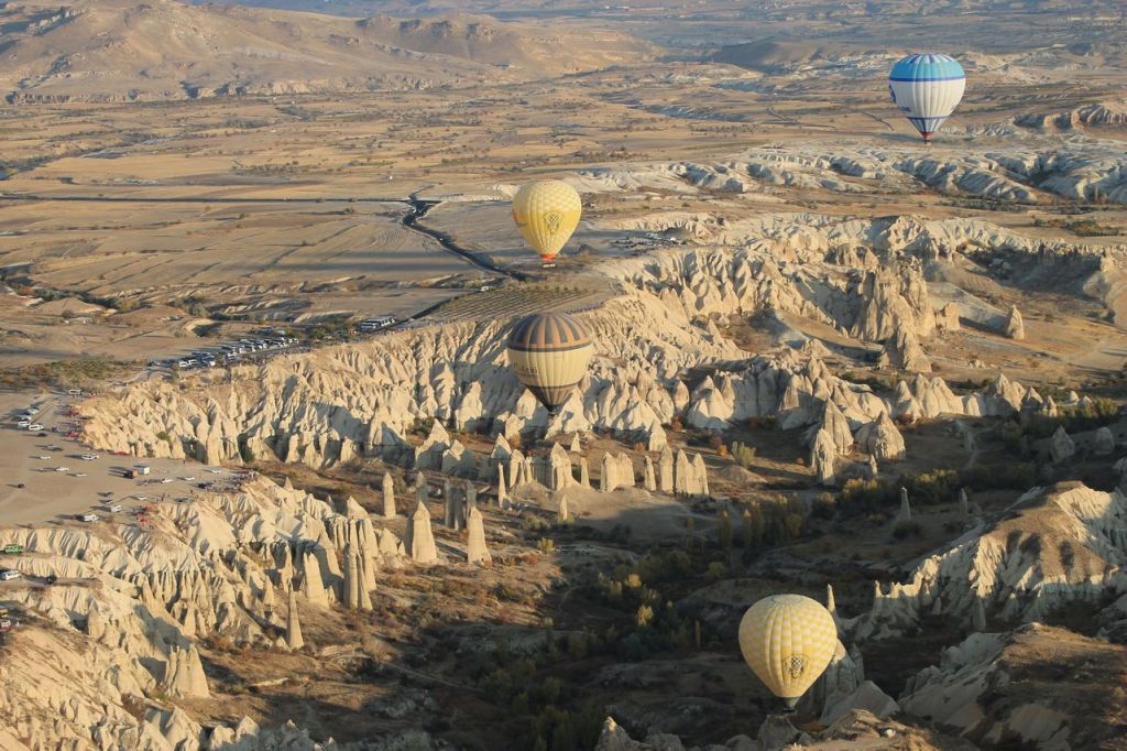
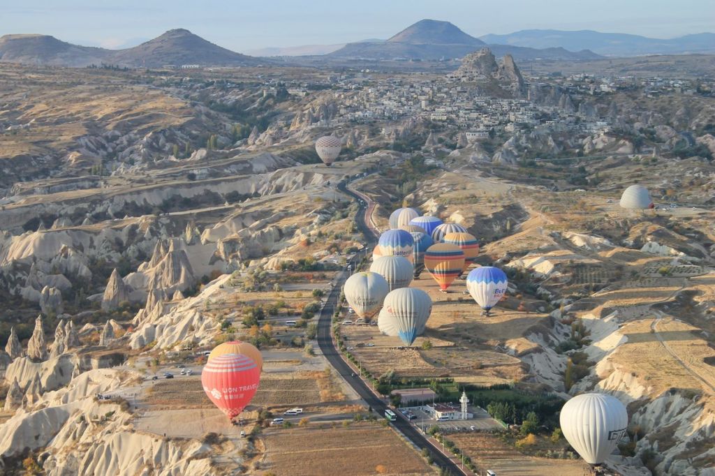
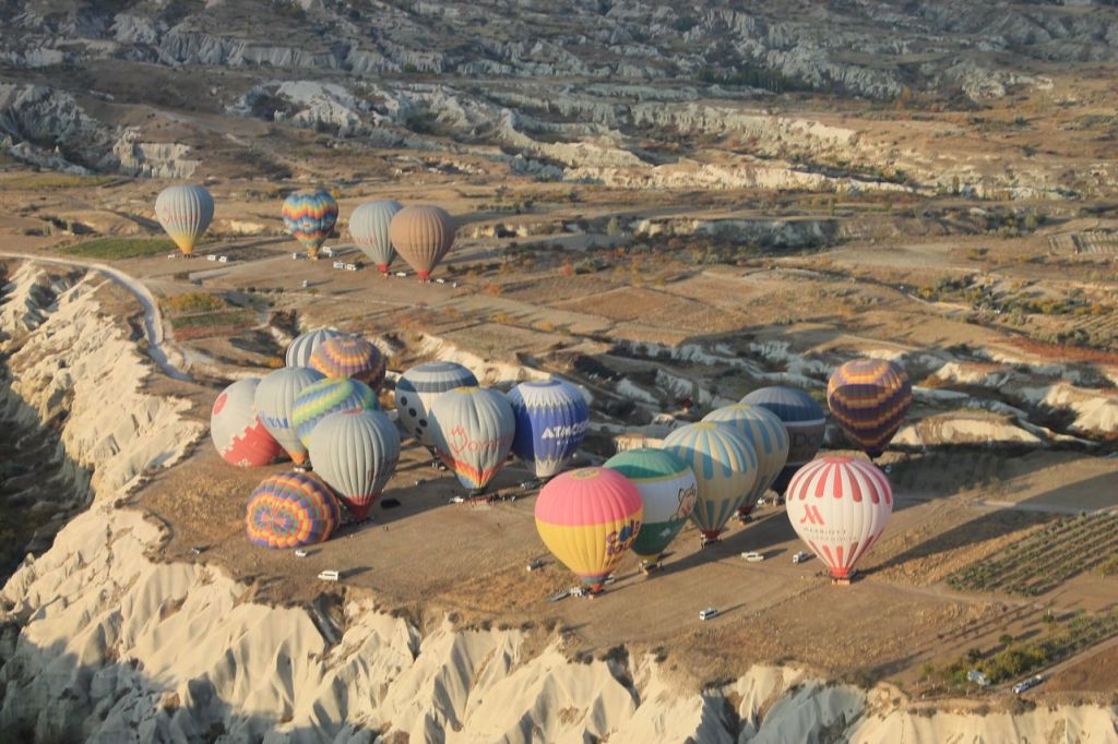
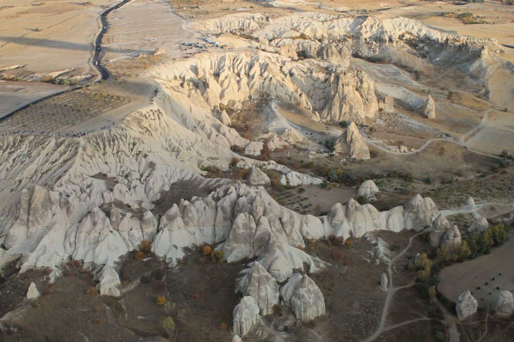
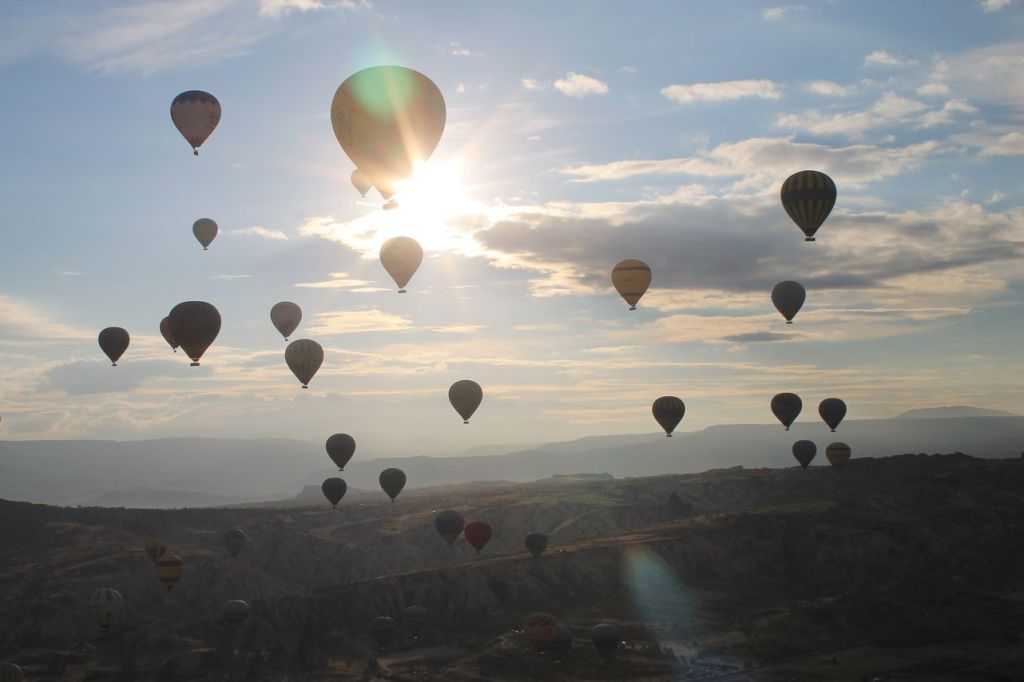
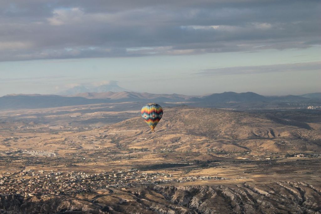
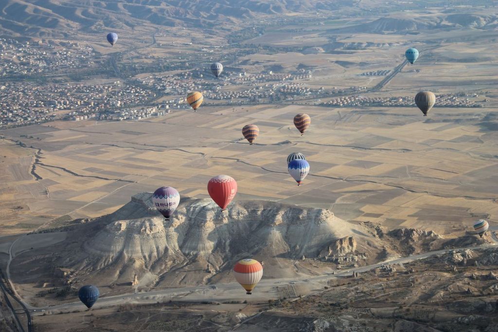
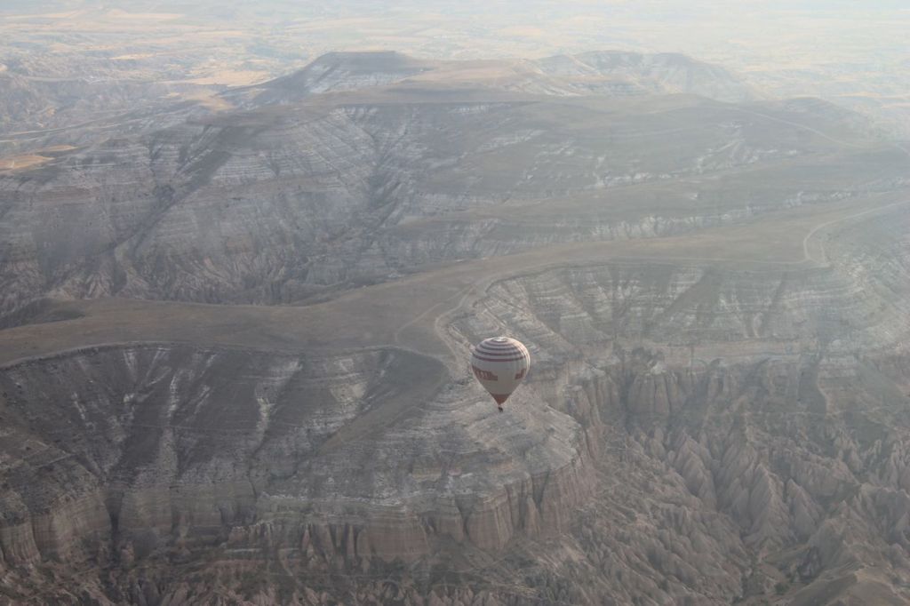
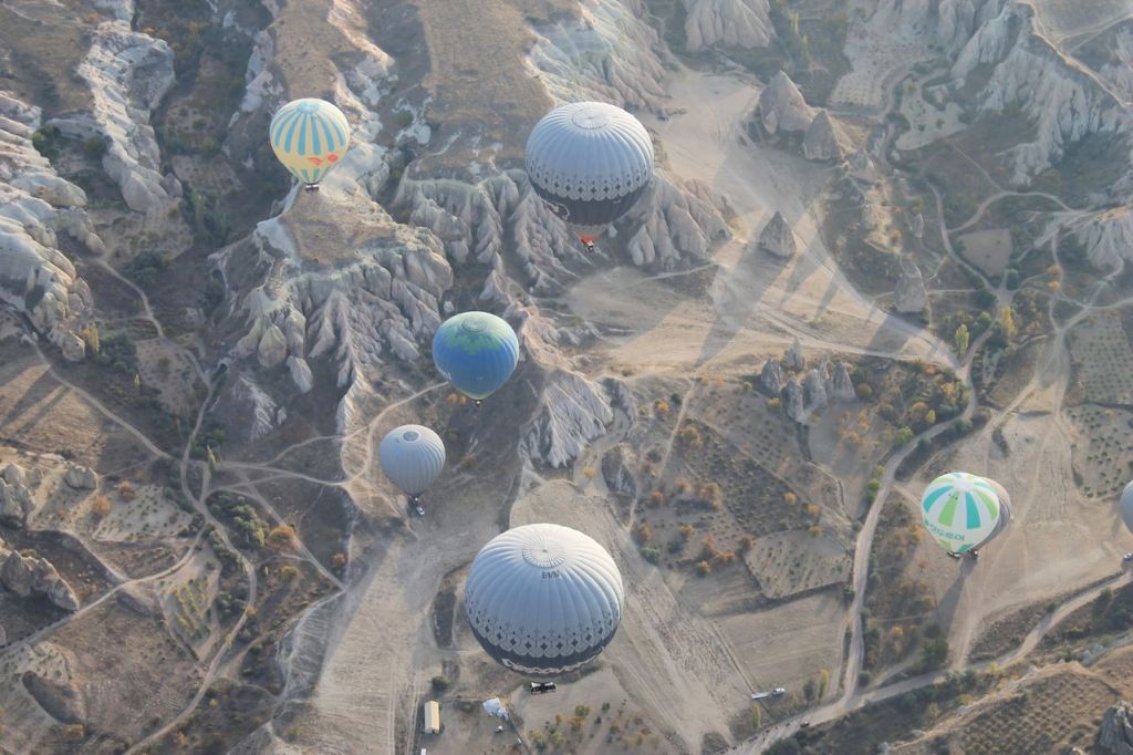
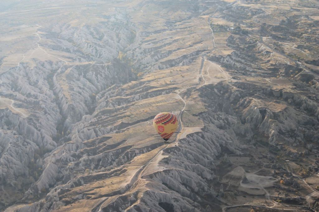
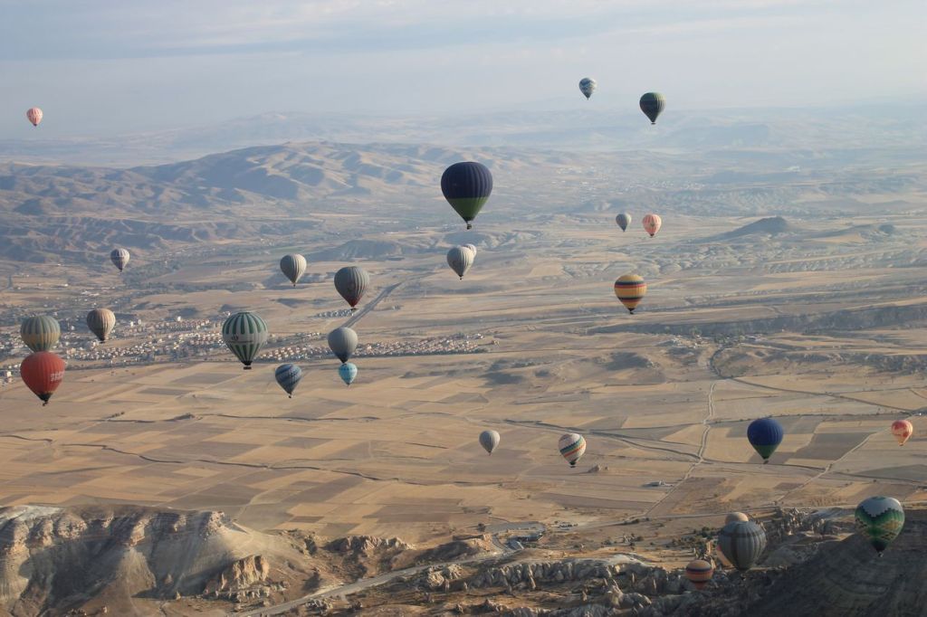
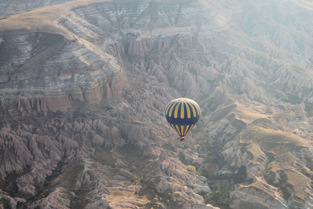
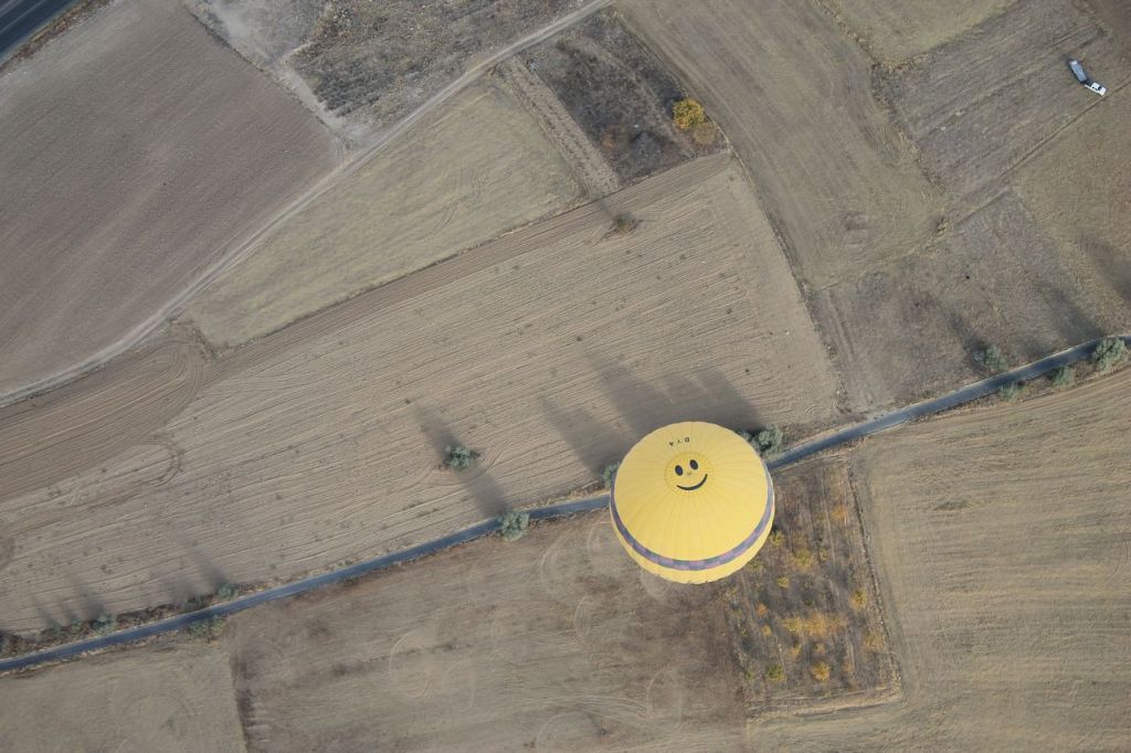
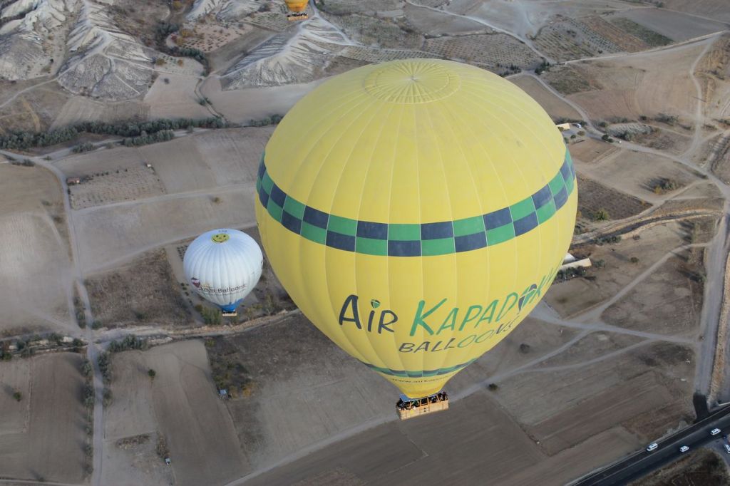
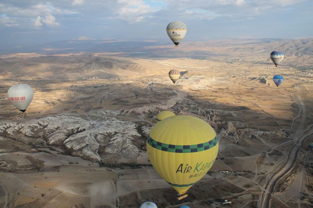
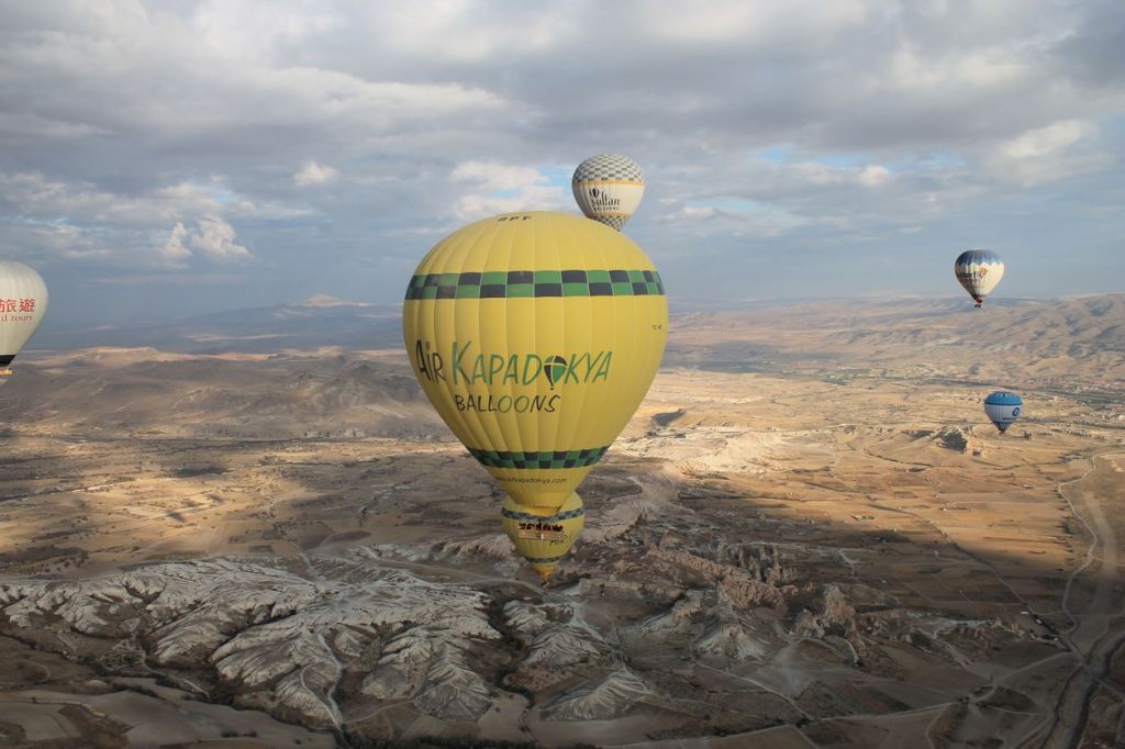
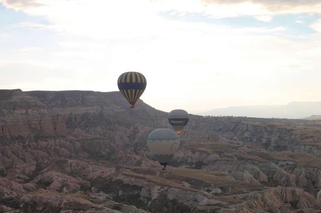
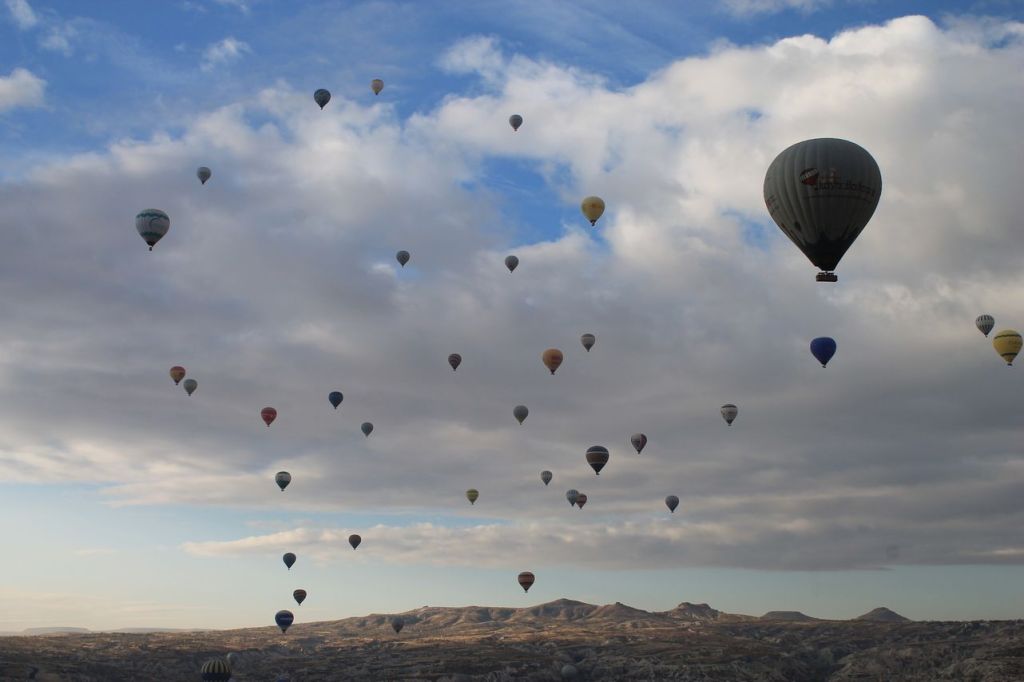
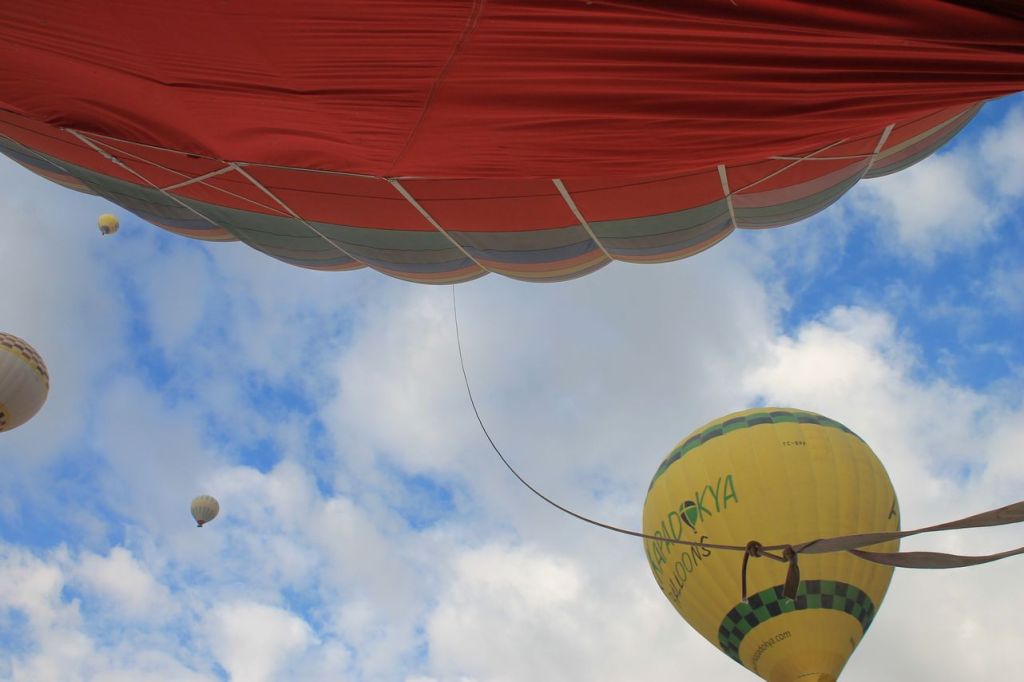
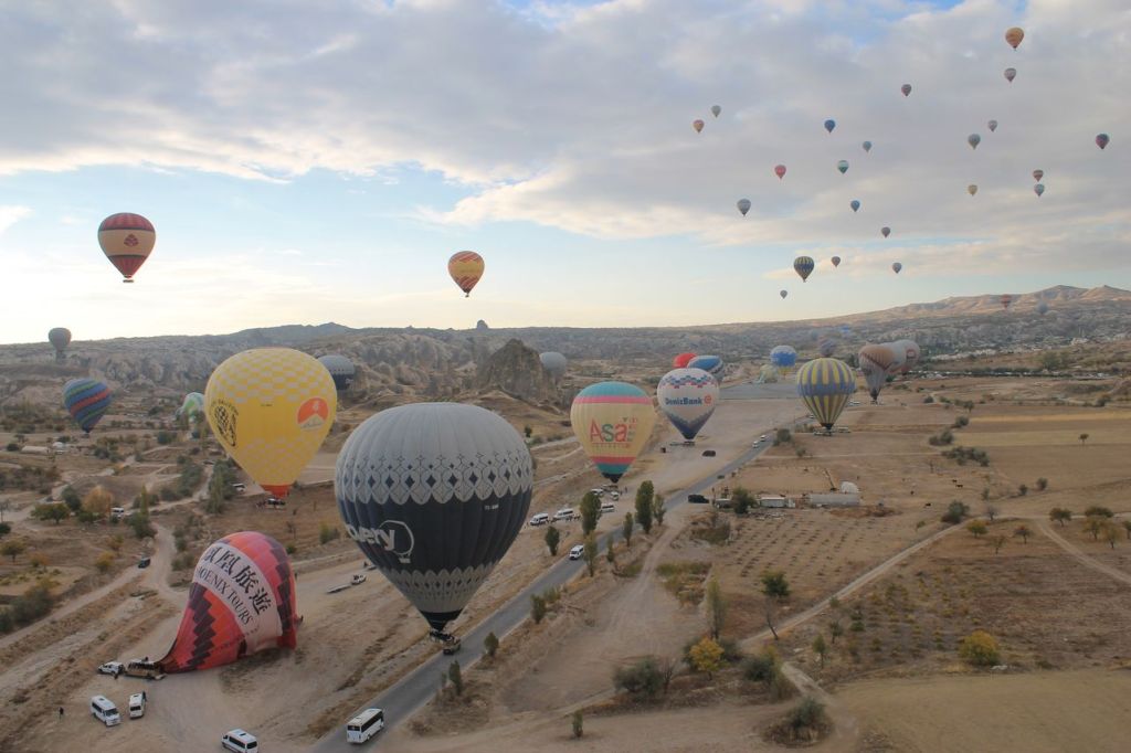
Turkiye. Amazing Cappadocia. Magic flight.
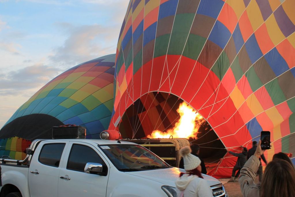
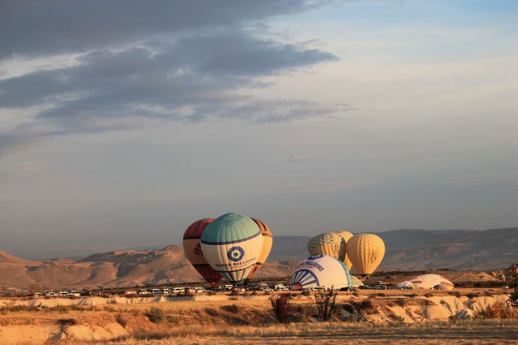
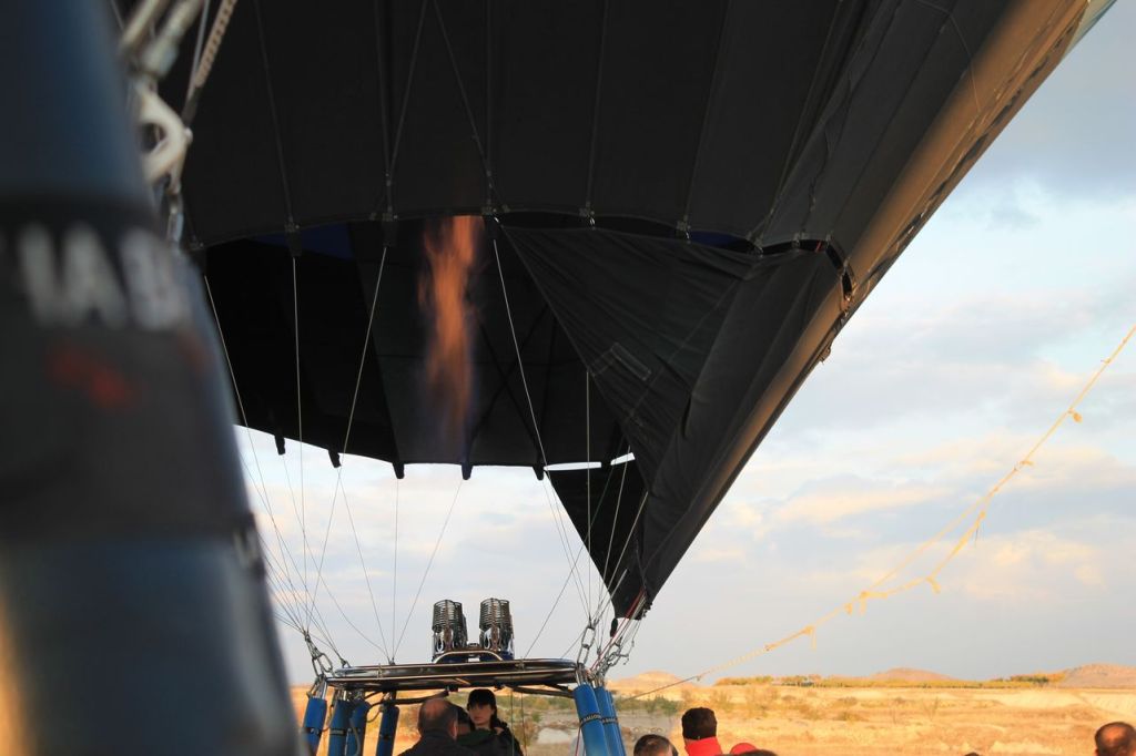
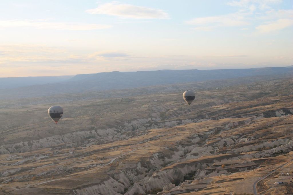
We woke up early in the morning. Pick up time was at 4:45 am. Start point was not far from our hotel. When we reached the start point the weather conditions was unstable. And then it started to rain. We began to think that the flight would not take place, but the rain quickly stopped. Then the clouds began to disperse, and dawn broke. Out of the darkness around us, many more launch sites appeared around our location, and everyone began to bustle about – cars with platforms arrived, and the balloons began to be inflated.
Finally, the balloons were ready. Everyone was divided into teams and seated in the gondolas. And the flight began… Nothing to say – emotions only 😍😍😍It’s unforgettable! You have to try ✌️✌️✌️


-

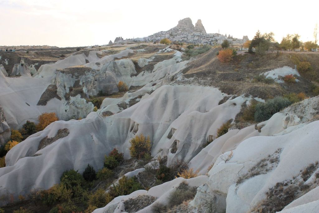
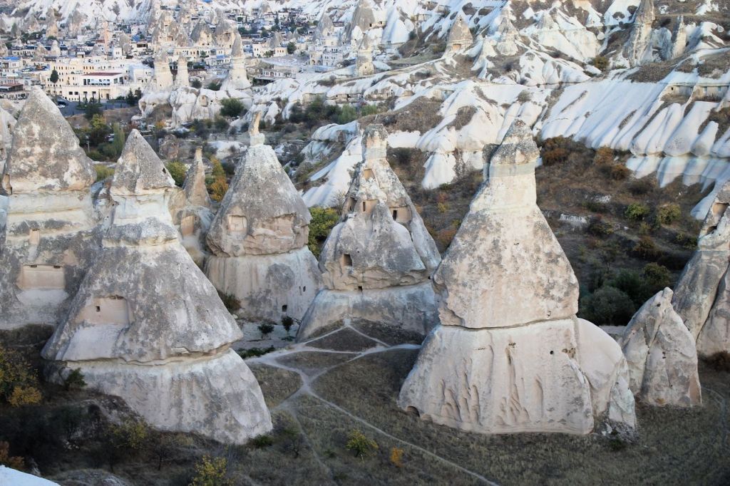
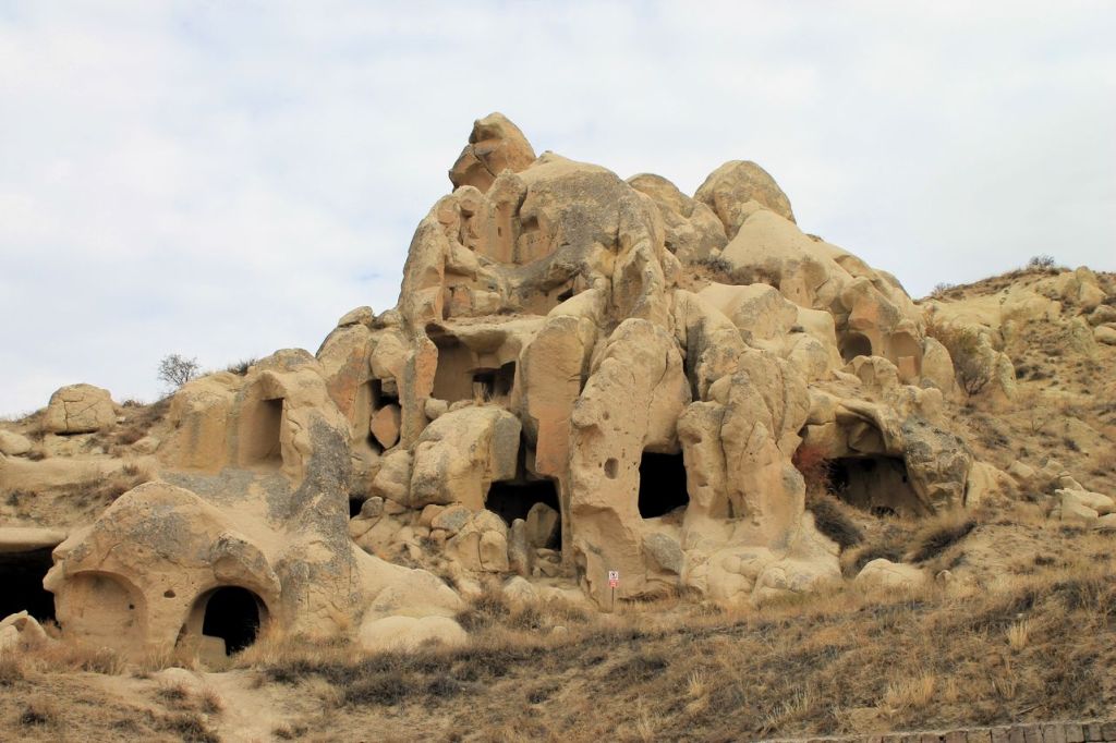
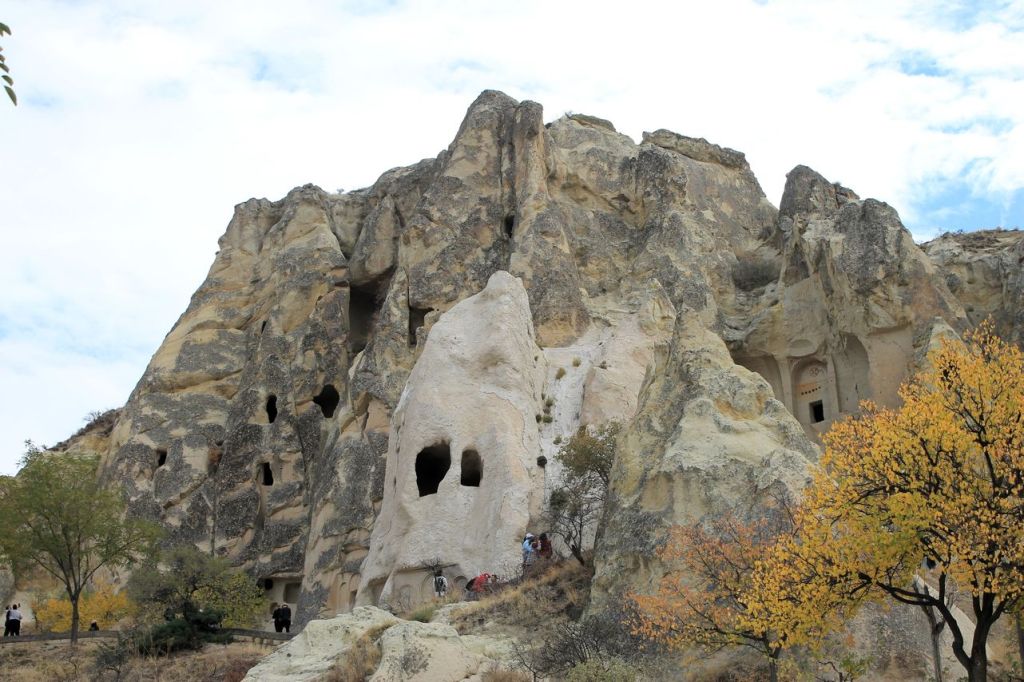
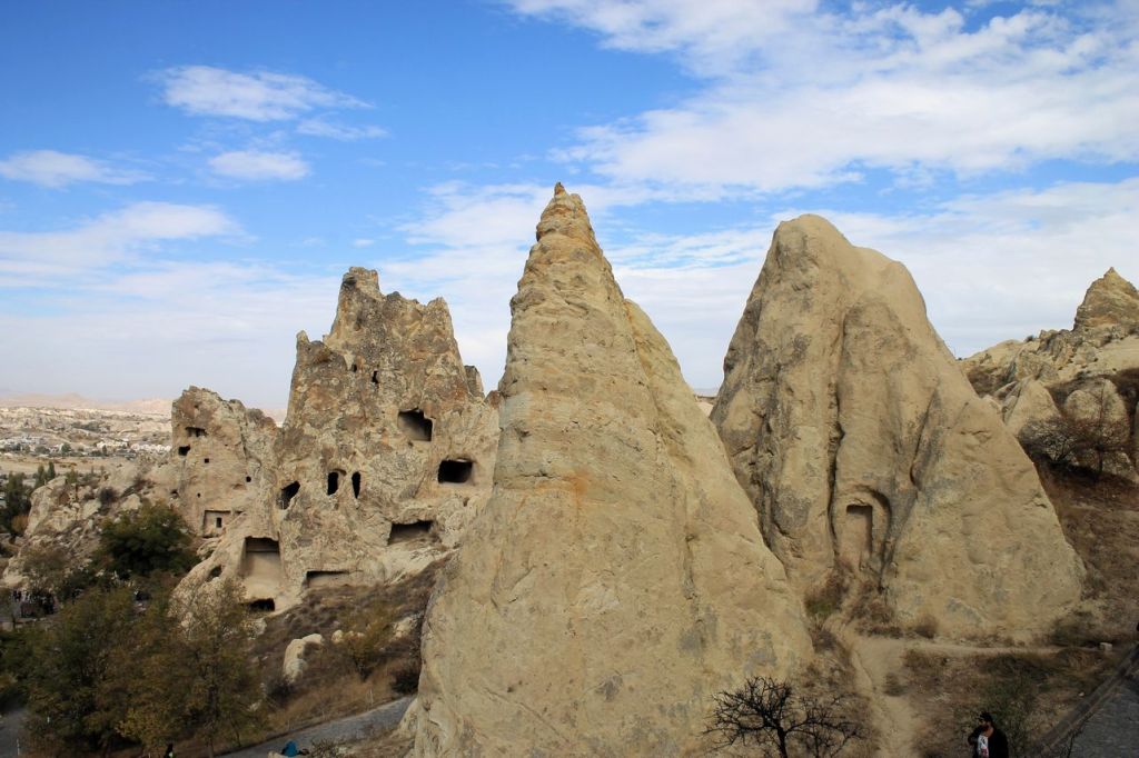
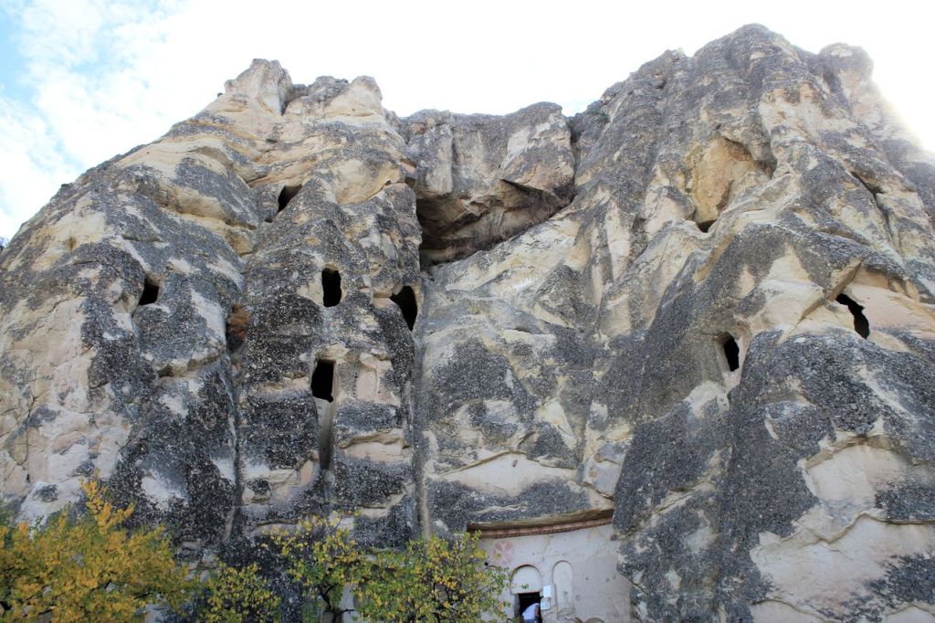
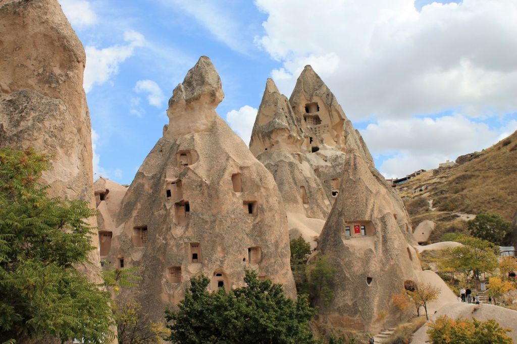
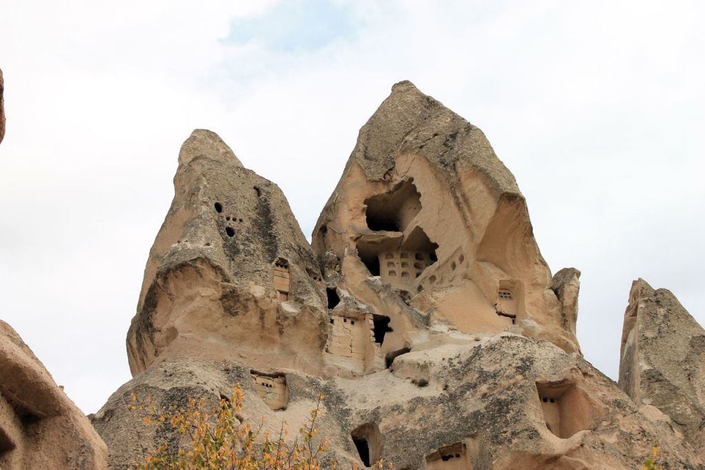
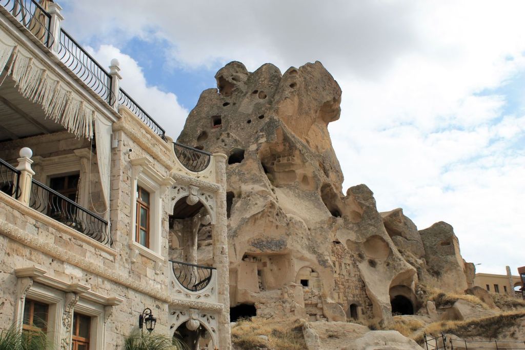
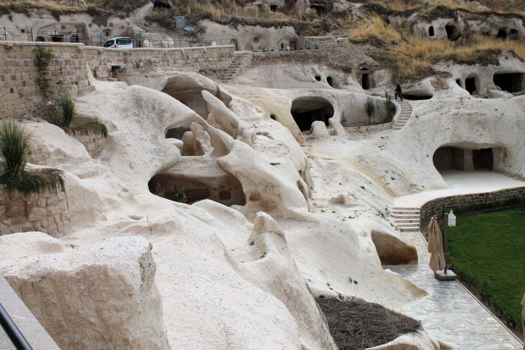
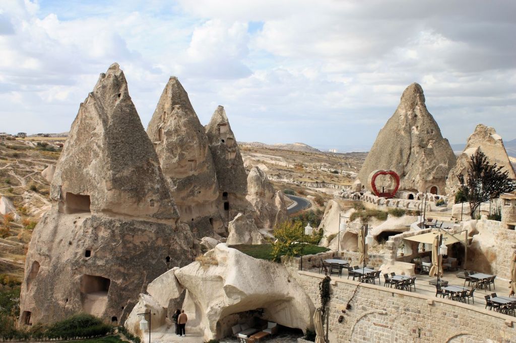
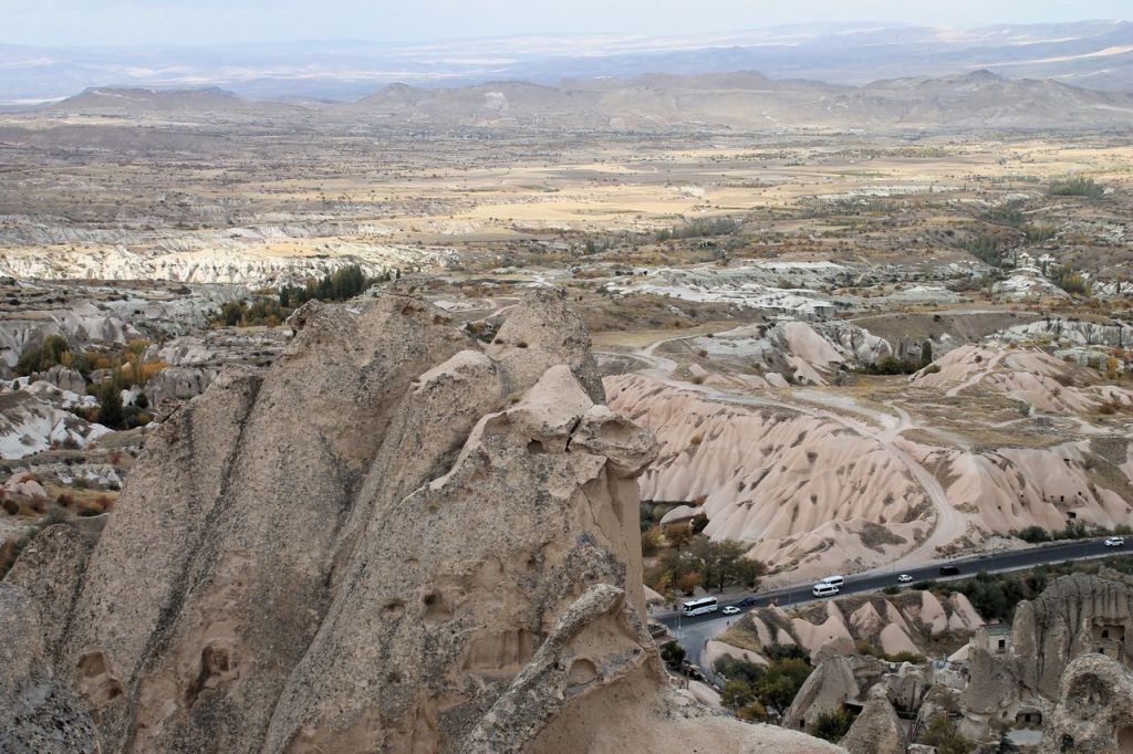
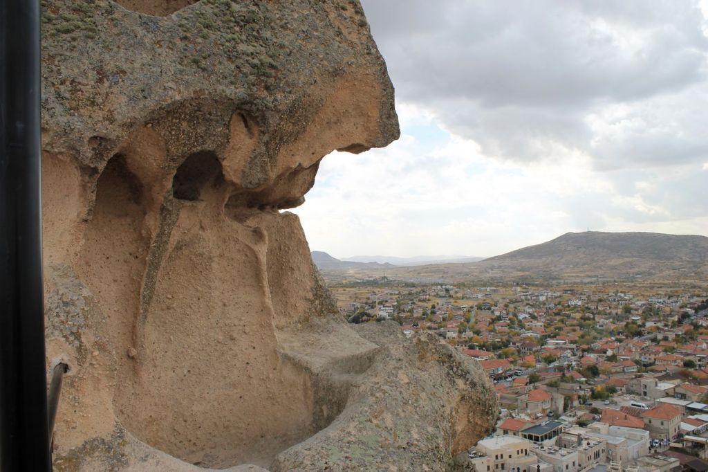
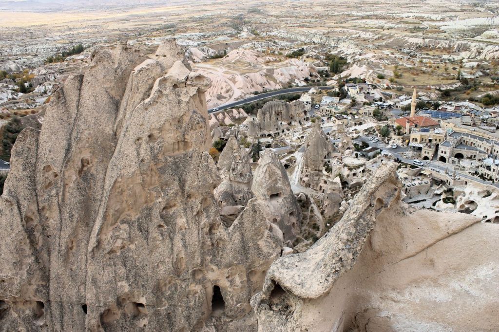
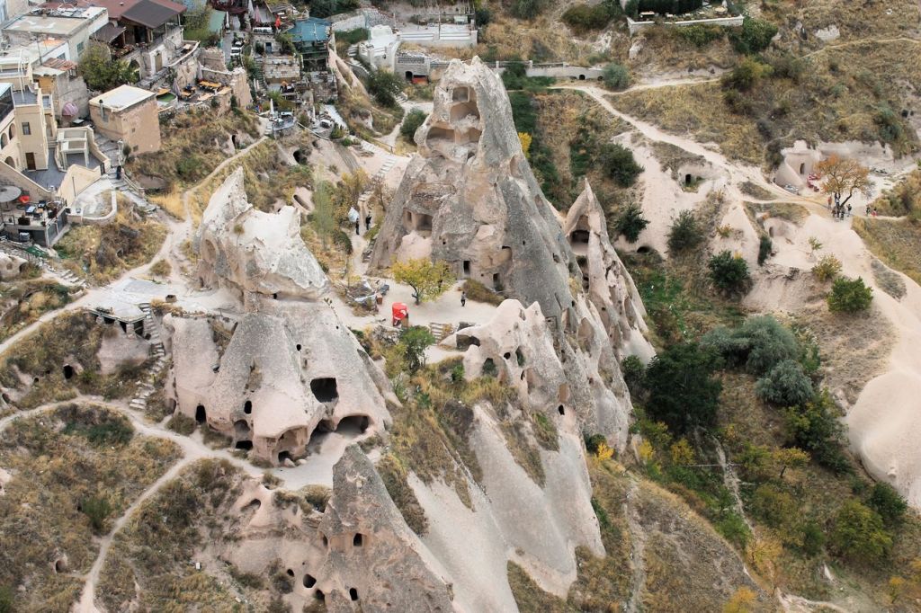
Turkiye. Amazing Cappadocia. Goreme – Uchhisar.
I visited amazing Cappadocia with my lovely wife. We rented a car and moved to Antalya first to catch the passing summer. We enjoyed the still warm Mediterranean Sea and set off for Cappadocia the next day. We stayed at a small, cosy hotel “Alaturca House” in Goreme.
Next day we booked a balloon flight (another post). The rest of the day we devoted the famous views of Cappadocia near Goreme and Uchhisar towns.
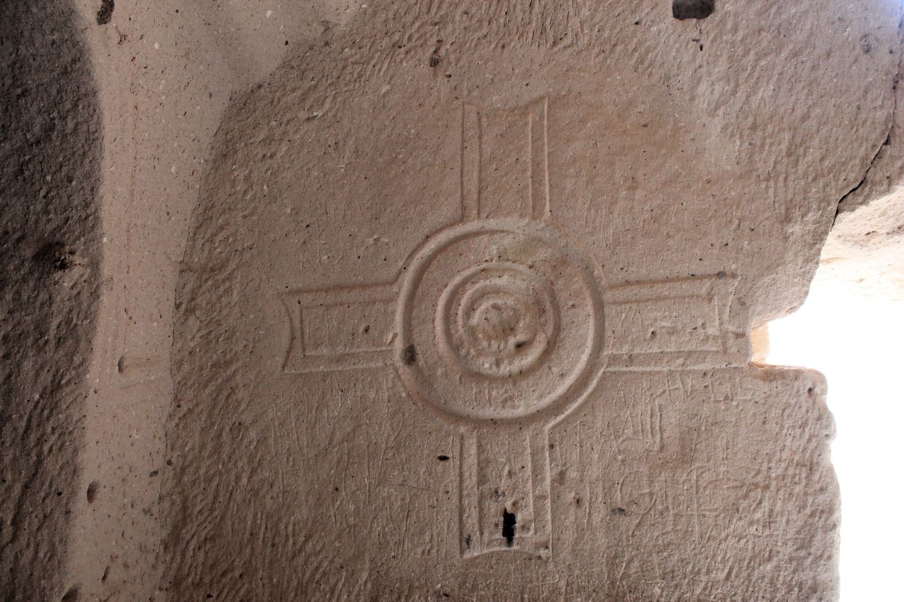
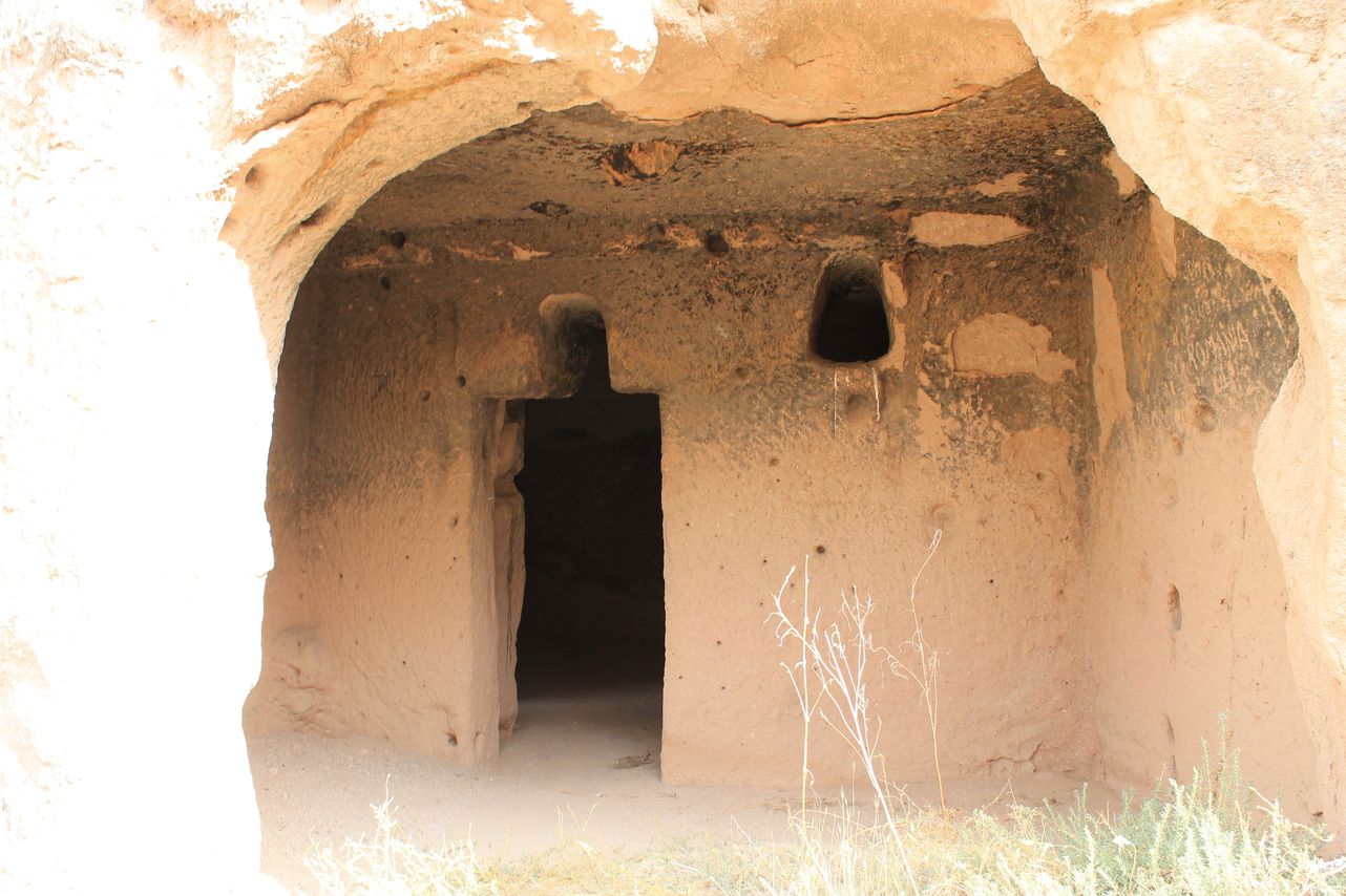
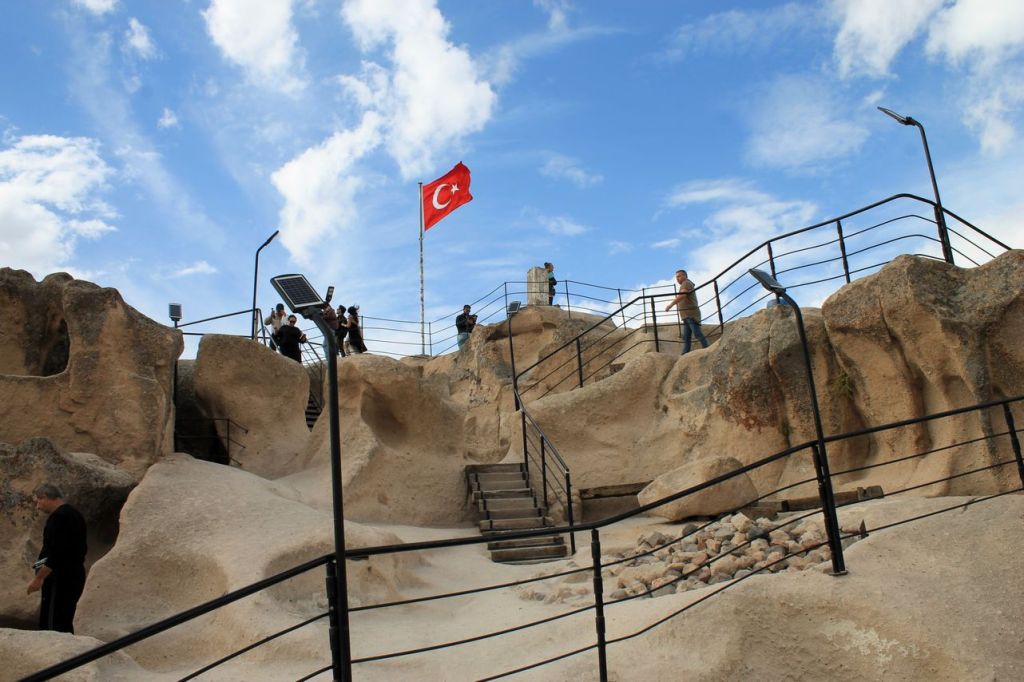
Goreme is a small town surrounded rocks with the caves. Millennia-old houses inside the rocks alternate with modern buildings. There is the Goreme Open-Air Museum near the town with churches carved into the rocks from the early Christian era – “Dark church”, “Snake’s church”, “Buckle church”. After museum we moved to the Uchhisar town to visit a Castle. It’s a kind of a hiking activity to reach a castle on the top of a mountain, but the way lays through the picturesque village. After the Castle we visited Pigeon valley with dwellings and bird cages carved into the rocks. At the end of this day, we visited Love valley. You will recognise this valley at first glance. 😜
It was too many impressions for one day, but there are a lot of wonderful places to visit and so little time as usual😢 And our journey through equally amazing places continued the next day.
IMHO Cappadocia should be in every traveller’s wish list.

Goreme 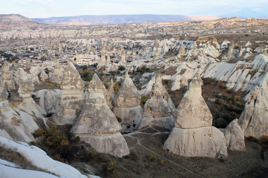
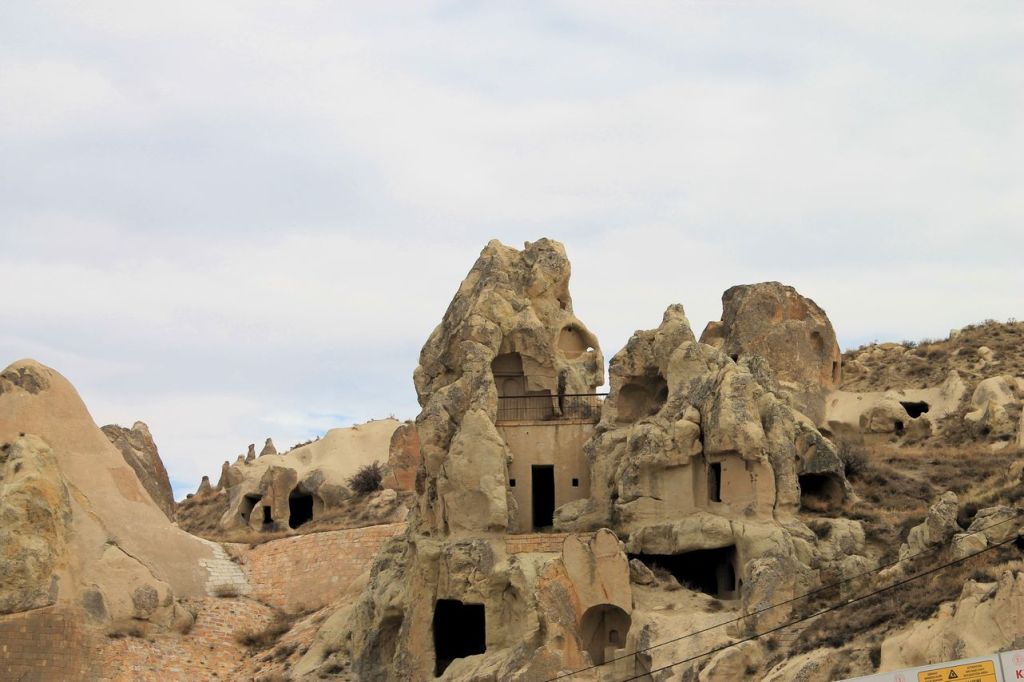

“Buckle church” 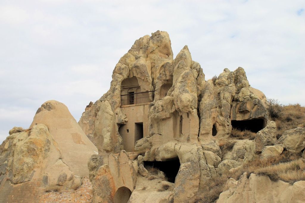


Uchhisar Castle 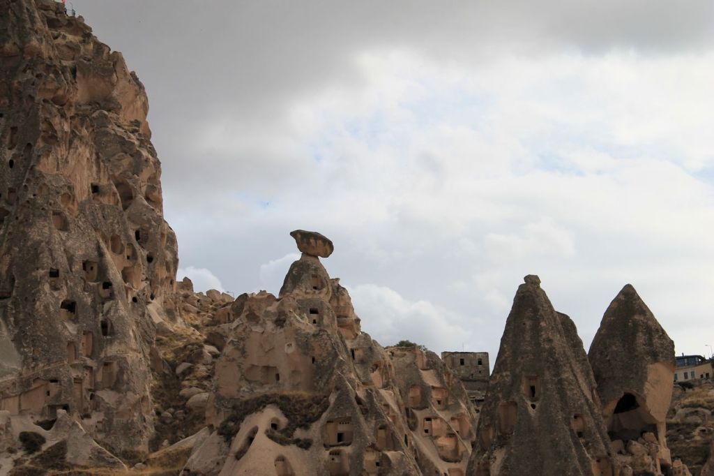


Uchhisar town 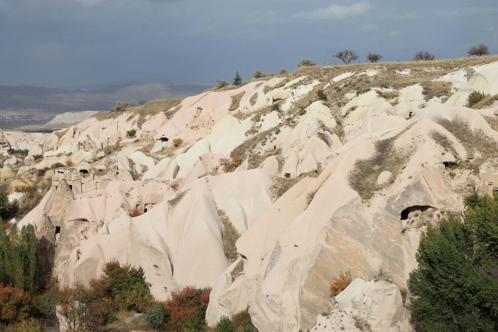
Pigeon valley 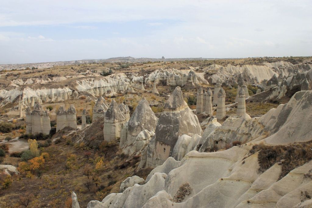
Love valley 


-
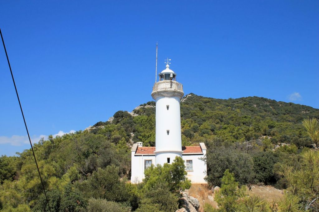
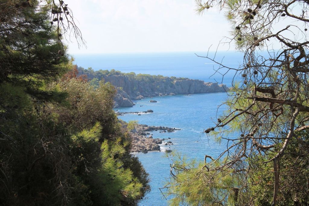
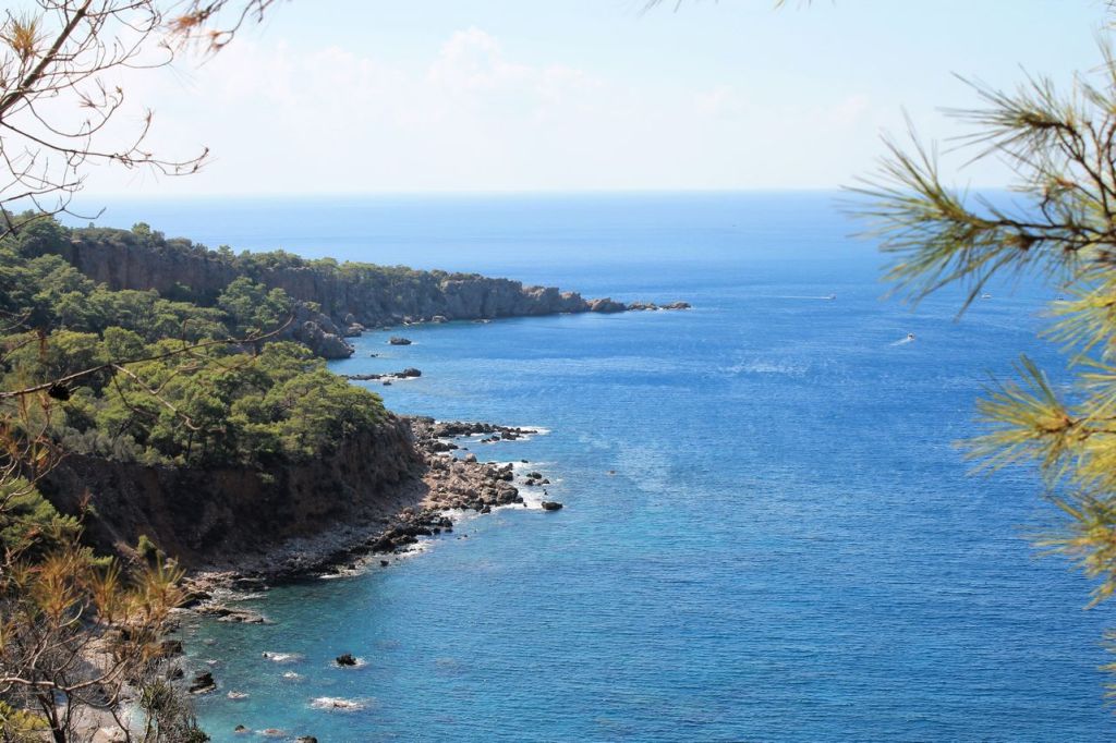
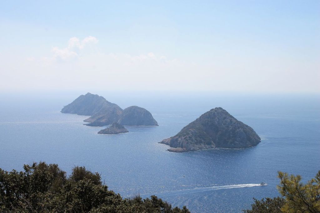
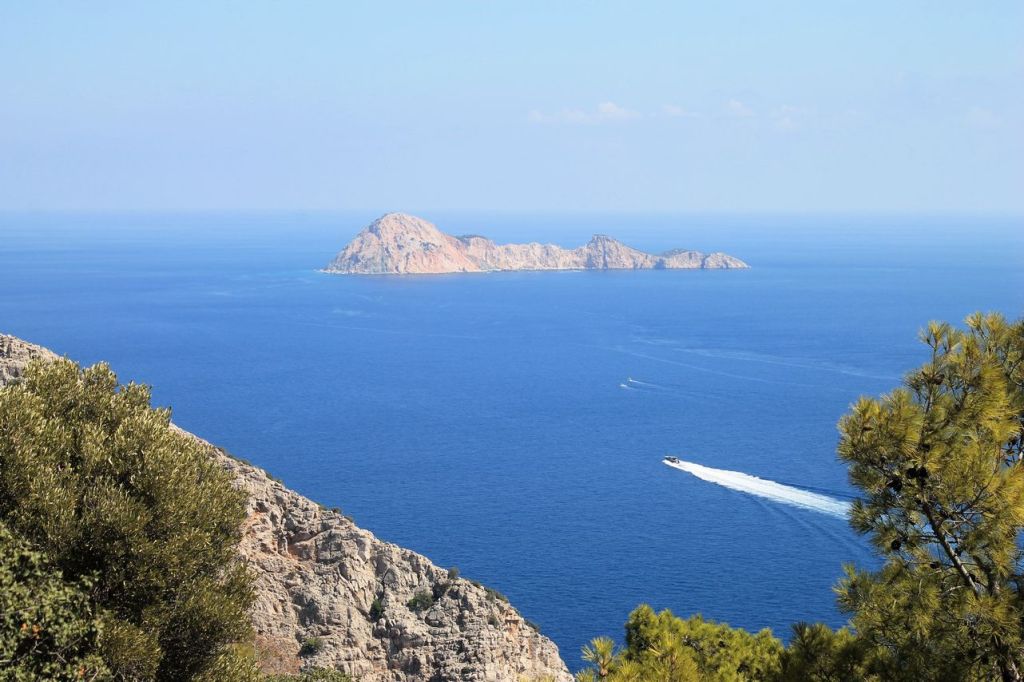
Turkiye. Antalya – Lycian Way – Gelidonia lighthouse.
It was a hike with Idadik.org and our second day in Antalya region. We decided to reach Gelidonia lighthouse on the Lycian Way. Our route was short because we had to return to Izmir after lunch. The road offered picturesque views of the coast. There are also several viewing points near the lighthouse, offering views of the sea, islands and boats. wikiloc


-
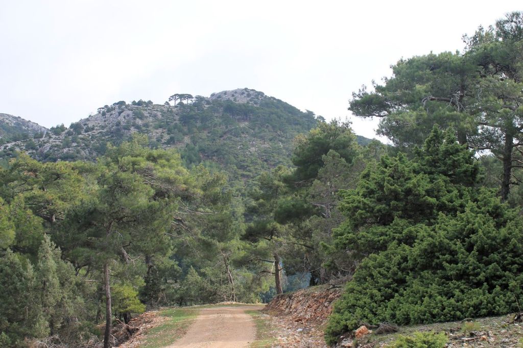
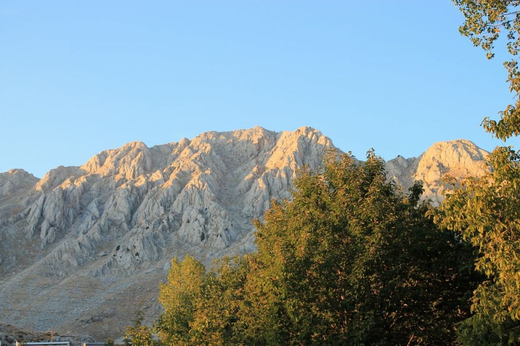
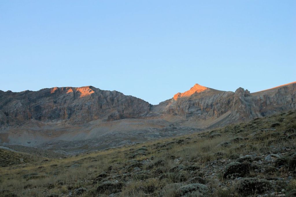
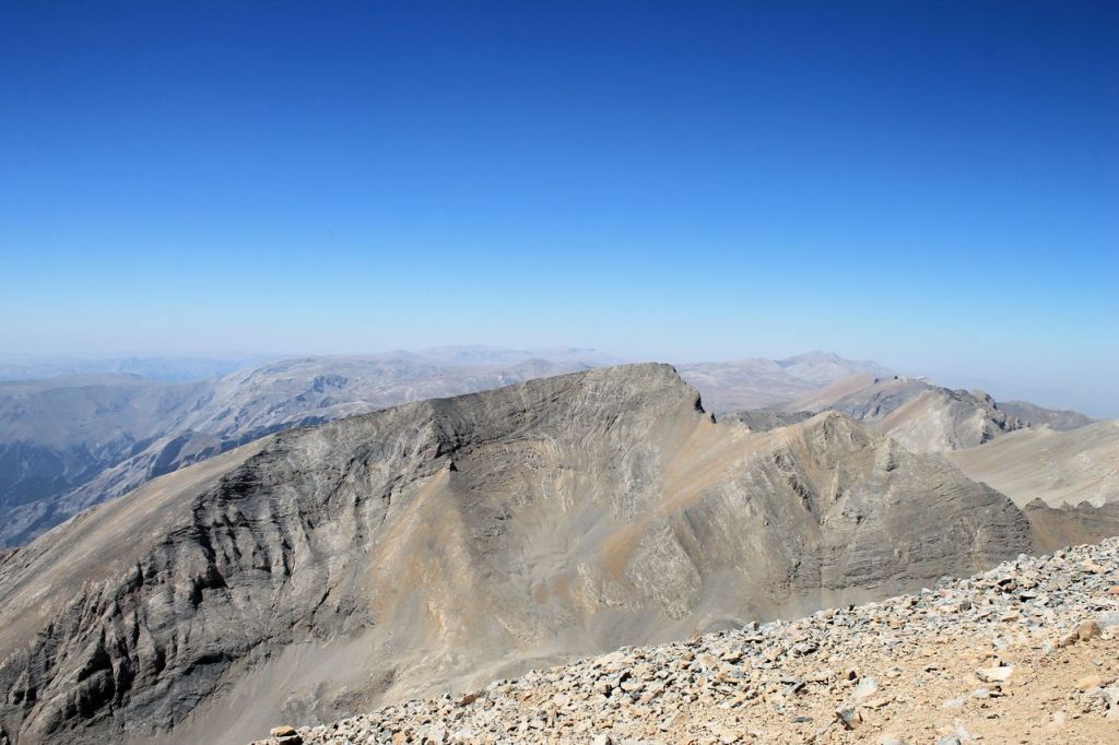
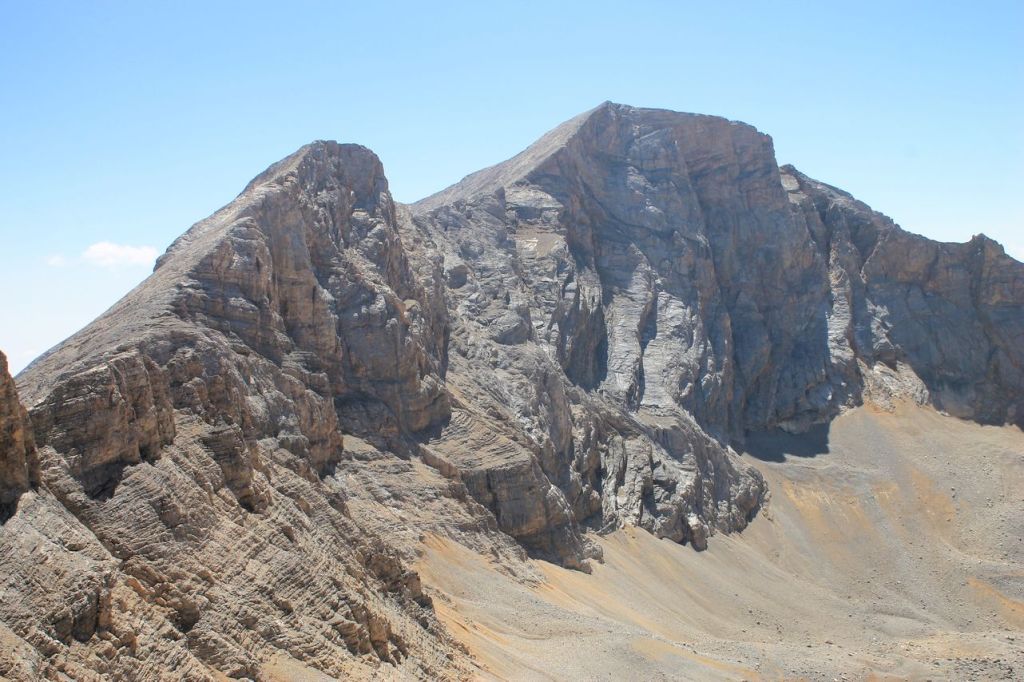
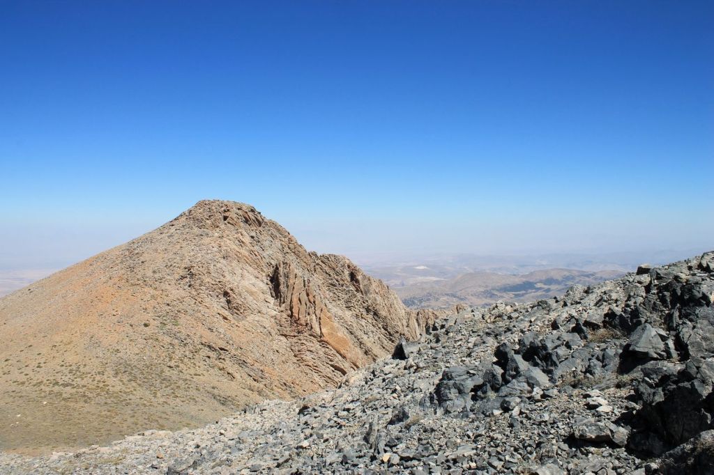
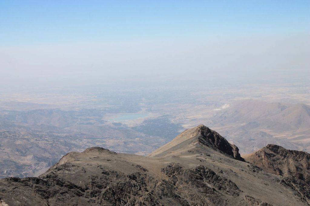
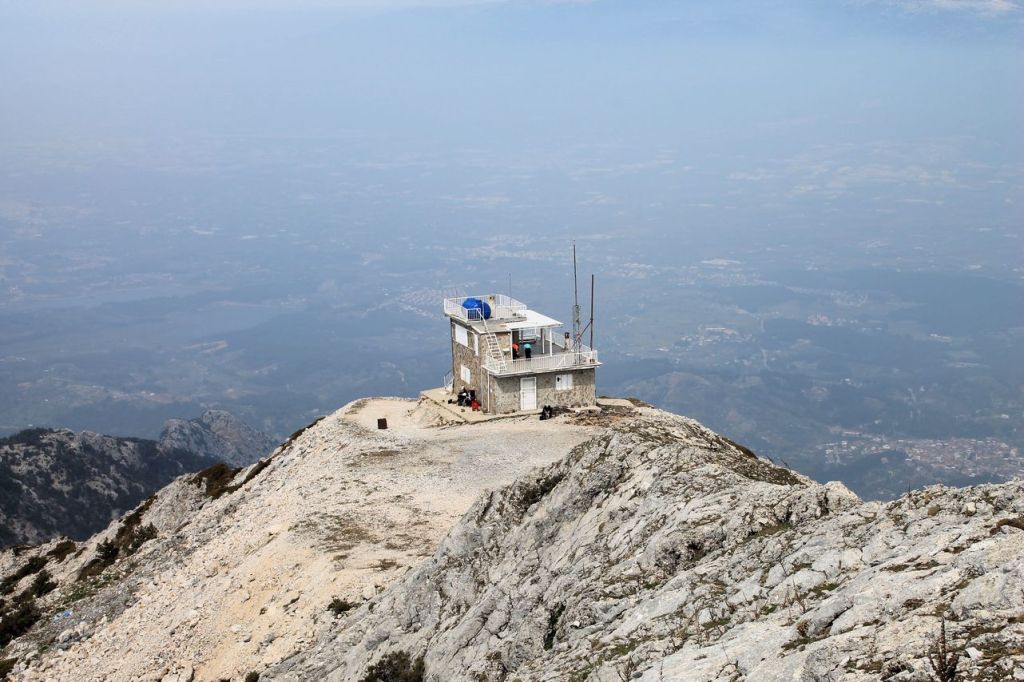
Turkiye. Antalya – Tunch mt. (2654m) – Kayatepe mt. (2619m).
It was a hike with Idadik.org. This hike was devoted to the club’s founder Adnan Kayatepe. We started from Izmir in the late evening and arrived in Antalya early in the morning. Then there was the traditional morning soup for breakfast. After that, we reached the foot of the mountain and set off. We started from the highlands, so the elevation gain was not significant – 645 m. First, we climbed Mount Tunch, and then crossed the pass to Kayatepe. Although we spent the night on the road, we were not very tired, and the climb was not difficult. On the descent, our guide took us on a more challenging route along the ridge to make it more interesting. The group stretched out a bit, but in the end, everyone made it. The weather was beautiful – fresh and sunny. The surrounding mountains are as beautiful as ever! And in the distance, we could see the wonderful Mediterranean Sea, where we then went to swim in our favourite village of Chirali. wikiloc


Tunch mt. 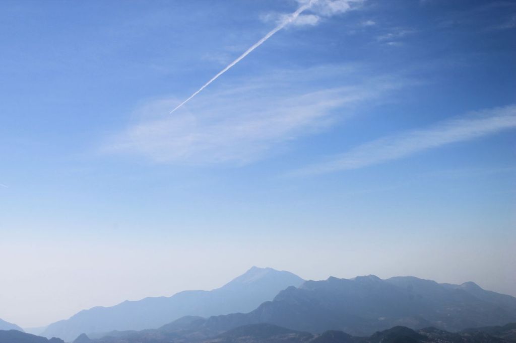
-
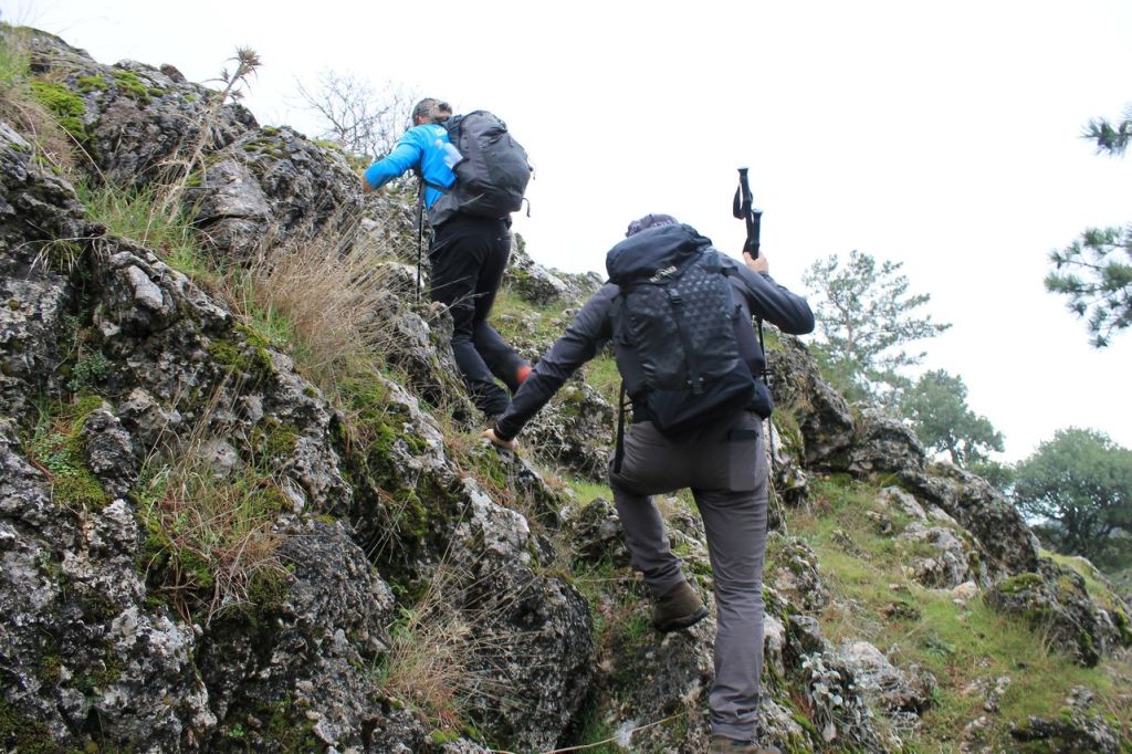
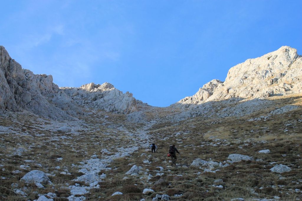
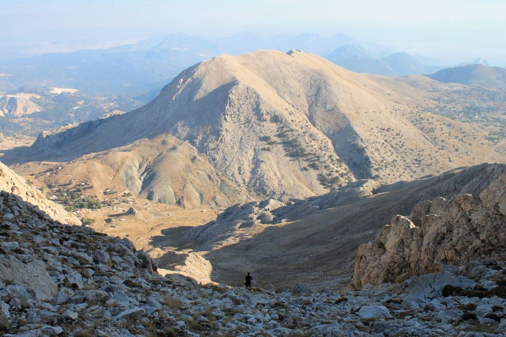
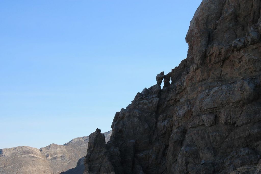
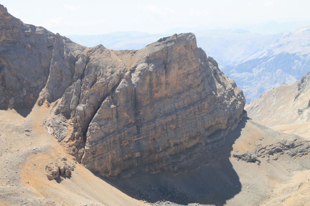
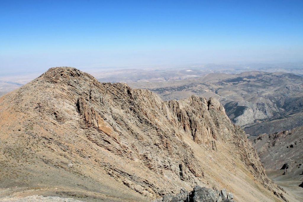
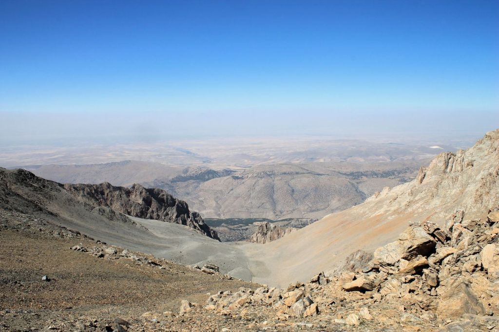
Turkiye. Niğde – Maden – Meditsiz mt. (3524m). Day 2
It was a hike with Idadik.org. As I described in the previous post, we got camp near Karagol lake. Our next climb promised to be more difficult. We woke up early in the dark – about 4 a.m. Not all of teammates could find a power to participate, only five of us. We started after a quick bite. Beautiful landscapes opened up, especially when the rising sun began to color the mountain peaks. The guide set a very fast pace. Our group of five people spread out along the route. I tried to keep up for a long time, but eventually fell behind the guide. Instead, I joined the rest of the group.
The first stage of the route was an almost continuous steep climb. Then the path became gentler, but in places it was very narrow, with rocky scree, so there was no time to relax. The heat was gone, and there was a strong wind in places, so I had to put on a windbreaker. It was so strange to meet two shepherds sitting on their haunches and wearing T-shirts on the pass.
The most exciting part was crossing the narrow ridge. We crossed several passes and approached the foot of the summit. We seemed to have completely run out of strength, but a few handfuls of raisins gave us new energy. A steep climb up loose rock led to the summit, and we conquered it!
The experience was certainly unforgettable. This is why I go to the mountains.The way back was no less exciting. Our guide quickly ran ahead. We followed the trail, and when it disappeared, we looked for the way using the route recorded in Wikiloc (thank God I had made a recording). However, when the group stretched out and I found myself in front, I lost the trail and ended up on a steep descent with crumbling rocks and cracks dug out by spring water. It was difficult. I lost a lot of time trying to get back on the trail. Eventually, I made it out, and the rest of the group caught up with me. We continued on together and made it back to camp. We had time to wash in a cold stream and rest, and then we had a 9-hour night drive to Izmir ahead of us.
A couple of hours after setting off, we came across a wonderful restaurant serving delicious Turkish food. It was delightful, especially after two days of living on bread and dry snacks.
These were two remarkable days of testing the strength of spirit and muscle. But how wonderful it is to feel free after sitting at the computer every day. wikiloc


Narrow ridge 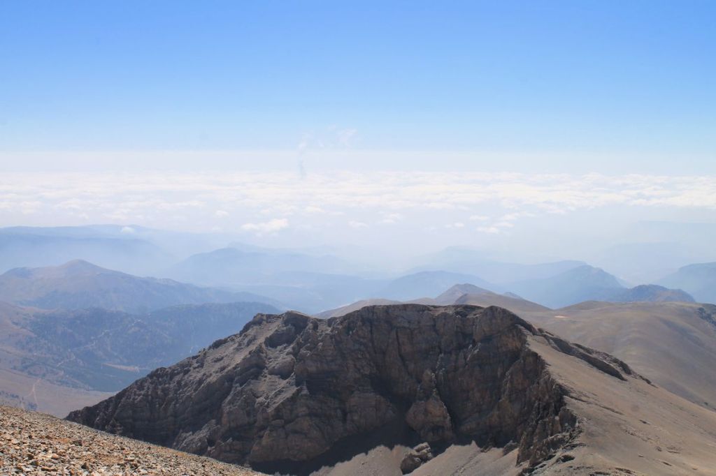
-

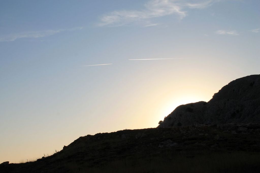
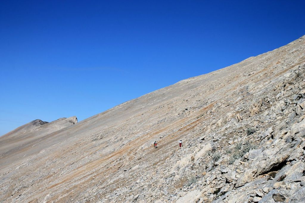
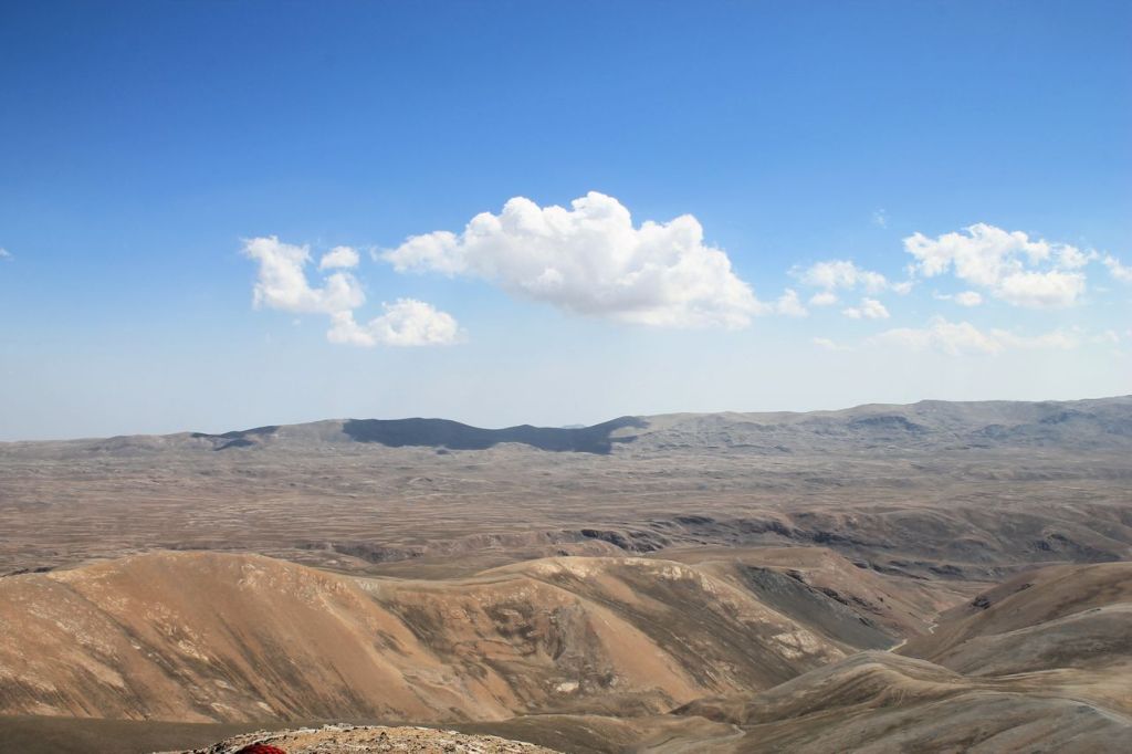
Turkiye. Konya – Aydos mt. (3428m). Day 1.
It was a hike with Idadik.org. First of all, we made a long way by car from Izmir to Konya province. It took all night to get there. Our car isn’t very comfortable. We were three passengers on the back seat. I was able to sleep maybe a couple of hours that night. Our car isn’t off-road, so we got some troubles trying to reach alpinist’s camp. Sometimes our car couldn’t make it up the hill, and we had to push it. In addition, the car hit a sharp rock and tore a tire. It wasn’t an easy walk.
The path itself isn’t very hard technically, but the weather was hot. Lack of sleep also had an impact. When we reached the summit, we got a shot dinner and fall asleep immediately. After this short rest the way back was easier. On this trip, the scotch tape I took on every trip finally came in handy. One of the team members’ shoe soles started to come off. We had to fix them with scotch tape and some ropes we had on hand. So the adventures weren’t over yet. In the end, everyone arrived safely at the camp, where a spring with cold mountain water awaited us.
From my point of view, Taurus mountains are similar as mountains in Uzbekistan, where I was. Hot weather in the summer, lack of water but clean air and beautiful panoramas. wikiloc
A vehicle was also waiting to take us to another camp. We moved to Ulukışla, Niğde to find a place to lunch, but we had a lack of time. We had to reach another place near Karagol lake, and our driver hadn’t known exact coordinates. It was evening already, so we bought some burgers and ayran, jumped into the car and moved on. There were no signposts, and after an hour of wandering in the dark, we finally found a place to camp. We quickly pitched our tents and passed out. More on that in the next post.


Search
Latest Stories
Quote of the day
“The world is a book and those who do not travel read only one page.”
– St. Augustine
