-
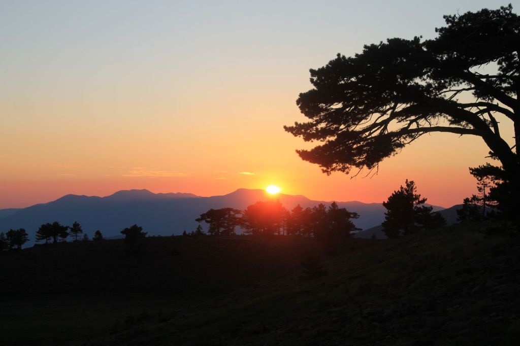
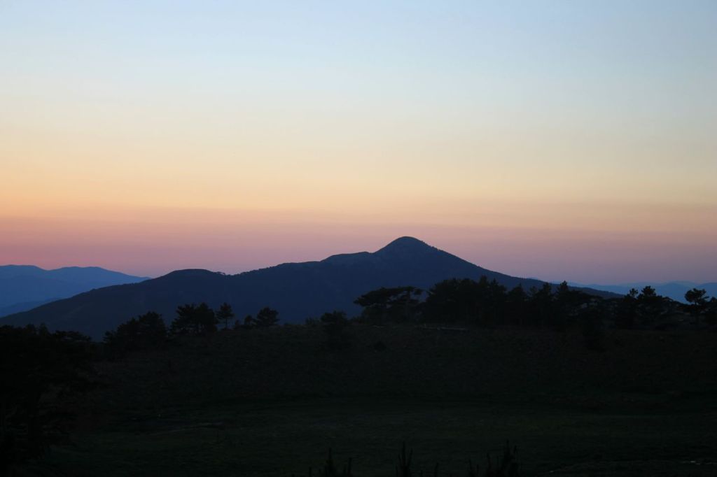
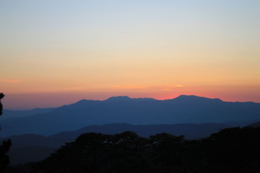
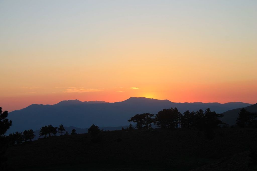
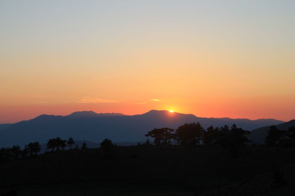
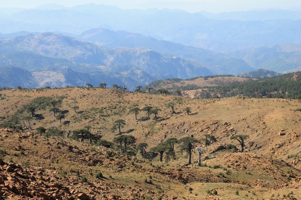
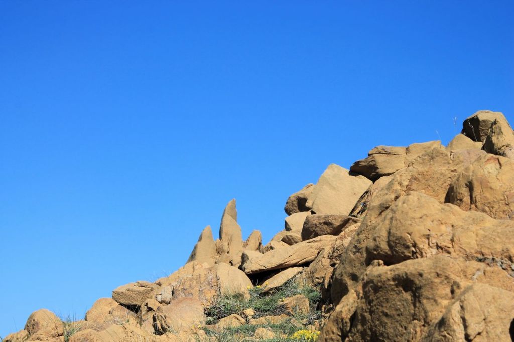
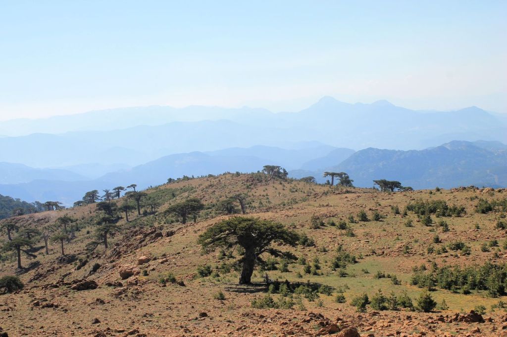
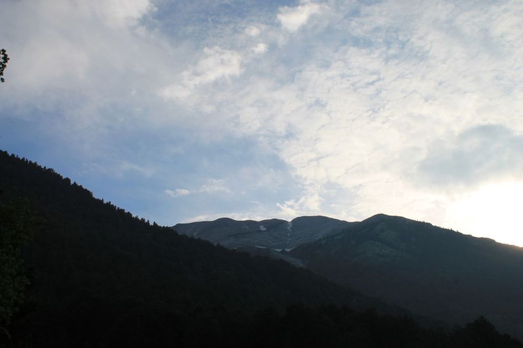
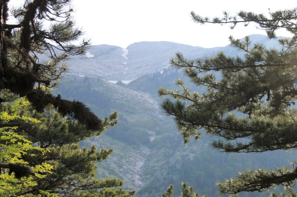
Turkiye. Sandras dağı (2295 m).
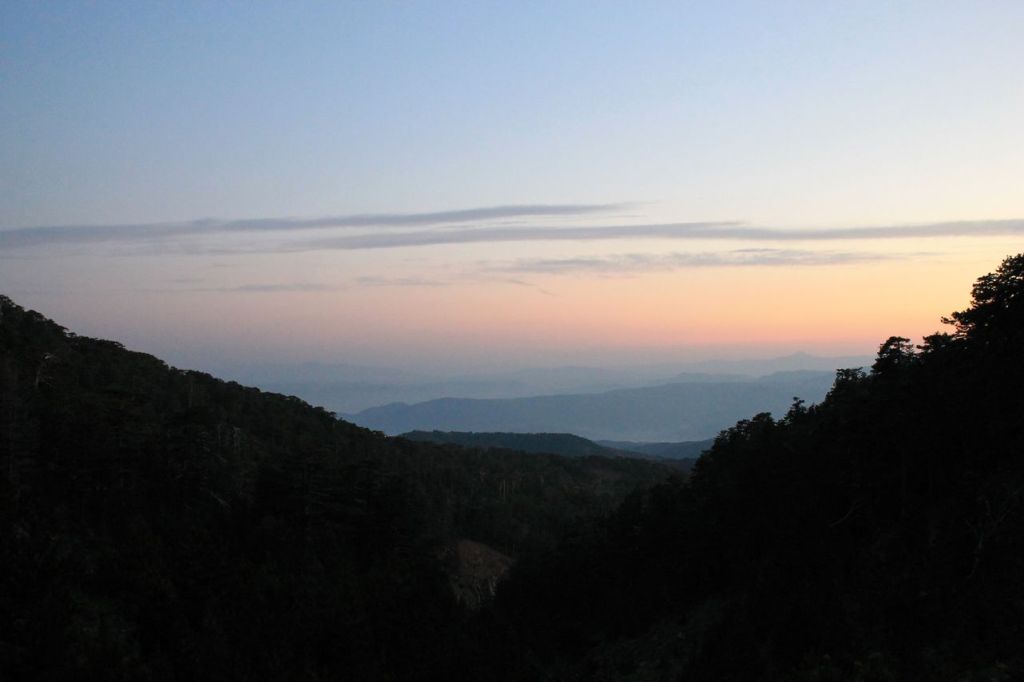
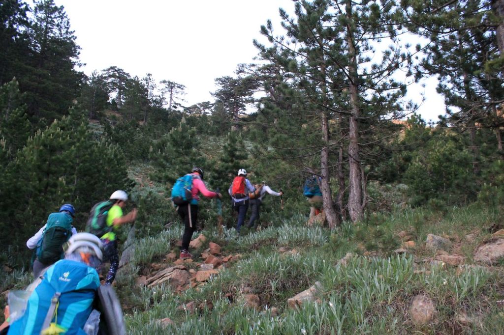
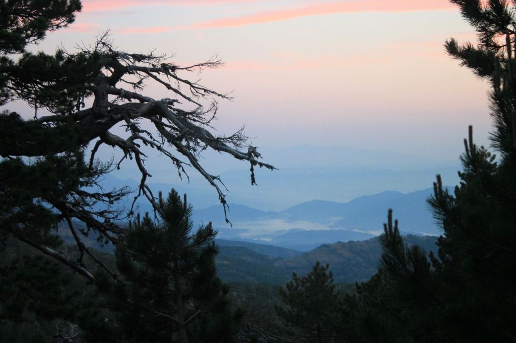
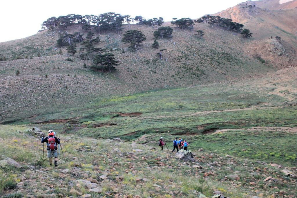
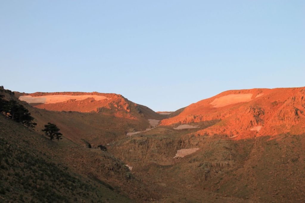
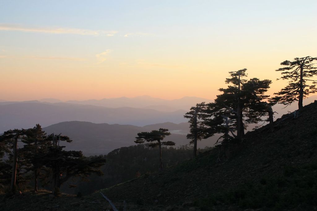
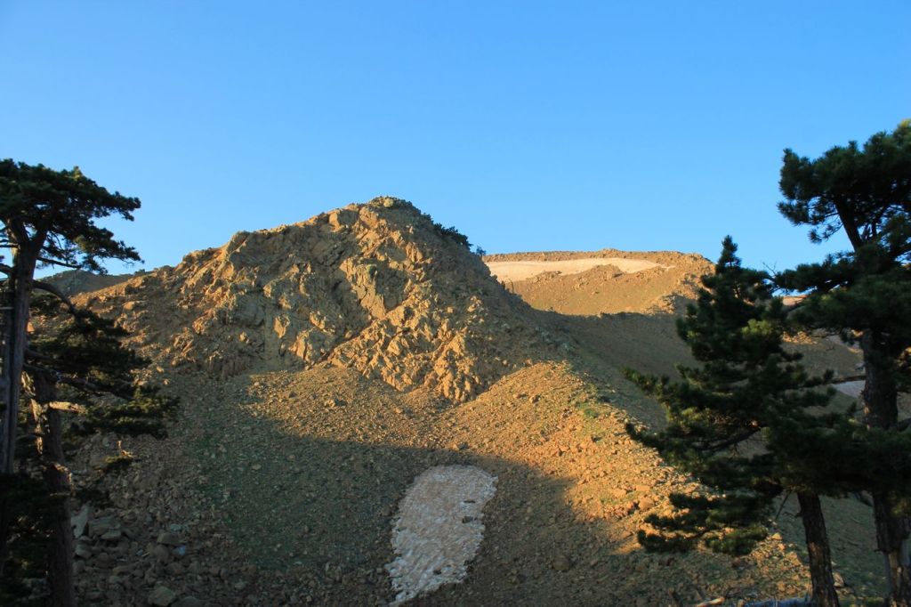
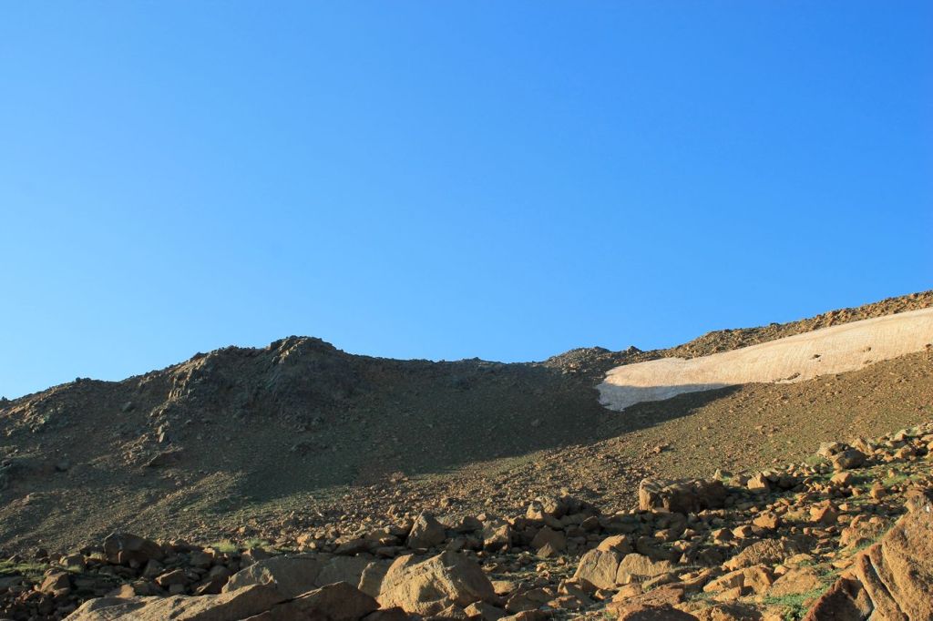
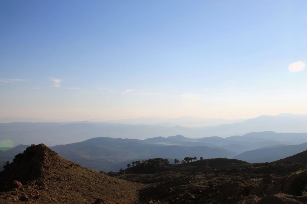
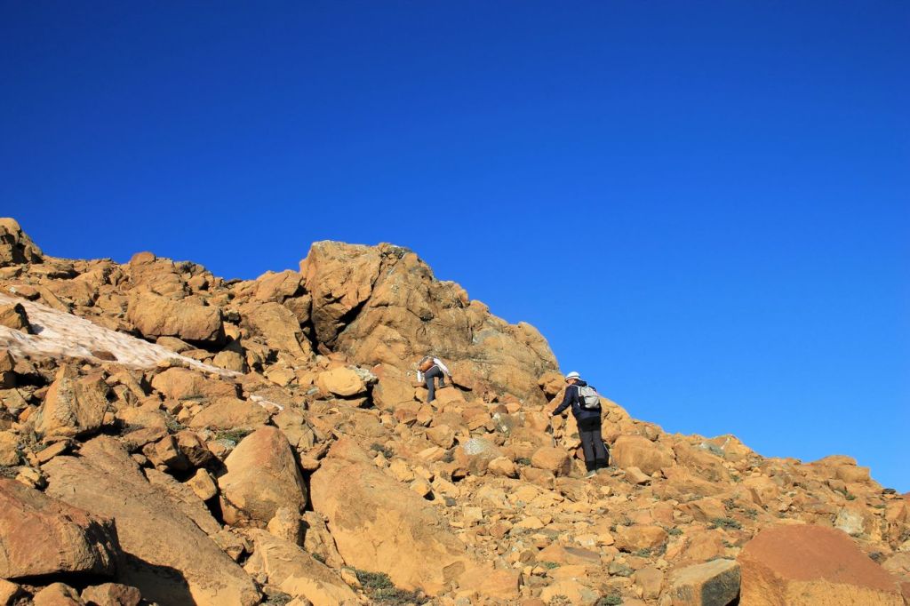
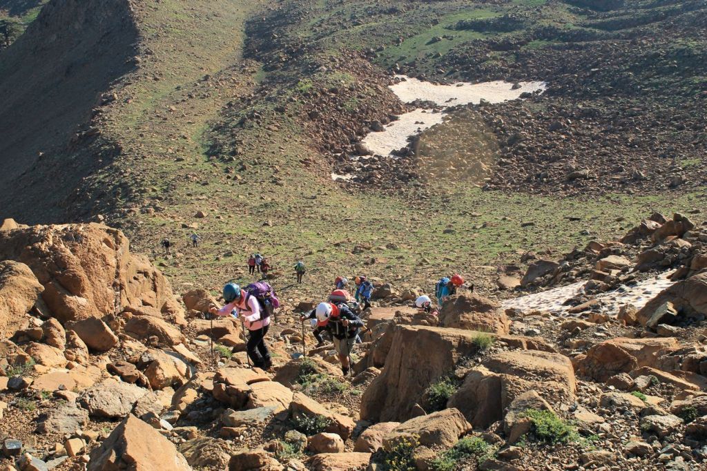
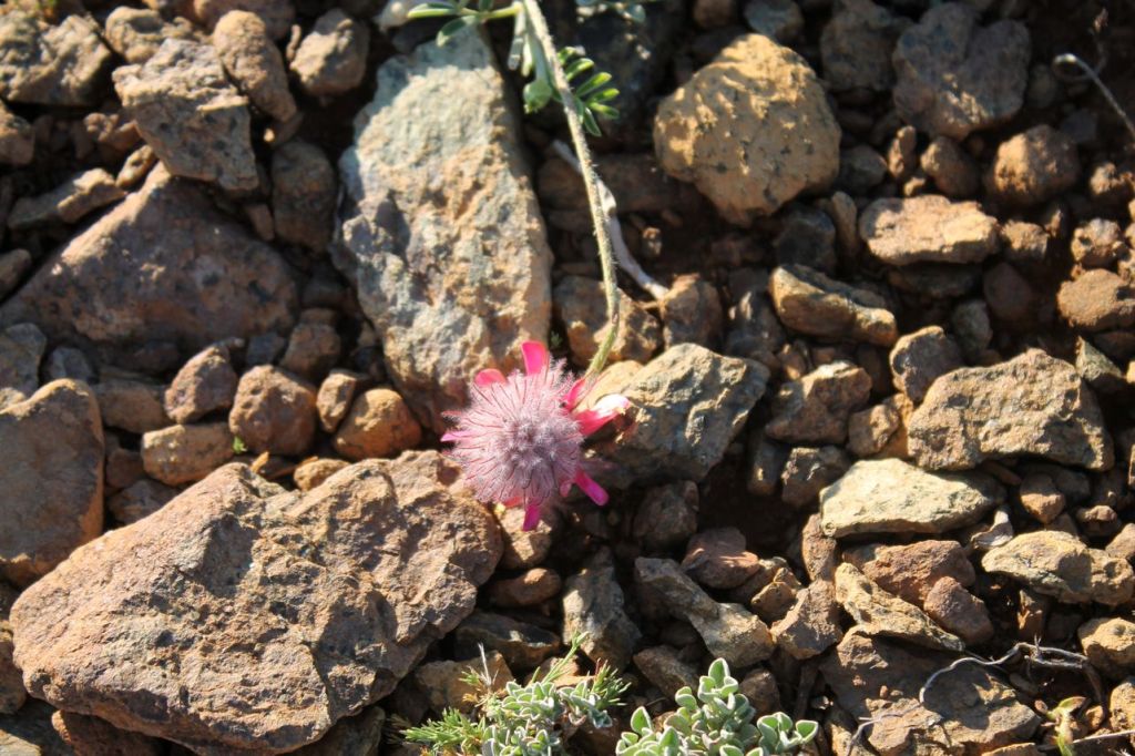
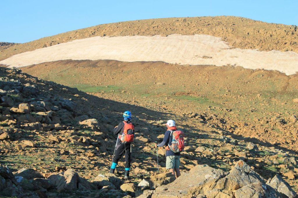
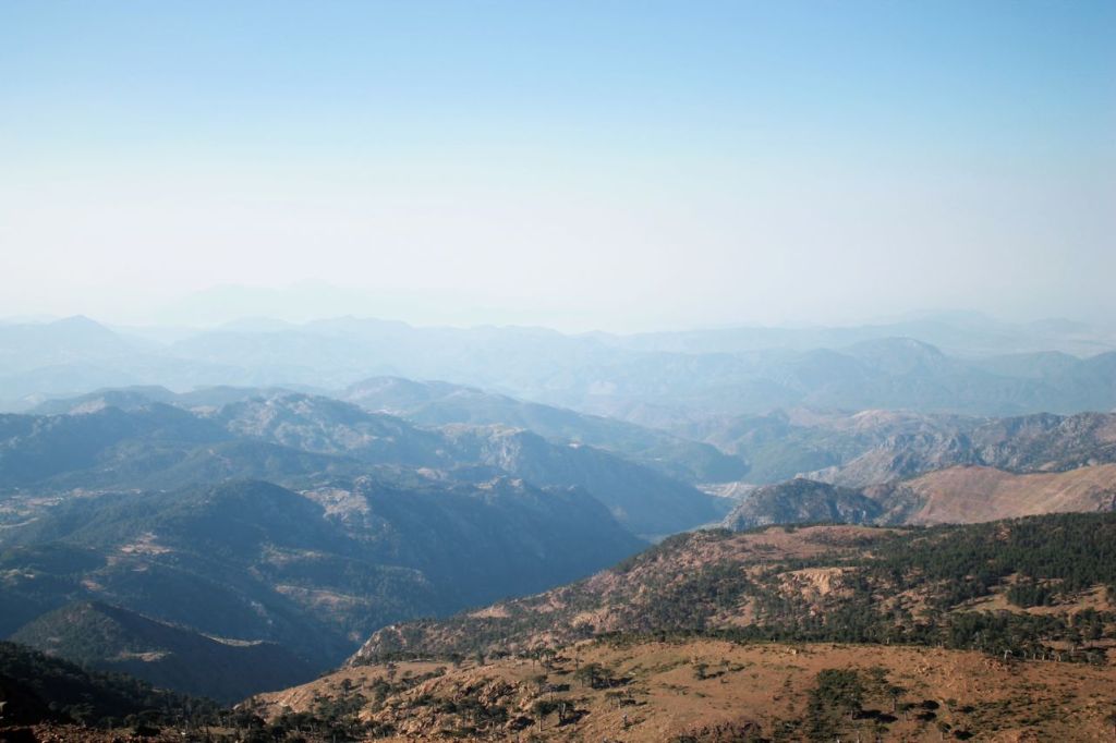
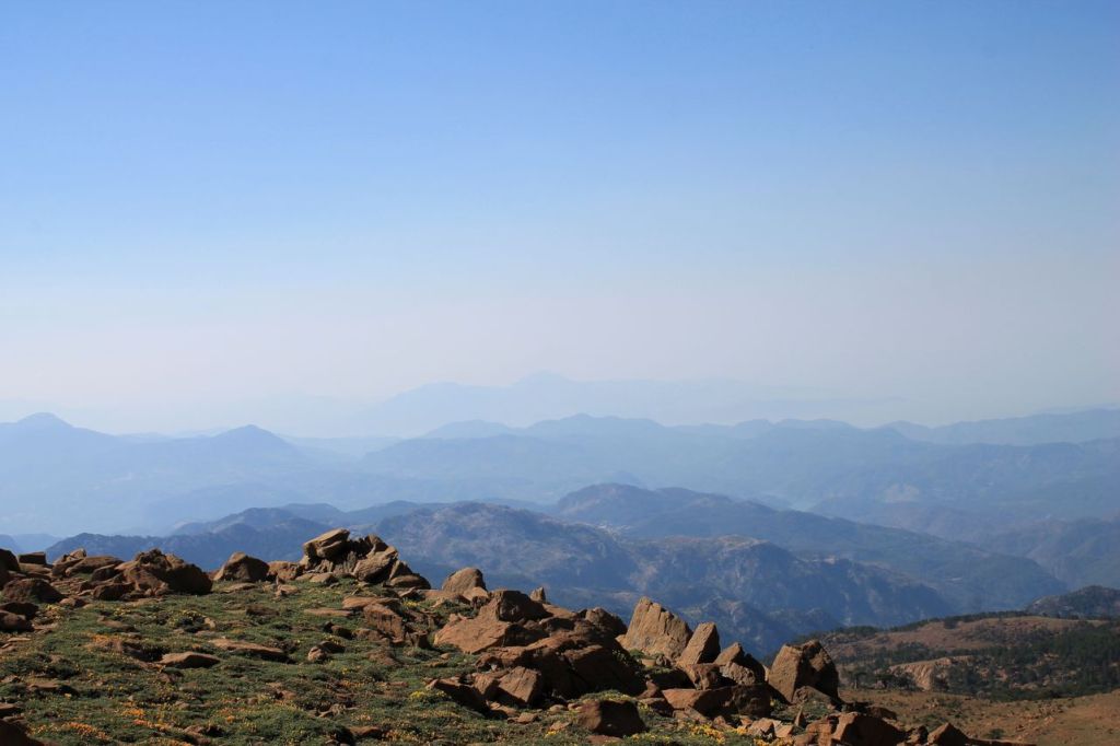
It was a hike with Idadik.org. It wasn’t a difficult hike, but it took us through some beautiful scenery. As usual, we left Izmir at night and arrived at the starting point very early, before dawn. Right there in the dark, we changed into our hiking gear and set off by the light of our headlamps. The trail wound through the forest, gradually climbing upward. By dawn, we had climbed above the tree line and were able to enjoy the sunrise in the mountains. It was beautiful. The weather was calm and windless, with no rain. Next came some rocky sections, but they were quite passable. There were no steep climbs either. So, little by little, we made our way to the summit. As usual, we took some photos, then began our descent. We made it down early, around 11 a.m. After that, a short bus ride to the coast awaited us, followed by some relaxation in the idyllic village of Ekincik. wikiloc
-
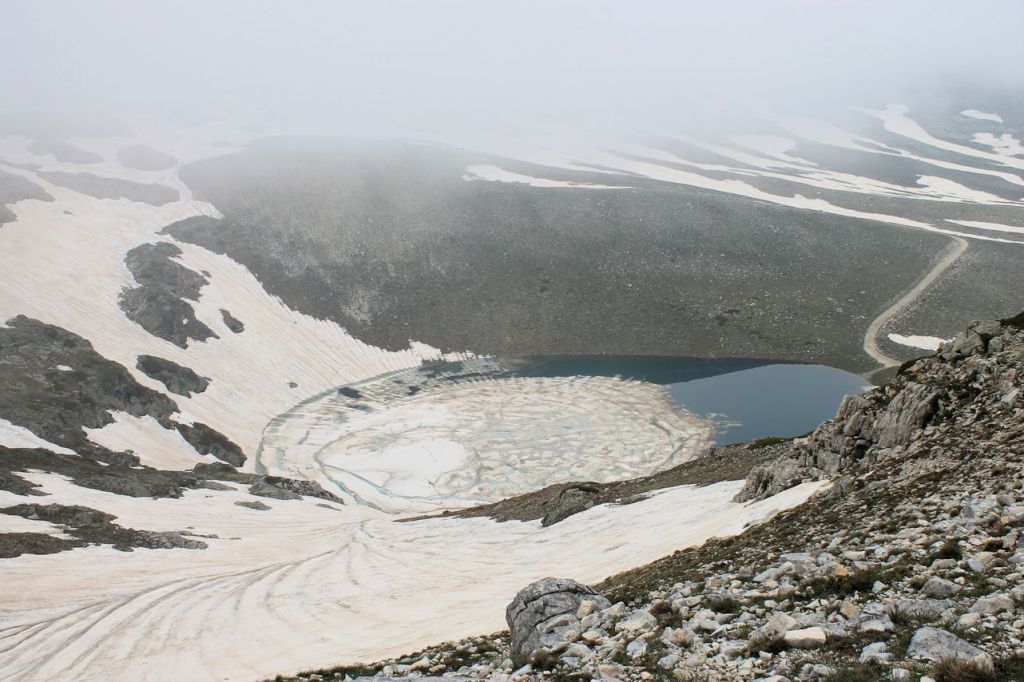
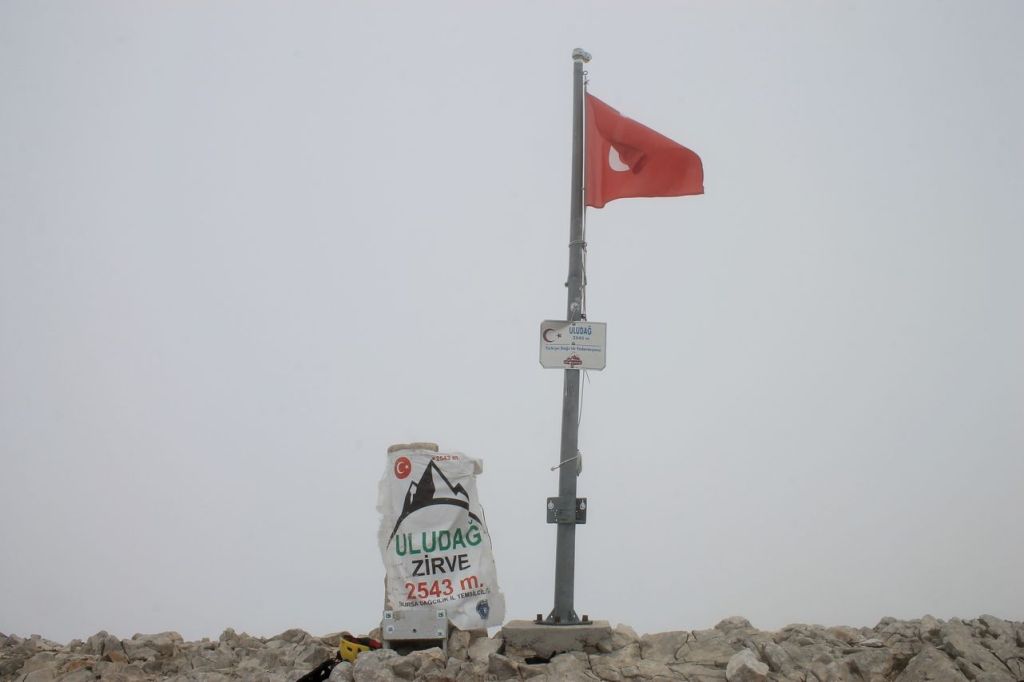
Turkiye. Uludağ Zirve (2543 m).
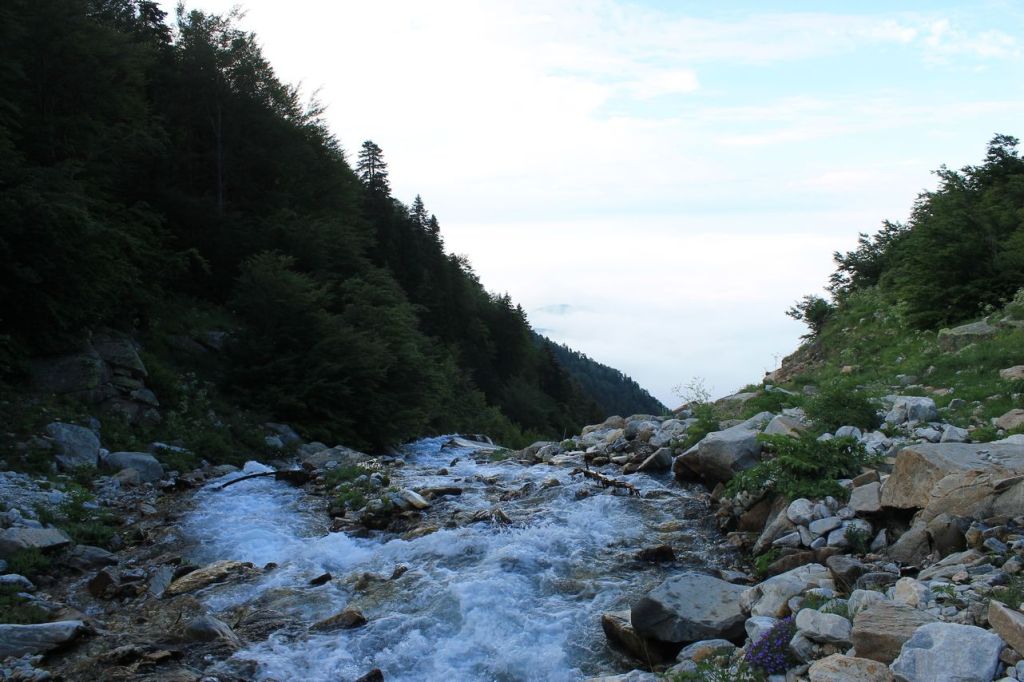
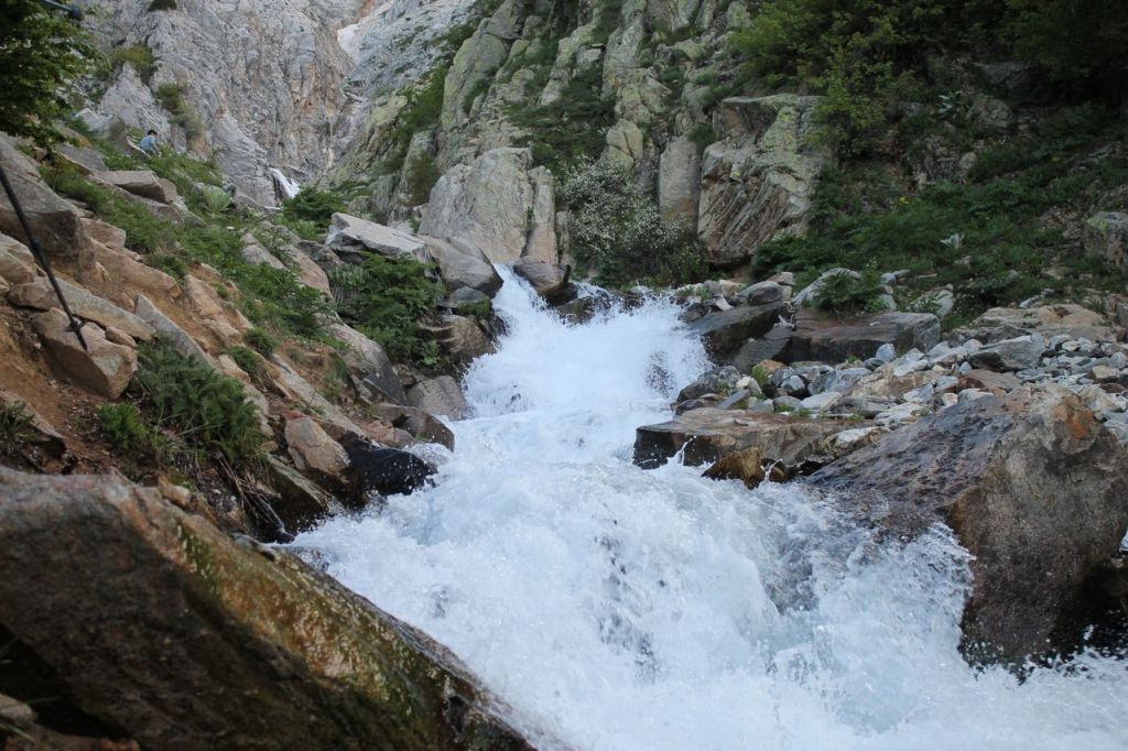
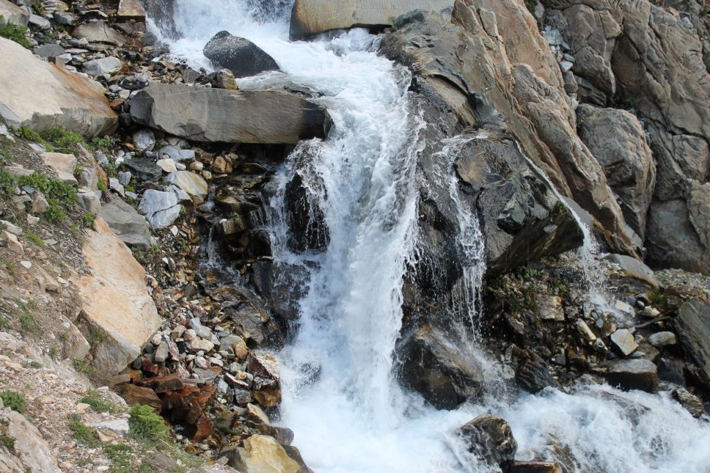
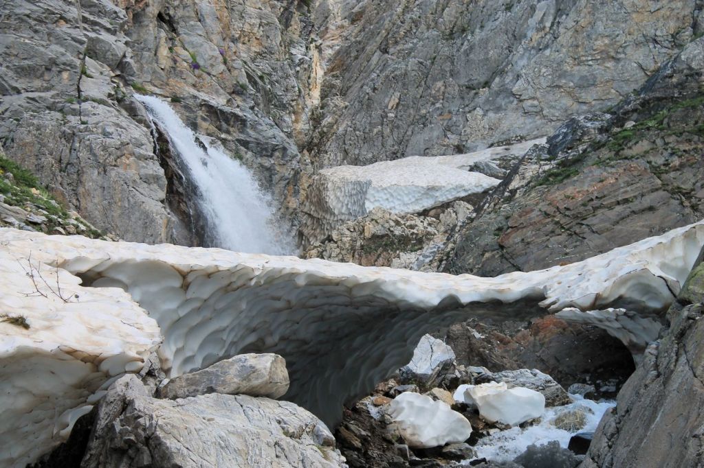
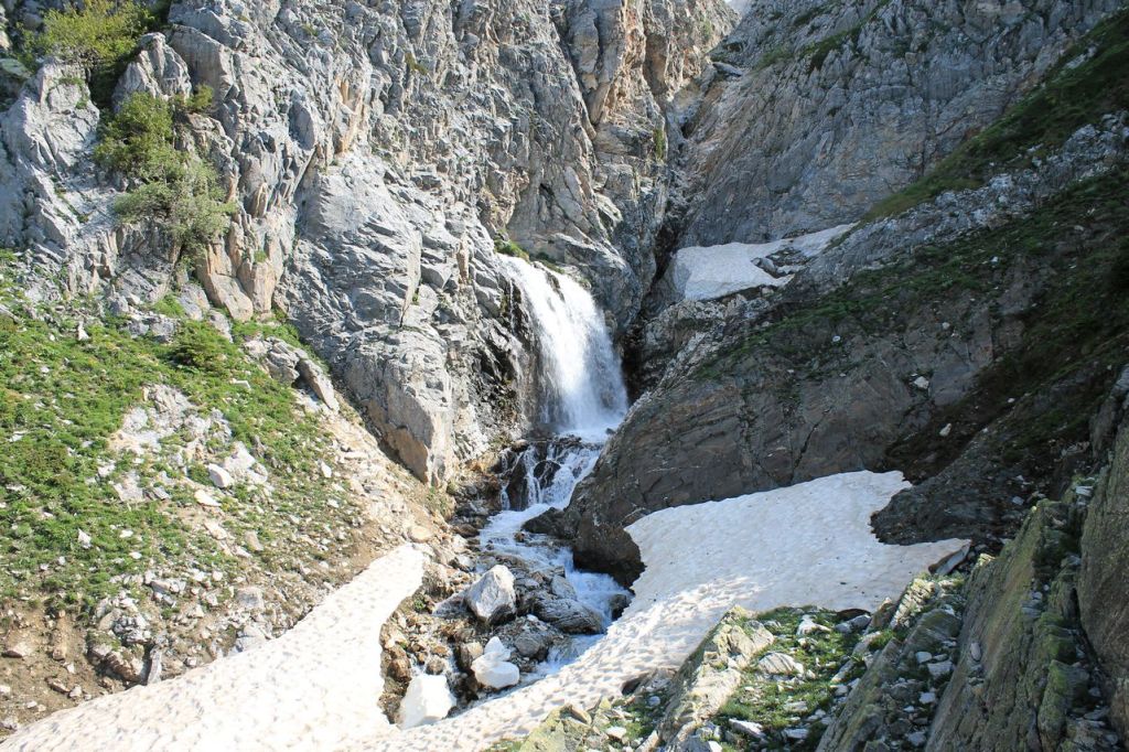
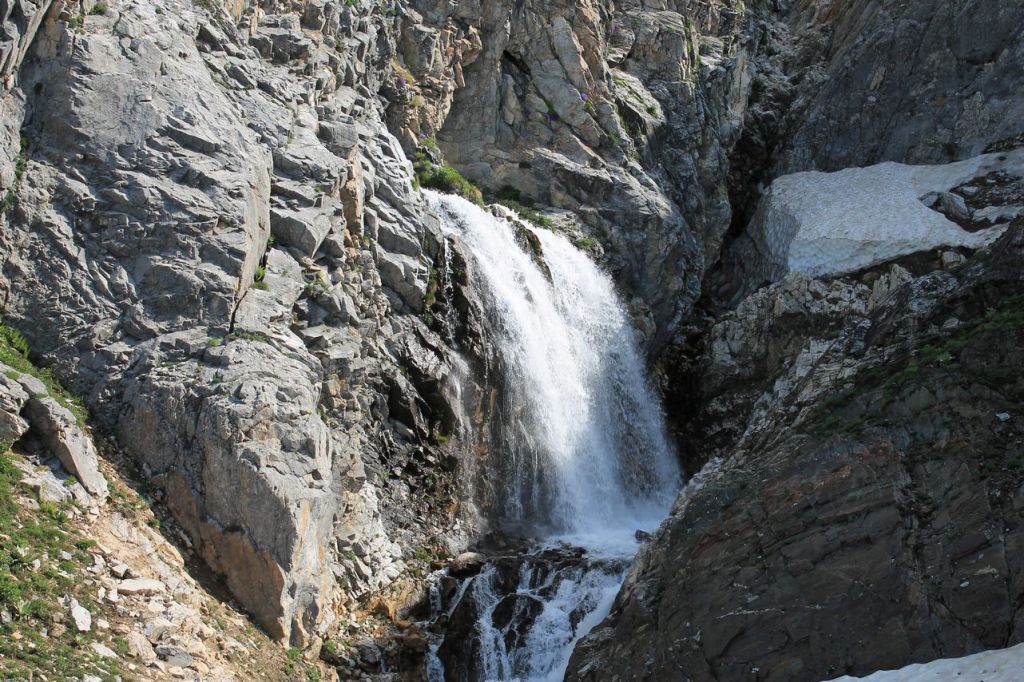
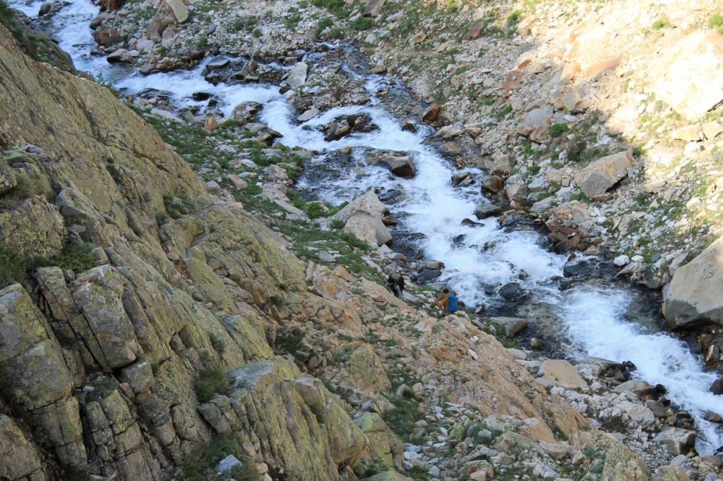
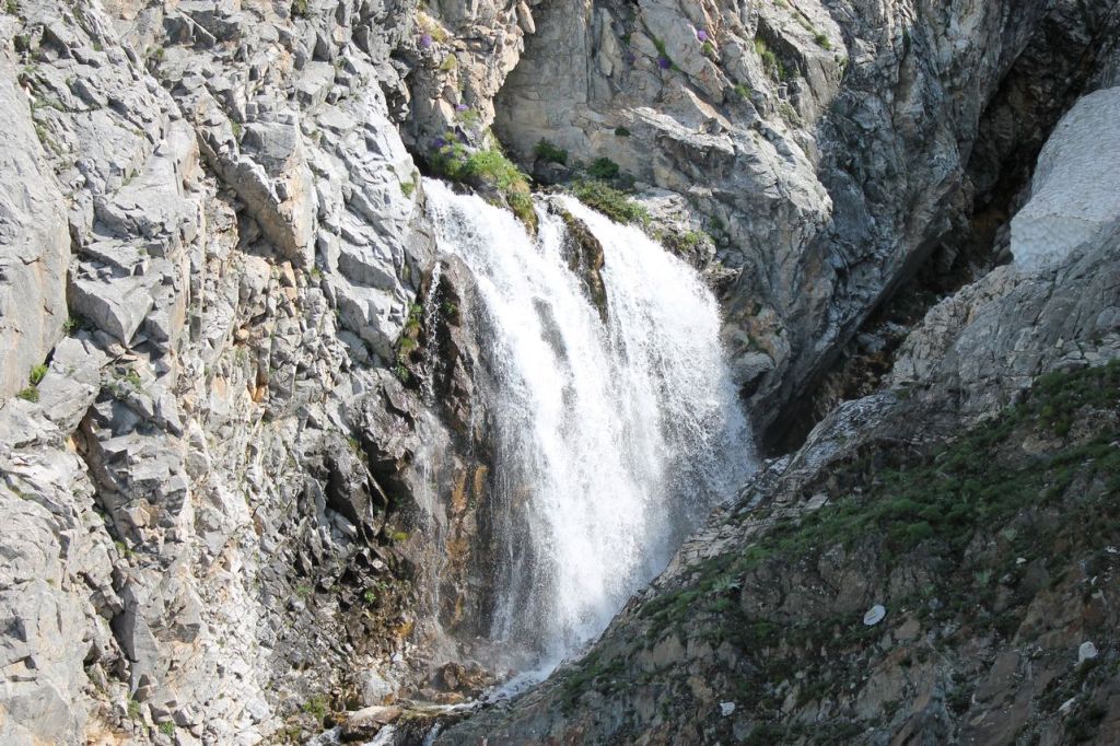
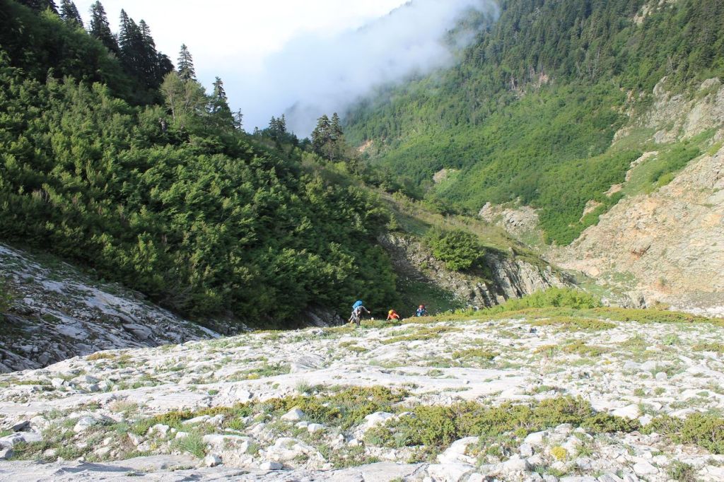
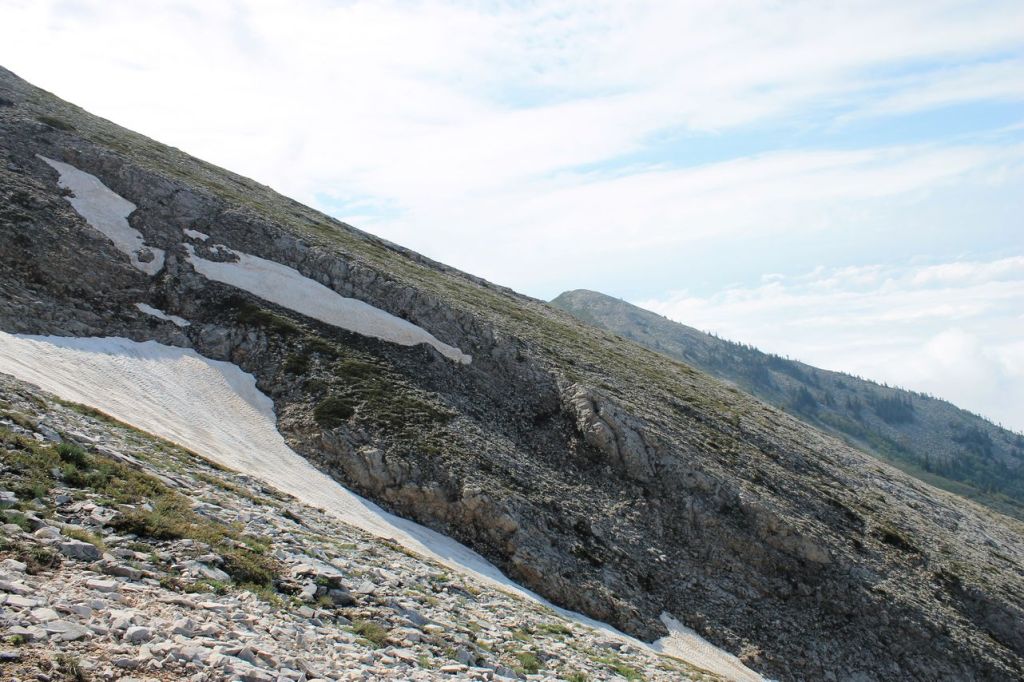
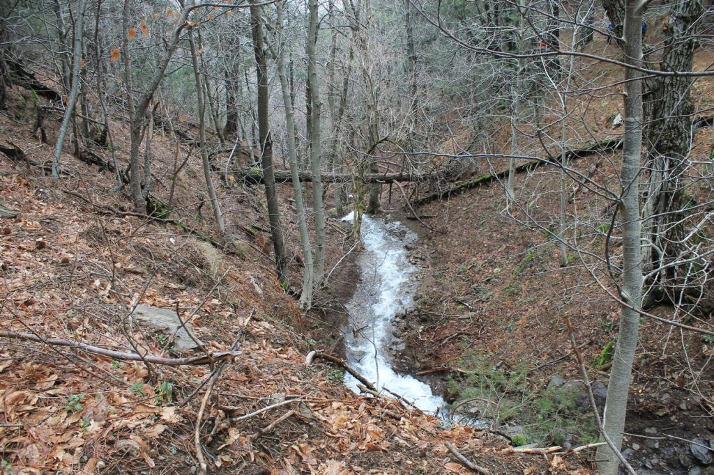
It was a hike with Idadik.org. We left Izmir by bus at midnight, heading for Bursa. At 3 a.m. we stopped for an early breakfast (sik!). Then we drove to the starting point, a small village where a tractor was waiting for us. We set off on the tractor at around 6 a.m. and reached the starting point about half an hour later. The forecast had predicted rain in the middle of the day, but it was clear for the time being. The sun began to rise. We climbed slowly and easily up the path through a beautiful coniferous forest. That’s how we reached the mountain stream we had to cross. The stream wasn’t wide or deep, but it had a typical mountain character. Our guide, Ergun, had been thoughtful enough to prepare a rope for the crossing. First, he crossed the river himself, and then he guided the whole group across using the rope. The river originates from a beautiful waterfall. The snowfields in the mountains hadn’t melted yet, so the waterfall was in all its glory!
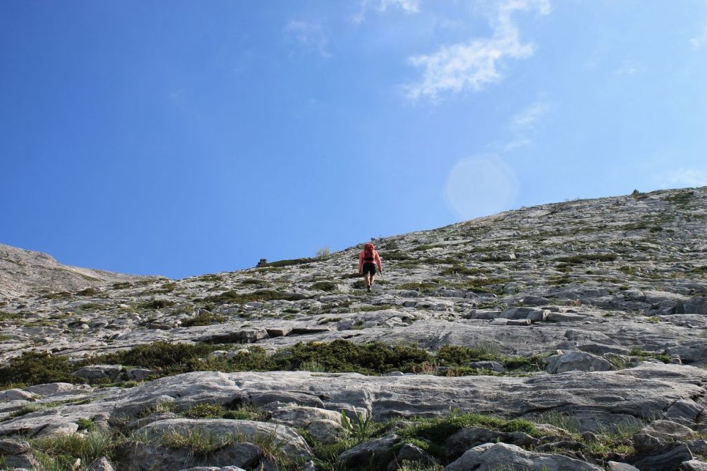
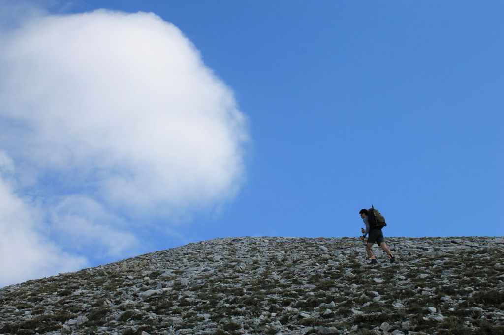
After taking in the beautiful scenery, we began the climb up Little Uludag, and it was quite a challenge – no descents, just a steep ascent! At least it wasn’t raining and the temperature was comfortable. We finally made it to the top around 11 o’clock, took a moment to enjoy the view, and stopped for lunch.
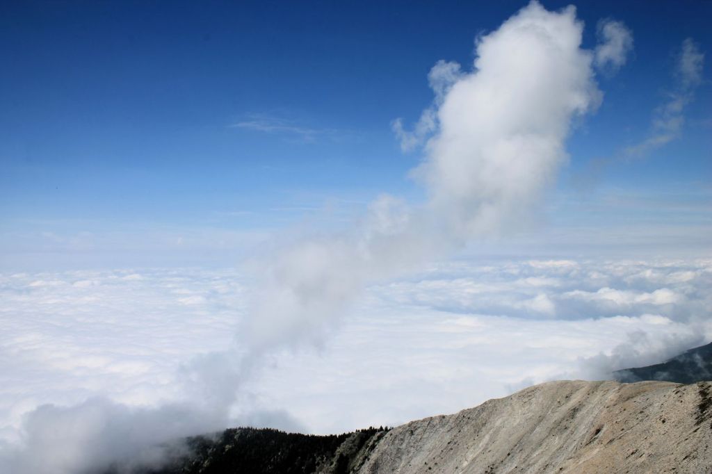
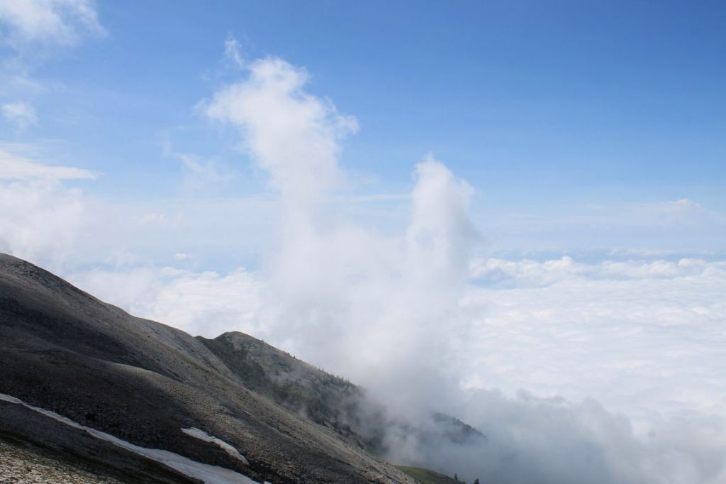
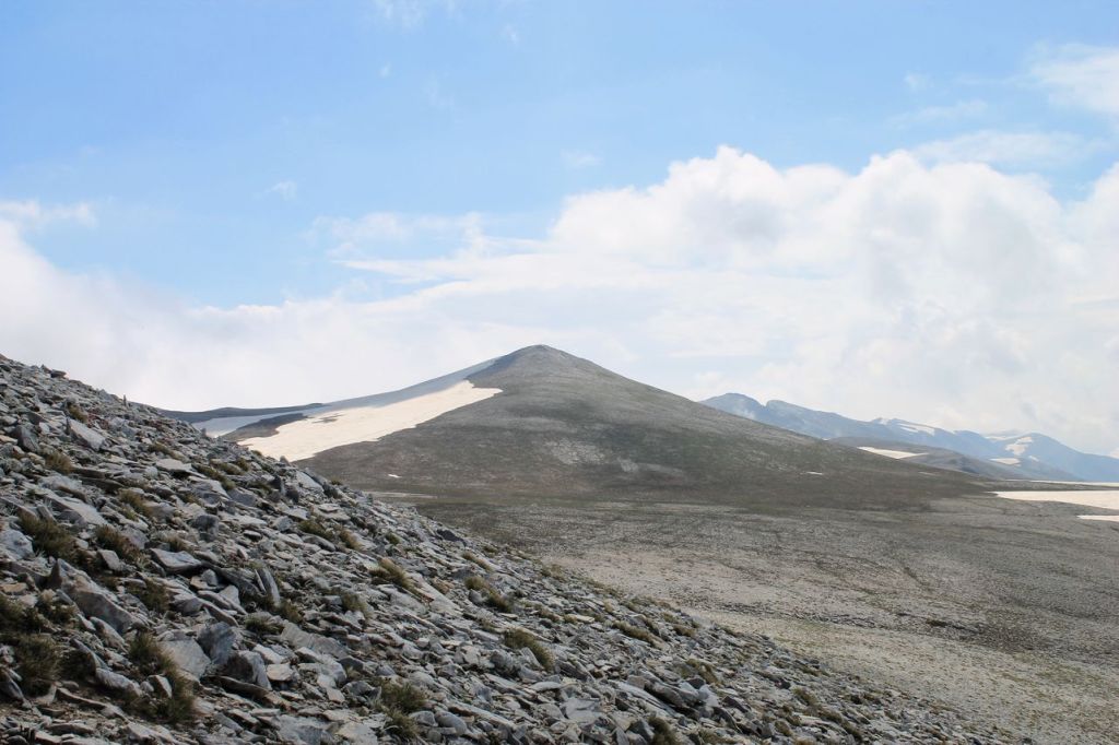
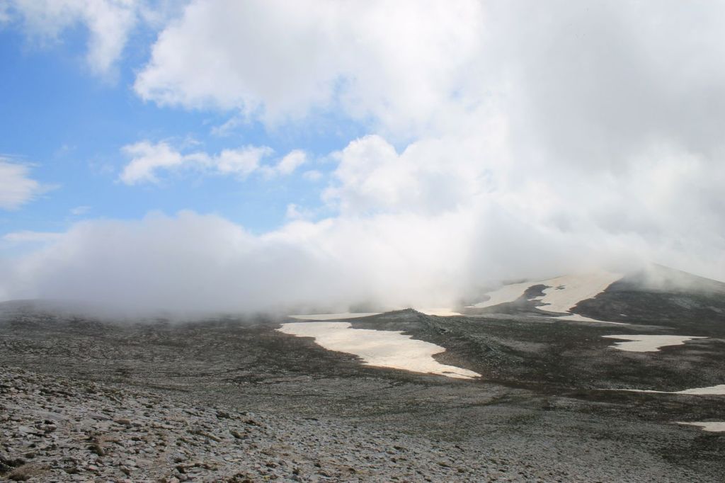
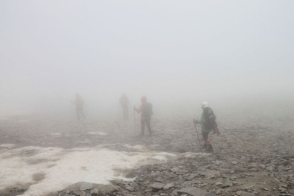
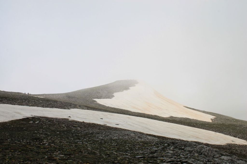
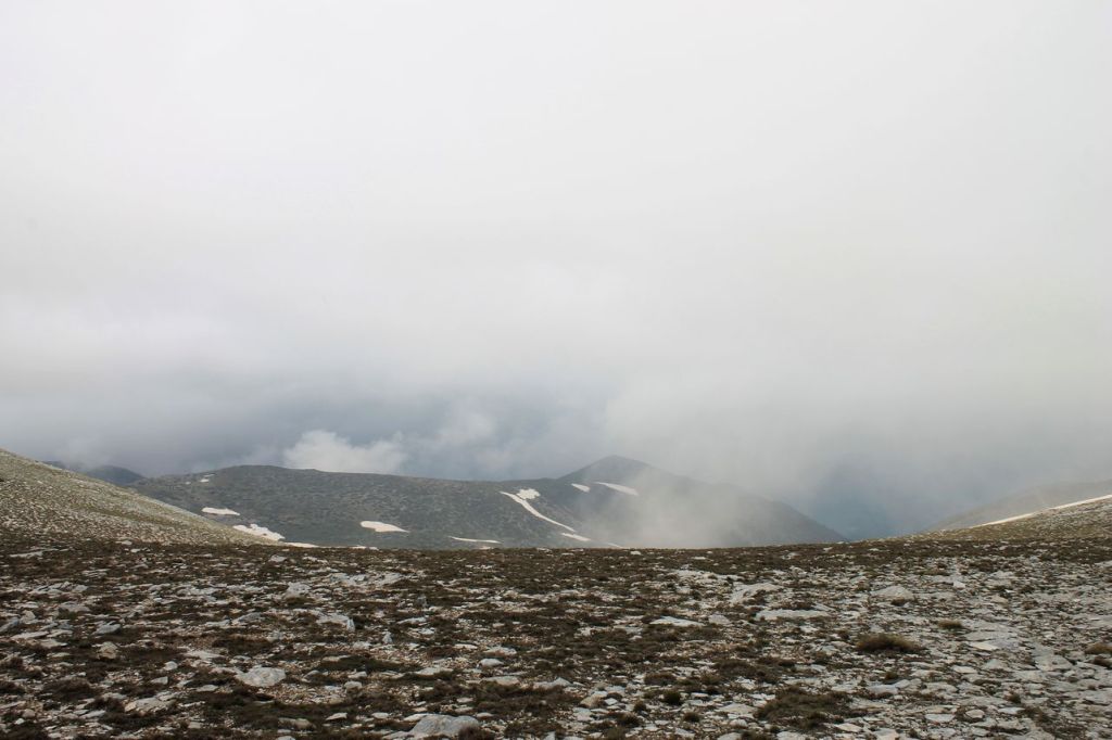
After the break, we set off towards the summit of Big Uludag. First there was a slight descent, then a gentle climb. Nothing too difficult. But then the fog began to thicken, and visibility dropped to just a few metres. We were walking as if in a thick fog. We are, of course, extremely grateful to our guides, who knew the route to the summit so well.
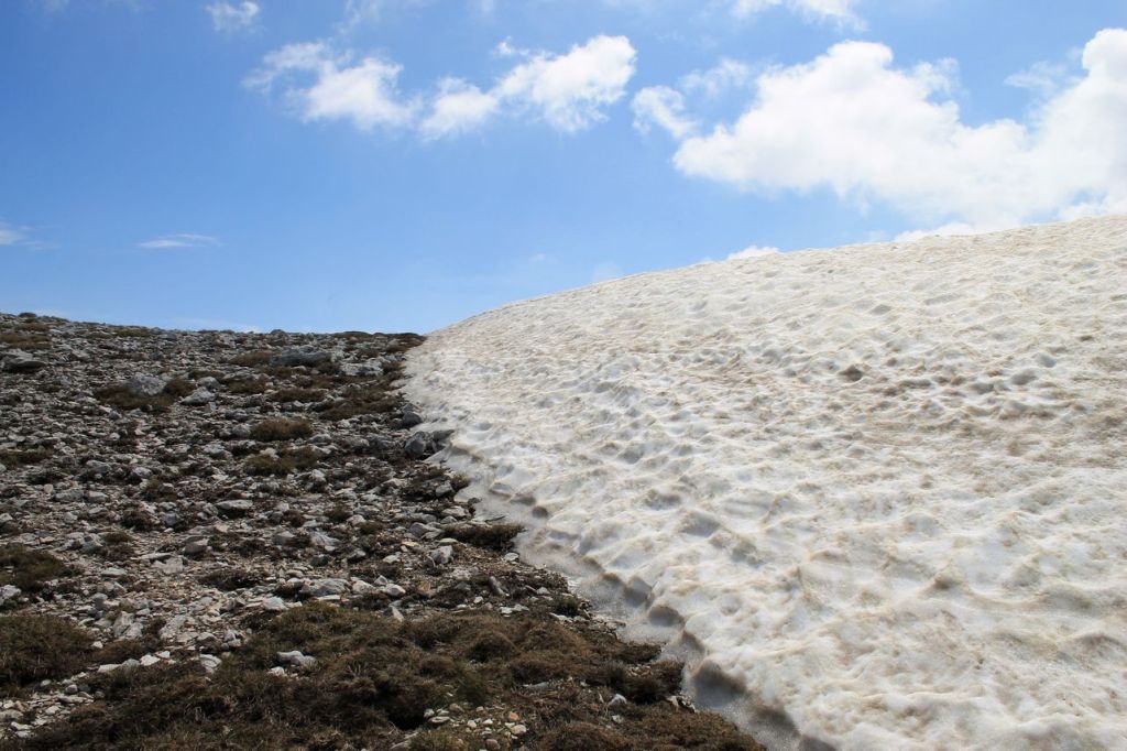
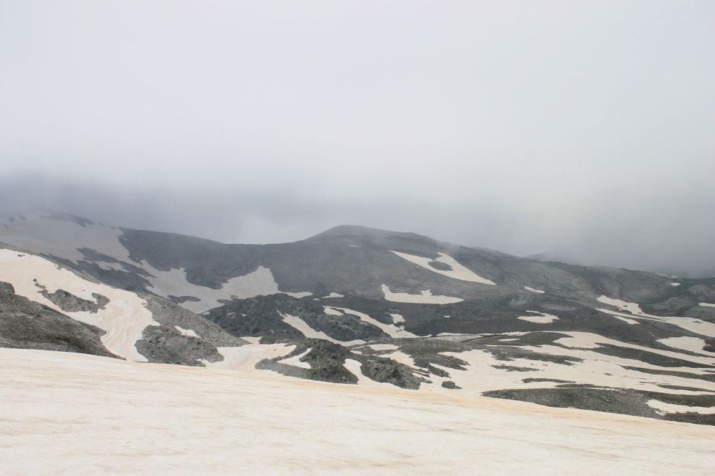
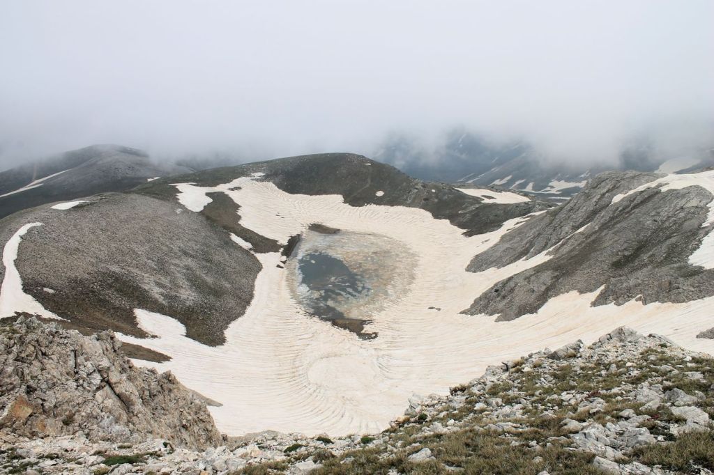
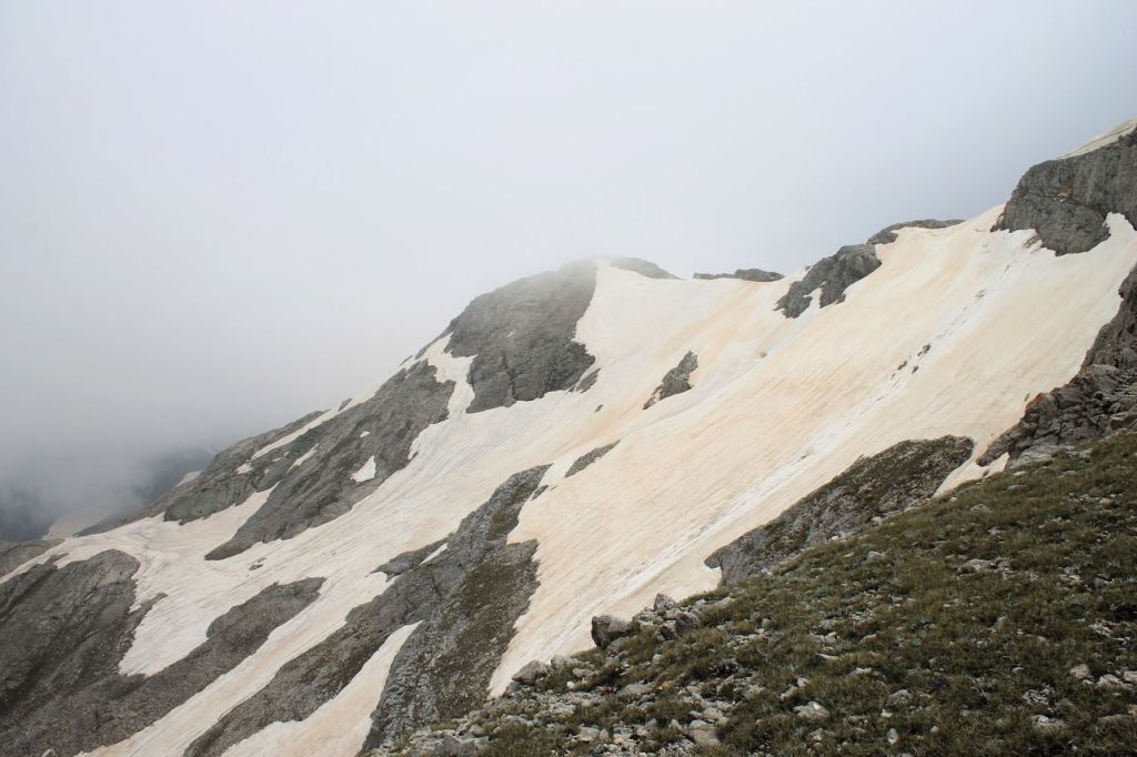
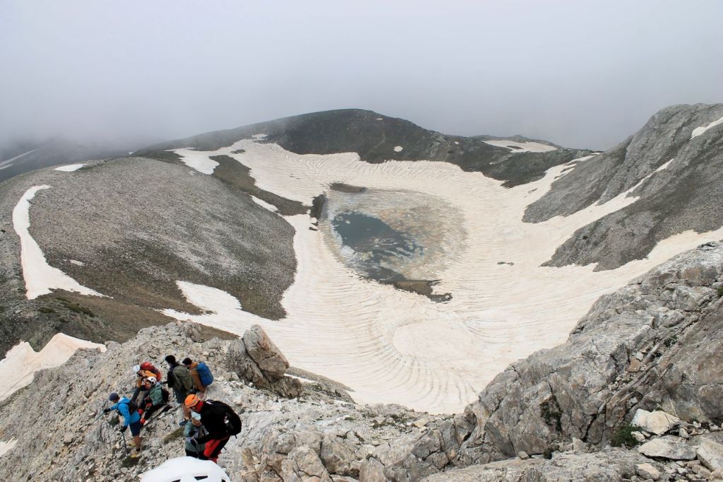
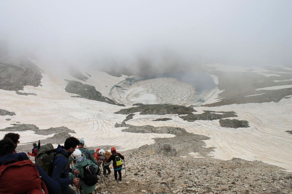
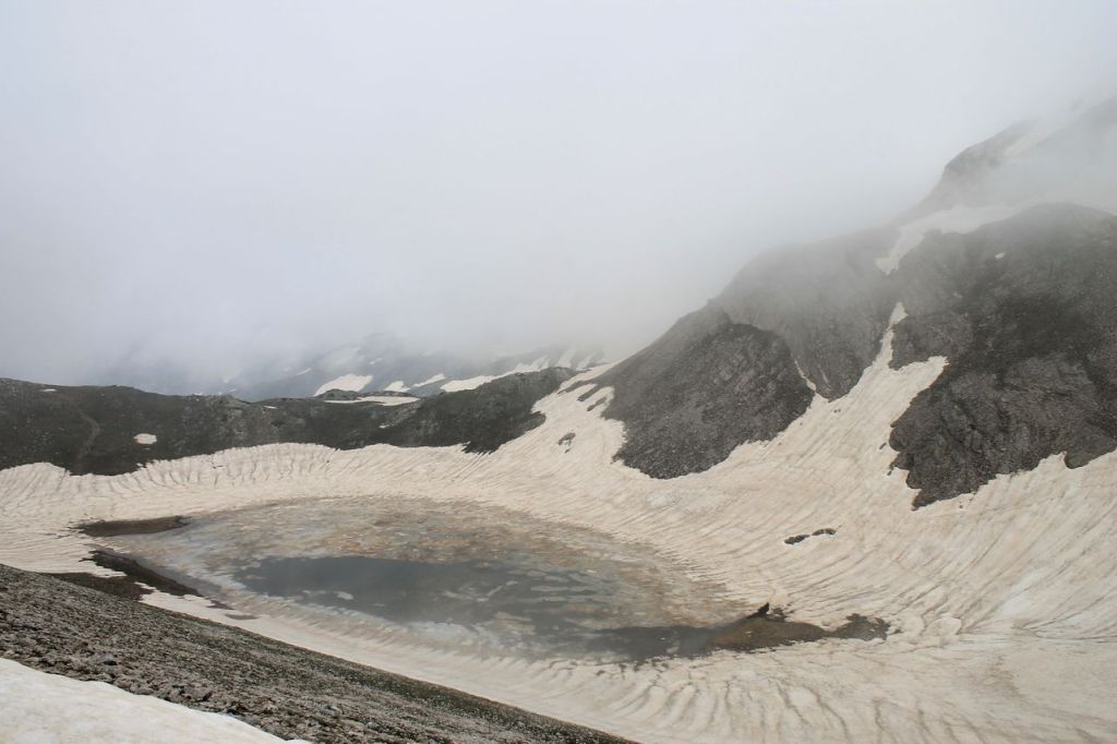
We successfully reached the summit, had a photo shoot, took a break, and set off back down. We had a beautiful descent along the ridge, with a mountain lake on either side – it was as if we were walking along the nose of a giant, with eyes on either side! Amazing! We made our way down to the country lane, and that’s when it started to rain. We still had a long way to go, but all my companions were ready for the challenge. As well as the rain, we had to walk across snowfields several times, which completely blocked the path. And I lost count of how many times we had to cross the streams and rivers flowing from beneath those snowfields!
We were gradually getting more and more tired, as we’d hardly slept a wink on the bus that night, and it was already past 6 pm. The rain just kept falling, and we were desperate for some kind of miracle – perhaps a passing tractor would turn up! But then the heavens took pity on us – the rain stopped, and the sun even peeked through.
We made our way back to the bus at 8.30 pm. Once we’d waited for the rest of the group, who were scattered along the road, we set off on the return journey. I personally fell asleep straight away. At around 11 pm, we stopped for dinner at a lovely roadside eatery – so that the journey would be more pleasant on a full stomach. We reached Izmir at 3 am. It had been a very long day – about 32 km long! wikiloc
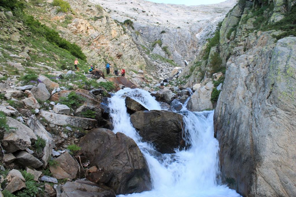
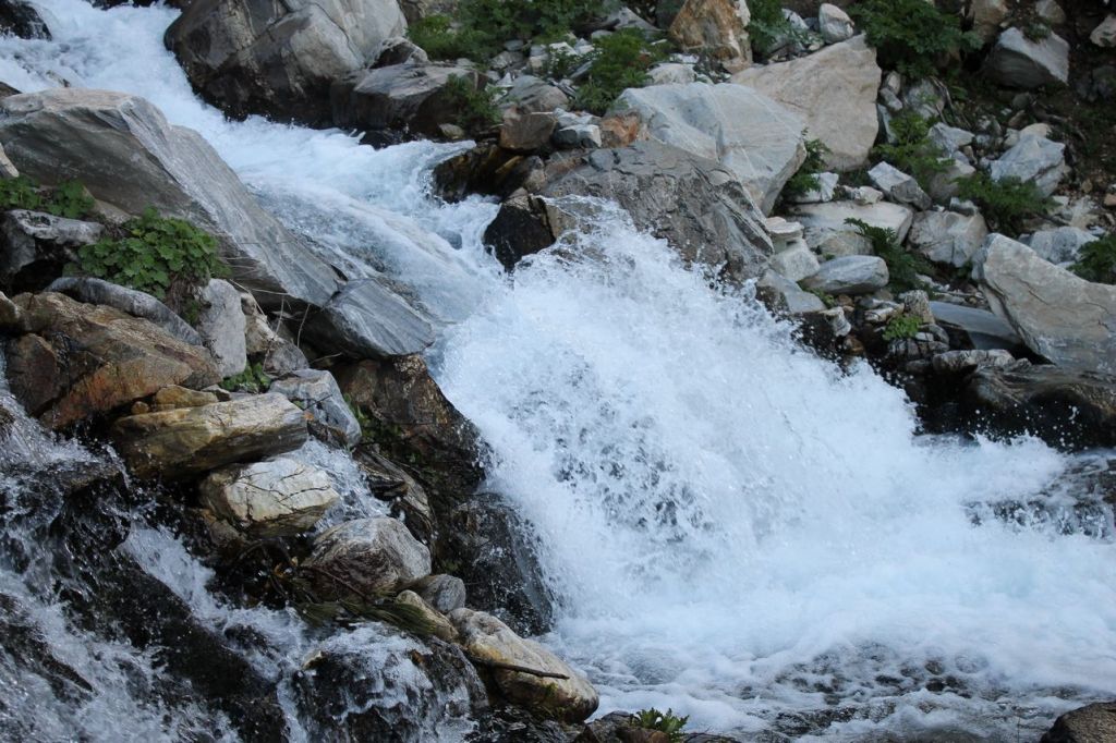
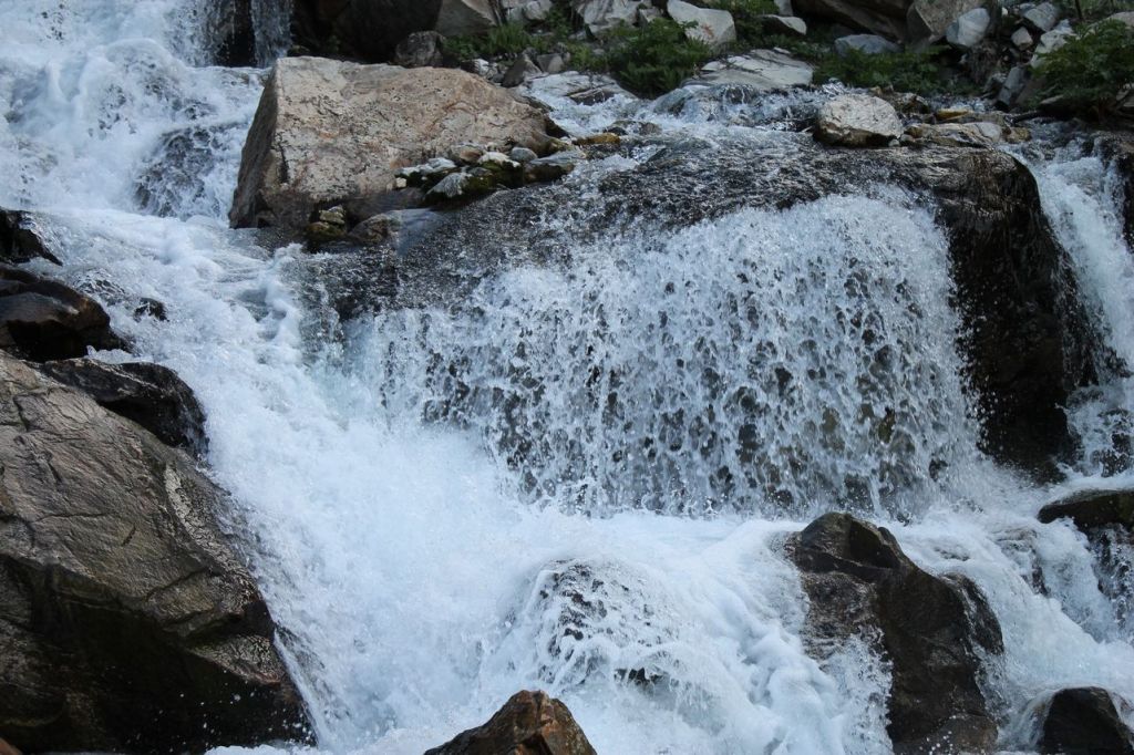
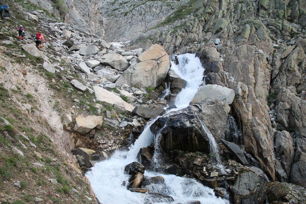
-
Turkiye. Catalkopru – Karayuz Canyon
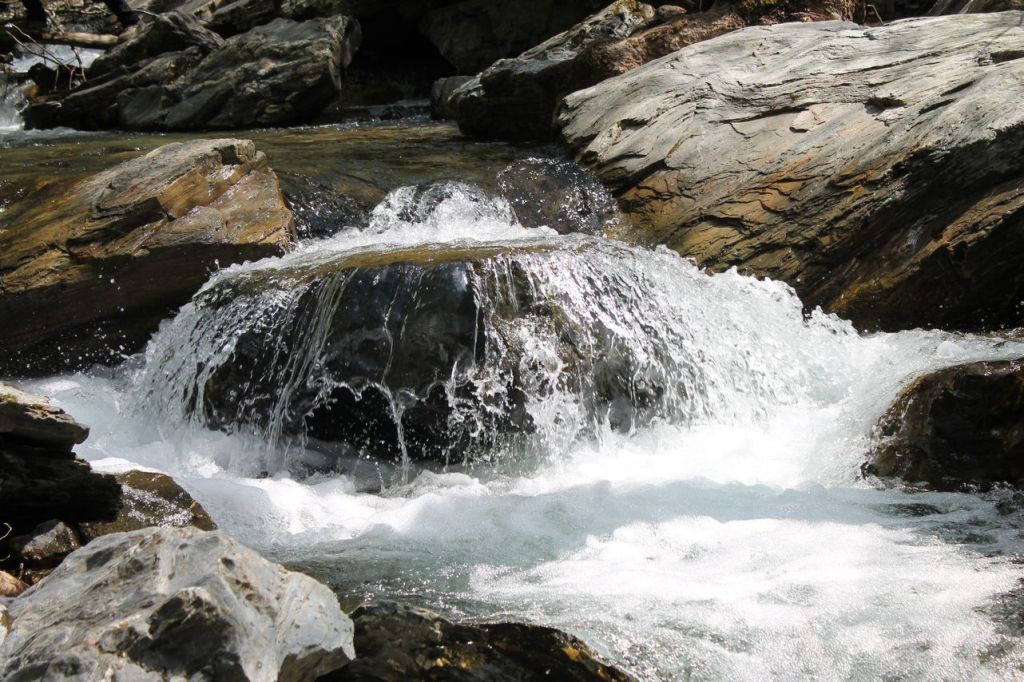
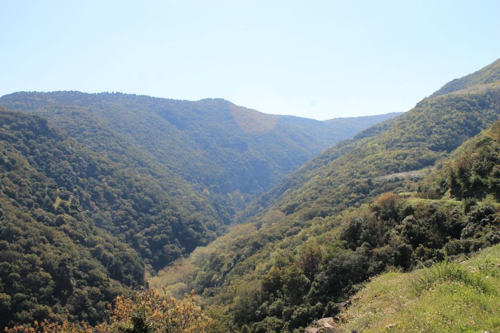
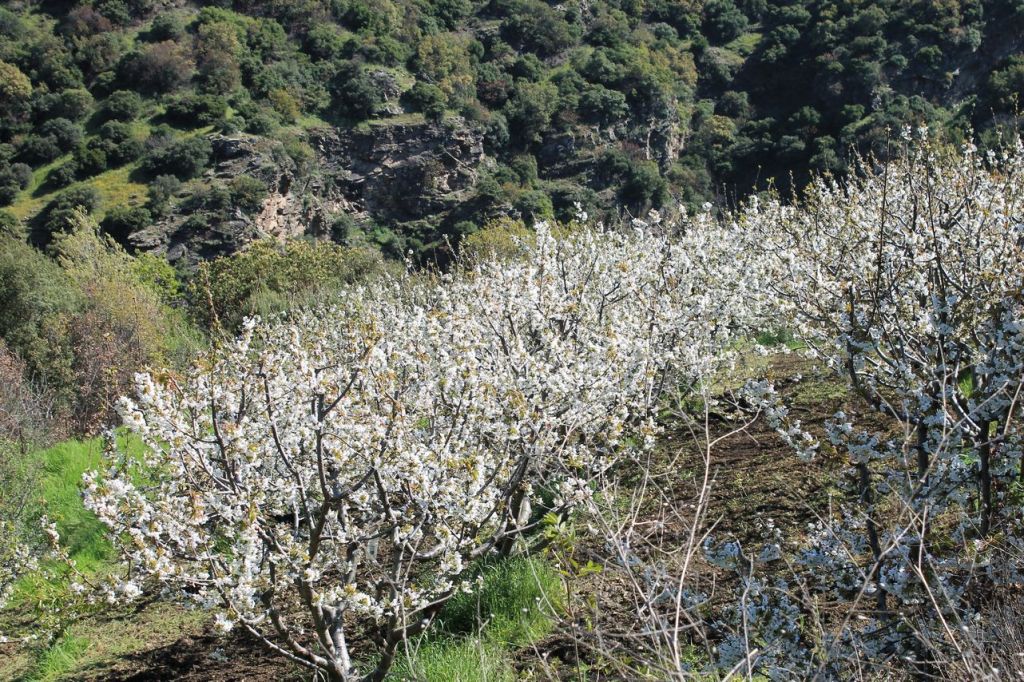
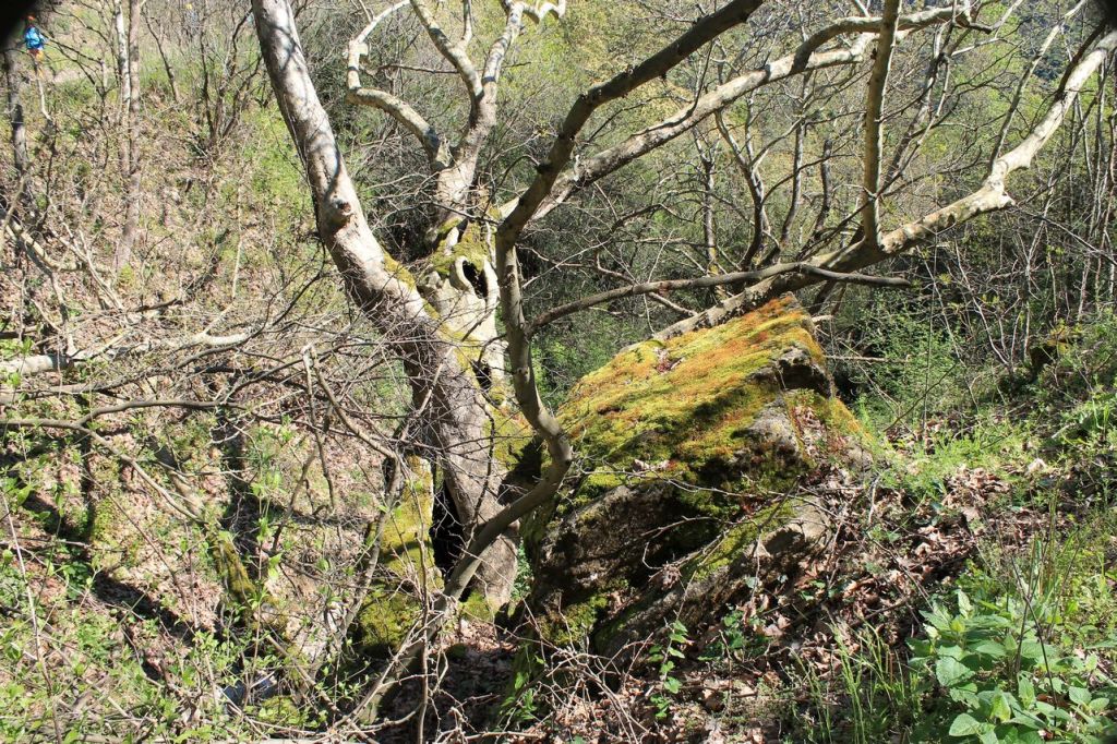
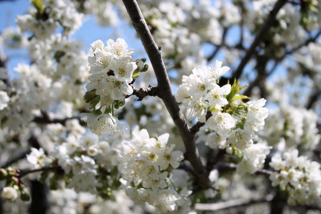
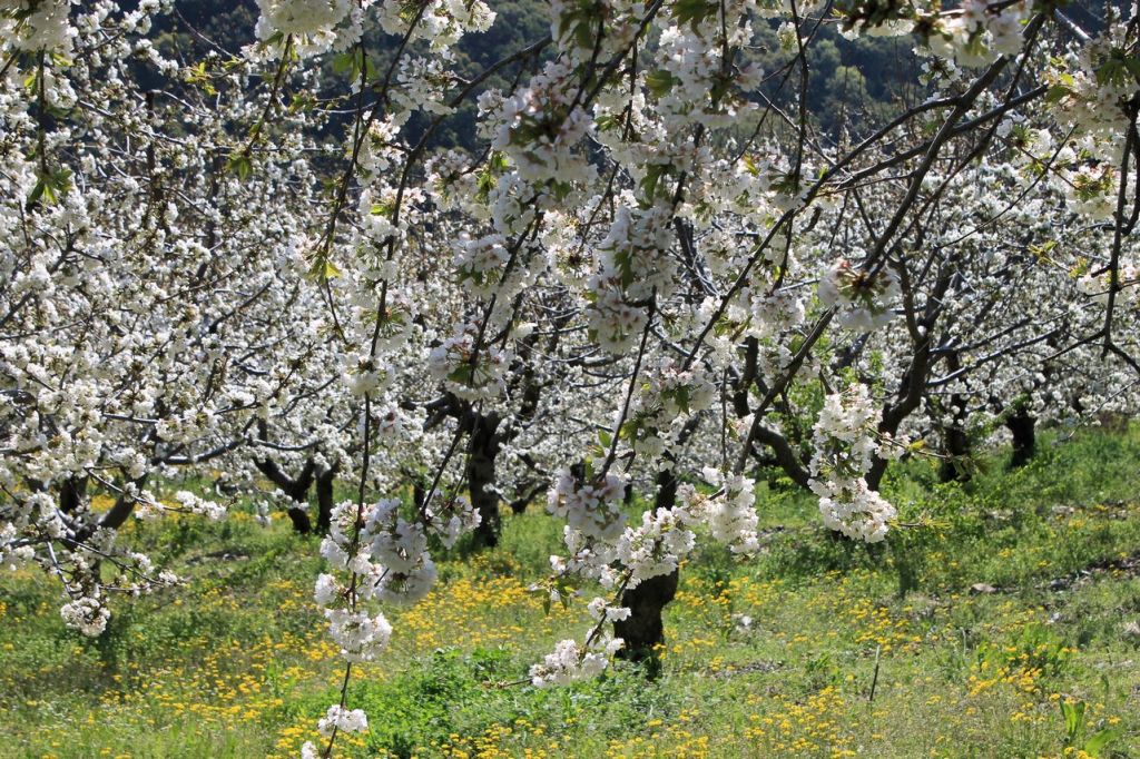
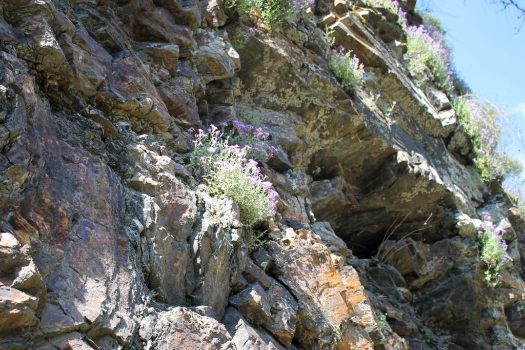
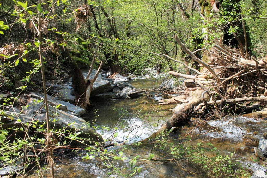
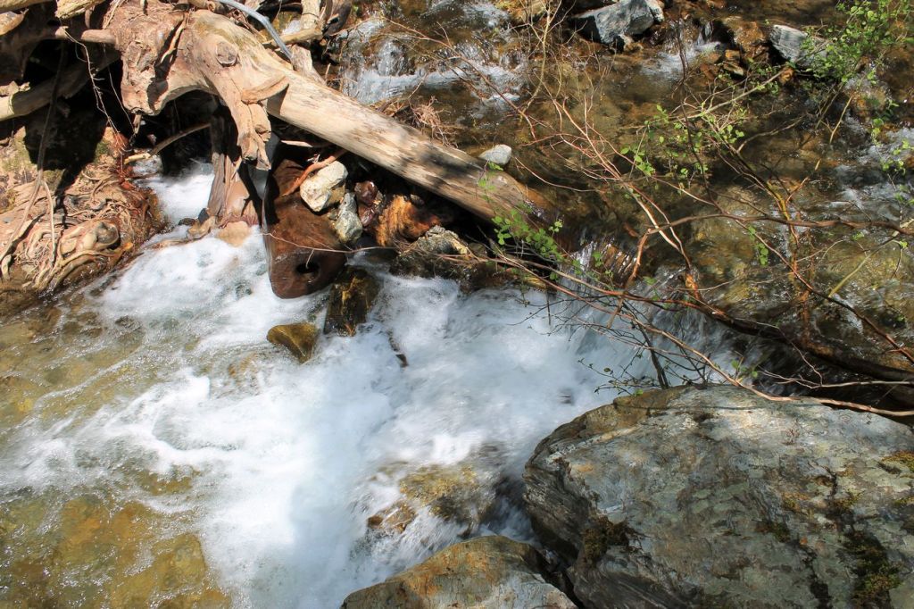
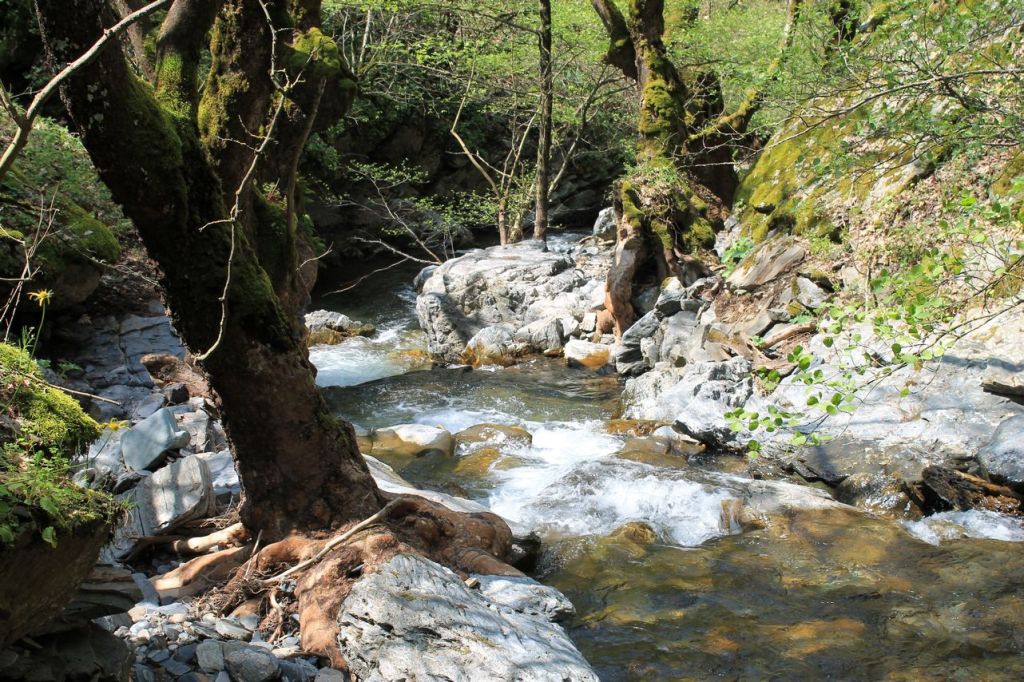
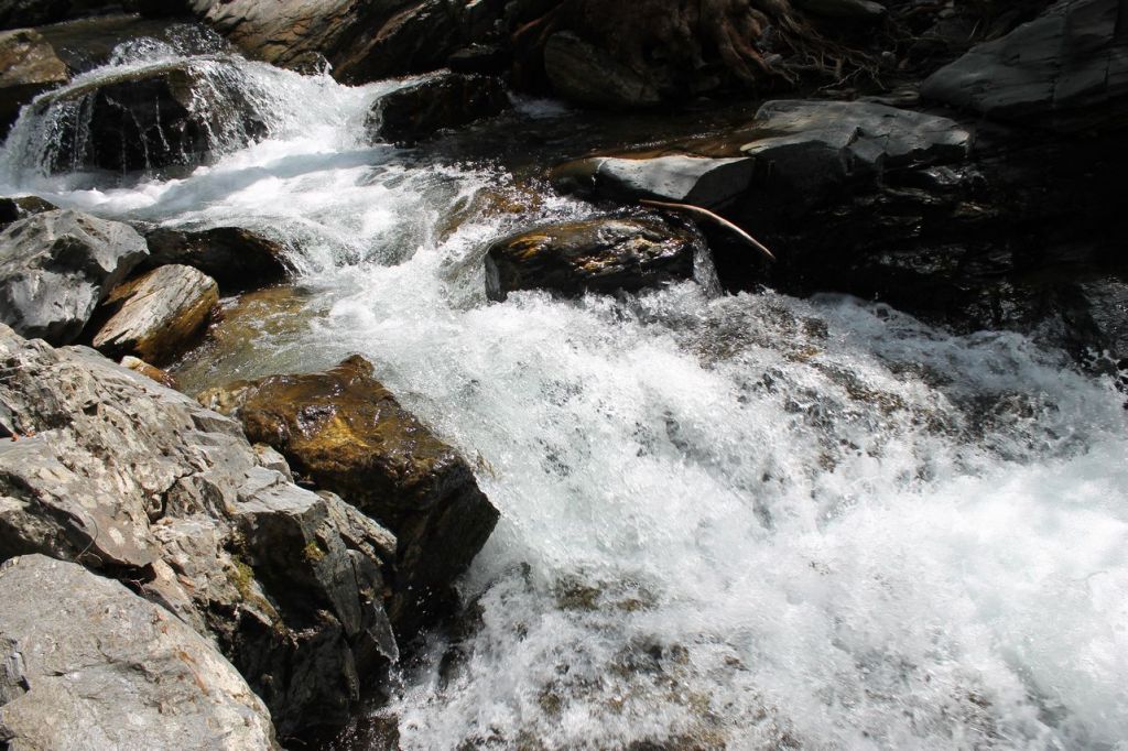
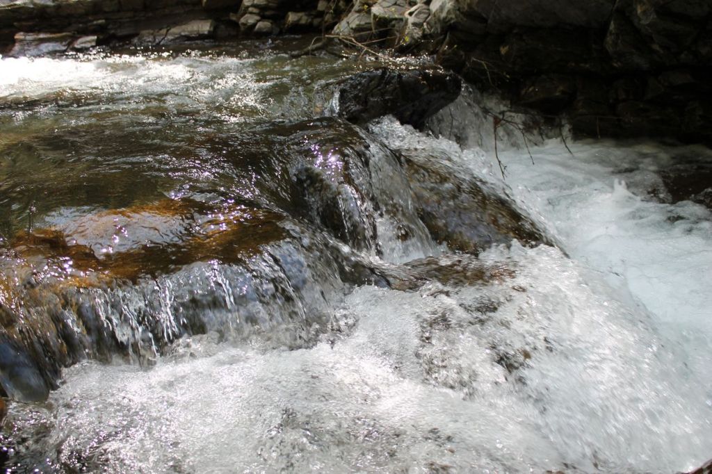
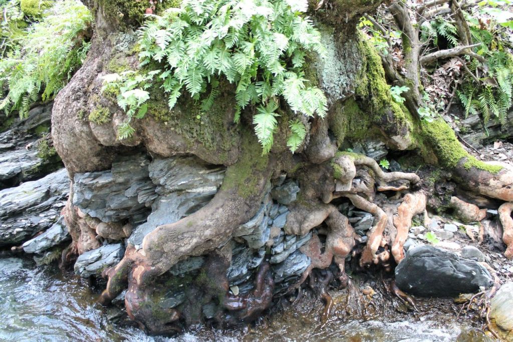
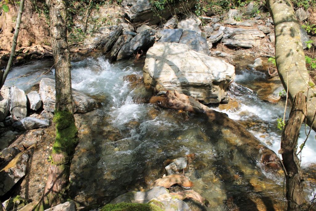
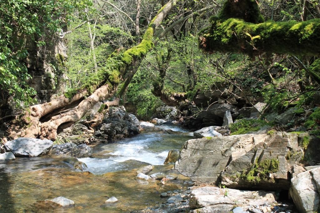
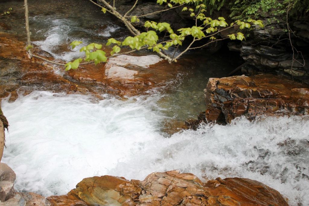
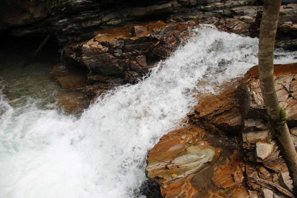
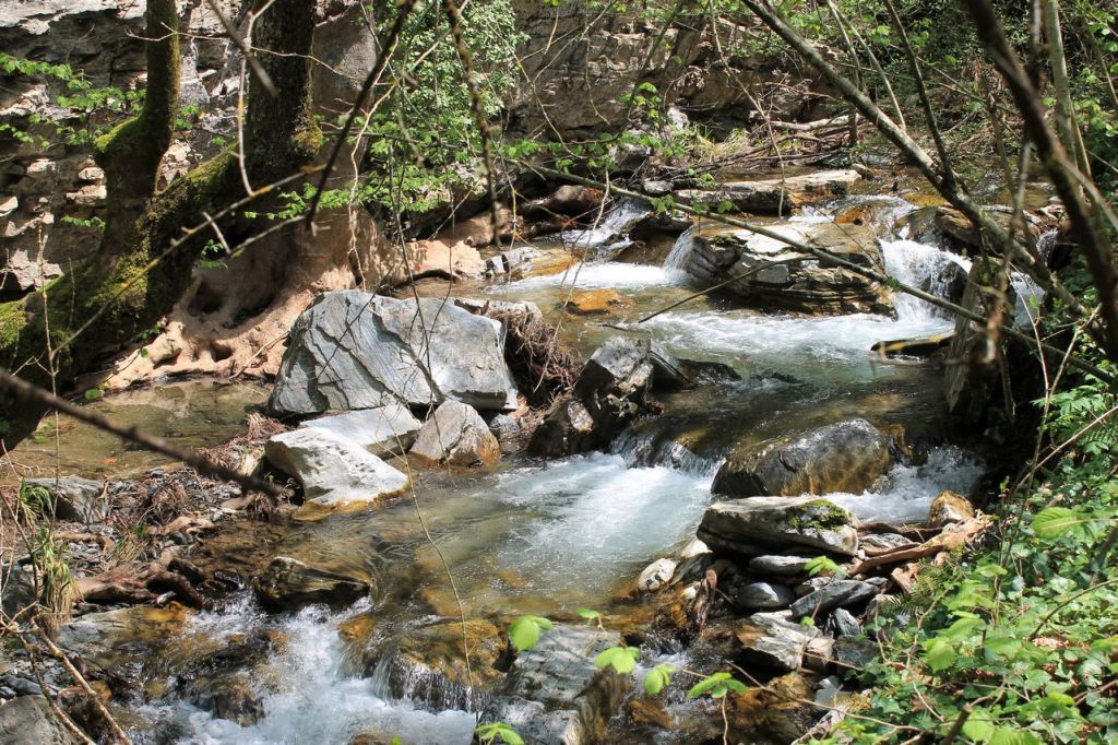
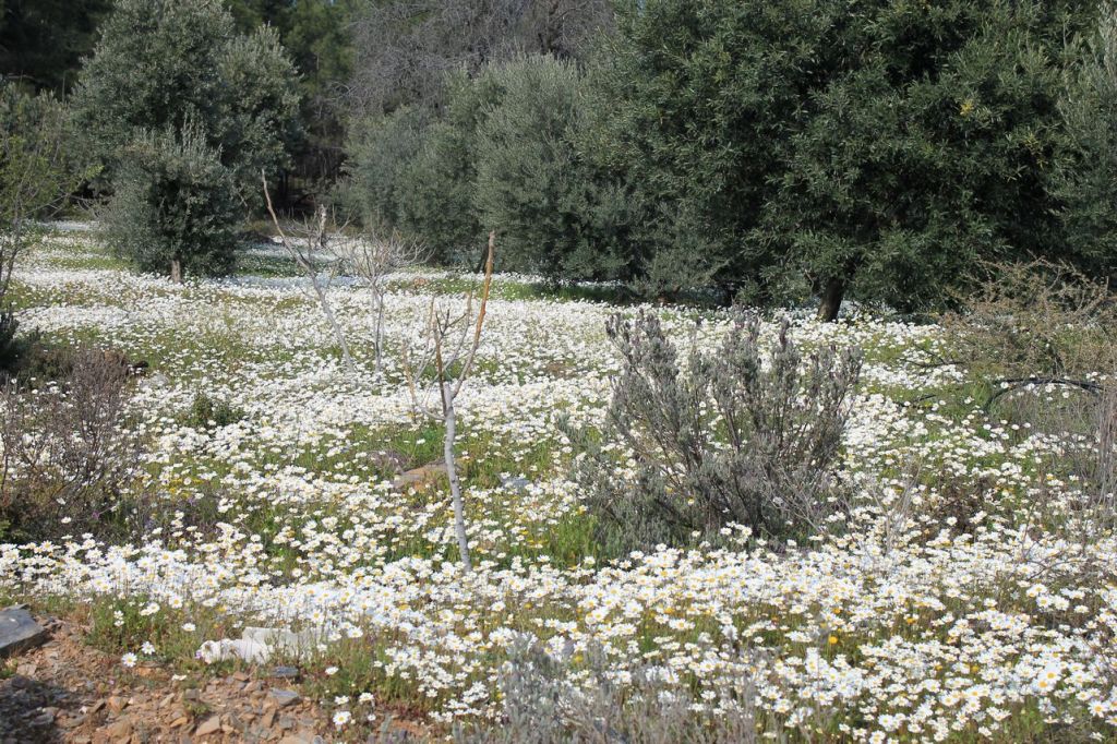
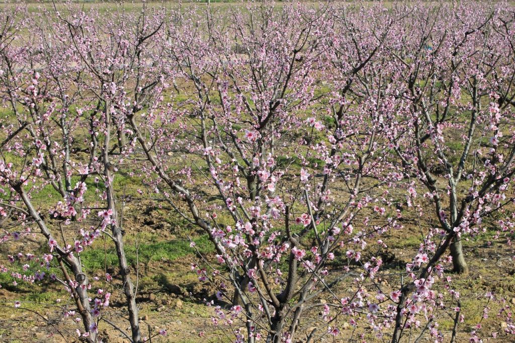
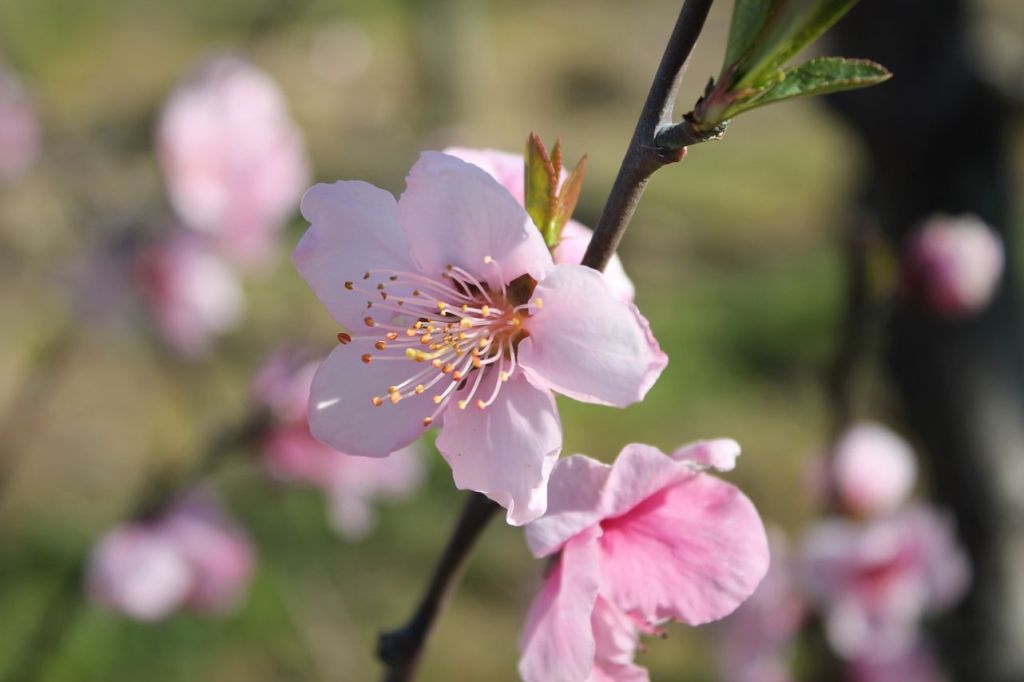
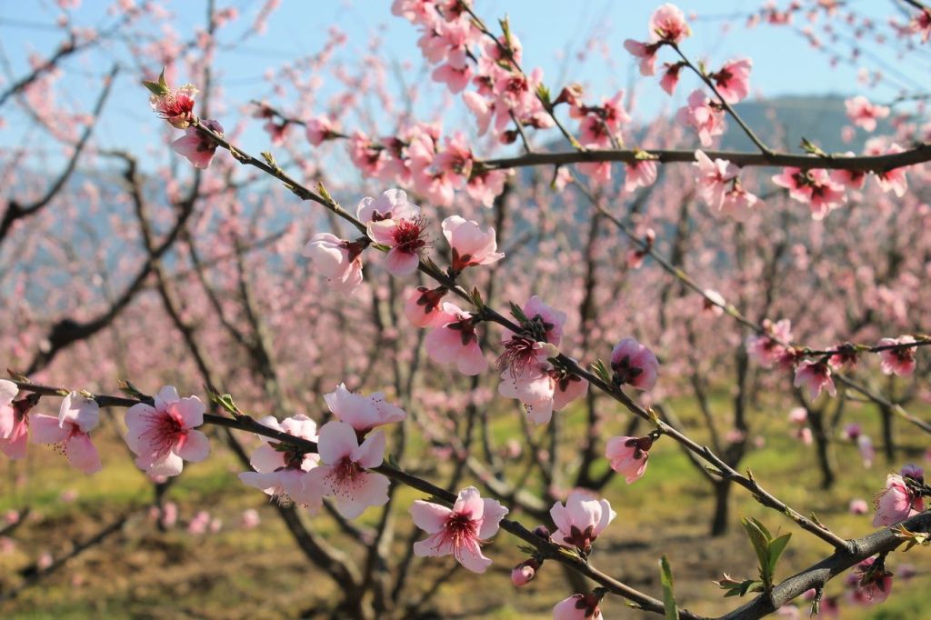
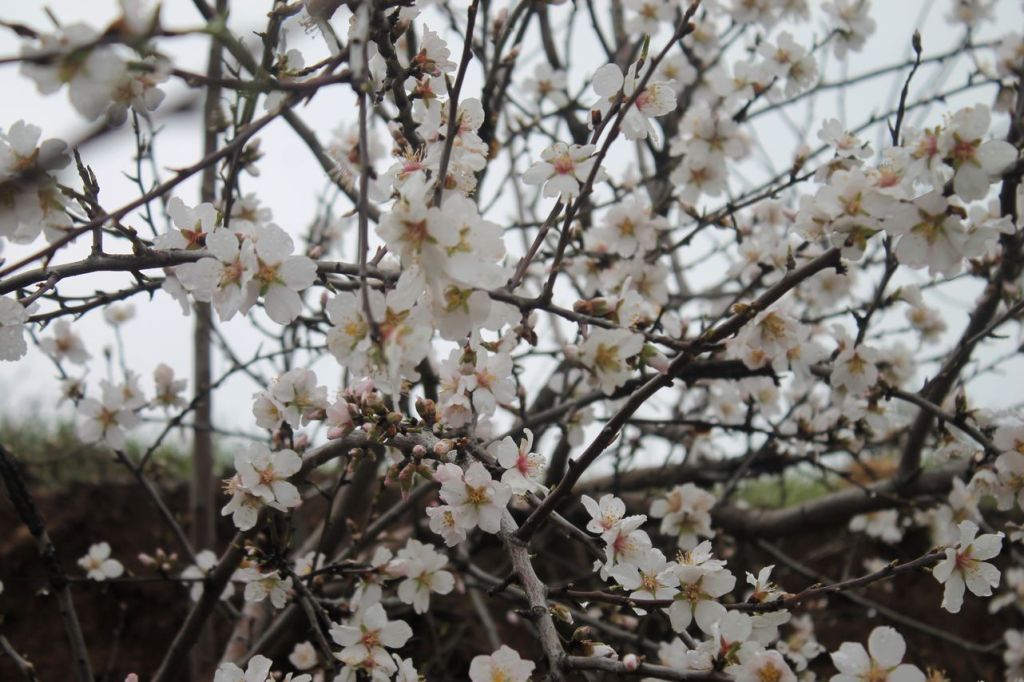
It was a hike with Izdak.org. We had planned to go canyoning that day. The weather was perfect. It was sunny and not too hot. We gradually made our way to the canyon entrance and began our descent along the riverbed. The river wasn’t large, but it was a typical mountain river—full of character, with fast currents and pools in some places. It quickly became clear that the team wasn’t ready for the trek at all. Almost no one had brought water shoes or spare footwear. As a result, we spent a long time looking for places to cross so we wouldn’t get our feet wet. When we found one, we crossed very slowly. Some tried to jump across, others to crawl. It was actually very dangerous because the rocks in the river were slippery, as always. Surprise, surprise! Thank God, no one got hurt. Eventually, most of us got tired and just started wading across the river in our shoes. We were moving very slowly. The guide realized that at this pace we would never reach the finish line, and besides, it could simply be dangerous with a group like this. It was decided to climb up from the river along the canyon slope. The climb was quite a challenge—up a steep slope through thick thickets of thorny bushes. Eventually, we made our way up the slope and returned to the trail we had taken to the canyon. We stopped for lunch near some blooming gardens, and after lunch, all the earlier difficulties were forgotten. The walk back to the buses went smoothly.
Overall, I enjoyed it, but it would have been better if the team had been better prepared and we hadn’t had to cut the tour short right at the most interesting part. wikiloc
-
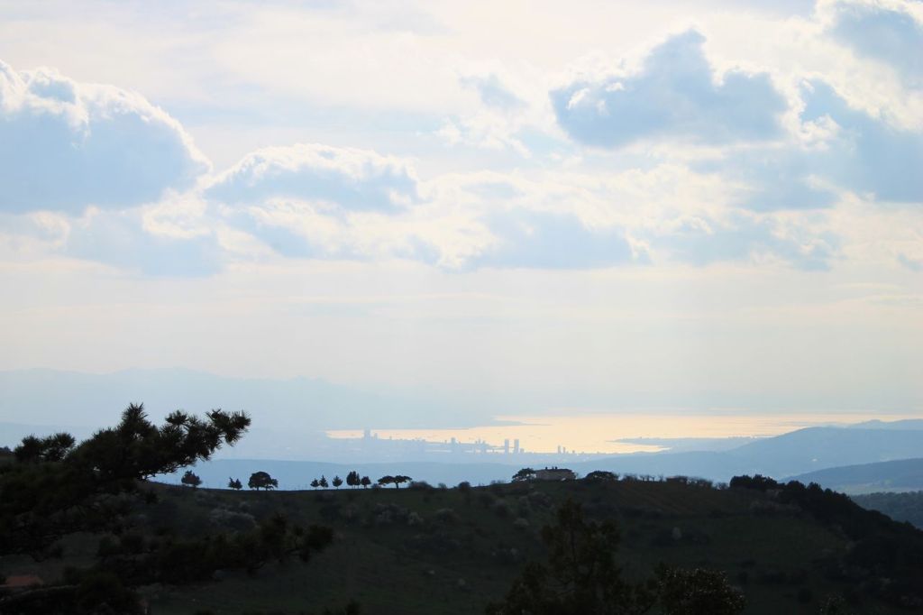
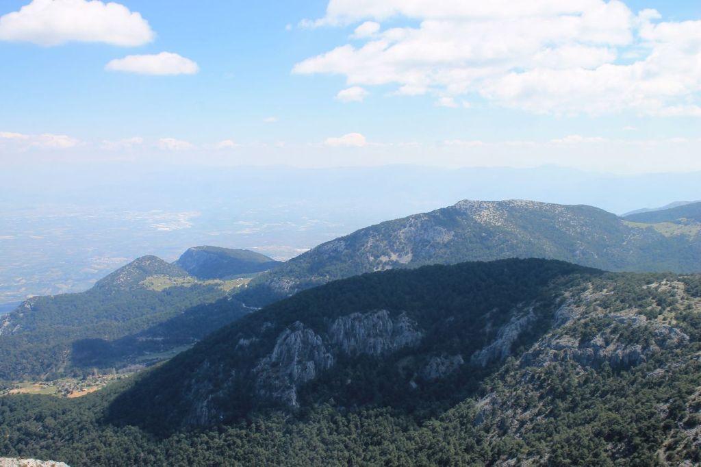
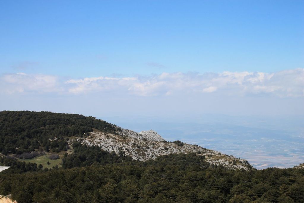
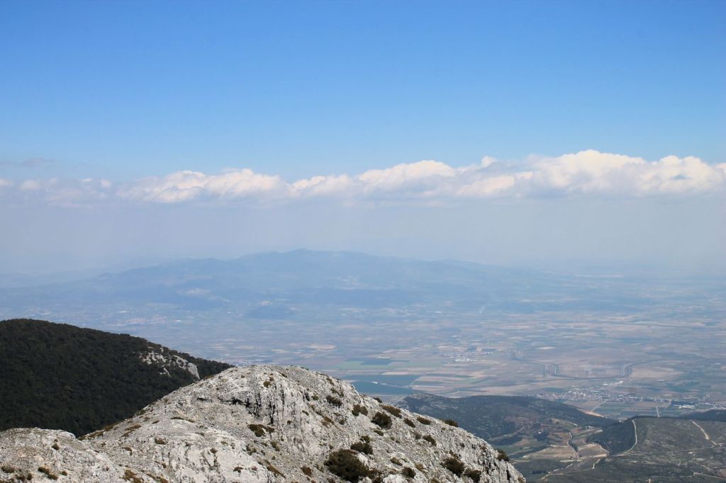
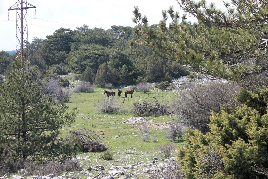
Turkiye. Mt. Spil (1530m) #5.
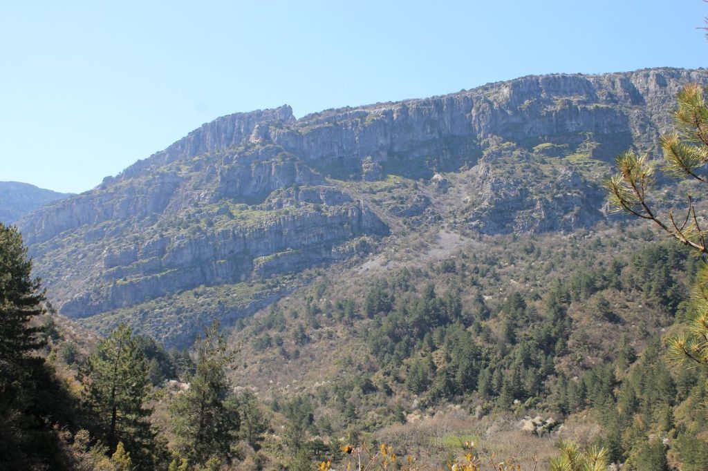
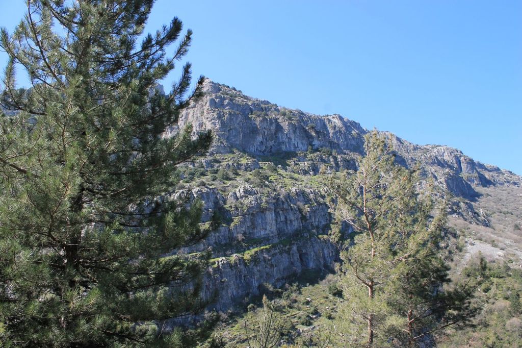
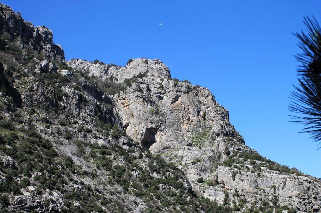
This hike turned out to be a bit different from what I’d expected. Initially, we’d planned a challenging route to climb the mountain from the north side. But in the end, that hike didn’t work out, and one of the guides suggested me to join a club idadik hike. The route followed a tourist trail. It differed from the easy ascent from the south side but was still fairly straightforward. To add a bit of extra difficulty, our guide didn’t take us along the roads but cut across the route and led us through the woods. The descent was partly along the road and partly along forest paths towards the village Beshpinar. We made our way back very slowly, as we were waiting for another group to catch up, who were taking the easier route. The weather was pleasant, so I can say I had a good time. wikiloc
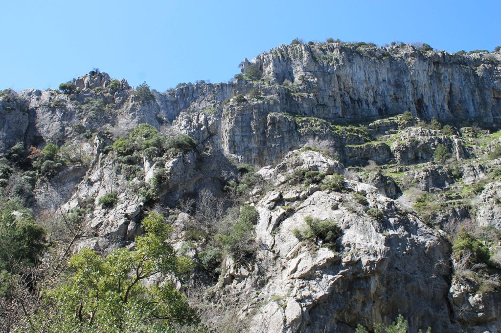
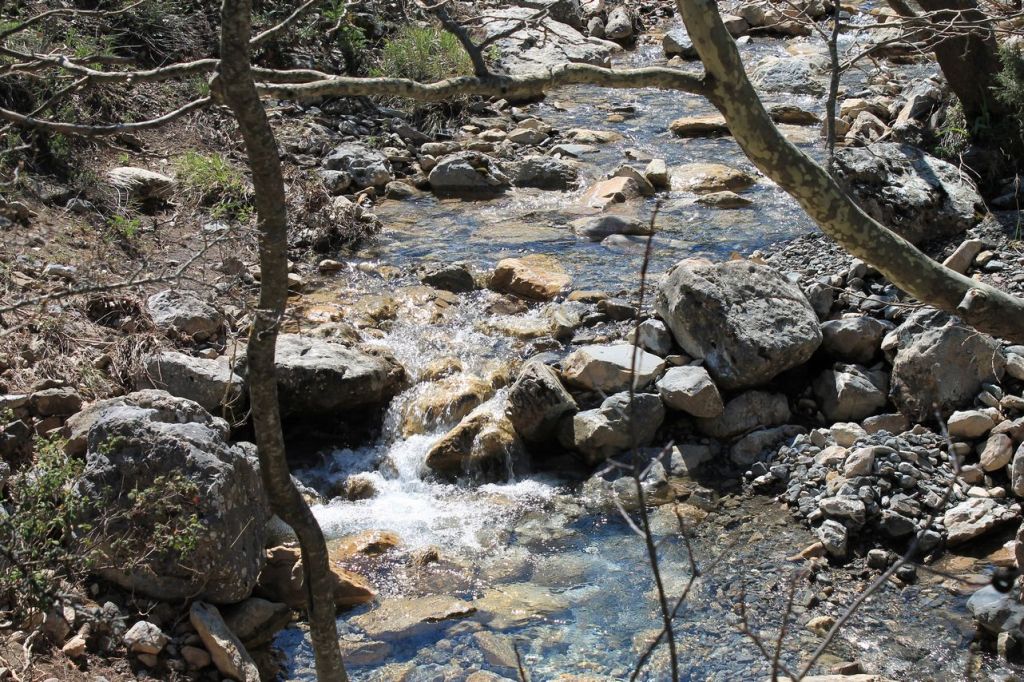
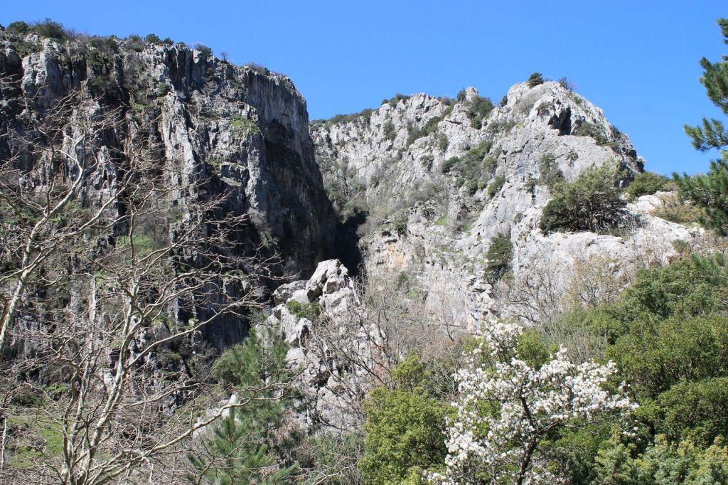
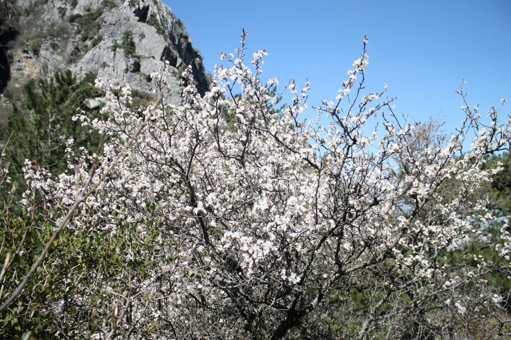
The city of Izmir is far away 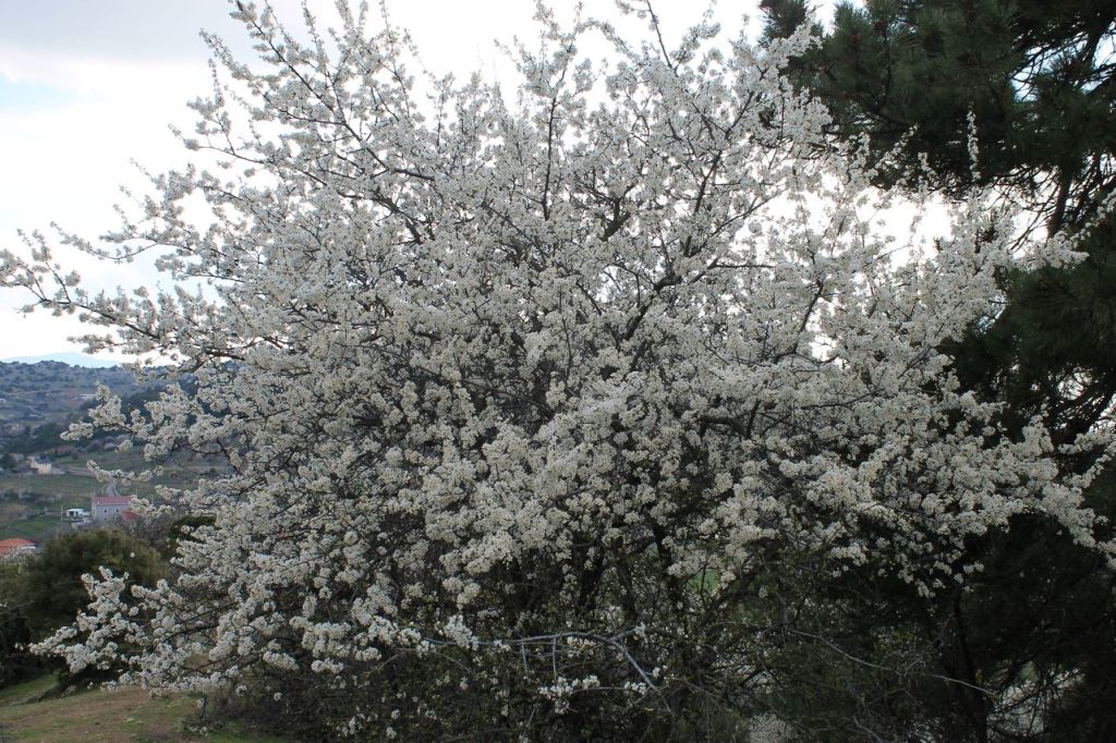
-
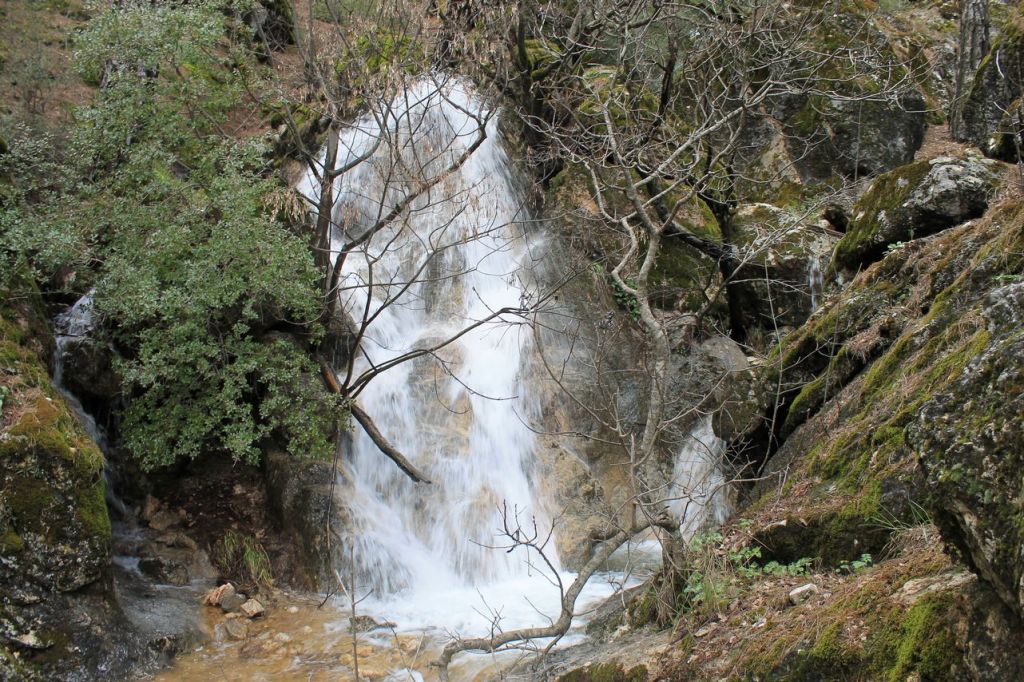
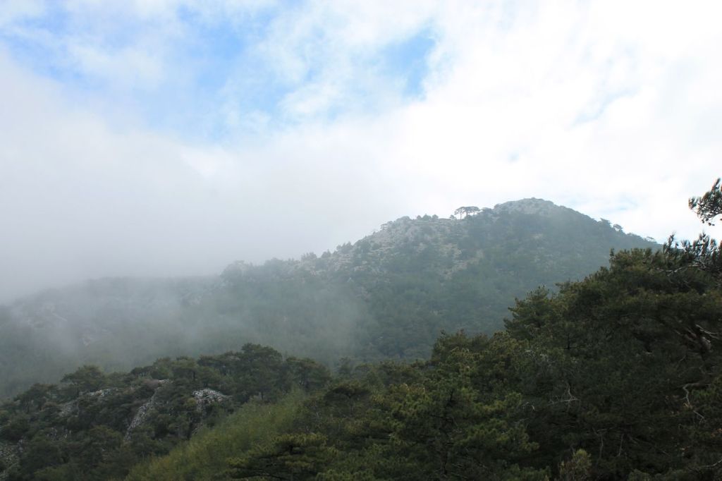
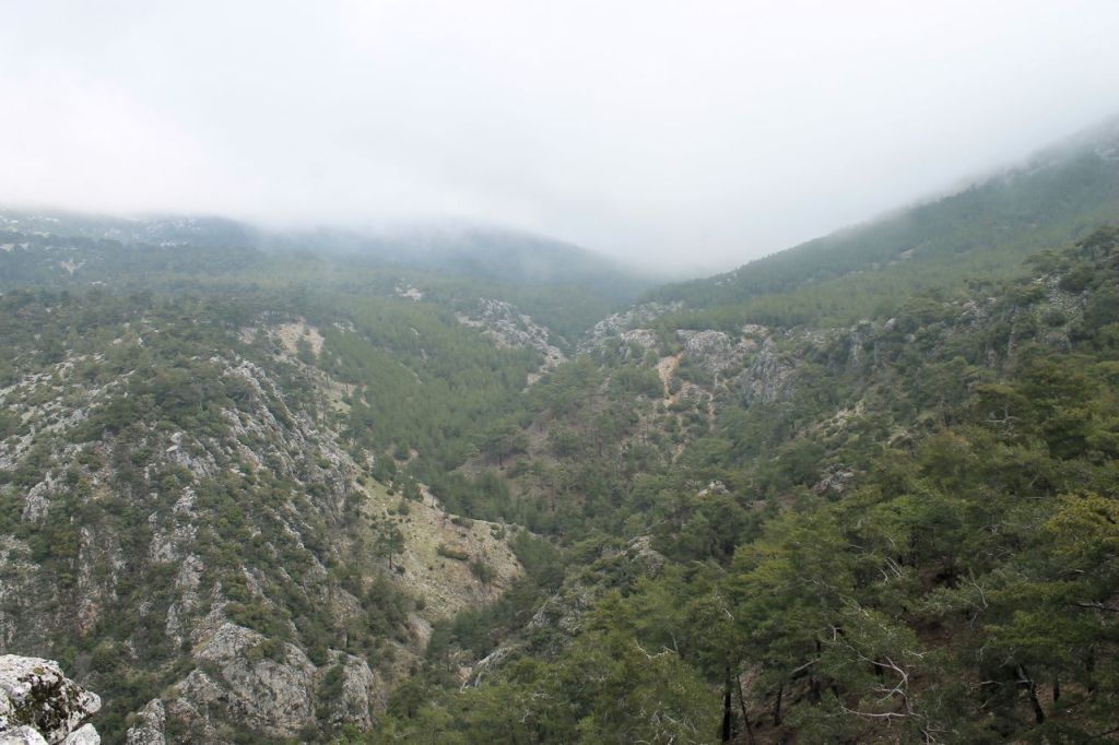
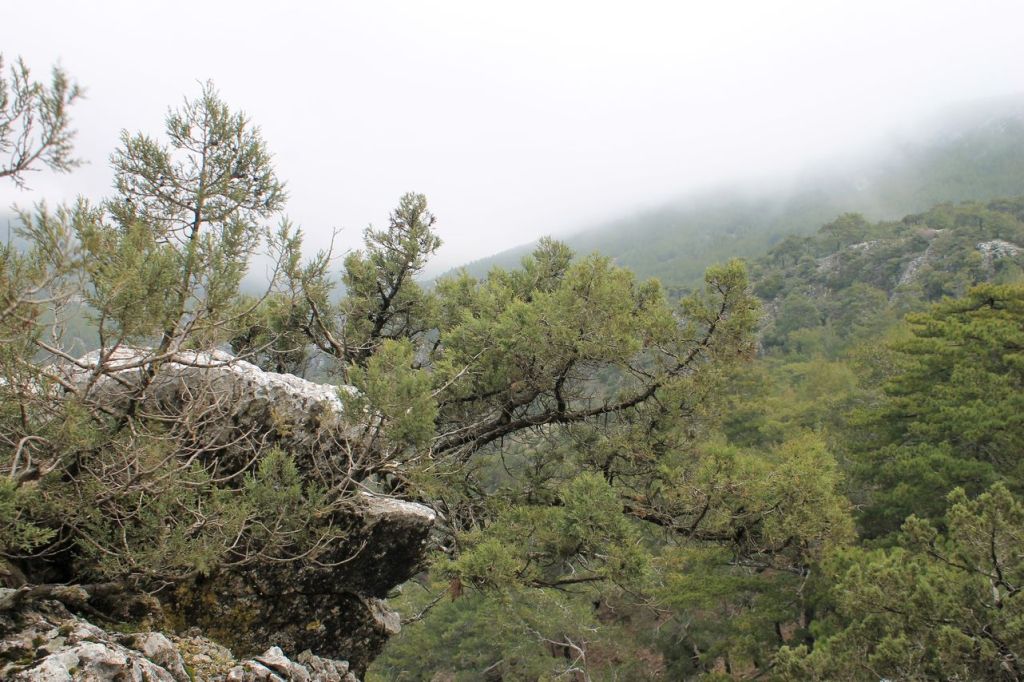
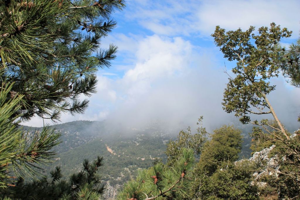
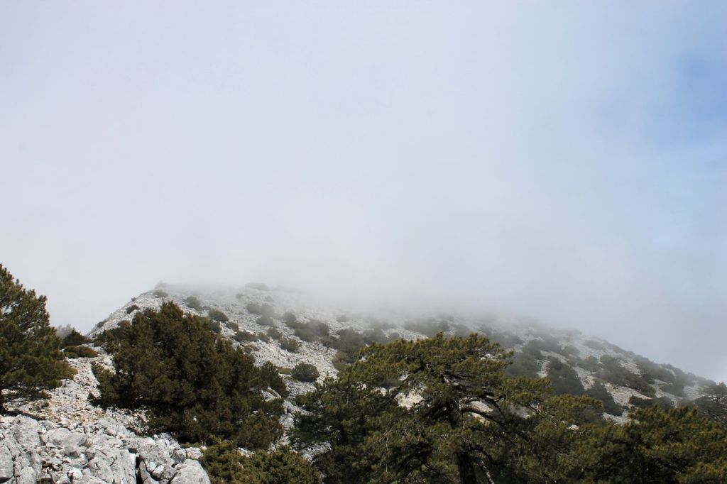
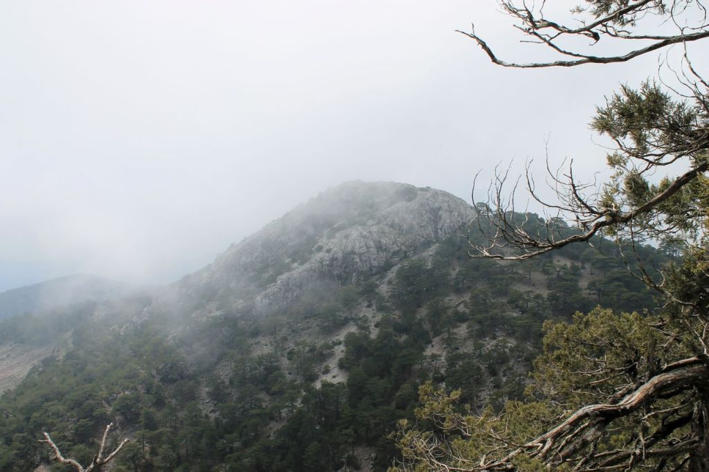
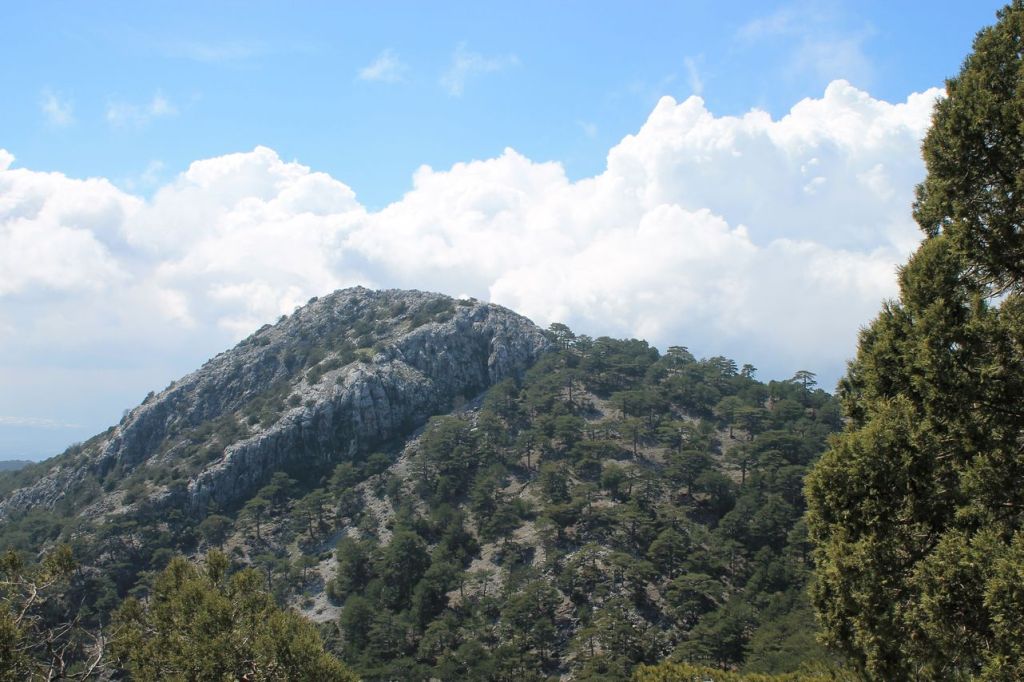
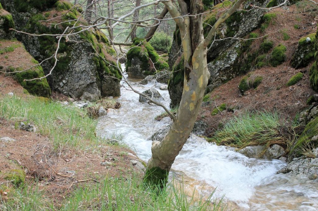
Turkiye. Kırıklar – Gelin daği (1497m) – Kırıklar.
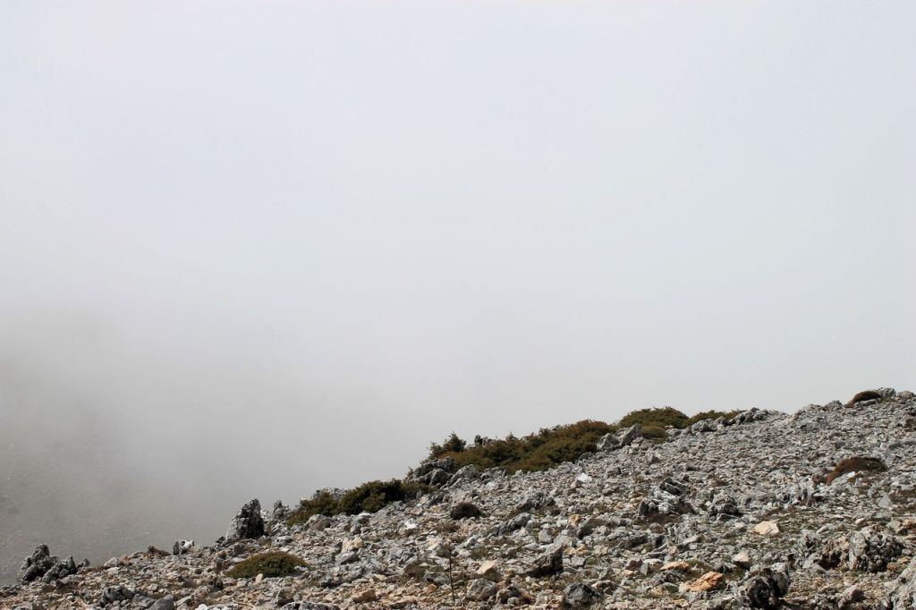
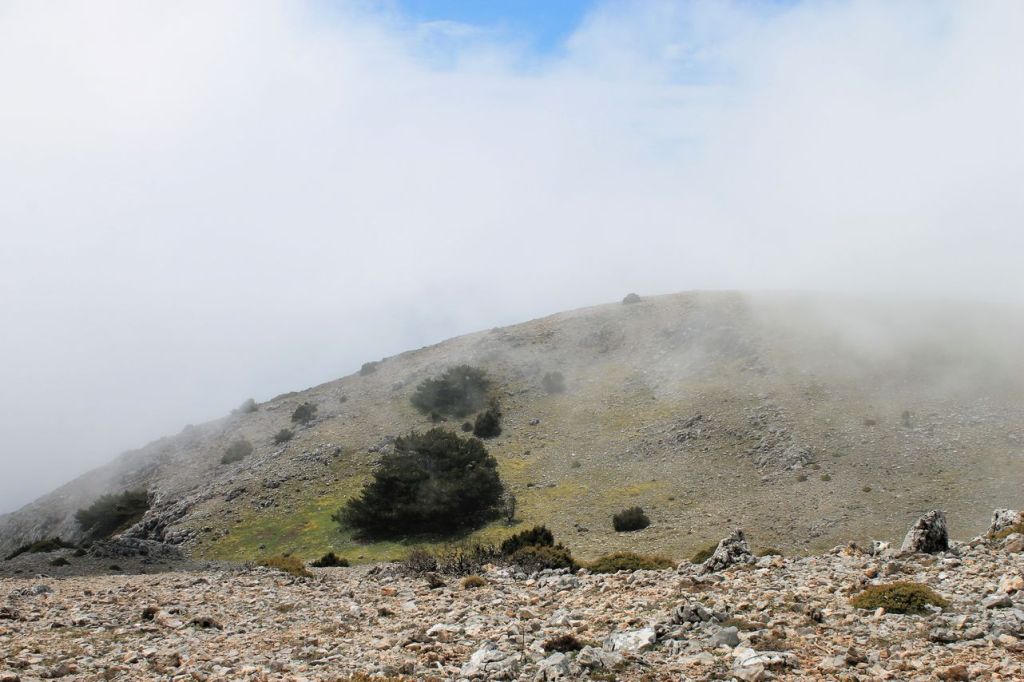
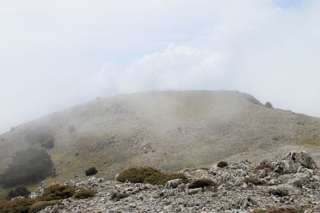
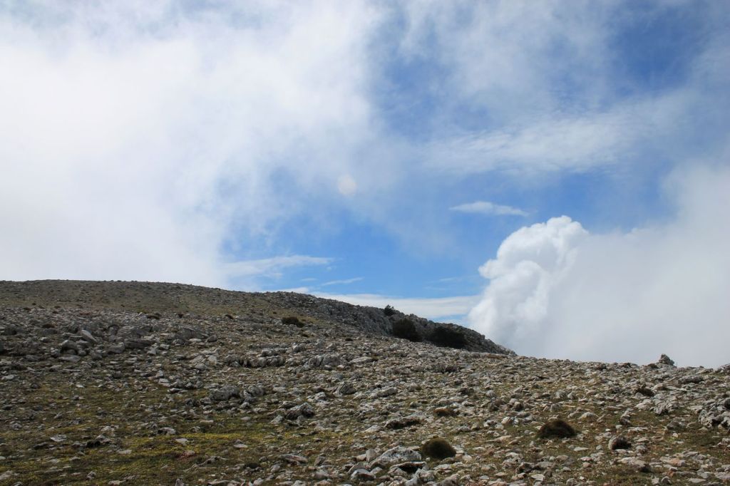
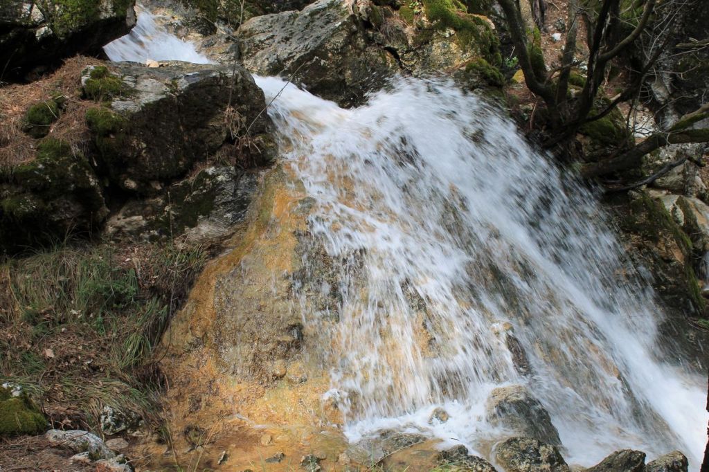
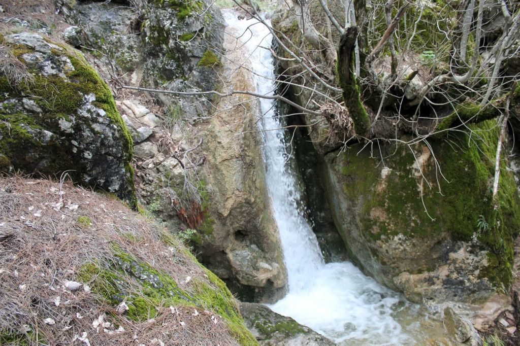
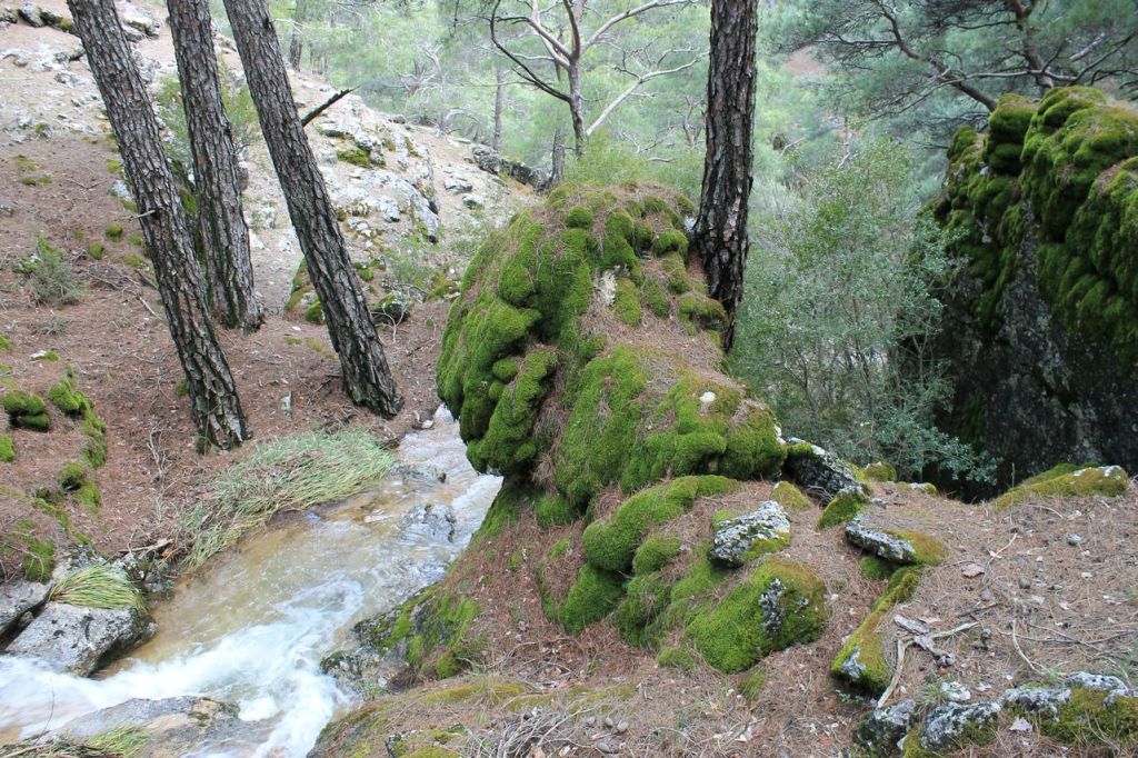
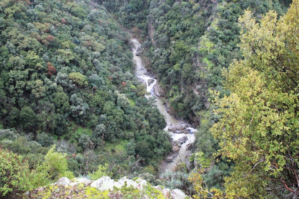
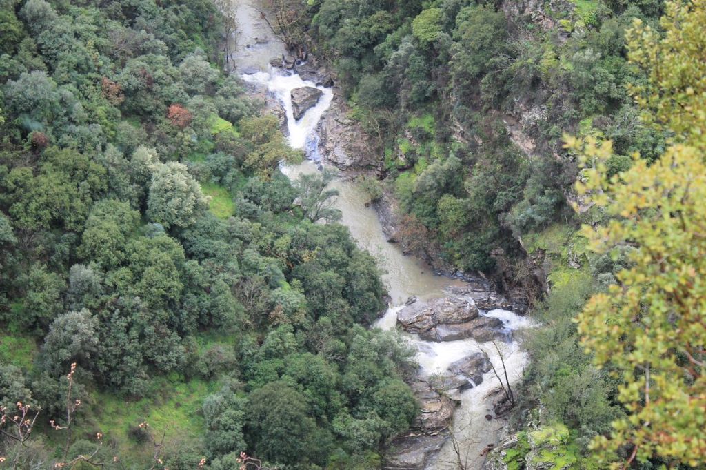
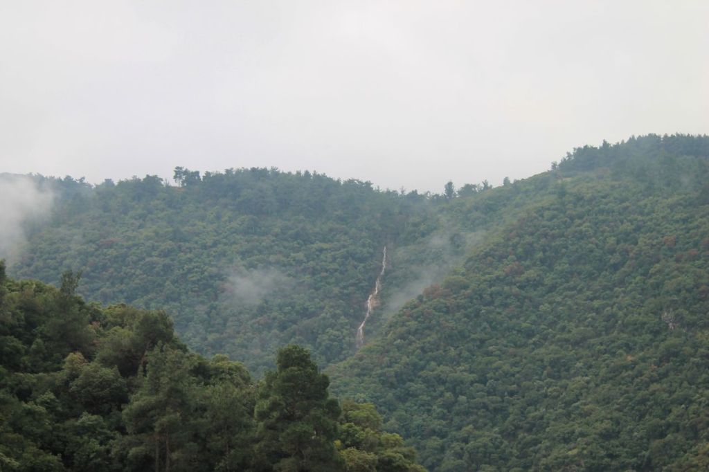
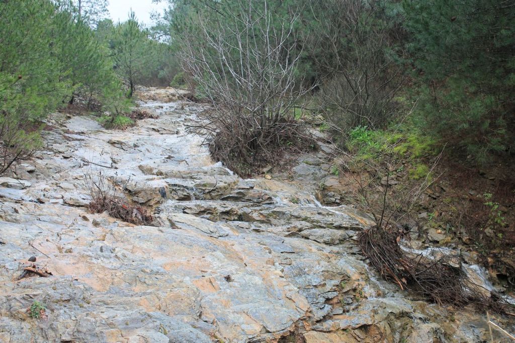
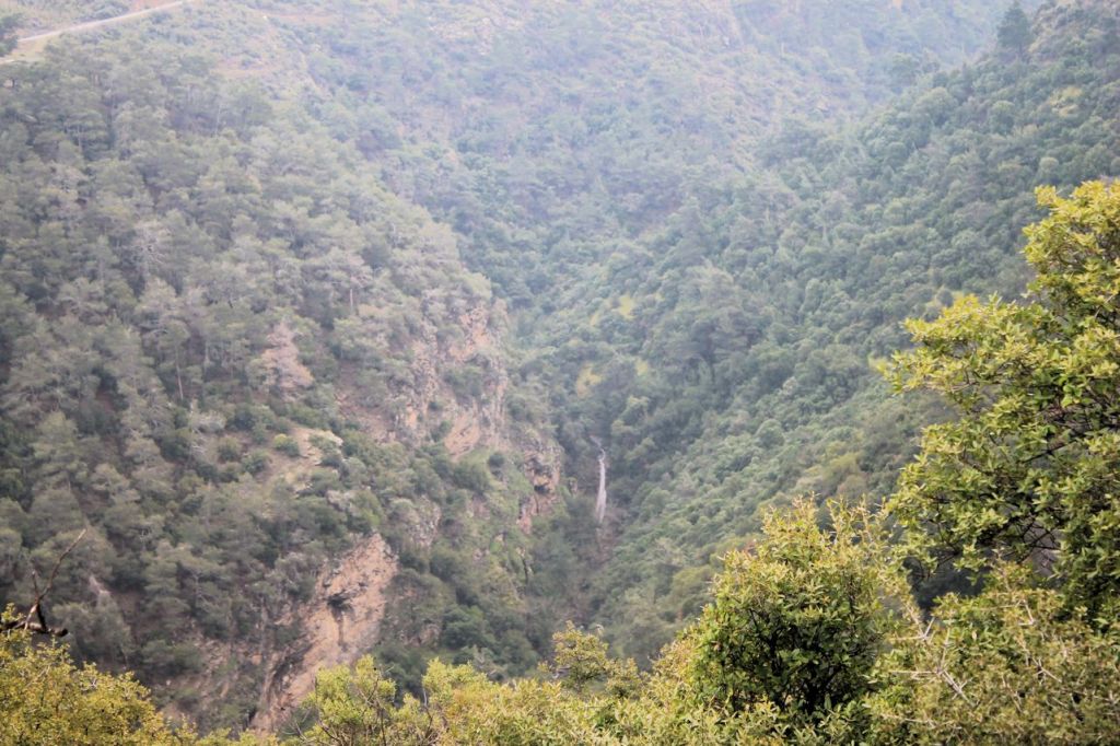
It was a hike organised by four hiking enthusiasts, with no involvement from any clubs. We simply chose a route that was as challenging as we felt we could manage. As a result, what was supposed to be a hike up the relatively easy Mount Gelin turned into a test of endurance. However, towards the end of the hike, we discovered a real gem – a beautiful waterfall. My phone or the app was playing up a bit during the hike, so it recorded a route of about 23 km. According to the other participants, we covered about 18 km. wikiloc
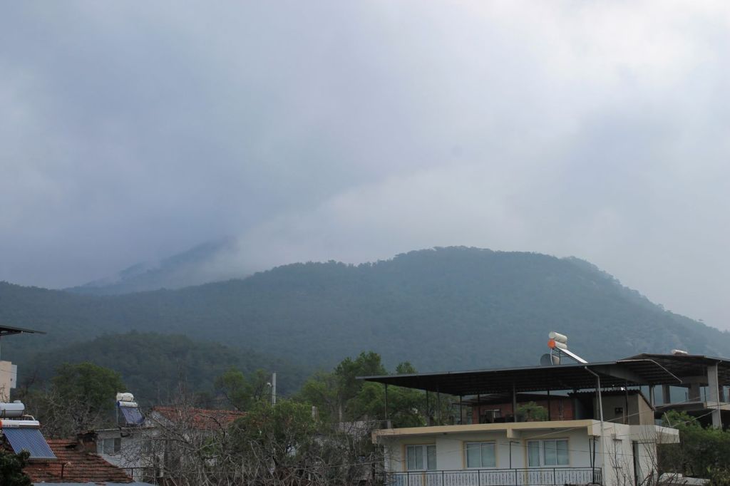
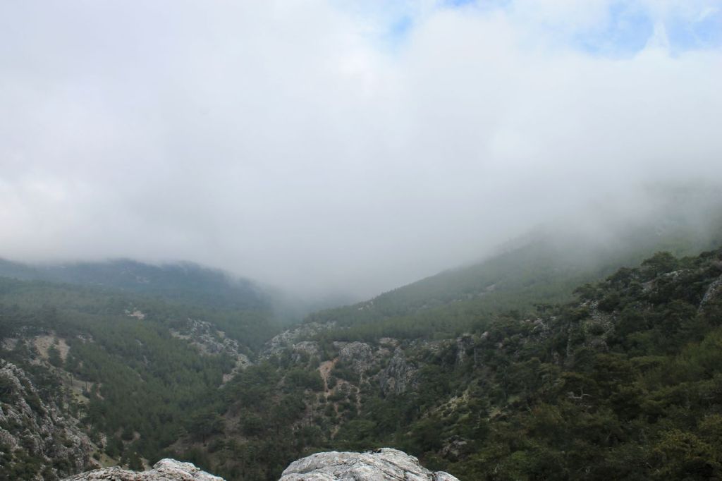
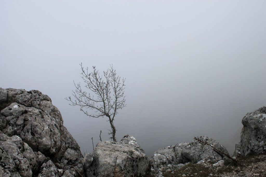
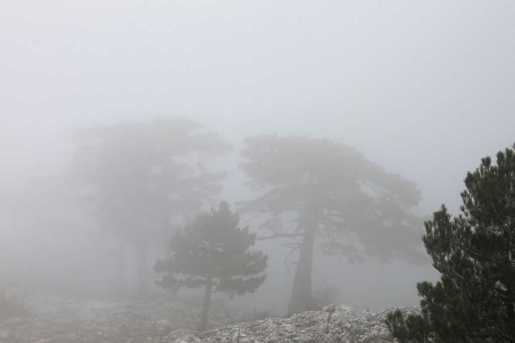
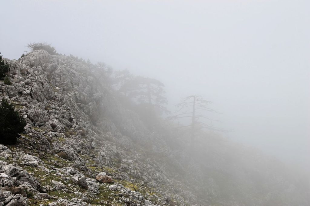
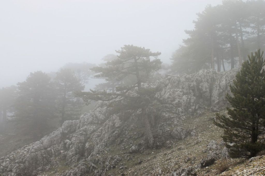
-
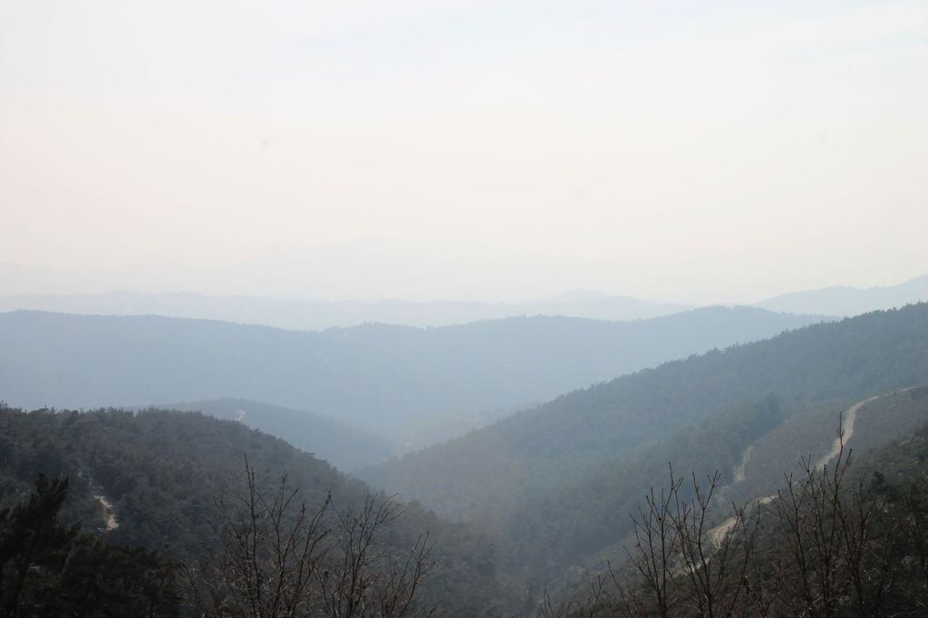
Turkiye. Bayramlı-Mahmut daği (1352m) – Dağtekke.
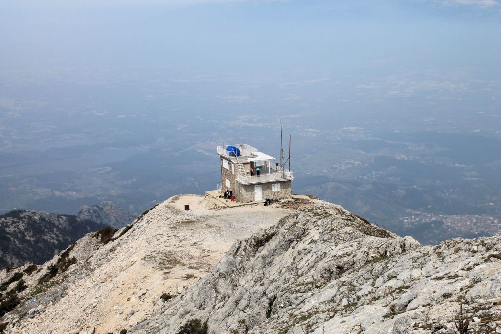
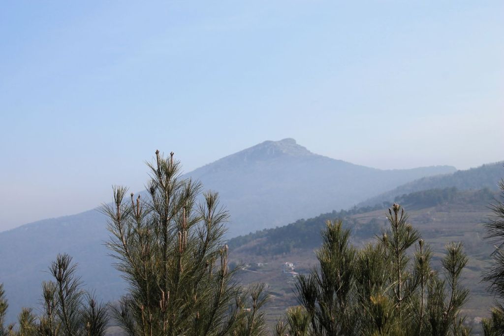
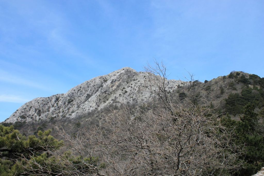
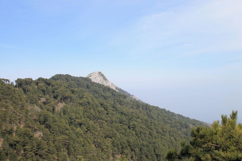
It was a hike with Izdak.org. Trek about 27 km. It was a kind of challenge – overcome a long distance. The best part was actually the climb up the mountain Mahmut. The weather was perfect – opposite then in our previous mt.Mahmut hike (post). Most of the way ran along country roads and actually it was boring. wikiloc
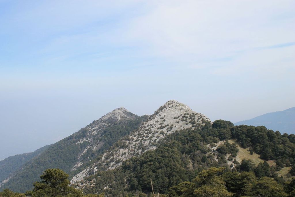
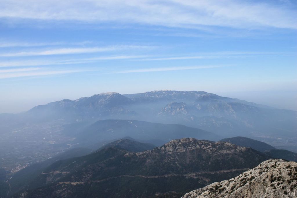
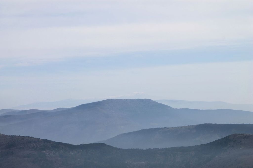
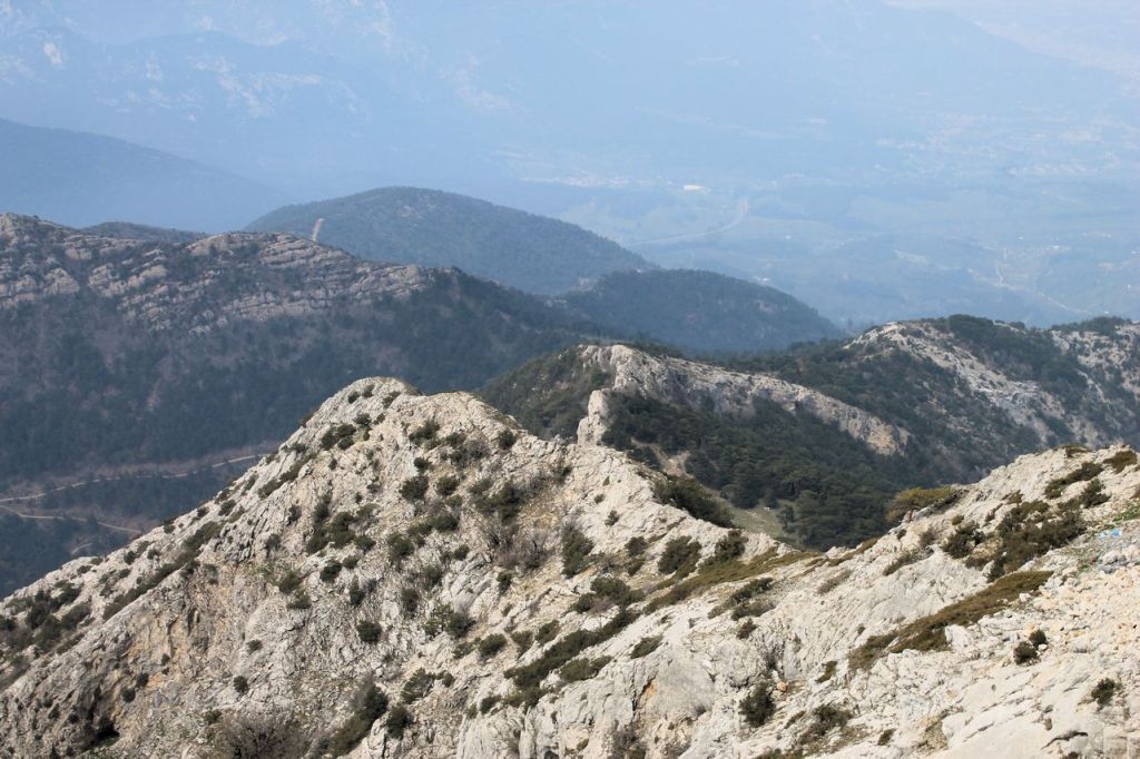
-
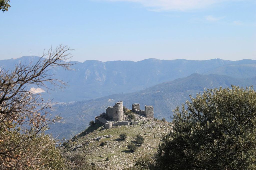
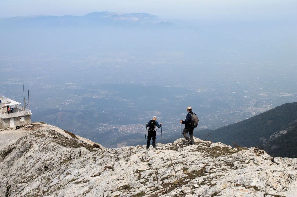
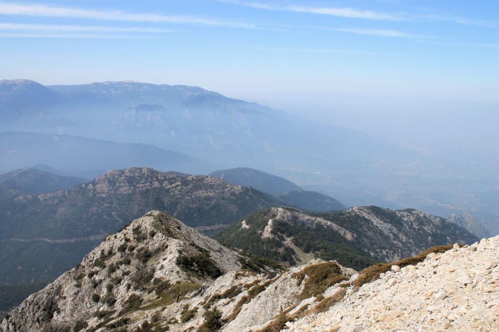
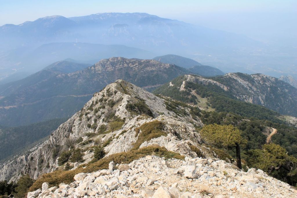
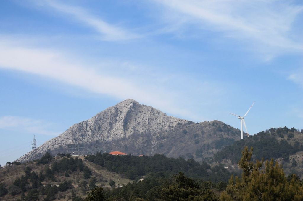
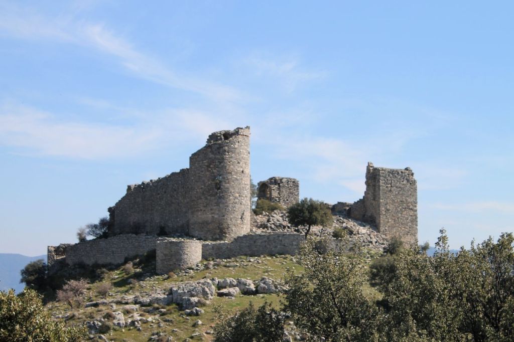
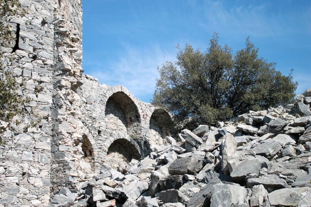
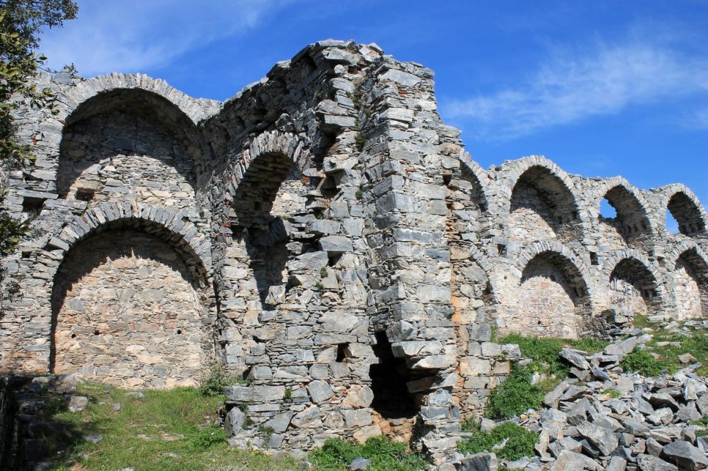
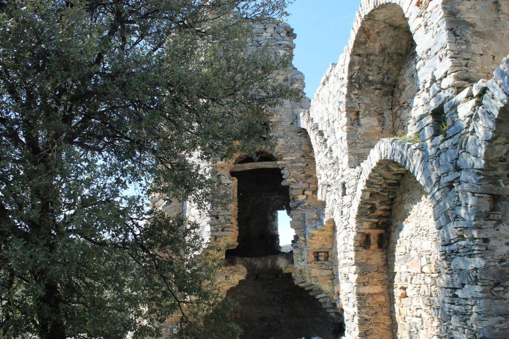
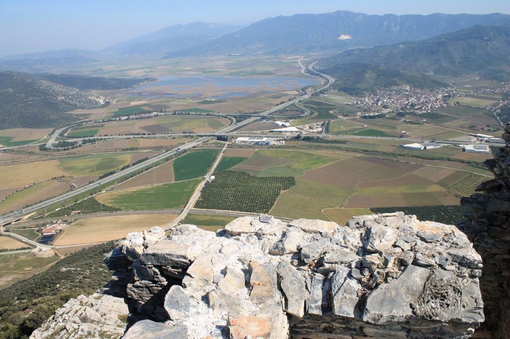
Turkiye. Ahmetli-Alaman daği-Keçı kalesi-Belevi
-
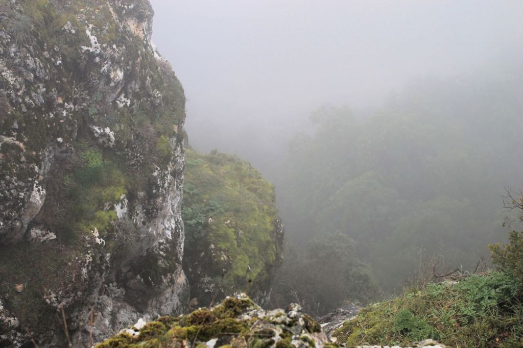
Turkiye. Çıkrıkçı Köyü-Sivrice Tepe.
-
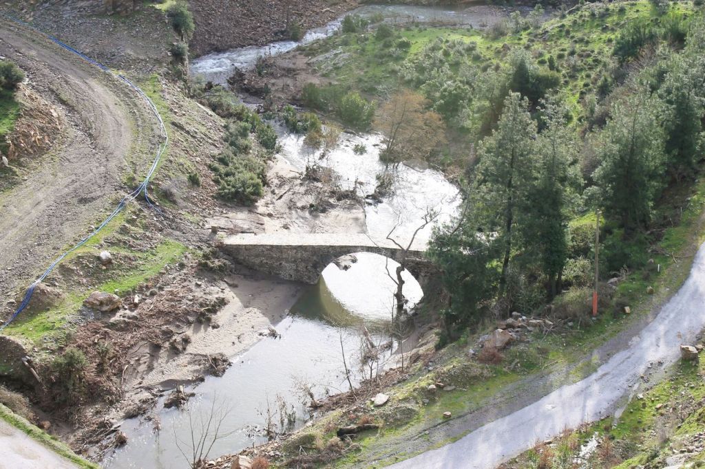
Turkiye. Mt. Dededağ. Can’t be reached.
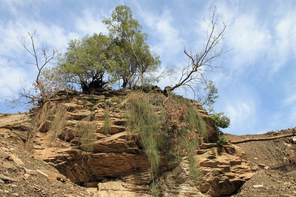
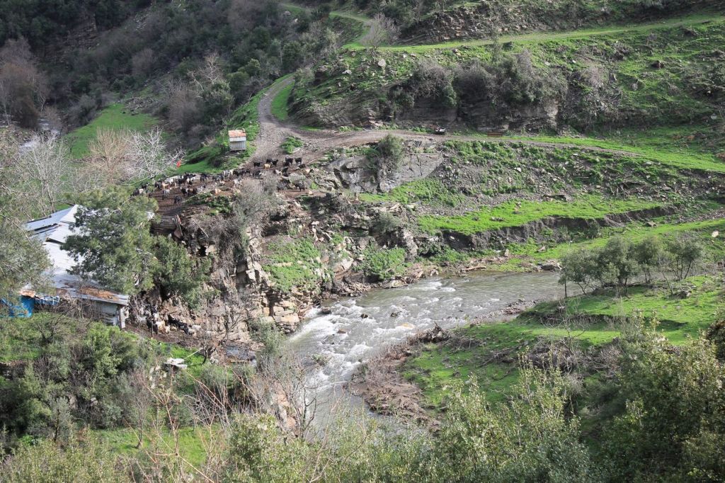
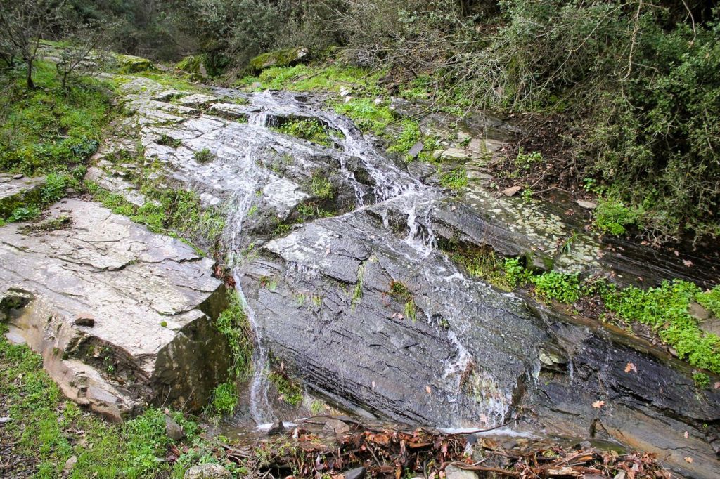
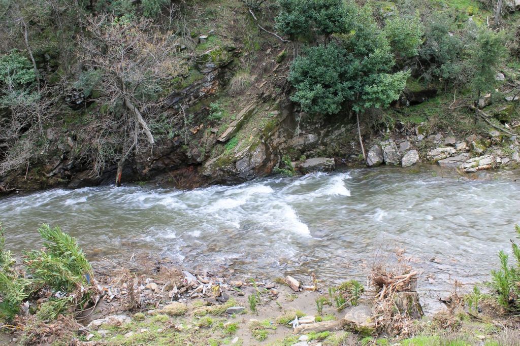
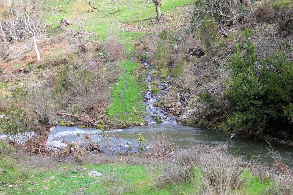
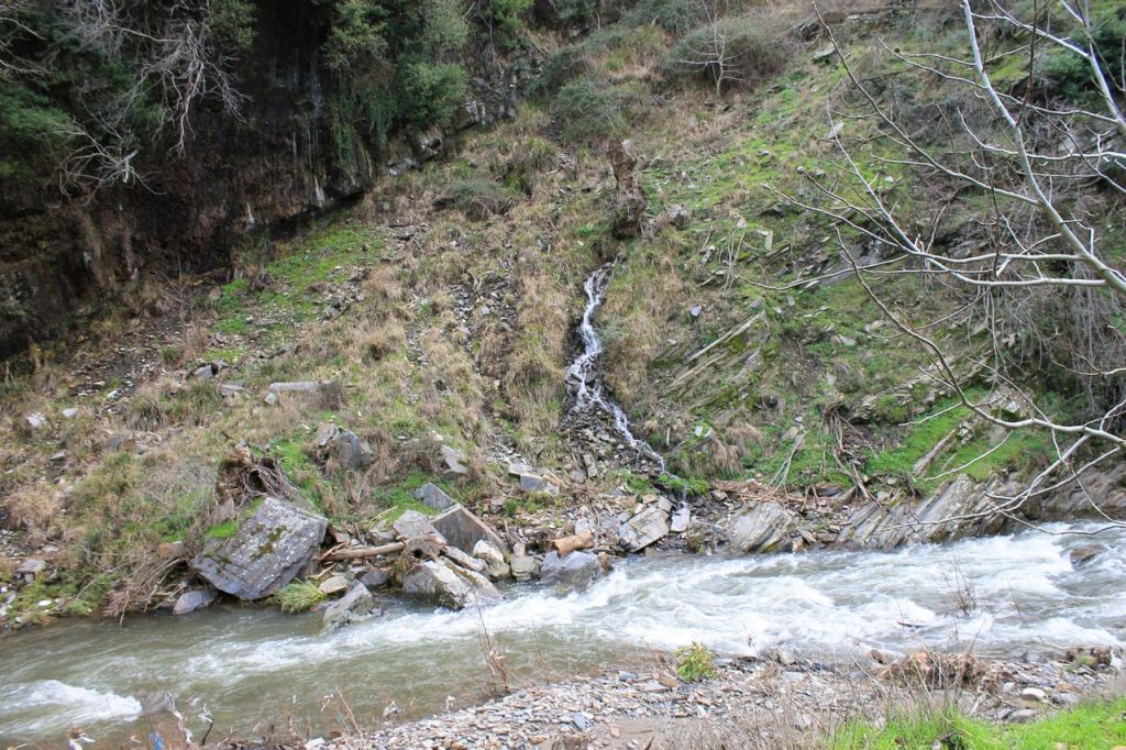
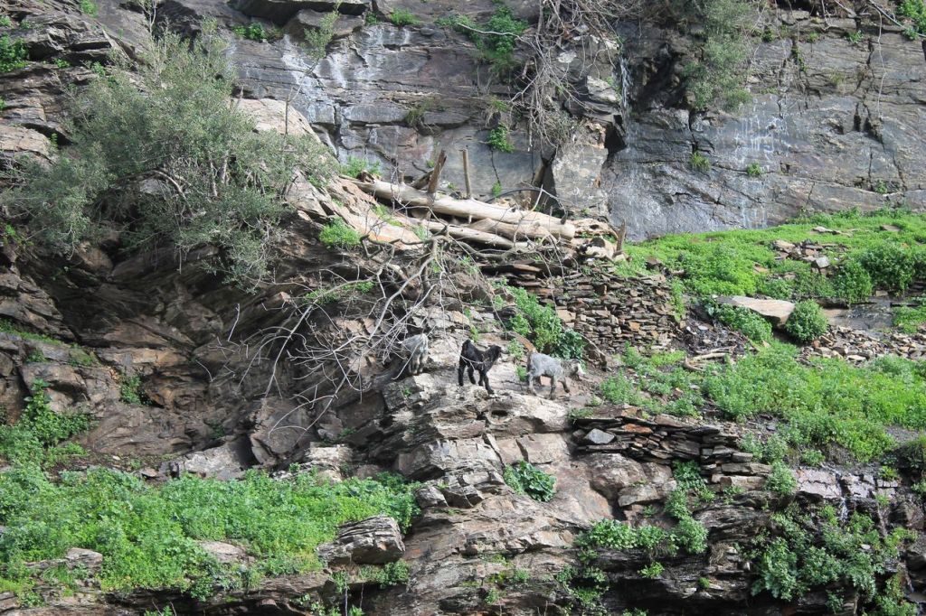
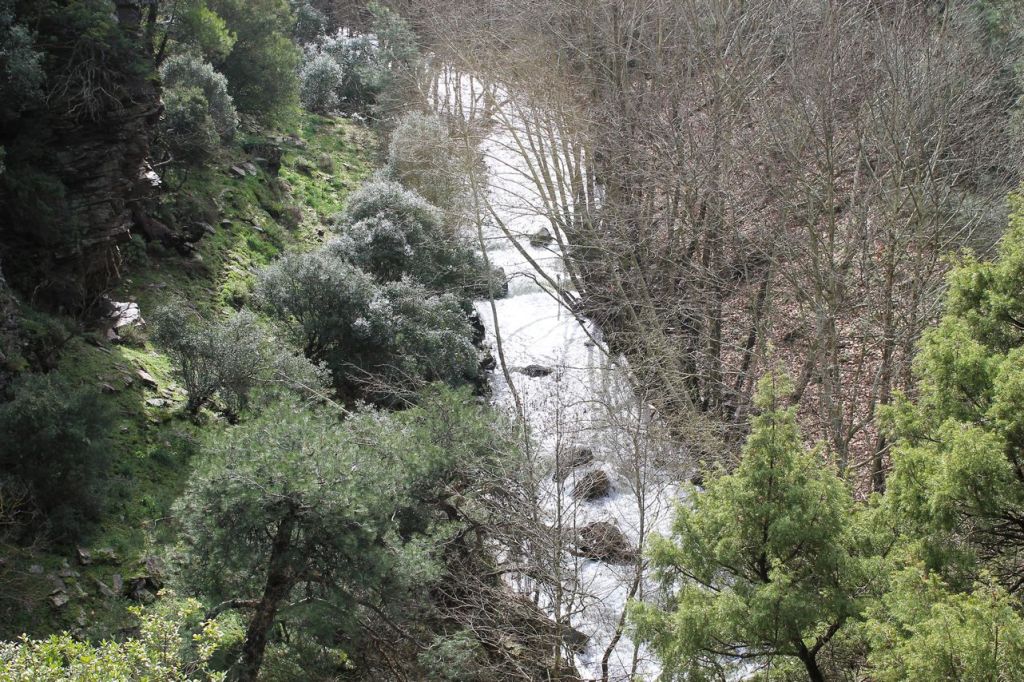
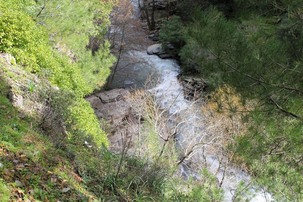
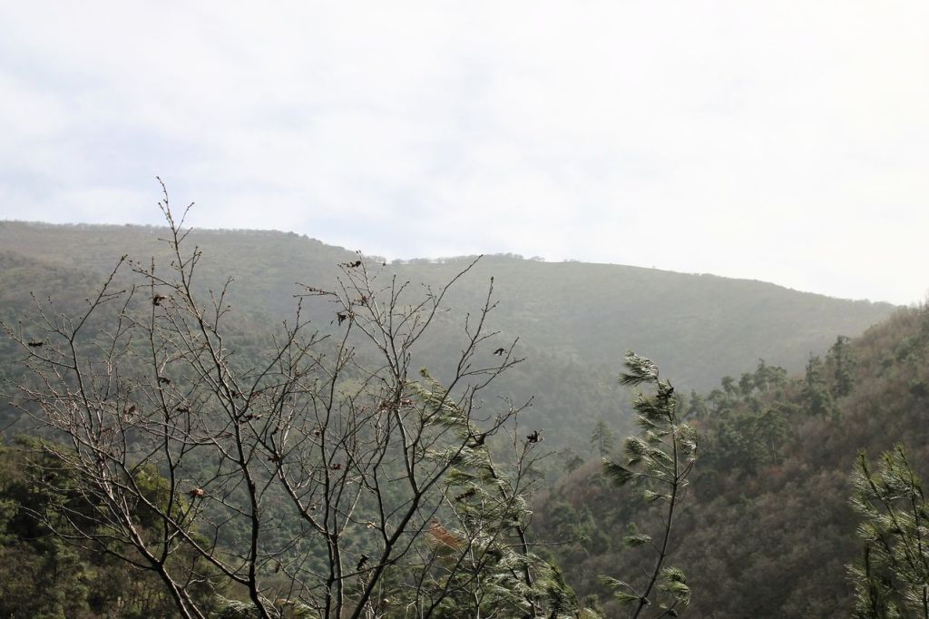
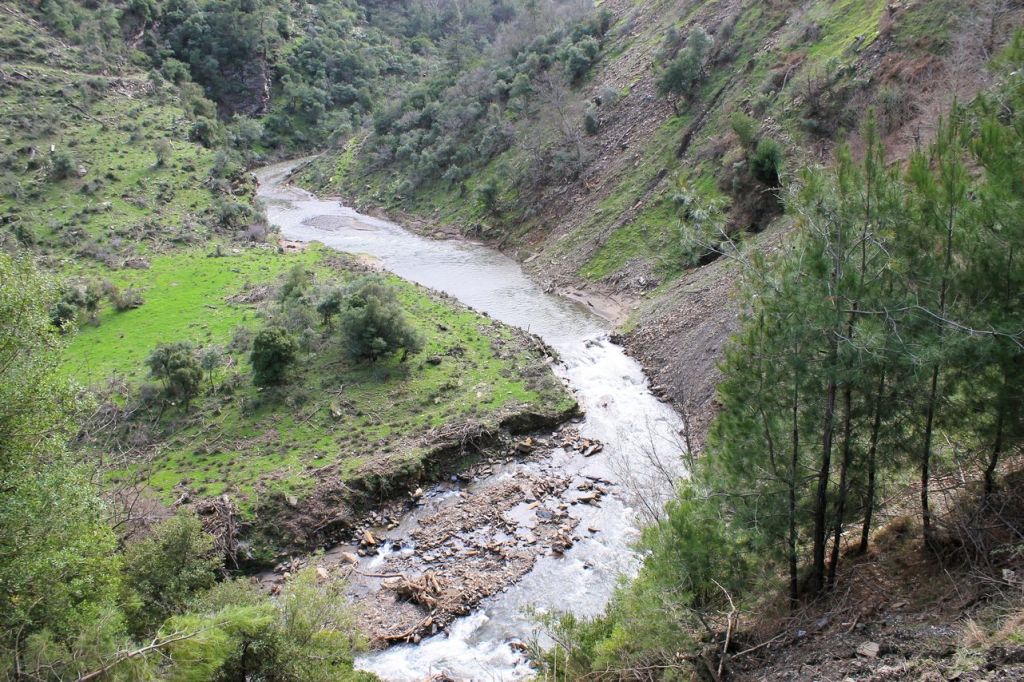
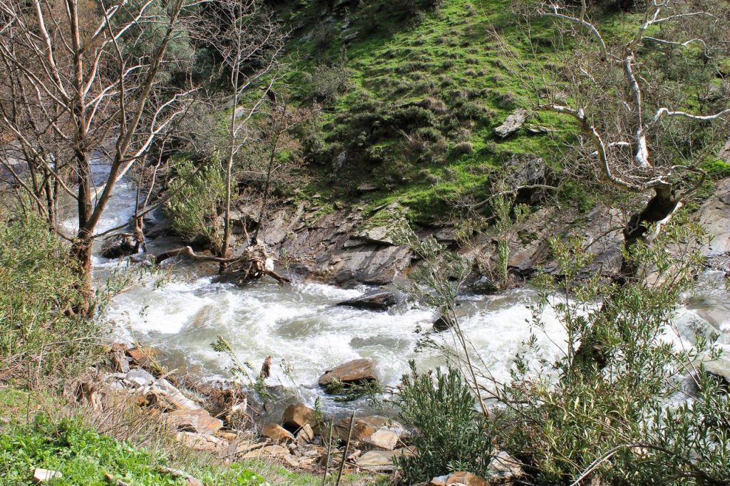
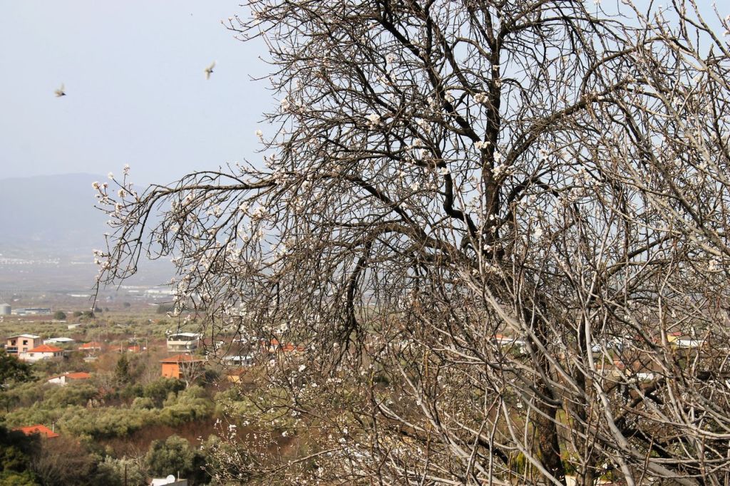
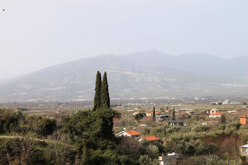
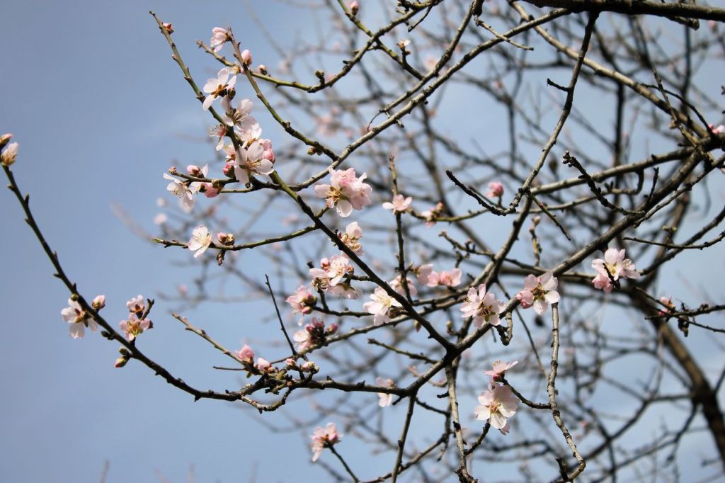
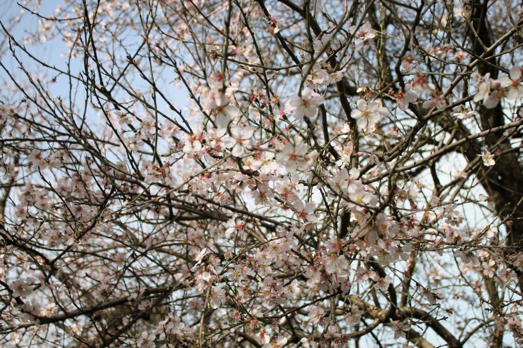
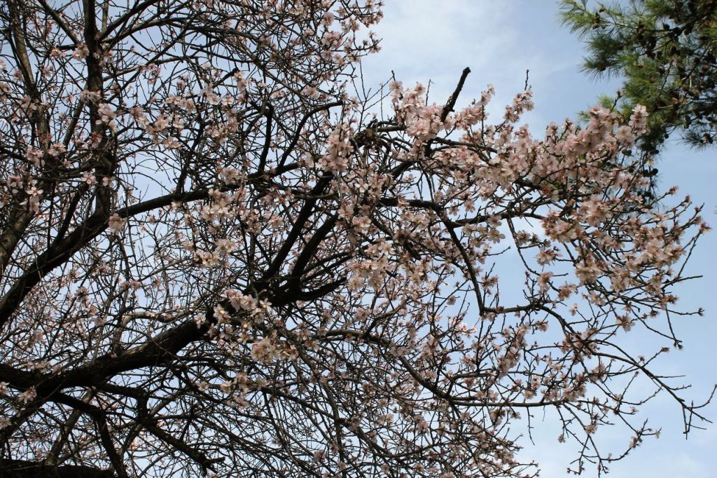
It was a hike with Izdak.org. We wanted to get to Mount Dededağ. But we encountered a problem – a new dam had been built on the old road. Our guide chose the wrong route – along the right bank of the river. We walked along the river and couldn’t cross it because there were no bridges on the way. And the route we needed to take to the mountain runs along the left bank of the river. We missed the only bridge at the very beginning. Bad luck. On the other hand, the weather was warm and spring-like, and there was no rain. Good luck!
-
Turkiye. Mt. Bozdağ (2159m) #2
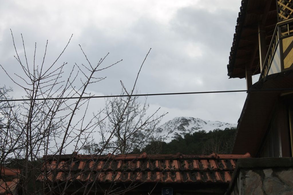
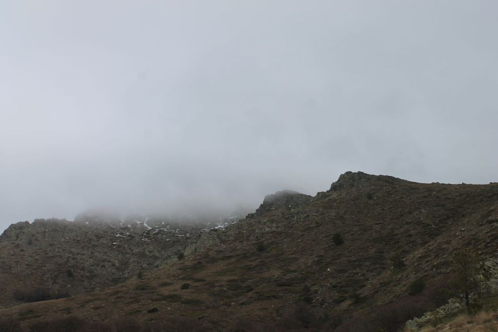
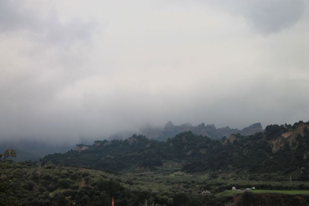
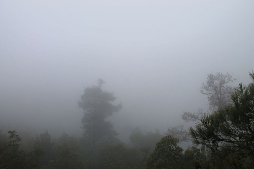
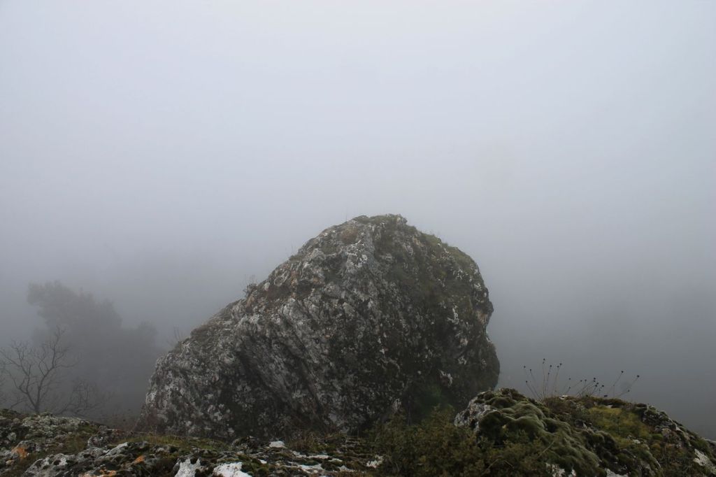
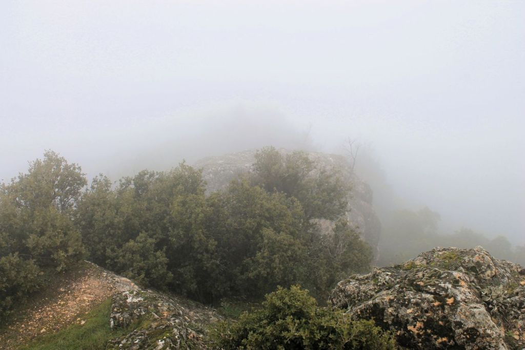
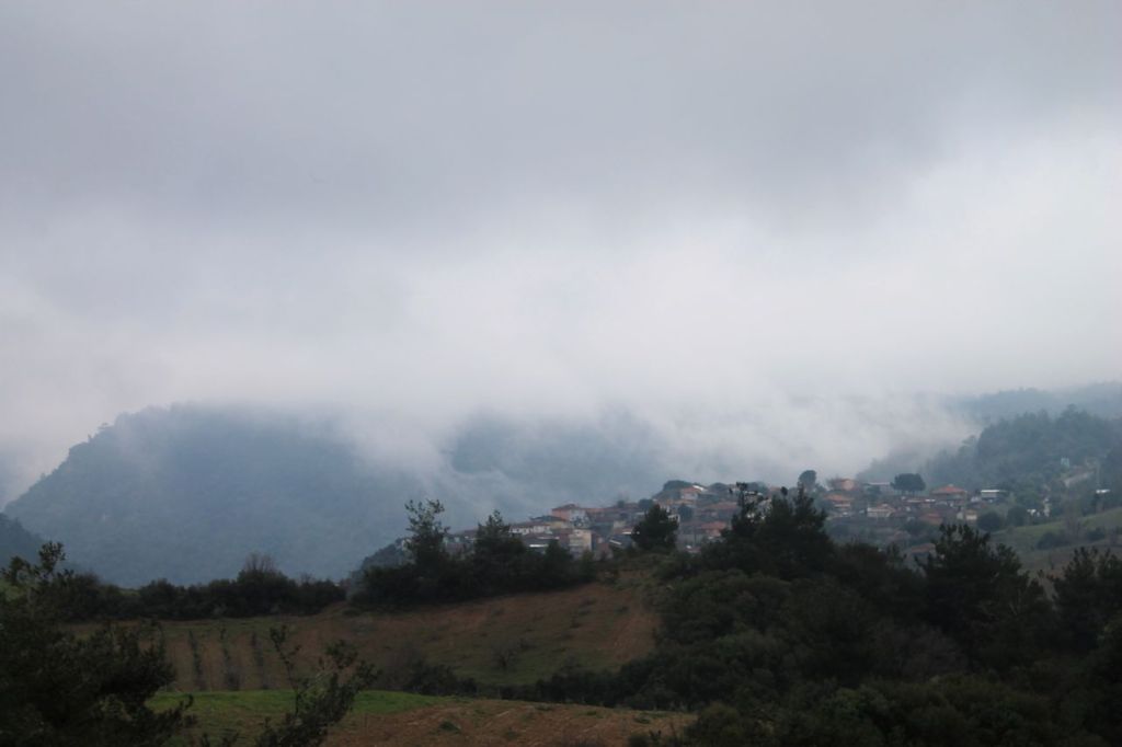
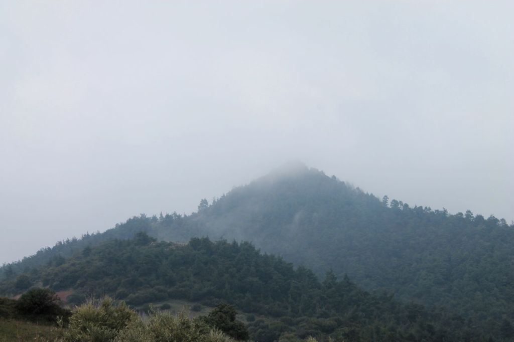
It was a hike with Izdak.org. The weather forecast promised rain, but at first, as we walked through the forest, everything was fine—just cloudy. But as we climbed higher and left the forest behind, the weather took a turn for the worse. There was heavy fog, wind, and rain on the mountain, which at times turned into hail and then snow. I had to hide my camera and start fighting the precipitation. The raincoats didn’t help much in the strong wind. I had brought thick winter gloves, but after a while even they got wet. And one person didn’t even bring a raincoat!
We started a little late, around 11 a.m., so we encountered tourists who were already descending from the summit. I must say that many of them did not look very well—they were wet, cold, and exhausted! But our group pressed on despite the worsening weather. Another determined group was ahead of us, but at some point they stopped and turned back. Our guides paused to think. They talked to an athlete coming down from the summit, and he said that without crampons, it would be very difficult to continue. We didn’t have crampons, so the guides decided not to take any chances. With a heavy sigh, our group turned around and began the descent. Not this time! We didn’t make it 250 m to the summit.
Search
Latest Stories
Quote of the day
“The world is a book and those who do not travel read only one page.”
– St. Augustine

