backpacking
-
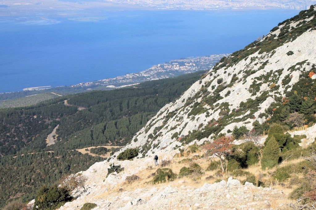
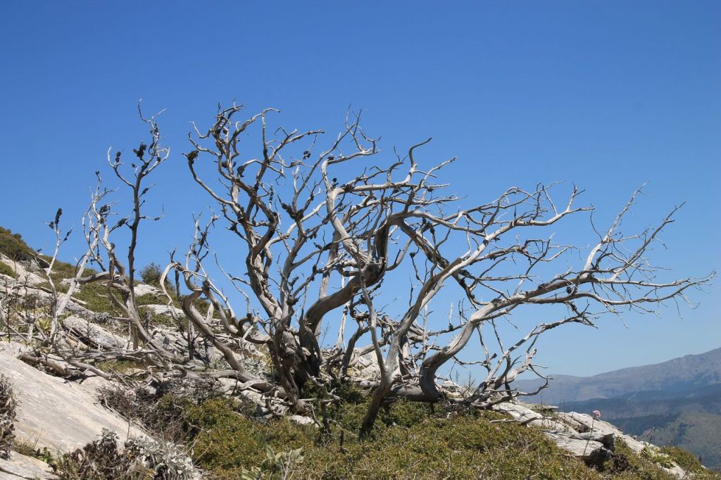
Turkiye. Liman Reis – Çatalkaya – Narlıdere.
Chatalkaya in Turkish means “forked rock”. Chatalkaya Mt. has two summits connected with a pass. The company of soulmates decided to visit this interesting mountain. The weather was beautiful. The start point is close to the Izmir and could be reached with a bus. The conditions are ideal. We went without rushing and enjoyed views.…
-
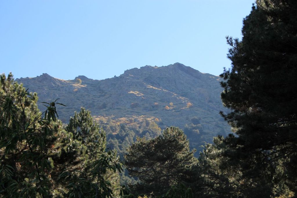
Turkiye. Bozdağ (2159m).
Once I was tired from boring tracks from clubs. I offered to my friend to organise a trip by ourselves. A trip which won’t be offered by a club because “it’s too difficult” for simple hikers without license. We offered a trip to other friends, but all was busy. A usual $-). Our aim is…
-
Turkiye. Sarnıç – Kaynak – Gürle
This track was in a group of people under a guidance of touristic club Izdak. It was the light walk without challenge. The weather was fresh and perfect for the hiking. Our path was along the canyon. Some views where nice but we couldn’t see a lot from the bottom of the valley and hi…
-

Turkiye. Kösedere – Akdağ Summit – Kösedere
This track was in a group of people with a guide from a touristic club. The team was perfect, the weather was fine, but we didn’t reach the summit! The path disappeared sometimes, and the bushes were difficult to walk through. Sometimes we had to climb the stone curves. The guid was unprepared. He didn’t…
-
Turkiye. Manisa – Mt. Spil (1530m) – Manisa.
New hiking season started. My friend invited me to reach Spil summit from the north side. We were there already but walked from the south side. North track is more challenging. Spil looks like a stone wall from the north side. We found several tracks on the Wikiloc and started. The weather was sunny and…
-
Turkiye. Kızılca – Keldağ – Lübbey köyü. Creepy village.
Challenging track to the mountain about 12km and visit to the abandoned village. wikiloc
-
Turkiye. Çile – Dede dağı – Ataköy.
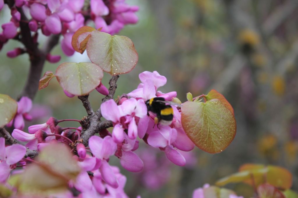
Noteworthy track about 19km. wikiloc There is a spring in full swing and all around is covered be the pollen of blossoming plants.
-

Turkiye. Hitit kabartması – Dağ Beli – Dereköy.
Light track about 13km. wikiloc Track started near Karabel relief – ancient monument broken by barbarians in 2019. wikipedia


