Lakes
-
Turkiye. Balchova hills.
I got some hikes in March alone in Balchova hills. They are comfortable because you can reach the starting point by metro! So I did it every Sunday.Balchova dam about 15km wikiloc Behzattepe(~700m) – Manastır about 19km wikilocKorutürk – Karabelen(~1000m) about 25km wikilocManastir about 21km wikiloc
-
Turkiye. Balchova Termal otel – Halkapınar çeşmesi.
This track was challenging because I travelled alone. I found a track about 16 km visiting Balçova baraj in the wikiloc and started. But I realised I started from the finish point of the track! All day my smartphone told me about wrong direction. Sometimes I lost the path and was looking for the pathway.…
-
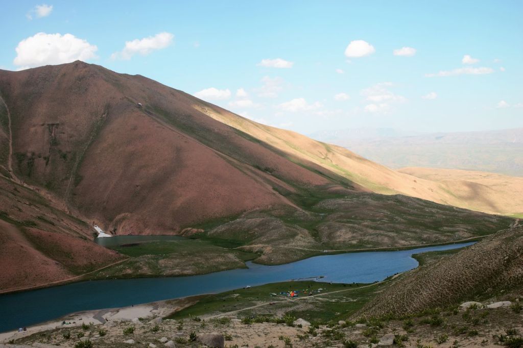
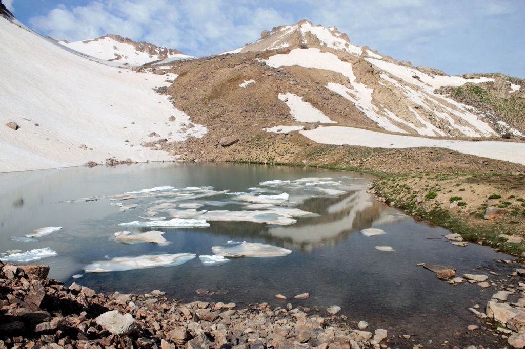
Uzbekistan. Arashan lakes. Day #1.
Arashan lakes are located on Angren plateau with heights from 2770 to 3350 above sea level. First day was a long way from Tashkent to Ertash village by minibuses. After that was a serpentine and off-roading – about 3 hours by soviet offroad cars “Niva”.
-
Uzbekistan. From Paltau to Brichmulla.
It was hike from the bank of Chorbog reservoir to Paltau waterfall. Then we went over Dodekadim pass to Brichmulla village. Distance was about 17 km. Hike was without strong climb but temperature was more then 35° C.
-

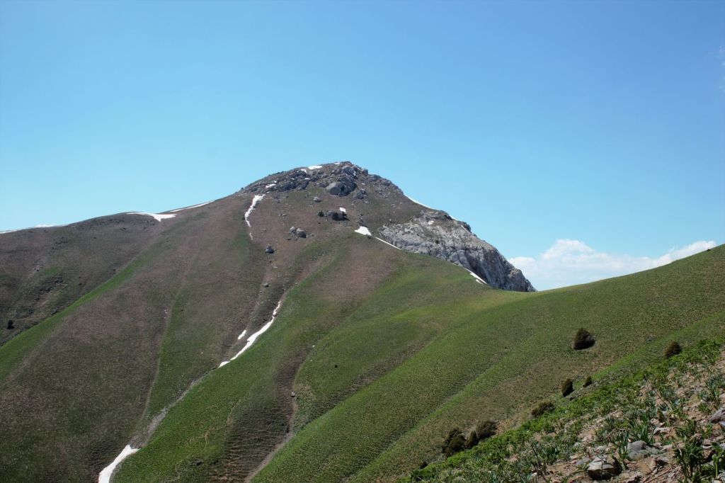
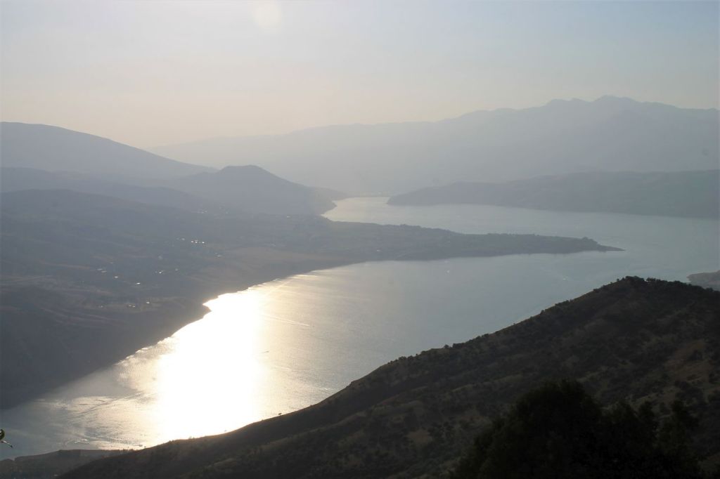
Uzbekistan. “Komsomolets” mountain pass (2700 m)
Hard one-day hike about 20 km and climb about 1700 m. As award you get amazing views on Chorbog water reservoir, Big Chimgan, “Ohotnichiy” peak, Pulat-han plateau, Perya mountain.
-
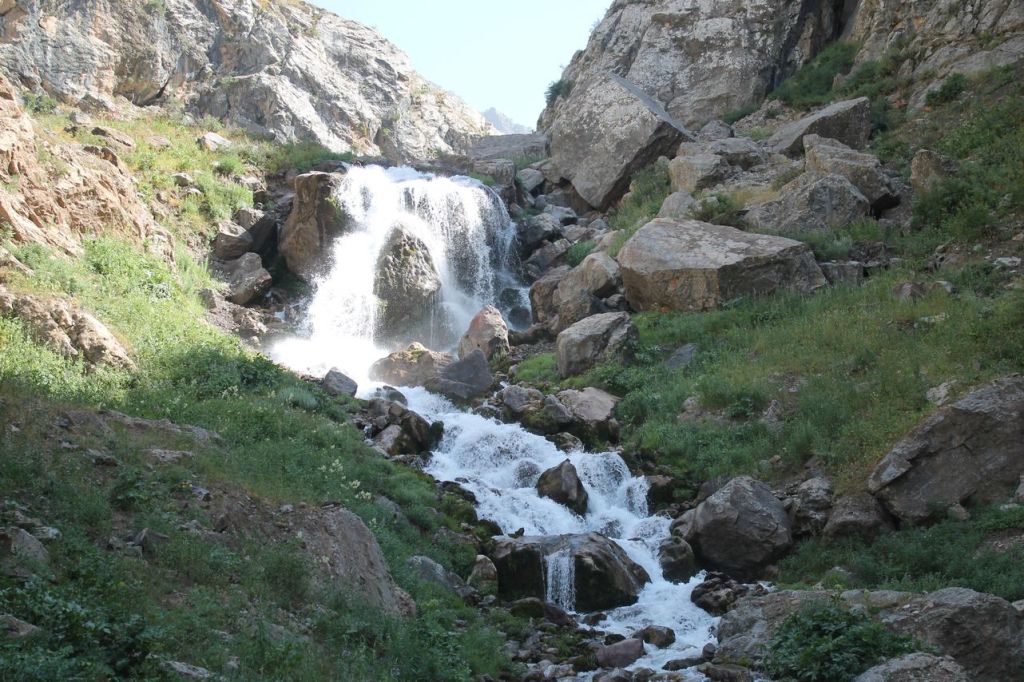
Uzbekistan. Badaksay.
It was tour in the middle of “chillya” – the hottest time of the year in Uzbekistan. Travel from the glowing city to the coolness of lakes and waterfalls – along the Badaksay river to the Badak lake and further – to the beautiful waterfall.
-
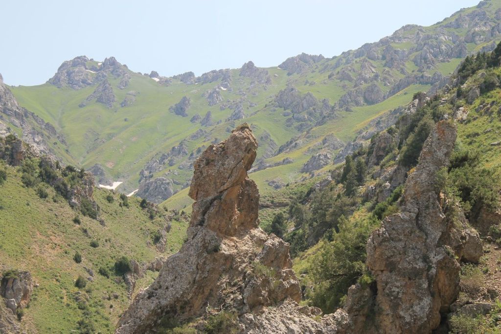
Uzbekistan. Mazarsay (Fridge)
One day tour 15 km long to the source of Mazarsay river located near mountain passes Komsomolets and Tumanny. This place calls Fridge because of snow till the end of summer (while the height less 2000m) and very cold water. Start point was near Chorbog water reservoir.